

- Brief description
-
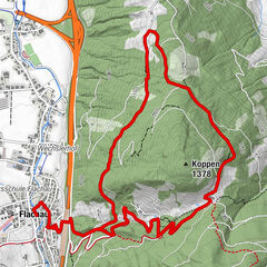
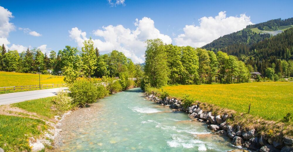
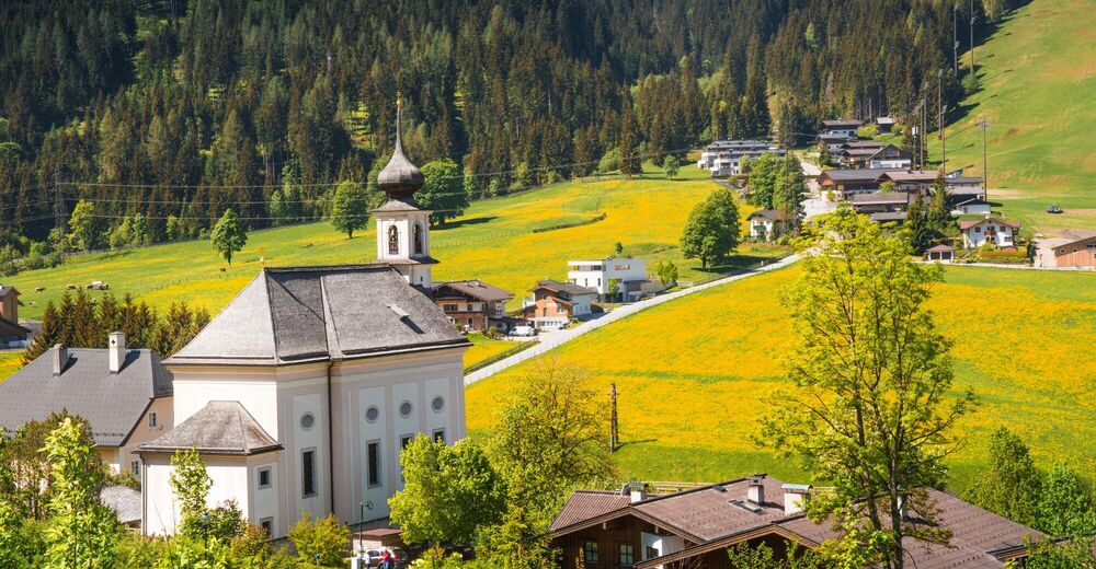
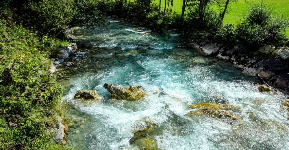
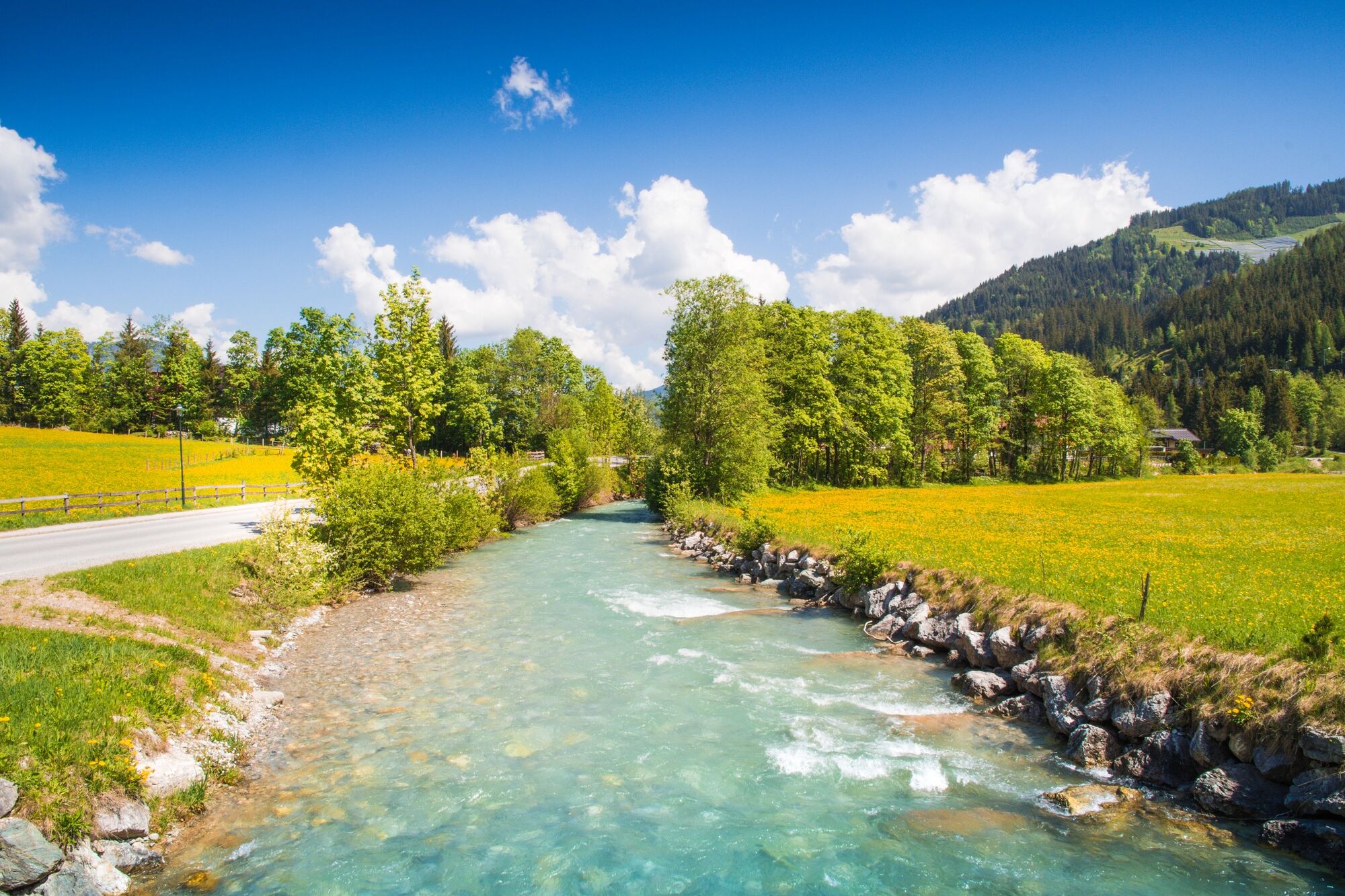
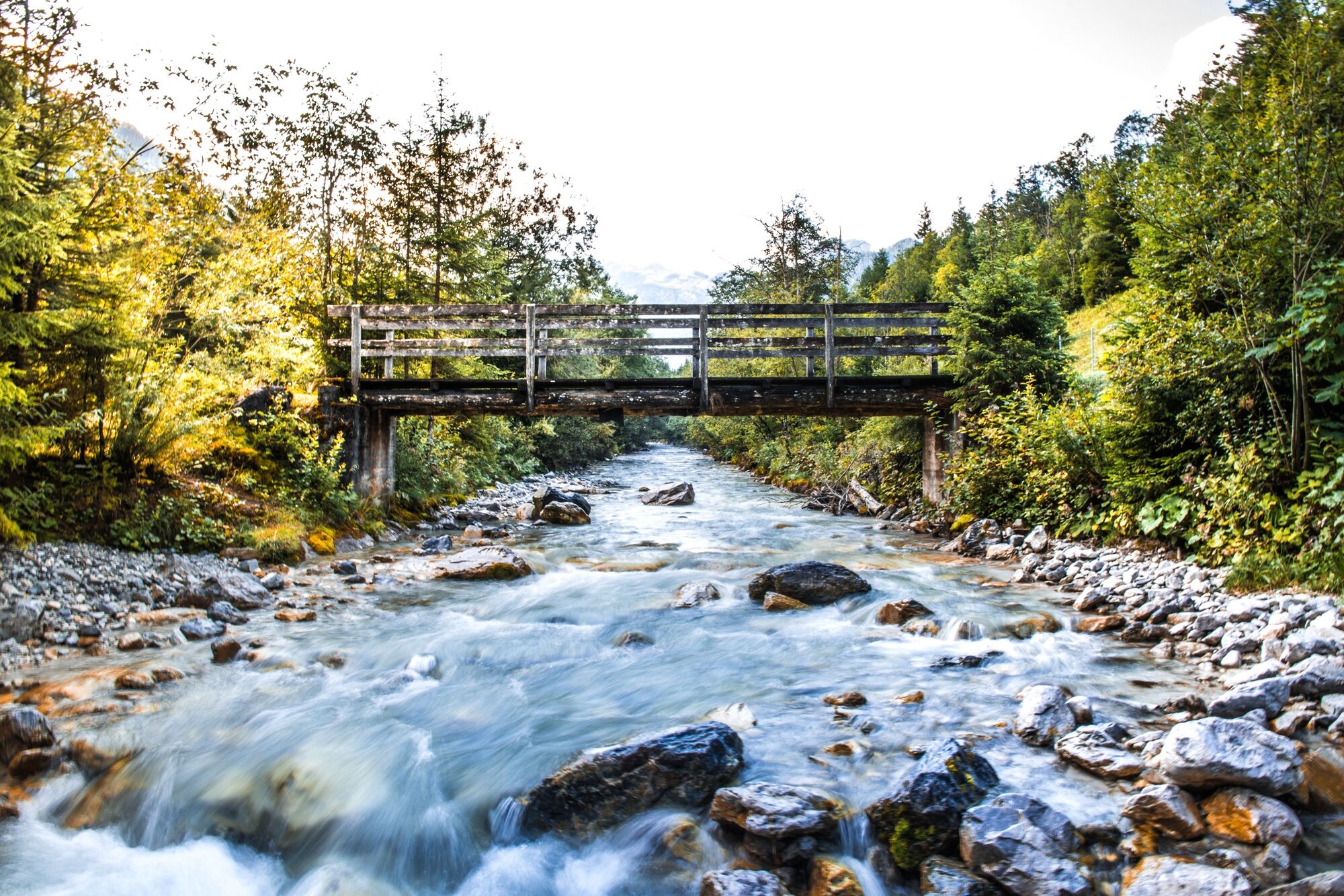
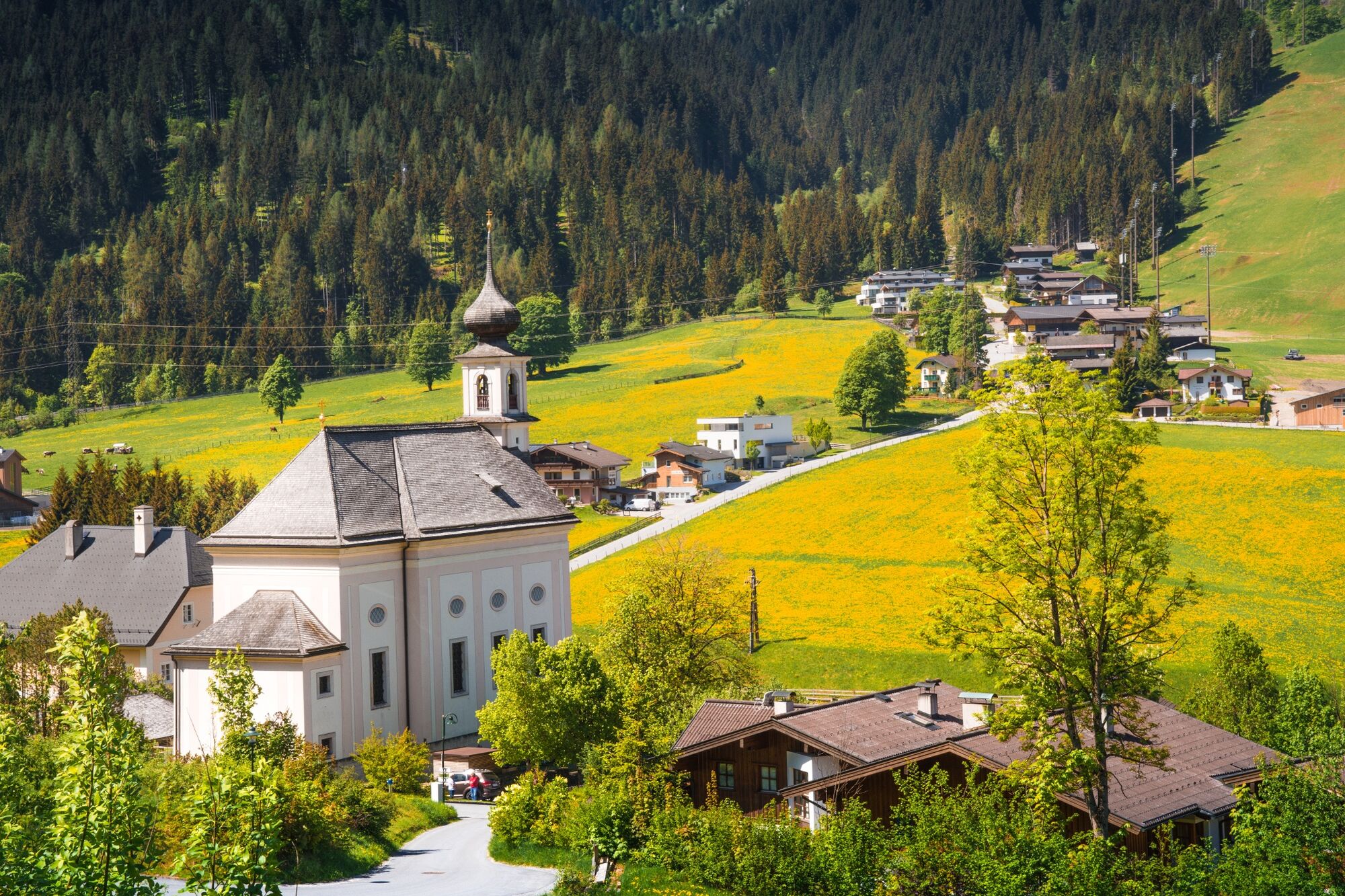
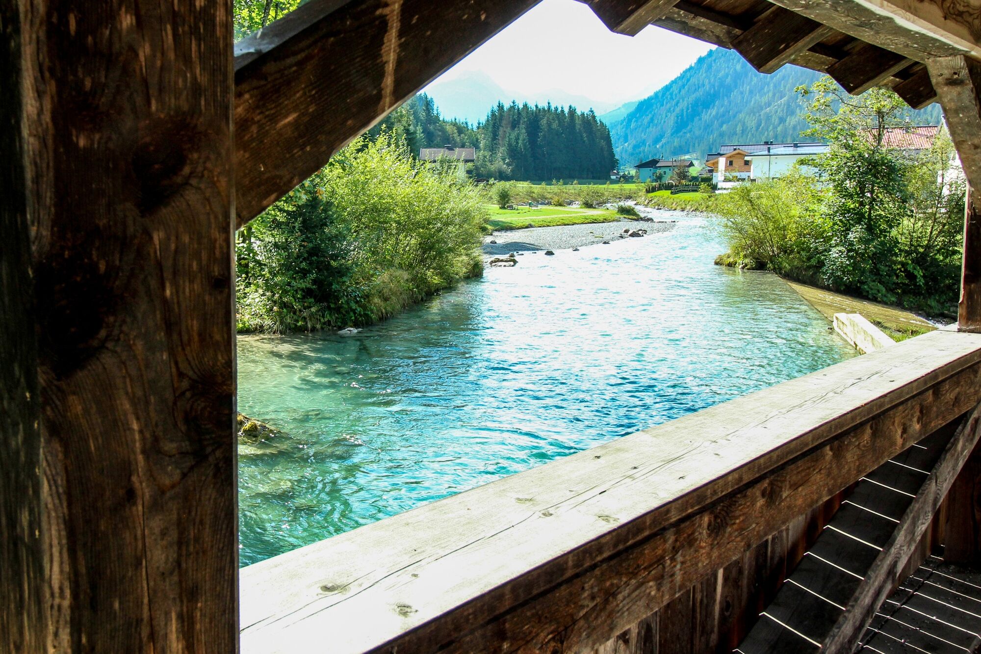
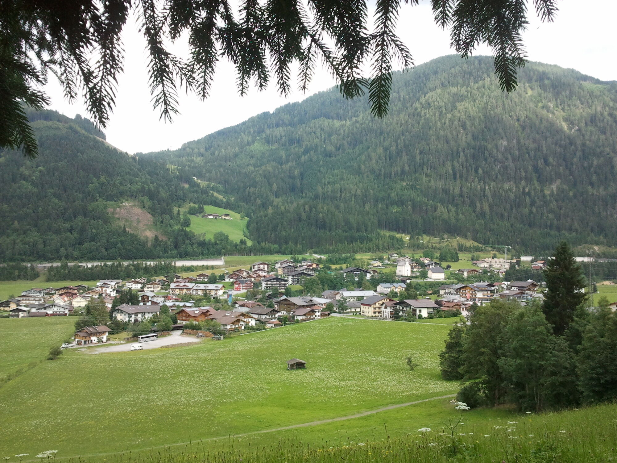
The Flachau "Wasser beWegt" ("Water moves") tour, which is suitable for prams, deals with various topics that all relate to this wet, important element. You can also discover Flachau with all its facets and get a good overview of the town centre.
- Difficulty
-
easy
- Rating
-
- Starting point
-
Parking lot in the center of Flachau
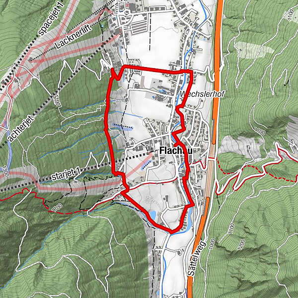
- Route
-
FlachauPfarrkirche Flachau4.0 km
- Best season
-
JanFebMarAprMayJunJulAugSepOctNovDec
- Description
-
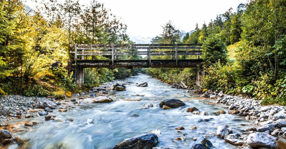
This themed circular trail around the centre of Flachau takes an intensive look at the element "water". Through informative stations and different themed areas, you can find out what water can do.
The circular trail is also a real tip on rainy days!
Refreshment stops such as The Place, Restaurant Possruck, Zum Holzwurm or the Dorfalm Flachau are located directly on the trail.
- Directions
-
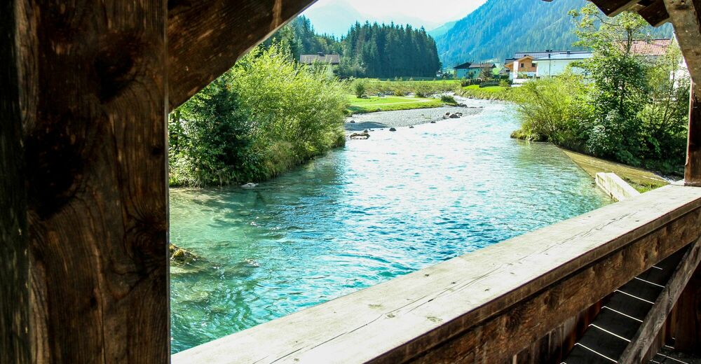
Flachau centre - cross bridge across the Flachau Tourism - turn left - cross kids playground - Kapellenweg - Stahlhammergasse - along the cycle trail to sports ground - cross bridge to supermarket "M- Preis" and parking space - take a left next street at Hauptstraße - meadow way (Wiesenweg) - at cross road left towards summer tobagganing - take a right there - take path Nr. 4 - via forest way (Waldweg) to Restaurant "Zum Holzwurm" - Wastlbauer - path Nr. 4 - Mountainbike parcours - "Holzwärme" - go left towards village centre - across Grießbachweg right - cross bridge - then left to the doctor - there take path towards church - below the church back to Flachau Tourism.
The theme trail can also be walked in sections and also in reverse direction.
- Highest point
- 980 m
- Endpoint
-
Parking lot in the center of Flachau
- Height profile
-

- Equipment
-
there is no special equipment necessary
- Safety instructions
-
Planning & preparation: Precise tour planning is recommended before every mountain tour. Information from local experts such as mountain guides or hut keepers as well as hiking maps will help you.
Check the weather forecast: A must-do before every hike. The weather can change unexpectedly in the mountains. Keep an eye on the current weather conditions at: www.zamg.ac.at.
Important tips:
o Do not overestimate yourself
o Manage your strength and endurance well
o assess your surefootedness and head for heights
o Do not step on stones
o turn around in good time if the weather changes
Mountain rescue number: The telephone number 140 is the emergency number for alpine accidents in Austria.
- Tips
-
At the tourist info Flachau you get a hiking map with information to this tour.
- Additional information
- Directions
-
To Flachau "Ortsmitte"
- Public transportation
-
From June to September, the Sportweltbus is the ideal shuttle service for your hiking tours in the entire region (Flachau, Wagrain-Kleinarl, St. Johann-Alpendorf, Radstadt, Altenmarkt-Zauchensee, Eben, Filzmoos, Obertauern, Großarl & Hüttschlag).
With the Flachau Summer Card you can use the Sportweltbus for only Euro 1,00 per person and route. Children under 6 years travel free!
More information at: https://www.flachau.com/en/more/information/sportweltbus.html
- Parking
-
Parking possibilities are available at the center of Flachau (BBF-Center & Minigolf).

-

-
AuthorThe tour Way of Water - local circular route is used by outdooractive.com provided.


General info
-
Katschberg Lieser-Maltatal
2574
-
Salzburger Sportwelt
2210
-
Flachau
621