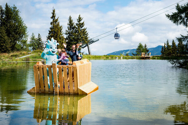


- Brief description
-
The Hohe Tauern National Park has not only placed the untouched natural landscape under protection, but also the cultural landscape that has been man-made over the centuries. Along this themed trail you will learn more about "togetherness", in harmony with nature.
- Difficulty
-
medium
- Rating
-
- Starting point
-
Hüttschlag car park, Talwirt inn
- Route
-
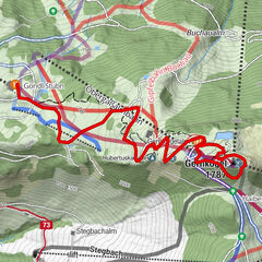
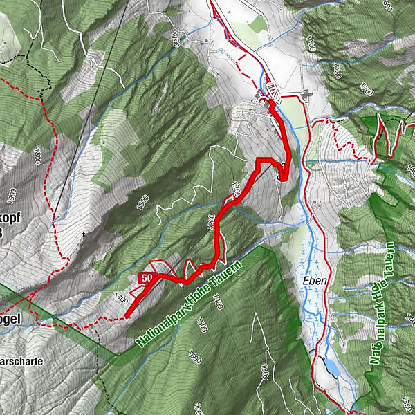
Talwirt0.0 kmBauernladenstüberl0.0 kmPertillkapelle0.2 kmSee0.5 kmModereggalm2.4 kmSee4.3 kmPertillkapelle4.5 kmBauernladenstüberl4.6 kmTalwirt4.7 km
- Best season
-
JanFebMarAprMayJunJulAugSepOctNovDec
- Description
-
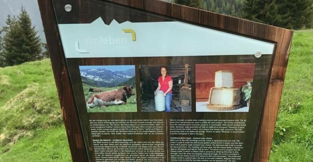
Sustainable forms of management at different altitudes have created an extraordinary variety of habitats for animals, plants and humans with the help of natural resources. You will find out how carefully nature is treated and how important grazing the alpine meadows is for the continued existence of this cultivated land, among other things on this hike along the nature trail "Auf die Alm".
Start of the tour: Hüttschlag car park, Talwirt inn
Requirements: medium-difficult hike
Walking time: approx. 3.5-4 hours (there and back)
Distance: approx. 5 km
Elevation gain: 676 m.
Best hiking time: July - October
- Directions
-
The hike starts in Hüttschlag, at the parking lot of the Talwirt inn and leads to the Modereggalm at 1720 m. The first floor of the Talwirt building houses the mountain forest exhibition and an information point for the Hohe Tauern National Park.
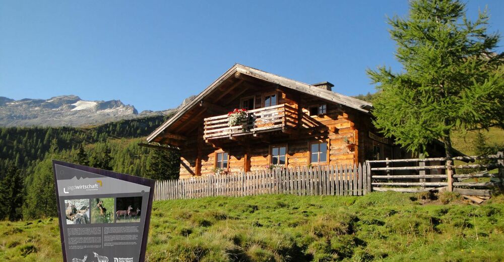
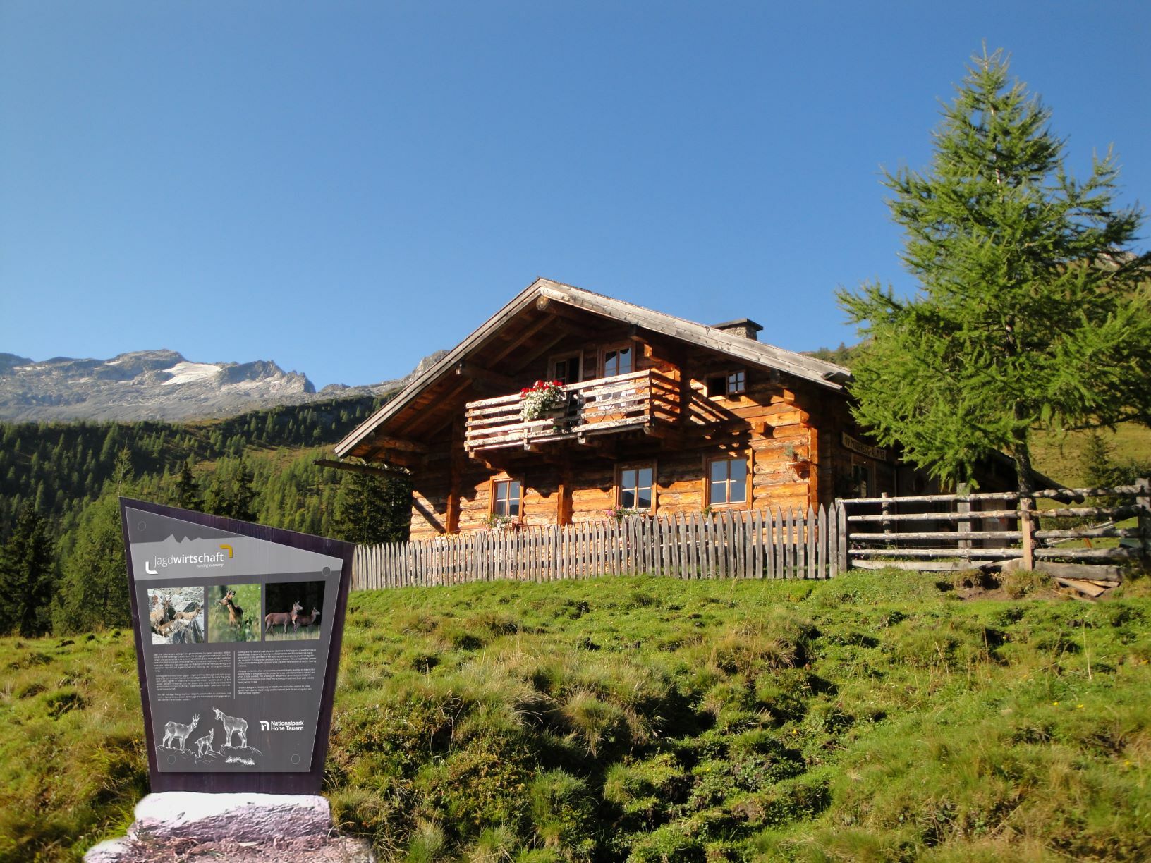
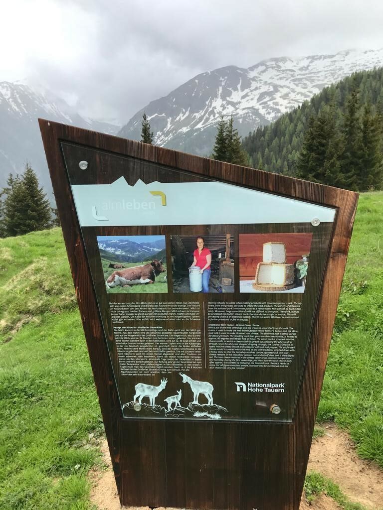
First it goes in the direction of the Pertill Chapel, which was built as a thank you for a happy return from the Second World War, and then on over meadows up into the high forest to a small hunting lodge. The path finally leads in somewhat steeper serpentines to the Modereggalm, always accompanied by clear information boards.
Once at the top, there is a wonderful panoramic view of the Keeskogel (2884 m) and the only glacier in Grossarltal. Homemade specialties such as bread, butter, cheese, bacon and fresh cakes make you forget all the effort of the ascent.
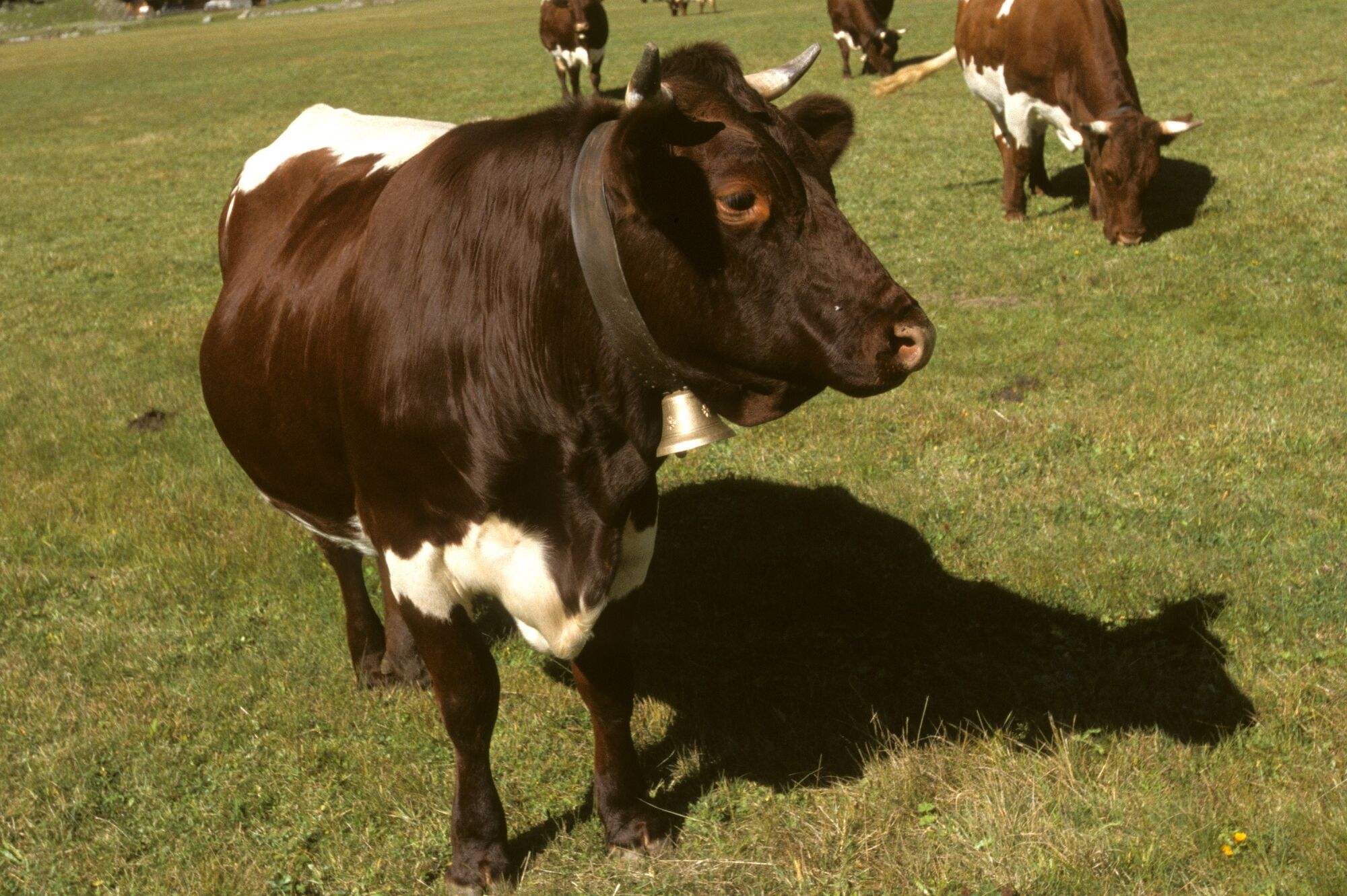
In the Modereggalm area, many cows and sheep graze and spend their summer in the "Gstöß" below the Keeskogel.
- Highest point
- 1,717 m
- Endpoint
-
Hüttschlag car park, Talwirt inn
- Height profile
-

- Equipment
-
Equipment: hiking clothing adapted to the season and weather conditions mountain hiking boots backpack with food rain and sun protection 1. Help-Set Handy gf. walking sticks
- Directions
-
Via the A 10 Tauern motorway - exit Bischofshofen - on the federal road 311 to St. Johann i. Pongau - turn right onto Großarler Landesstraße - after approx. 10 km you will reach the center of Großarl - another 8 km into the valley is the mountaineering village of Hüttschlag.
- Public transportation
-
The destination station when arriving by train is the station in St. Johann i. Pongau. You can then take the 540 Postbus (with a written reservation confirmation from the accommodation for just € 1) or by taxi to Grossarltal, to the two towns of Grossarl and Hüttschlag.
- Parking
-
Hüttschlag car park, Talwirt inn
- Author
-
The tour Themed trail "To the Alm" is used by outdooractive.com provided.


General info
-
Katschberg Lieser-Maltatal
2574
-
Großarltal
2171
-
Hüttschlag
852