


- Brief description
-
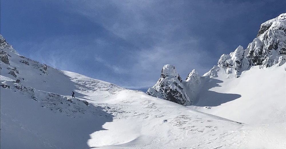
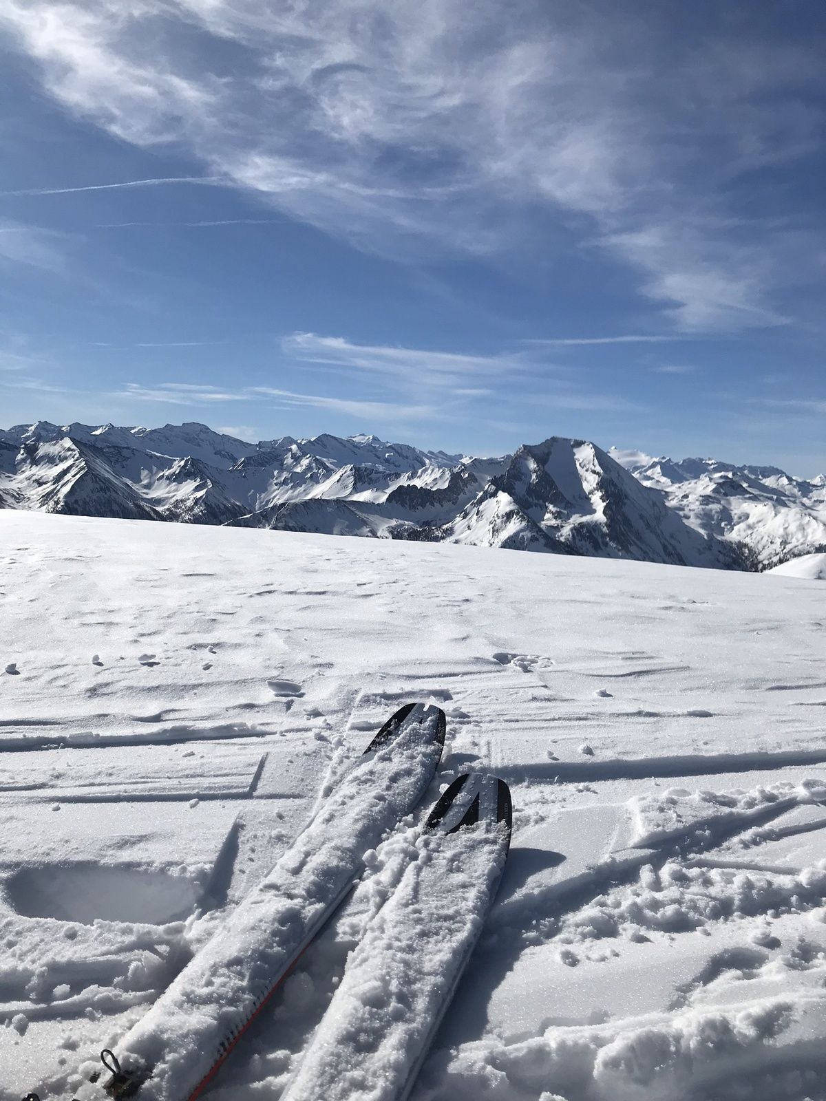
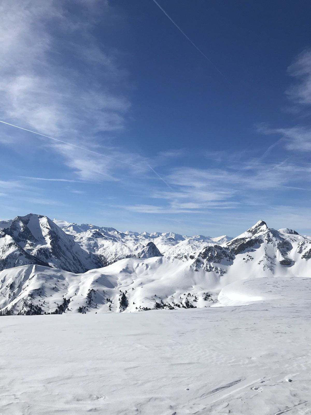
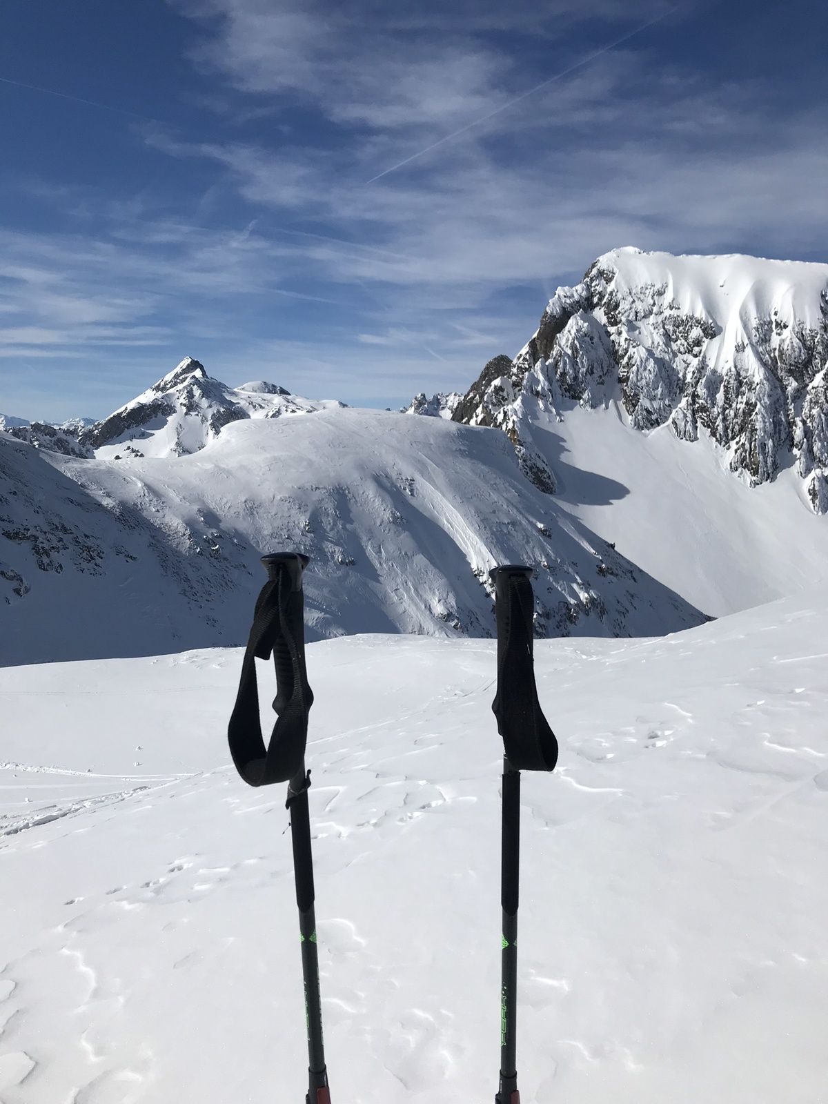
The Taferlnock with its 2,375m is an imposing elevation in the outlet of the Hohe Tauern. This tour requires a good level of fitness and alpine surefootedness.
- Difficulty
-
difficult
- Rating
-
- Starting point
-
Parking Gasthofalm
- Route
-
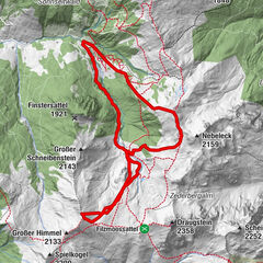
Taferlnock (2,375 m)6.0 km
- Best season
-
AugSepOctNovDecJanFebMarAprMayJunJul
- Description
-
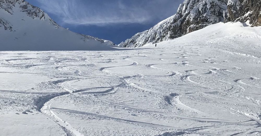
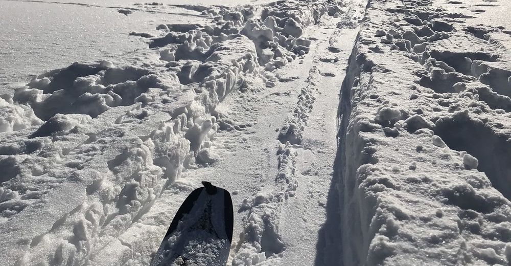
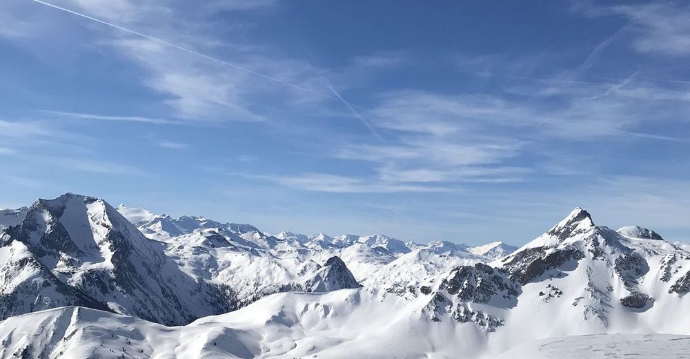
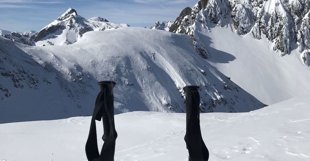
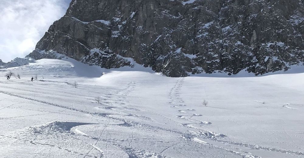
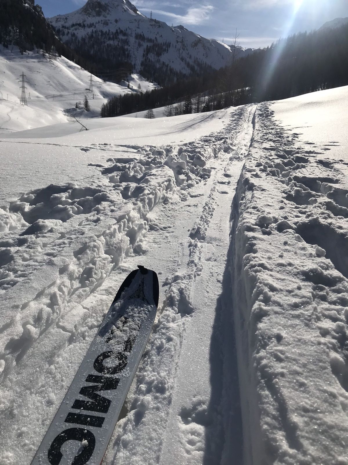
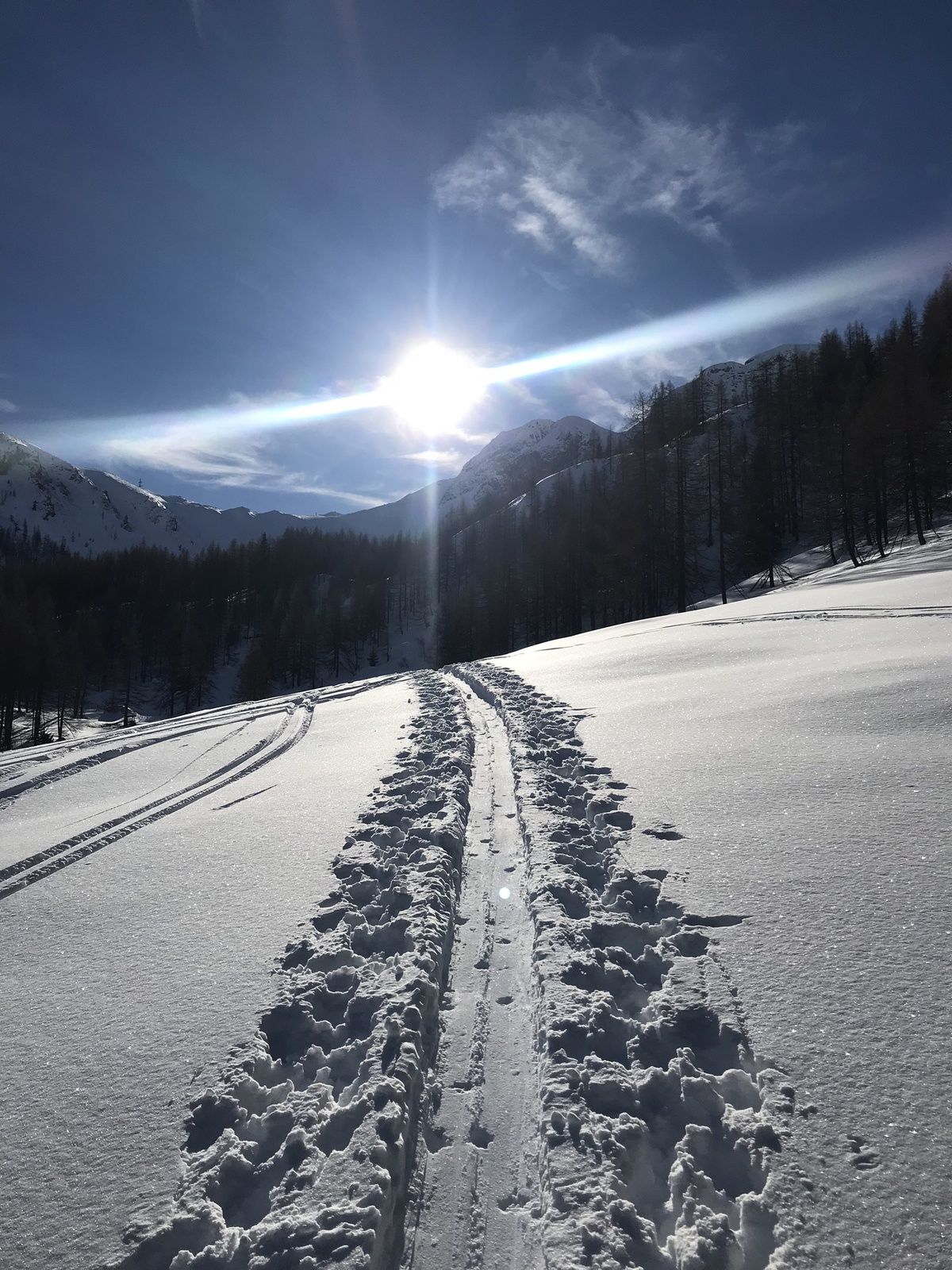
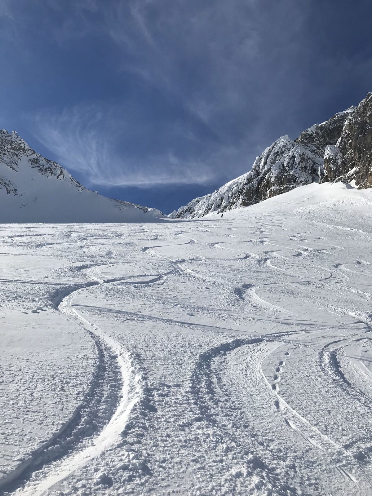
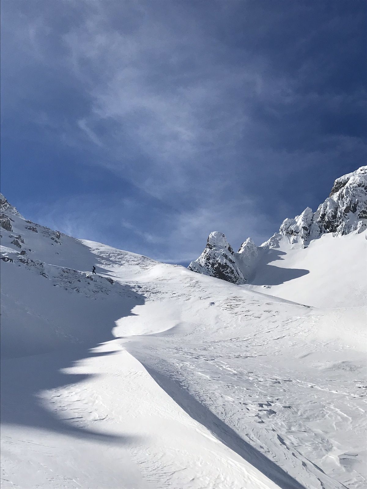
The tour begins at the parking lot of the Gasthofalm (closed) and leads past the Tauernalm chapel. From there it goes through the Pleißlingtal. The ascent towards Taferlnock takes you past the alpine pastures. Be careful on the steep slopes, there is a risk of avalanches (check the current avalanche situation). Arrived at the Taferlnock, the Radstädter Tauern show themselves from their most beautiful side.
- Highest point
- 2,369 m
- Endpoint
-
Parking Gasthofalm
- Height profile
-

- Equipment
-
Avalanche transceiver equipment, crampons recommended, mobile phone, topographical map, multi-layered clothing, a change of clothes, sunscreen, sunglasses, snack.
- Safety instructions
- Directions
-
Anfahrt über Autobahn A10. Bei Flachauwinkel abfahren und weiter taleinwerts Richtung Gasthofalm.
- Public transportation
-
This tour can be reached with the Postbus. There is a bus stop near the entrance.
- Parking
-
Parking options near Gasthofalm

-

-
AuthorThe tour Skitour Taferlnock is used by outdooractive.com provided.


General info
-
Katschberg Lieser-Maltatal
268
-
Obertauern
155
-
Untertauern
49