© RUNNERSFUN Consulting GmbH - Felix Ettinger

- Difficulty
-
difficult
- Rating
-
- Route
-
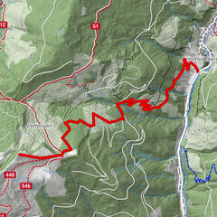
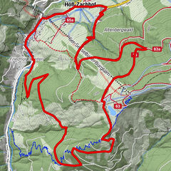
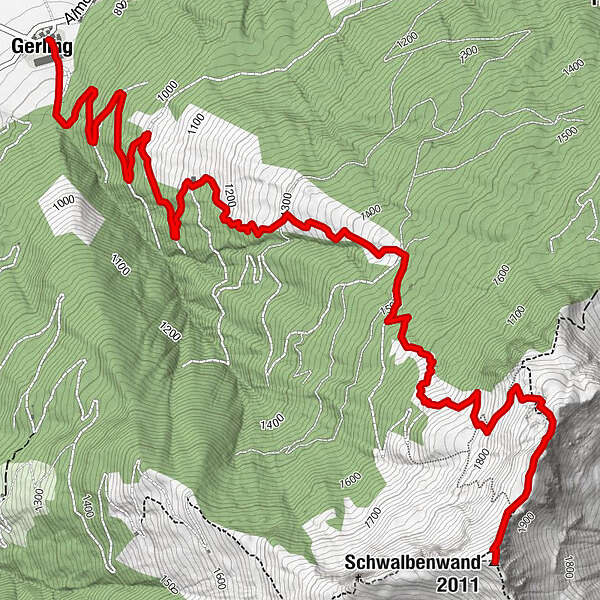
Gerlingerwirt0.0 kmGerling0.0 kmGerlinger Alm5.0 kmSchwalbenwand (2,011 m)6.6 km
- Best season
-
AugSepOctNovDecJanFebMarAprMayJunJul
- Highest point
- 2,002 m
- Endpoint
-
Gipfel Schwalbenwand
- Height profile
-


- Author
-
The tour Gerling / Schwalbenwand is used by outdooractive.com provided.
GPS Downloads


Other tours in the regions
-
Saalfelden - Leogang
128
-
Maishofen
25