- Brief description
-
Wonderful ski tour to the highest grassy mountain in Europe, the Gamskarkogel.
- Difficulty
-
difficult
- Rating
-
- Starting point
-
Hüttschlag - farm Hinterfeld
- Route
-
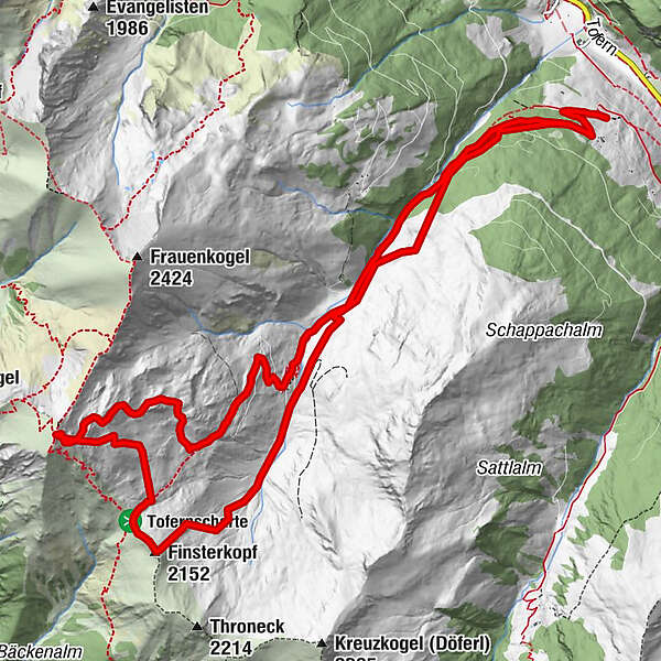
Oberharbachalm4.3 kmGamskarkogel (2,467 m)7.4 kmGamskarkogelhütte (2,465 m)7.4 kmFinsterkopf (2,152 m)9.1 km
- Best season
-
AugSepOctNovDecJanFebMarAprMayJunJul
- Description
-
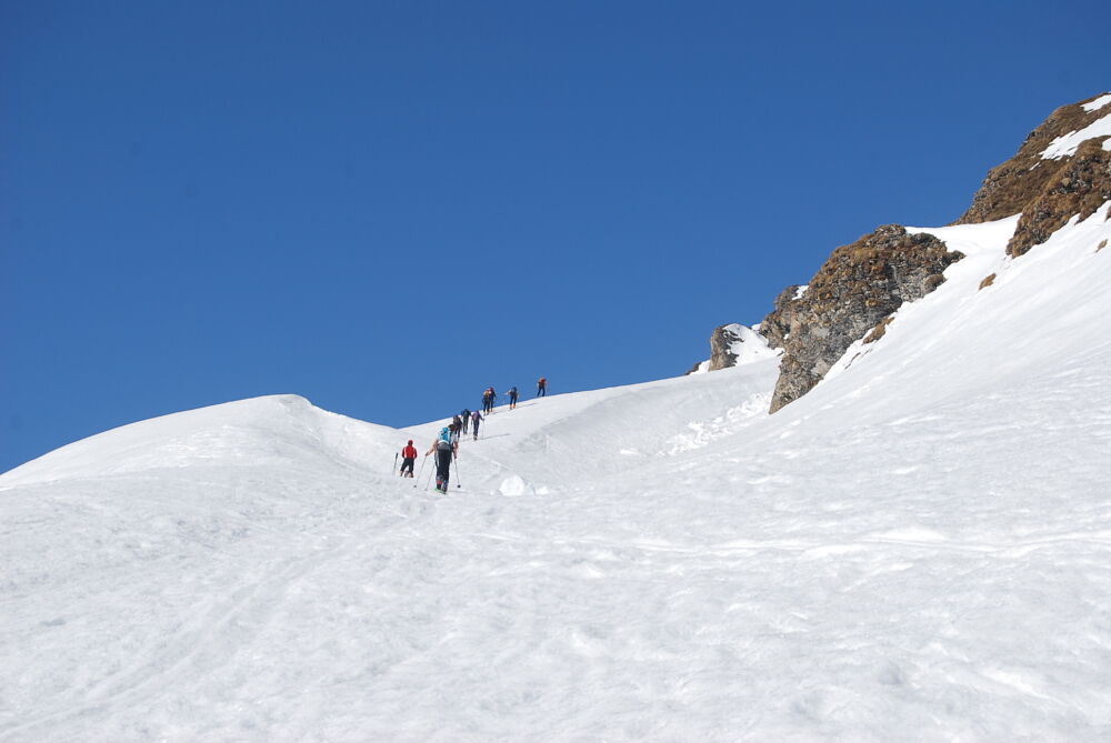
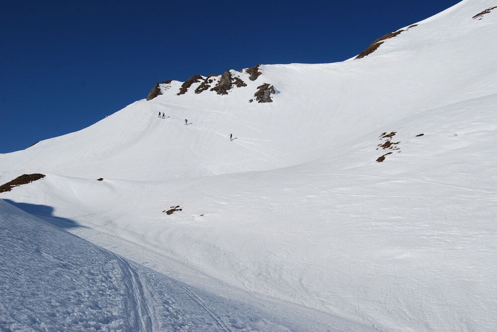
From the Hinterfeld farm, you first walk along the forestry road. Here you will pass a chapel. Over the Harbachalm and the Tofernalm, which are not farmed in winter, the path goes uphill to the Gamskarkogel, the highest grassy mountain in Europe.The view from the Gamskarkogel has gained world renown. It stretches over the entire chain of the Hohe Tauern, from the Wilder Kaiser to the Dachstein.
And the best: There is a hut (in the winter but not managed) right at the summit. This Alpine Club Lodge is one of the oldest shelters in the Alps. The hut was built in 1828 by Archduke Johann.
The descent is along the ascent trail.
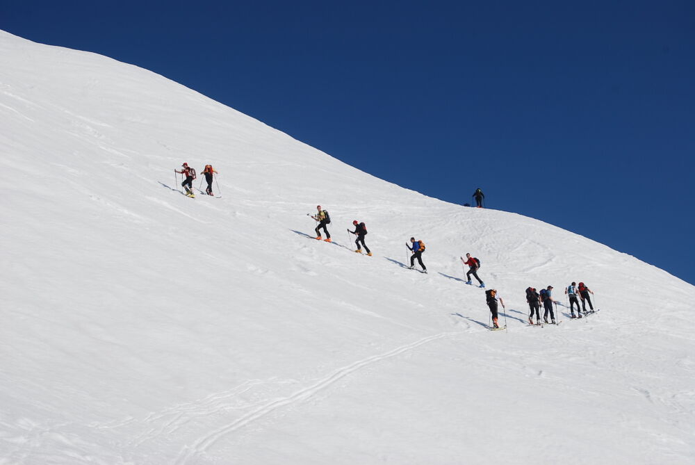
The Gamskarkogel is a beautiful ski touring mountain, it can be climbed in several ways, but in case of bad weather the mountain can be dangerous. The route described here is the most common.
The ski tour on the Gamskarkogel is particularly popular in spring. But beware: In the spring, you have to start early in the morning, so that the snow is still good.
- Directions
-
ASCENT: From the farm Hinterfeld along the forestry - past the chapel - into the Toferntal to the two Tofernalmen (Harbachalm and Tofernalm). From the upper Tofernalm (1.800 m), you pass the hut towards Tofernkar - here you will stay on the hillside and "turn" to the right, looking out on the valley (mostly old ascents) quite marked mountain tops towards the summit - quite steep - powerful weirs below the summit plateau. Pass this to the summit with the Gamskarkogel, 2,467 m., approx. 3 1/2 - 4 h.
DESCENT: You ski down from the Gamskarkogel to the Toferscharte or the Toferalm and further to the farm Hinterfeld, approx. 1 h.
- Highest point
- 2,443 m
- Endpoint
-
Gamskarkogel
- Exposition
- Height profile
-

- Equipment
-
ski touring equipment, transponder, shove, probe, charged mobile phone
- Safety instructions
-
Observe the avalanche warning level!
- Tips
-
This tour is especially beautiful in spring as snow is firn.
- Additional information
- Directions
-
You go by car in direction to Hüttschlag, in front of the tunnel you turn right and go up until the barrier at farm Hinterfeld.
- Public transportation
- Parking
-
parking possibility at the barrier at farm Hinterfeld


- Author
-
The tour Grossarltal: Gamskarkogel (2,467 m) is used by outdooractive.com provided.