- Brief description
-
Wonderful ski tour to the Frauenkogel, one of the most beautiful viewpoints in Grossarl.
- Difficulty
-
difficult
- Rating
-
- Starting point
-
Hüttschlag - farm Hinterfeld
- Route
-
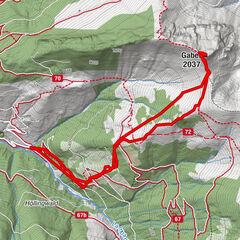
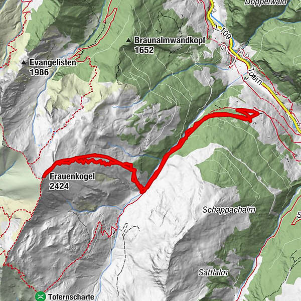
Frauenkogel (2,424 m)6.0 km
- Best season
-
AugSepOctNovDecJanFebMarAprMayJunJul
- Description
-
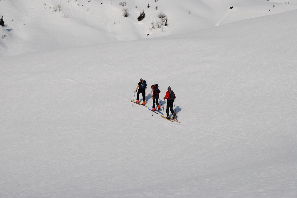
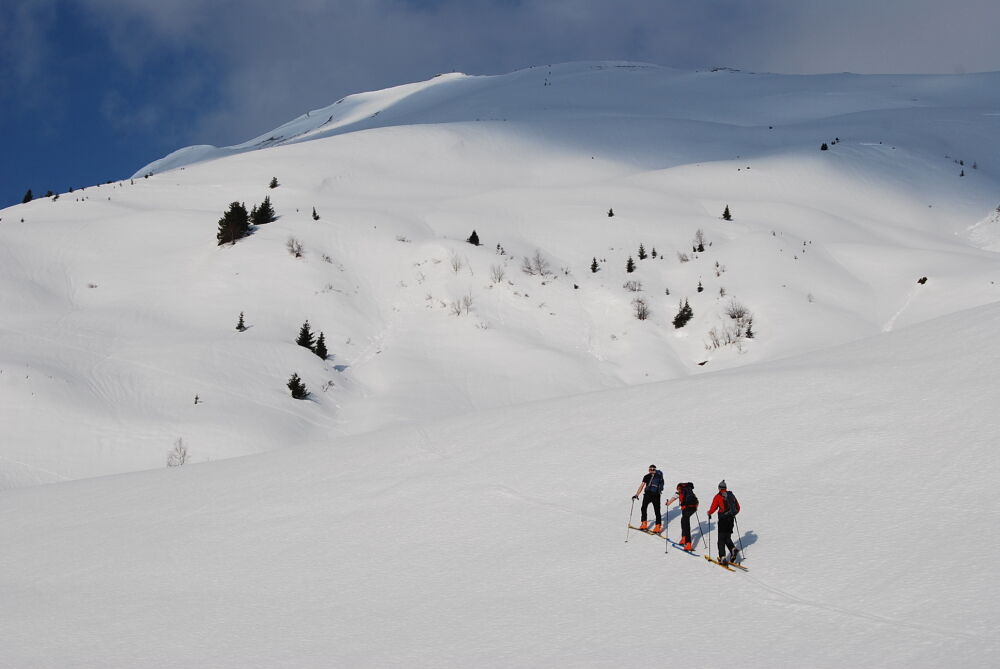
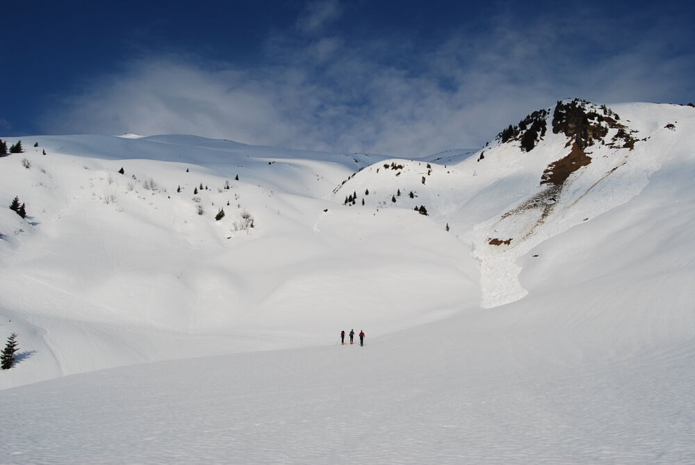
From the parking possibility at the Hinterfeld farm, you first walk comfortably along the forestry road. Follow this road until you reach the signposted junction. Turn right here. After a somewhat steeper climb through the forest, you will then climb up evenly across the "Frauenfelder" to the Frauenkogel.
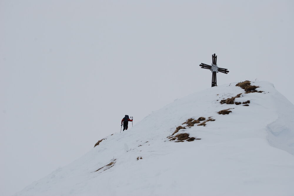
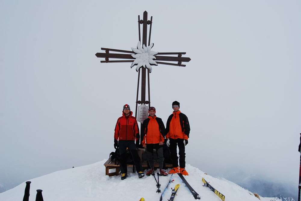
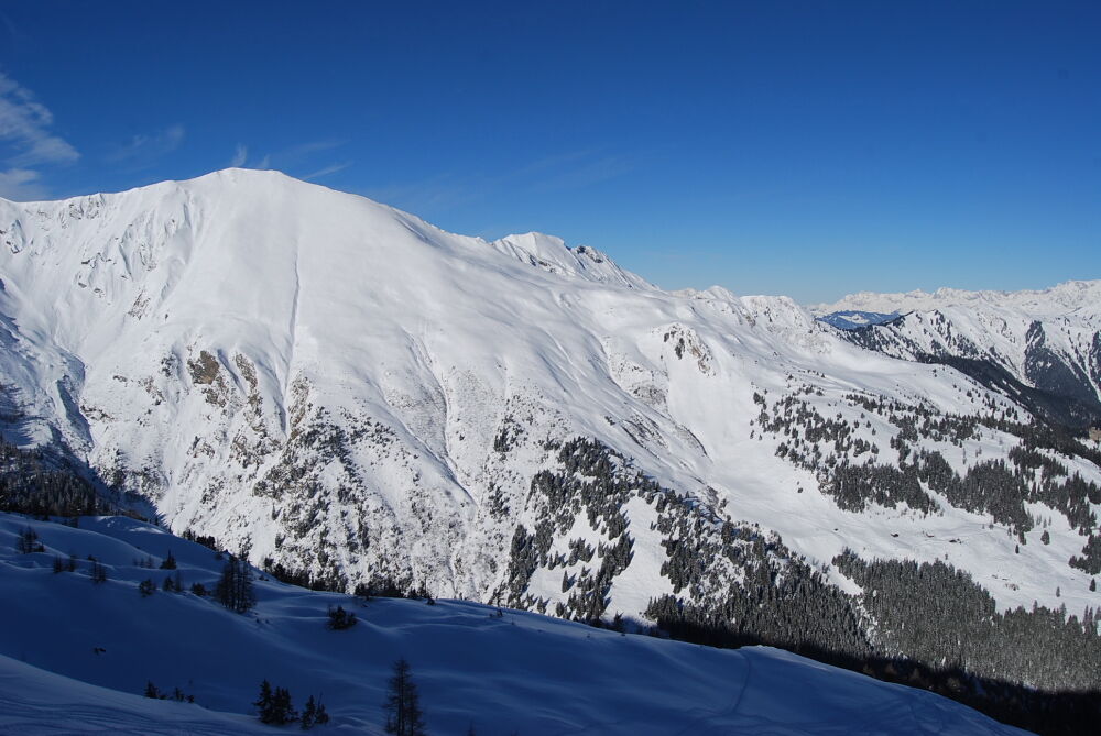
The summit of the Frauenkogel is probably one of the most beautiful viewpoints of Grossarl. The Hohe Tauern, the Hochkönig, the Tennengebirge and the Hagengebirge, the Dachstein - all are in the focus.The Frauenkogel stands there like a pyramid, watching over the valley. A particularly beautiful summit cross with huge white edelweiss in the middle stands on this mountain.
The descent takes place along the ascent trail. The ski tour on the Frauenkogel is particularly popular during spring, when the snow is firn. But beware: In the spring, you have to start early in the morning, that the snow is still in a good condition.
- Directions
-
ASCENT: From the farm Hinterfeld, you go along the forestry road until the signposted junction. You turn right, in direction to Frauenkogel. First through the sparse forest and finally over the "Frauenfelder" directly to the summit of the Frauenkogel, 2,424 m. The alpine meadows are really free of trees and it is relatively steep (about 3 - 3 1/2 h).
DESCENT: You ski down along the ascent track until you reach the forestry road and ski back to the farm Hinterfeld, approx. 1 h.
ATTENTION: The former ascent via the Ebenalmen is not permitted anymore.
- Highest point
- 2,410 m
- Endpoint
-
Frauenkogel
- Exposition
- Height profile
-

- Equipment
-
ski touring equipment, transponder, shove, probe, charged mobile phone
- Safety instructions
-
Observe the avalanche warning level!
- Tips
-
During spring this tour is especially beautiful.
- Additional information
- Directions
-
You go by car in direction to Hüttschlag. Just before the tunnel you turn right and go until the farm Hinterfeld (barrier).
- Public transportation
- Parking
-
parking possibility at the barrier at farm Hinterfeld
- Author
-
The tour Grossarltal: Frauenkogel (2,424 m) is used by outdooractive.com provided.