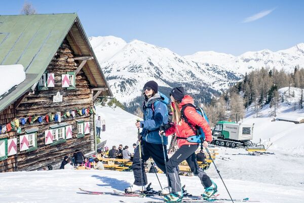
- Brief description
-
Ski tour with a unique panorama view from the Filzmooshörndl.
- Difficulty
-
medium
- Rating
-
- Starting point
-
Parking lot Grund
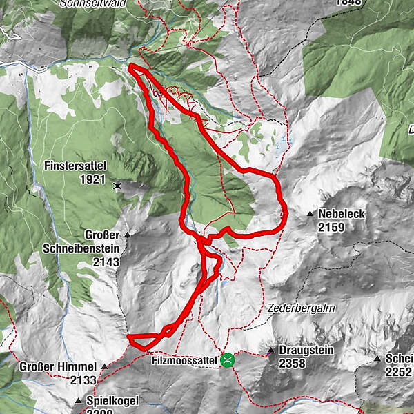
- Route
-
Filzmoosalm2.5 kmFilzmooshörndl (2,189 m)4.9 kmLoosbühel (2,049 m)8.9 km
- Best season
-
AugSepOctNovDecJanFebMarAprMayJunJul
- Description
-
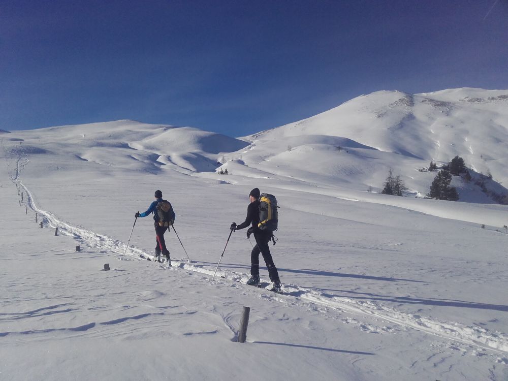
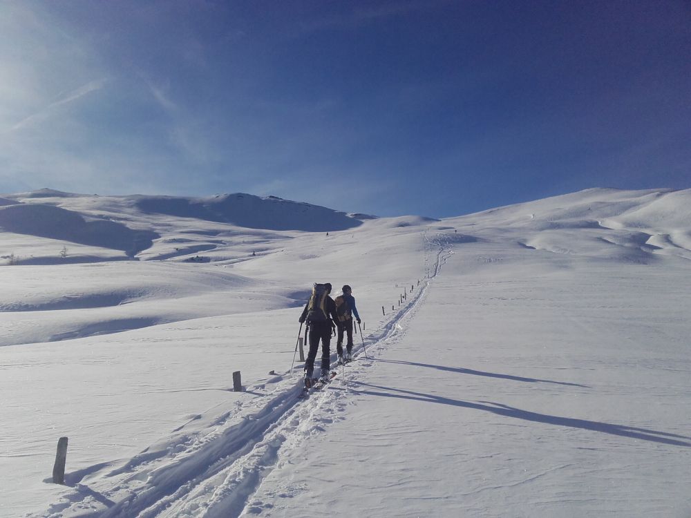
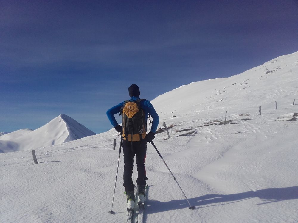
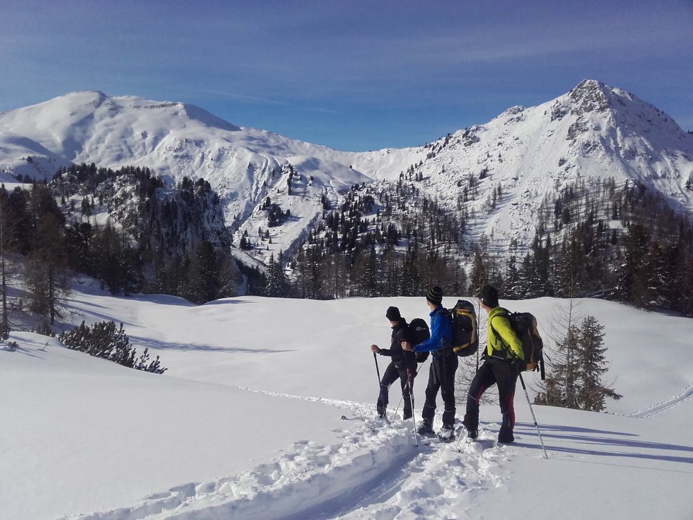
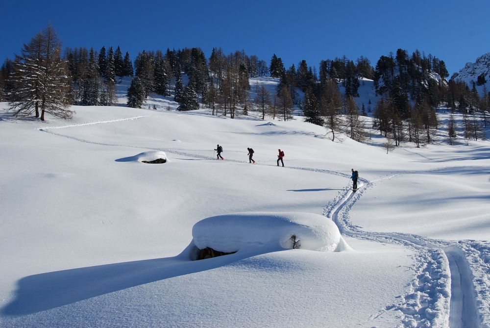
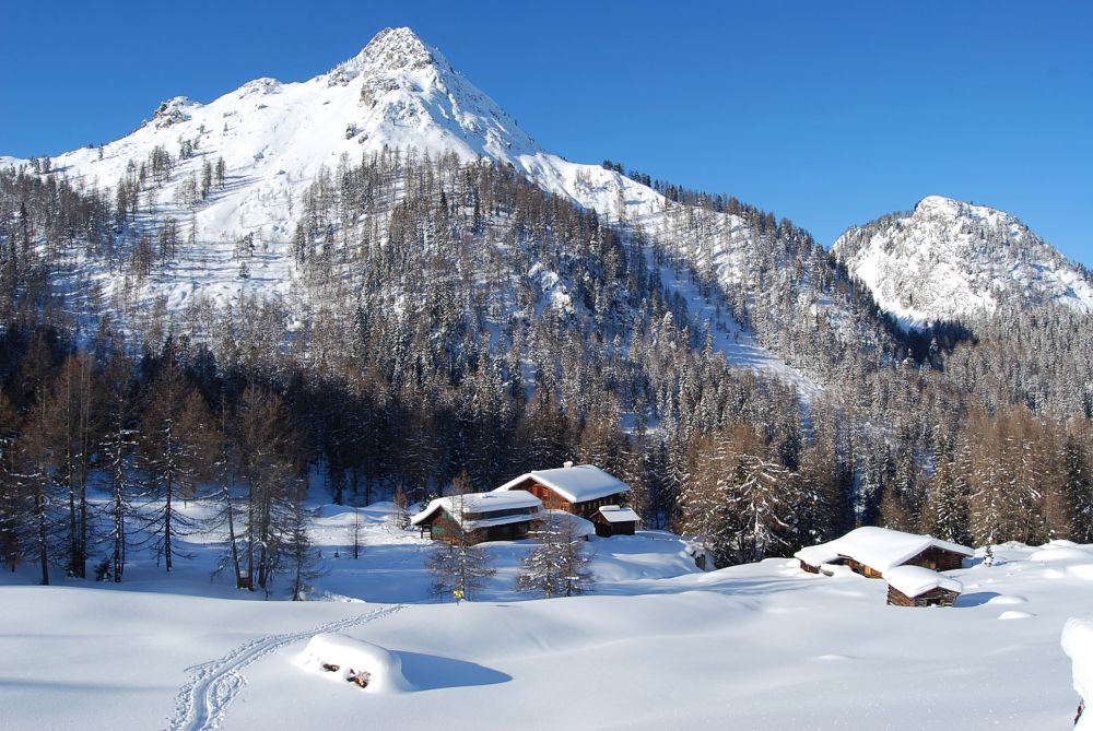
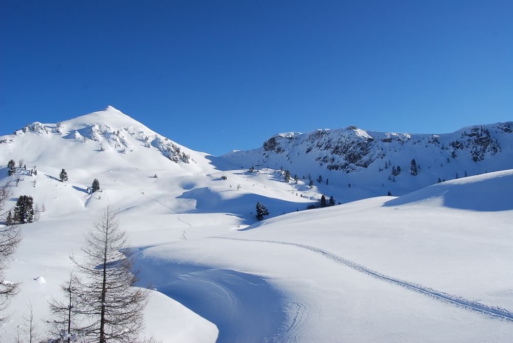
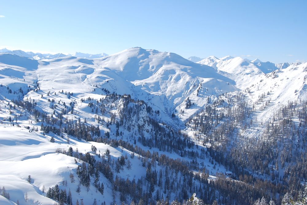
You go up from the parking space Grund or from the Klausbauern on the hiking trail or on the forest road to the Filzmoosalm, which is not managed in the winter. The Filzmoosalm area is situated in an untouched natural landscape. The broad alpine pastures and meadows are limited on the one hand by grassy mountains and on the other by the rugged limestone blocks of the Draugstein and the Grosser Schneibensteins.
The trail leads uphill and you passt many pine trees that are typical for the Ellmautal.
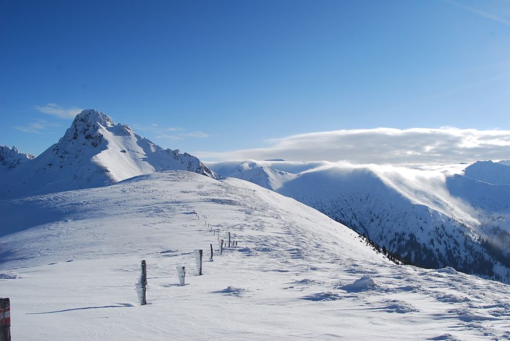
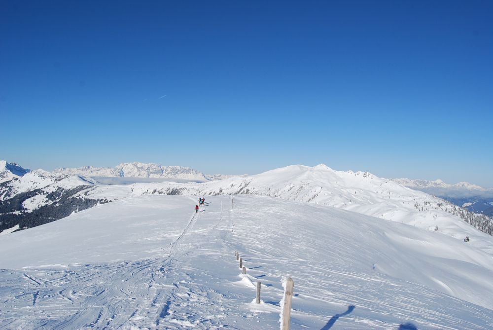
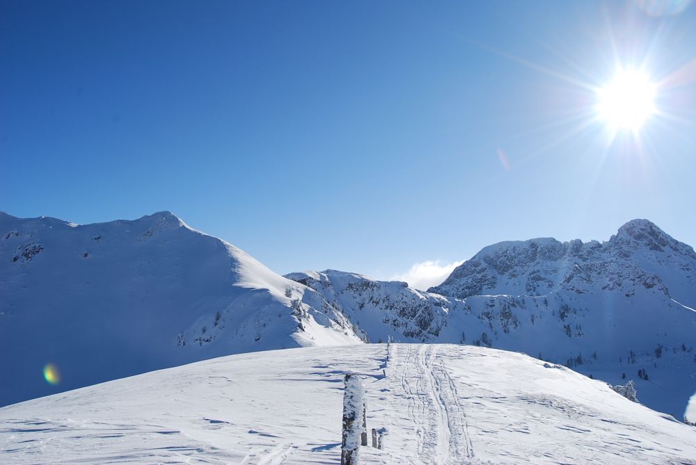
Ascent over a small plateau to the Filzmooshörndl. From here you have a beautiful view to the surrounding mountains - from the Hohe Ttauern to the Hochkönig, the Tennengebirge and the Hagengebirge as well as the Dachsteingebirge.
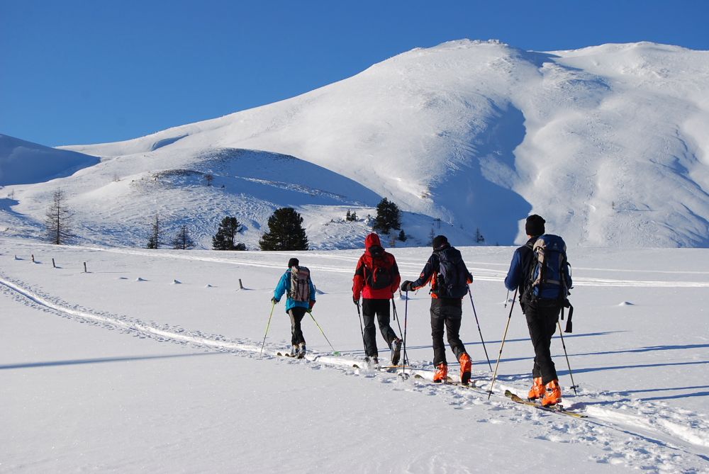
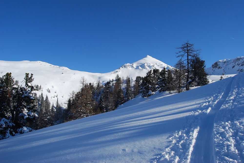
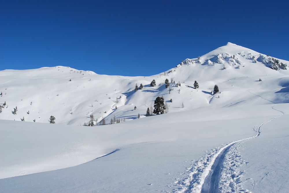
Along the ascent trail you have lots of descent possibilities. The tour to the Filzmooshörndl is a nice, moderate tour and is already suitable from December until April (sufficient snow is necessary). Also in case of not that good weather the tour is feasible.
This tour can also be combined with the Loosbühel. On the Filzmoosalm the skis are re-installed and the south-western trail to Loosbühel (1,984 m) are going up. Ascent from the Loosbühel to Loosbühelalm (consider the opening times). Otherwise you take the path from the Filzmoosalm downwards.
- Directions
-
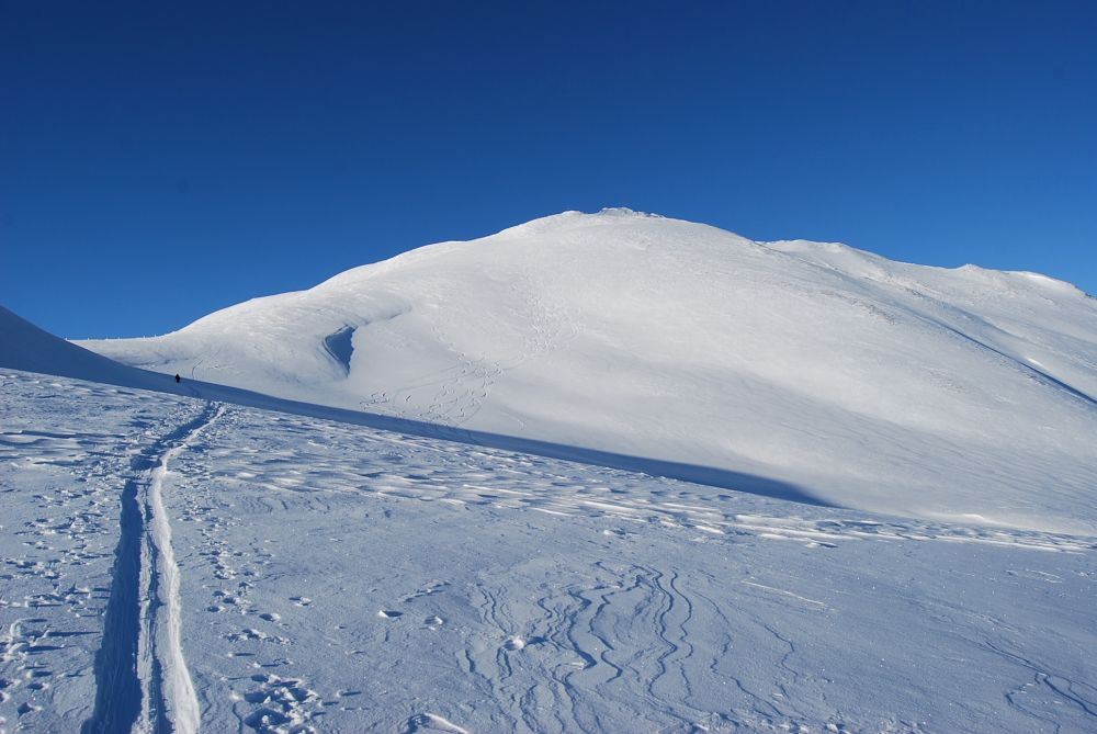
ASCENT: From Grundlehen the trail or the forest road to the Filzmoosalm, 1,710 m. You pass the mountain hut and go through a forest to a small plateau. In a straight line, you will reach the ridge in front of the summit. The summit of the Filzmooshörndl, 2,189 m (approx. 2 1/2 h), is finally reached via a moderately inclined summit ridge.
DESCENT: Along the ascent route there are lots of different possibilities (approx. 1 h).
- Highest point
- 2,170 m
- Endpoint
-
Filzmooshörndl
- Exposition
- Height profile
-

- Equipment
-
ski touring equipment, transponder, shove, probe, charged mobile phone
- Safety instructions
-
Observe the avalanche warning level!
- Tips
-
In combination with the Loosbühel, this tour is a nice day trip. Then you have the opportunity to enjoy a wonderful descent from Loosbühel to Loosbühelalm.
- Additional information
- Directions
-
You go by public bus or car from Grossarl to Ellmautal and further to Grundlehen.
- Public transportation
- Parking
-
parking space Grundlehen


- Author
-
The tour Grossarl: Filzmooshörndl (2,189 m) is used by outdooractive.com provided.


General info
-
Katschberg Lieser-Maltatal
262
-
Großarltal
191
-
Hüttschlag
66


 und den Kleinen (rechts daneben) Pleißlingkeil.")