- Brief description
-
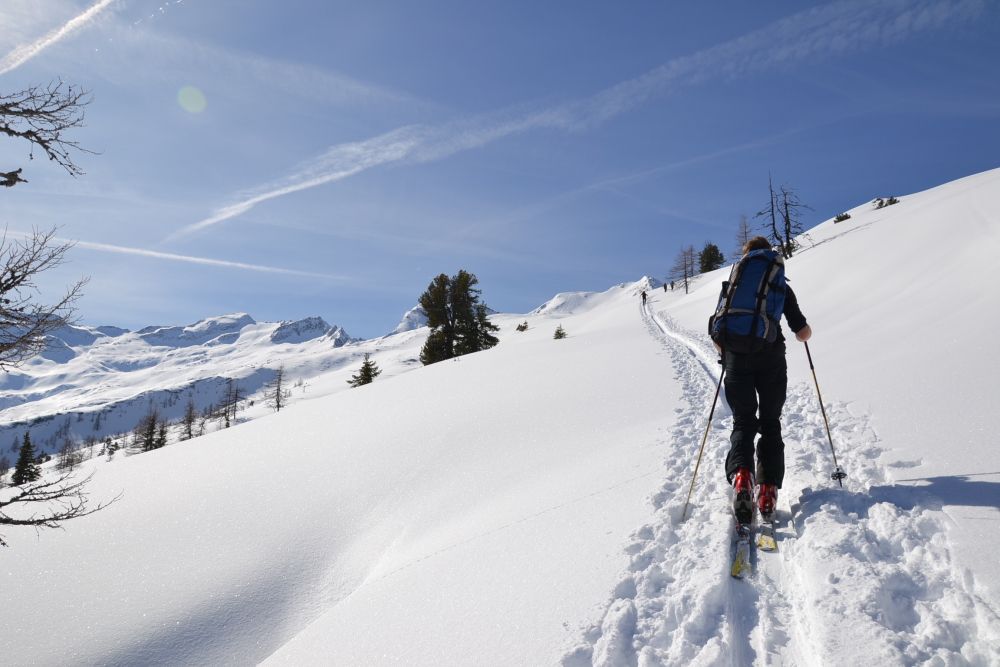
Skitour to the Mandlkogel, where power and condition are required.
- Difficulty
-
difficult
- Rating
-
- Route
-
Talwirt0.1 kmBauernladenstüberl0.1 kmPertillkapelle0.2 kmMandlkopf (2,439 m)5.0 kmPertillkapelle9.7 kmBauernladenstüberl9.8 kmTalwirt9.8 km
- Best season
-
AugSepOctNovDecJanFebMarAprMayJunJul
- Description
-
This ski tour starts at the parking space at the Gasthof Talwirt. Here and at Bauernladenstüberl Hüttschlag you will find local and self-made delicacies.
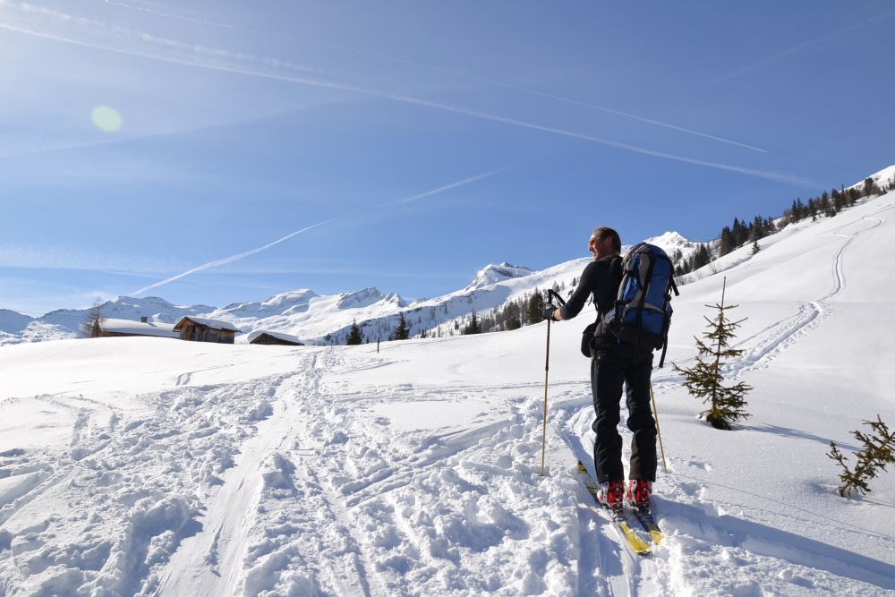
Right at the beginning you will pass the Pertillkapelle. The path leads relatively steep uphill. Through the "Geissmahdloch" you come to the Modereggalm (closed winter). Afterwards you continue more comfortable uphill to the Plattenkogel. Just below this mountain, you go left to plateau. From here, you go directly, but relatively steep, to the summit of the Mandlkogel. From here you have a beautiful view to the surrounding mountains. In particular you can see the Keeskogel, the highest mountain and the only glacier in Grossarltal.
For your descent, the slopes from the summit to the Modereggalm are particularly beautiful - especially if there is powder snow.
This tour is feasible from the pre-winter until spring, sufficient snow is therefore necessary. In case of bad weather this tour should not be done.
This tour is not suitable for beginners, since the trail in the area of the "Geissmahdloches" is often icy and is therefore very exhausting. Due to the "Geissmahdloch", this tour requires skills, strength and condition. This also necessary for the descent!
- Directions
-
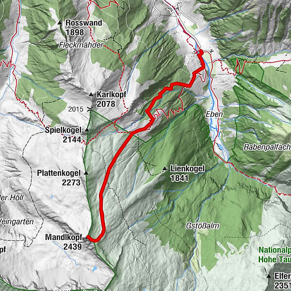
ASCENT: From the parking space at the Gasthof Talwirt you go in the direction to the Pertillbauer - at the chapel turn right along the meadow, then along the path to the so-called "Geissmahdloch" - a very steep and difficult part. After this part you turn left and pass the Modereggalm, 1,720 m. From here straight to the summit of the Plattenkogel, 2,273 m. Just before you reach the Plattenkogel, you go left to a plateau. Left to the ridge and straight to the Mandlkogel, 2,439 m. (approx. 4 - 4 1/2 h).
DESCENT: Along the descent route there a various possibilities (approx. 1 1/2 h).
- Highest point
- 2,422 m
- Endpoint
-
Mandlkogel
- Exposition
- Height profile
-

- Equipment
-
ski touring equipment, transponder, shove, probe, charged mobile phone
- Safety instructions
-
Observe the avalanche warning level!
This ski tour is due to the "Geissmahdloch" really exhausting. Skill and condition are required - this is also necessary for the descent.
- Tips
-
The slopes from the Plattenkogel to the Modereggalm are particularly beautiful - especially if there is powder snow.
- Additional information
- Directions
-
You go by car or public bus no. 540 to Hüttschlag and further to the valley end to Gasthof Talwirt.
- Public transportation
- Parking
-
parking space Gasthof Talwirt


- Author
-
The tour Hüttschlag: Mandlkogel (2,439 m) is used by outdooractive.com provided.