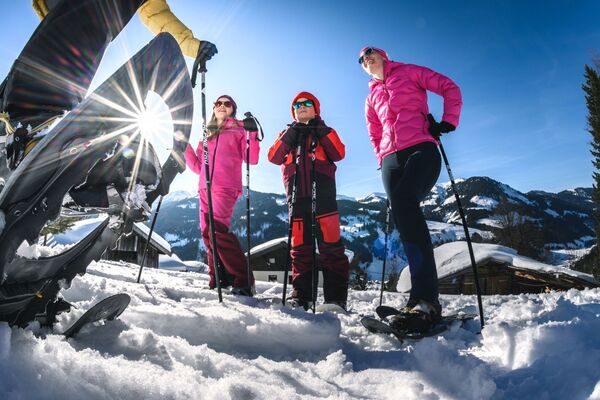
- Brief description
-
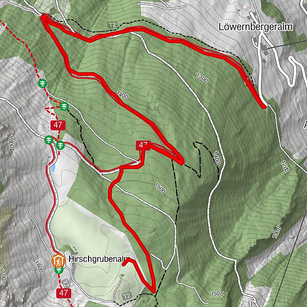
Snowshoe tour towards Hirschgrubenalm in Hüttschlag.
- Difficulty
-
easy
- Rating
-
- Starting point
-
Hüttschlag - parking possibility at the Oberneureit farm
- Best season
-
AugSepOctNovDecJanFebMarAprMayJunJul
- Description
-
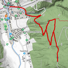
From the Oberneureit farm in Hüttschlag, you go uphill along the forestry road or along the short cuts through the forest towards the Hirschgrubenalm (closed in winter). The tour ends short bevor the Hirschgraben due to a protected area for deers.
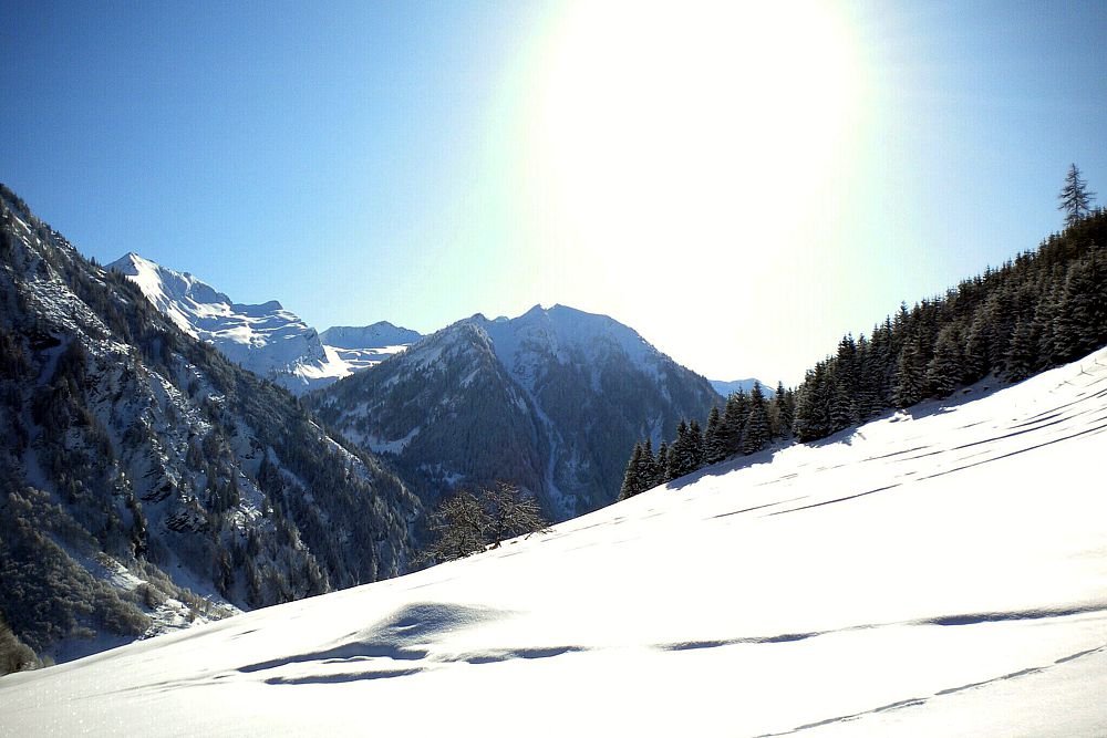
The Hirschgrubenalm is located within fantastic mountain landscape - back on the same path.
After the tour, you can take a break at the Aschaustüberl.
- Directions
-
From the parking possibility in front of the barriert near the Oberneureit farm, you go along the hiking trail (no. 47) in the direction to Hirschgrubenalm, 1,564 m (approx. 1 h - mostly there are already old ascent tracks). The tour ends short bevor the Hirschgraben due to a protected area for deers. Descend the same way back to the parking possibility.
- Highest point
- 1,561 m
- Endpoint
-
Short bevor the Hirschgrubenalm
- Height profile
-

- Equipment
-
snow shoes, good winter boots, warm clothes, transponder, shove, probe, charged mobile phone
- Safety instructions
-
Observe the avalanche warning level!
- Tips
-
After the tour a break at the Aschaustüberl is recommended.
- Additional information
- Directions
-
You go by car to Hüttschlag and further in direction to the valley end. After approx. 4 km you turn right (opposite the Aschaustüberl) and go up the Güterweg Oberneureit until the barrier.
- Public transportation
- Parking
-
parking possibility at the barrier at the Oberneureit farm
- Author
-
The tour Hüttschlag: Hirschgrubenalm is used by outdooractive.com provided.
GPS Downloads


Other tours in the regions