- Brief description
-
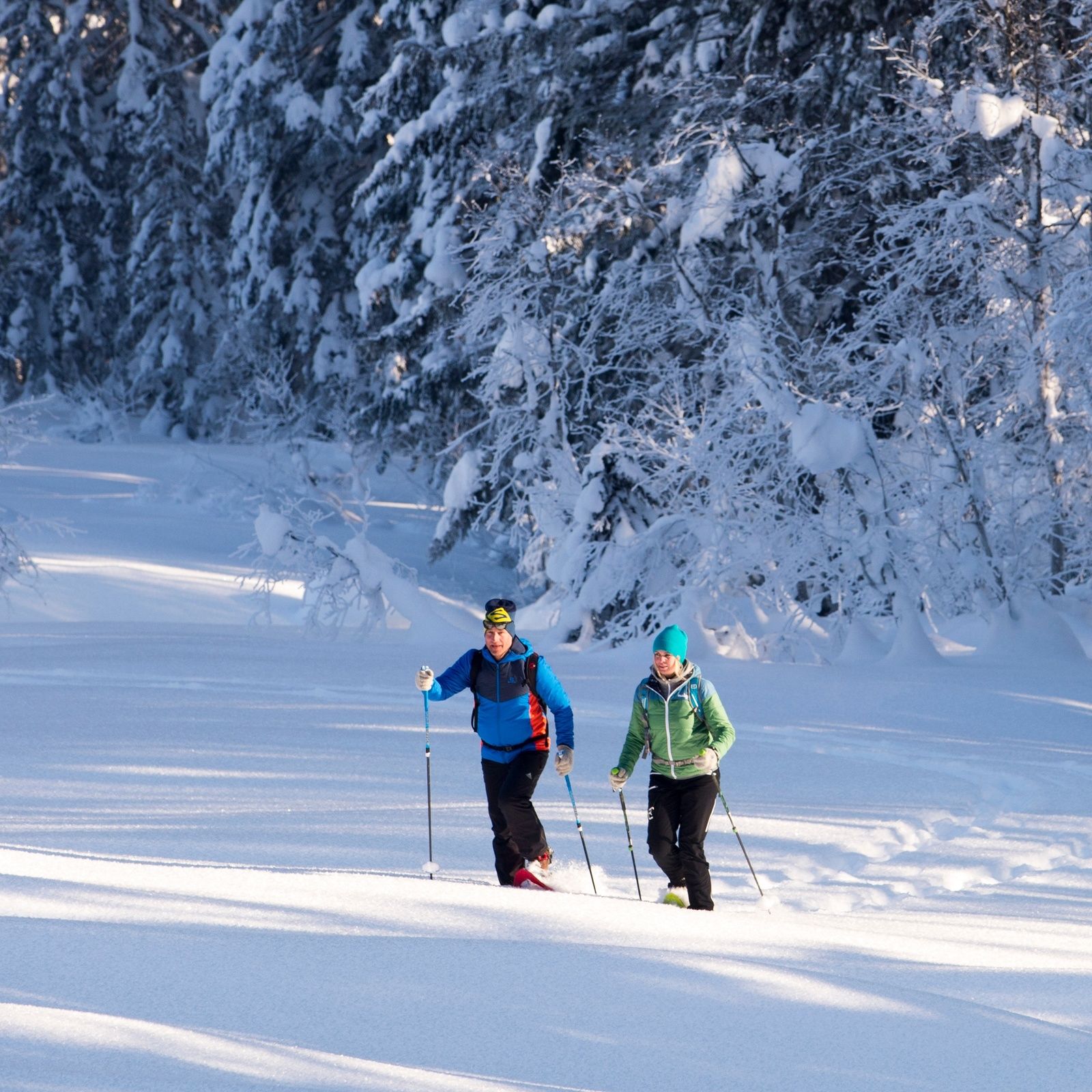
Snowshoe hike across Au and the Auer meadows
- Difficulty
-
medium
- Rating
-
- Starting point
-
Lofer - Tourist office
- Route
-
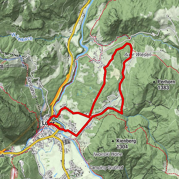
Pfarrkirche Hll Maria und Leonhard0.1 kmLofer0.1 kmKreuzkirche Lofer0.3 kmTeufelssteg0.5 kmBairau0.9 kmAu3.4 kmHubertuskapelle5.8 kmZass6.7 kmScheffsnoth7.7 kmSt. Hubertus8.7 kmLofer9.0 km
- Best season
-
AugSepOctNovDecJanFebMarAprMayJunJul
- Description
-
Snowshoe hike from Lofer via the Teufelssteg, Bairau and Wahpointweg to Au. From here we continue across the Au meadows towards the Hubertus Chapel, where we have a wonderful view of the Loferer Steinberge. We return via the Knappenstadl hiking trail, Scheffsnoth and the Hubertussteg to Lofer.
- Directions
-
Lofer - Teufelssteg - Bairau - Wahpointweg - Au - Auer Wiesn - Hubertuskapelle - Scheffsnoth - Hubertussteg - Lofer
- Highest point
- 828 m
- Endpoint
-
Lofer - Tourist office
- Height profile
-

- Equipment
-
Winter equipment, snowshoes, ...
- Tips
-
Please do not go on the cross-country ski trails and avoid the wildlife feeding areas!
- Directions
-
Coming from Salzburg: Along the B178 and before the bypass tunnel turn right towards Lofer. After approx. 1.5 km you will find the start of the tour directly at the tourist office next to the main road. Coming from St. Johann/T. and Saalfelden: Take the Salzburg exit at the roundabout in Lofer. After approx. 400 metres you will find the start of the tour directly at the tourist office next to the main road.
- Public transportation
- Parking
-
Free parking spaces at the large car park in Lofer
-

-
AuthorThe tour Snowshoe hike Auer Wiesen is used by outdooractive.com provided.