- Difficulty
-
difficult
- Rating
-
- Starting point
-
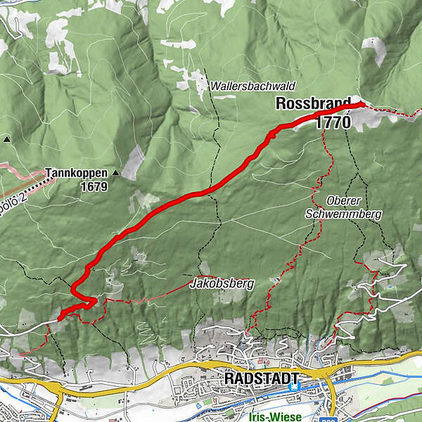
Starting point Koepfer-Reitlehenkehre, Schwemmberg
- Route
-
Radstädterhütte5.2 kmRossbrand (1,770 m)5.2 km
- Best season
-
AugSepOctNovDecJanFebMarAprMayJunJul
- Description
-
The impressive panoramic tour of the Rossbrand - the most beautiful panoramic mountain in the Eastern Alps - leads through the sunny forest ridge of the Schwemmberg recreation area. The tour runs from the Headerkehre starting point to the Habersatt snack bar and on to the Dachbrunnsattel. A wooded mountain trail leads to the Rossbrand.
- Highest point
- 1,765 m
- Endpoint
-
Rossbrand
- Height profile
-

- Equipment
-
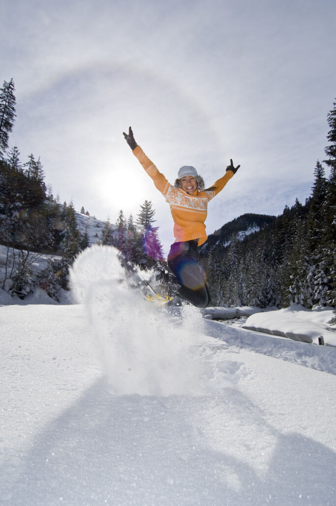
Snowshoes, sticks, good non-slip shoes
- Safety instructions
-
Observe signs
- Additional information
- Directions
-
Tauernautobahn A 10, exit Altenmarkt (EXIT 63), exit Altenmarkt West, along Oberndorfer Straße, turn left before the railway tracks, follow the signs for Reitlehenalm - Jausenstation Habersatt on Schwemmbergweg to the start at the Headserkehre
- Parking
-
Parking at the head bend
-

-
AuthorThe tour Rossbrand-Track is used by outdooractive.com provided.
GPS Downloads


General info
Refreshment stop
A lot of view
Other tours in the regions