


- Brief description
-
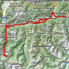
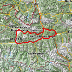
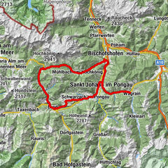
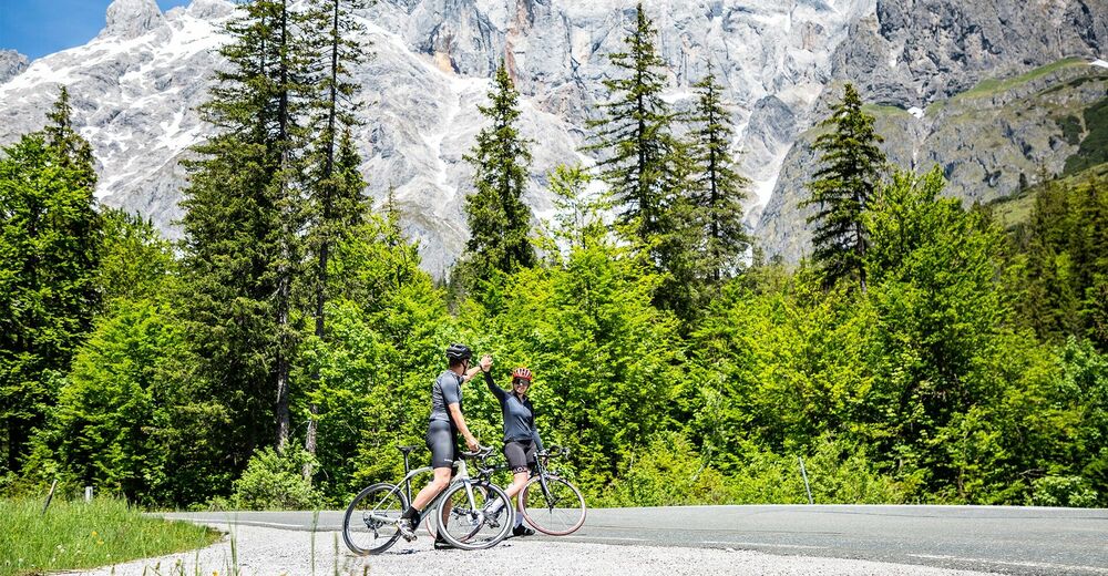
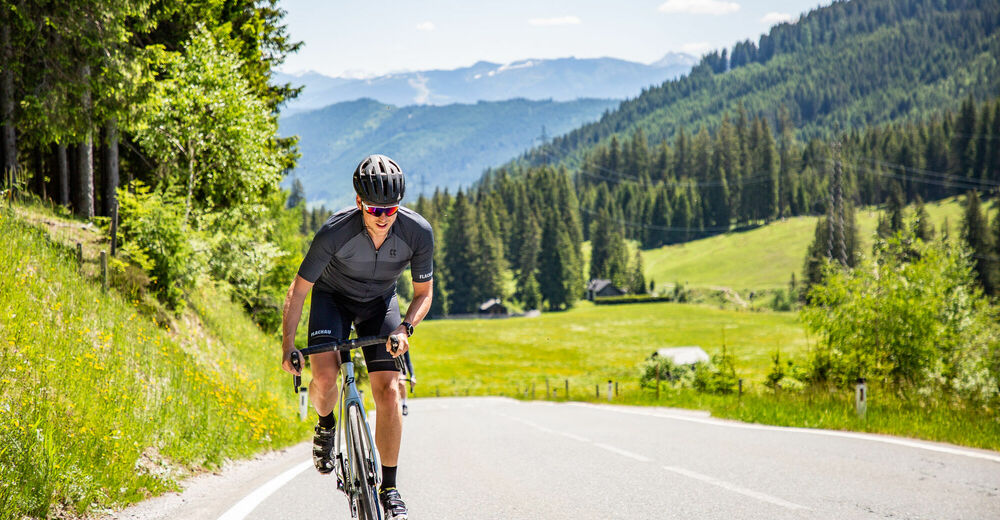
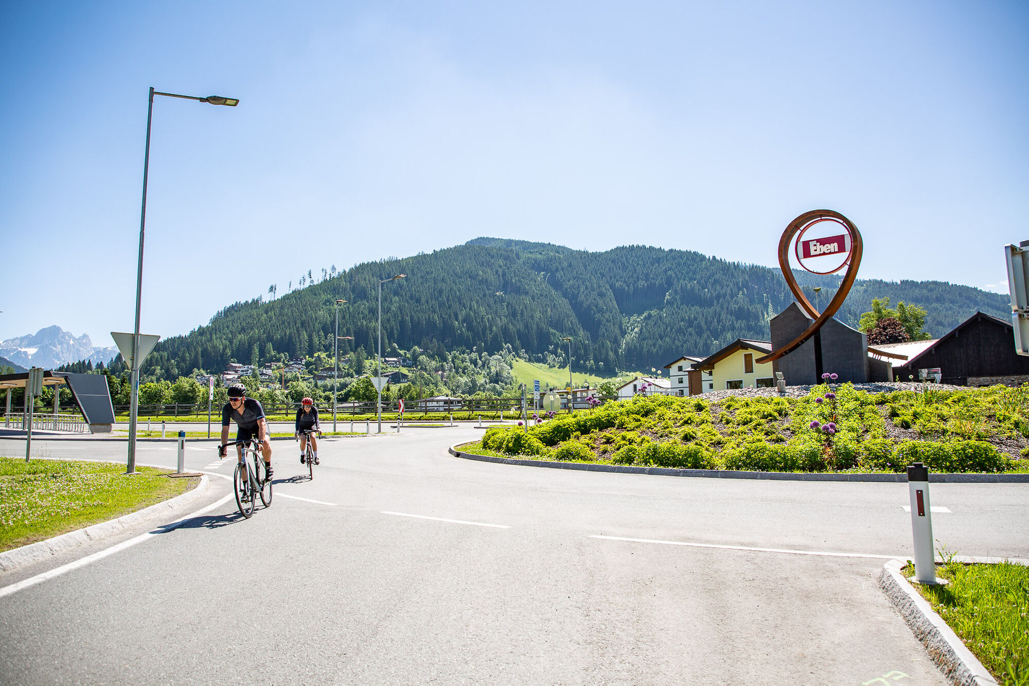
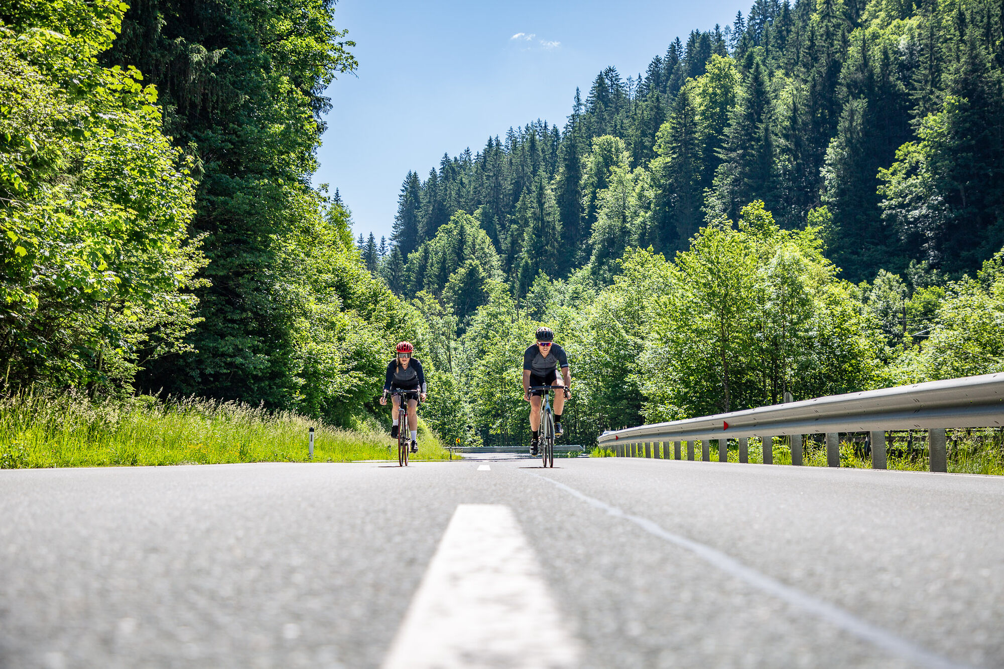
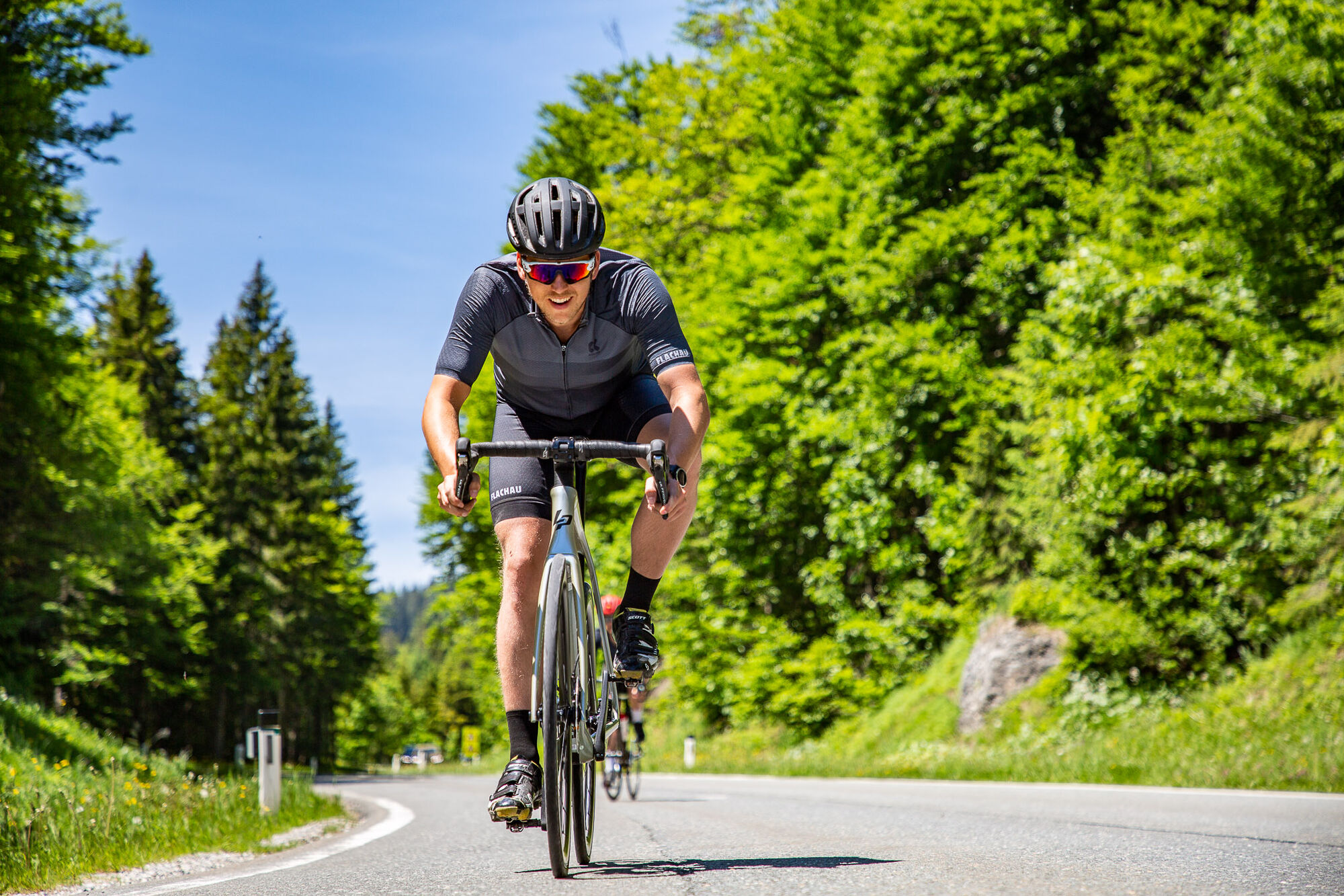
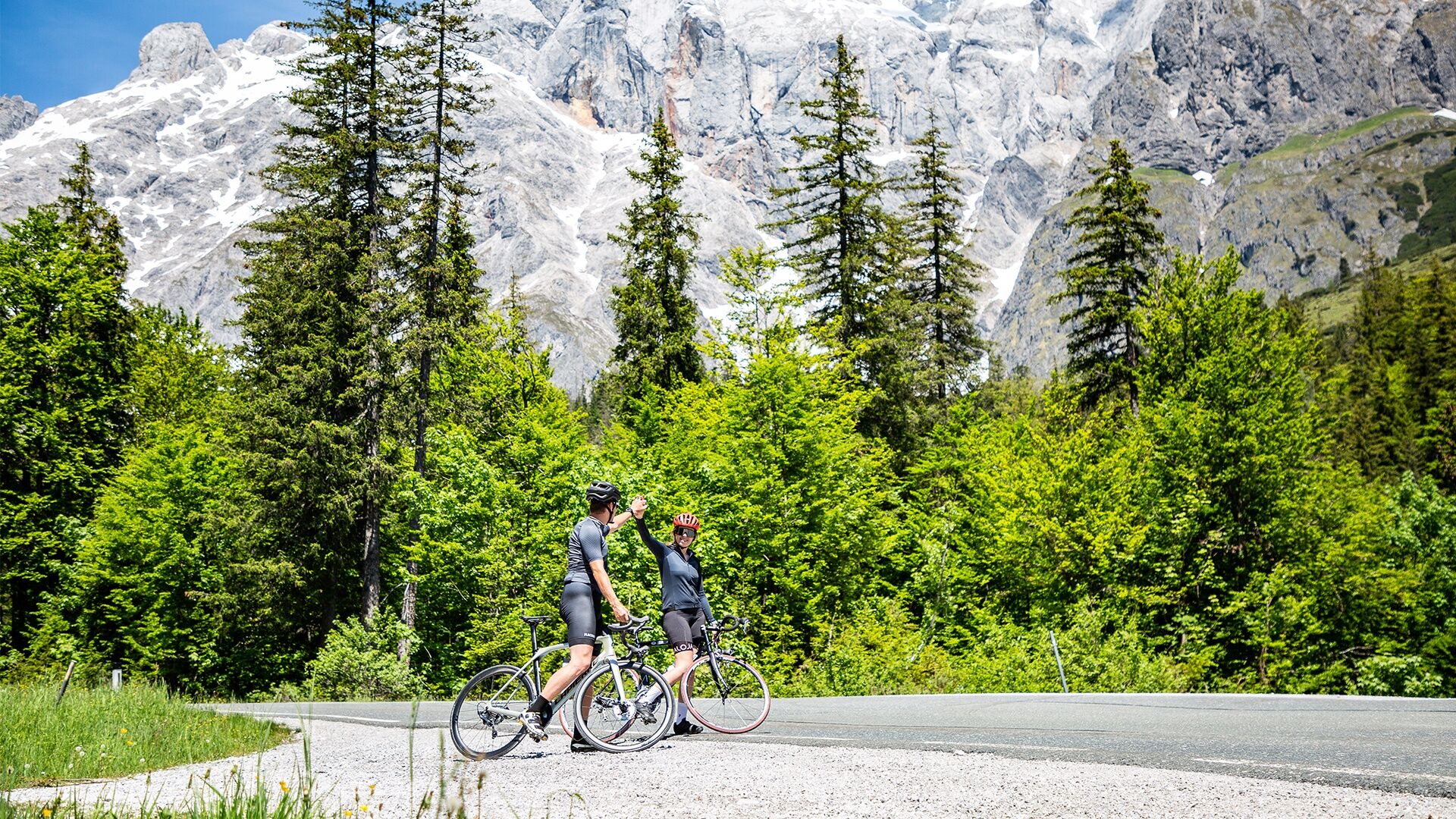
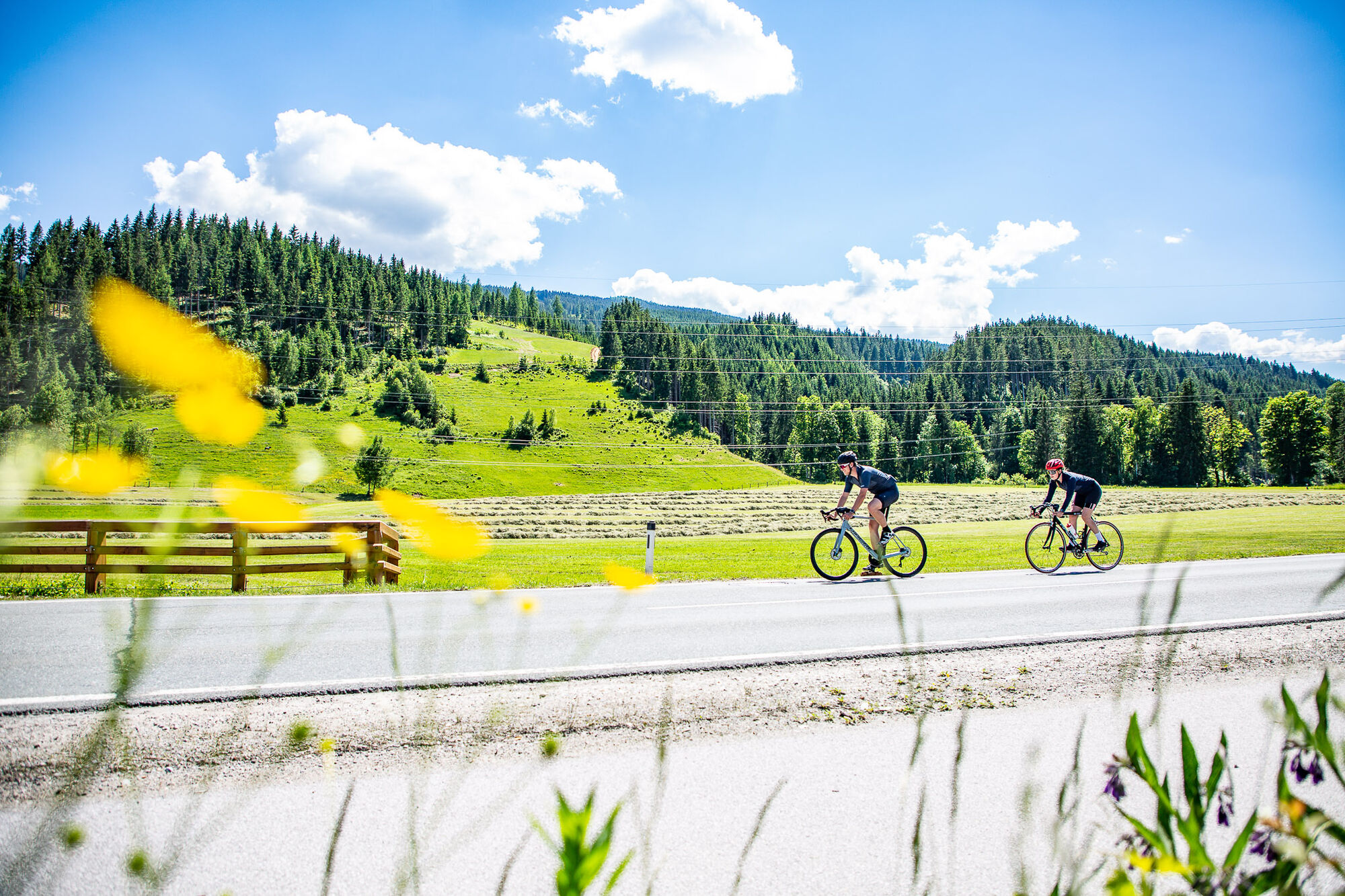
Roadbiketour with a very beautiful landscape along the route of about 100 kilometers and a long, partly steep ascent.
- Difficulty
-
difficult
- Rating
-
- Starting point
-
Tourist office Flachau
- Route
-
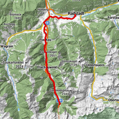
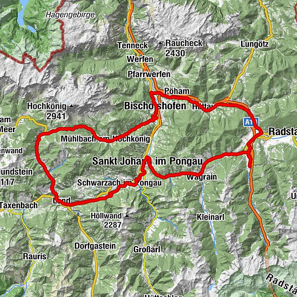
FlachauReitdorf3.4 kmSinnhub6.0 kmSchwaiger8.8 kmEben im Pongau8.8 kmSteiner's8.9 kmGasthof Ebnerwirt9.1 kmEben im Pongau9.3 kmImbiss Wieser9.7 kmGasthof Brunnhaeusl13.3 kmFritztalstube16.5 kmPostwirt "Darijo"16.6 kmHüttau16.7 kmPöham21.2 kmPöham21.3 kmBischofshofen27.4 kmBischofshofen27.6 kmPfarrkirche St. Maximillian27.9 kmMitterberghütten30.5 kmPfarrkirche zum hl. Sebastian38.4 kmMesnerhaus, Café, Bar & Restaurant38.4 kmAnderlwirt38.5 kmMühlbach am Hochkönig38.5 kmHöring38.5 kmBirgkarhaus44.8 kmMittereggalm44.9 kmKönig & Kuh46.9 kmHöfl-Zachhof48.5 kmBürglalm49.1 kmDienten am Hochkönig49.4 kmFischerstüberl52.6 kmSchattberg53.4 kmSonnberg53.6 kmLend61.0 kmBruderau61.1 kmKlamm63.8 kmOberuntersberg68.0 kmBräustüberl Schwarzach70.6 kmUrfahrgut70.6 kmSchwarzach im Pongau70.9 kmHub71.8 kmSt. Johann im Pongau77.6 kmPfarrkirche St. Johann79.6 kmSankt Johann im Pongau79.6 kmSankt Johann im Pongau79.7 kmEvang. Annakapelle79.8 kmGasthof Grubhöhe82.3 kmGoldanger87.8 kmFilalkirche Hl. Franziskus („Marktkirche“)88.2 kmMarkt88.2 kmWagrain88.5 kmWagrain88.7 kmHof89.3 kmMoos90.1 kmHubdörfl90.9 kmSchwaighof91.5 kmMoadörfl93.0 kmScharfettkapelle95.8 kmFeuersang96.3 kmFlachau98.8 km
- Best season
-
JanFebMarAprMayJunJulAugSepOctNovDec
- Description
-
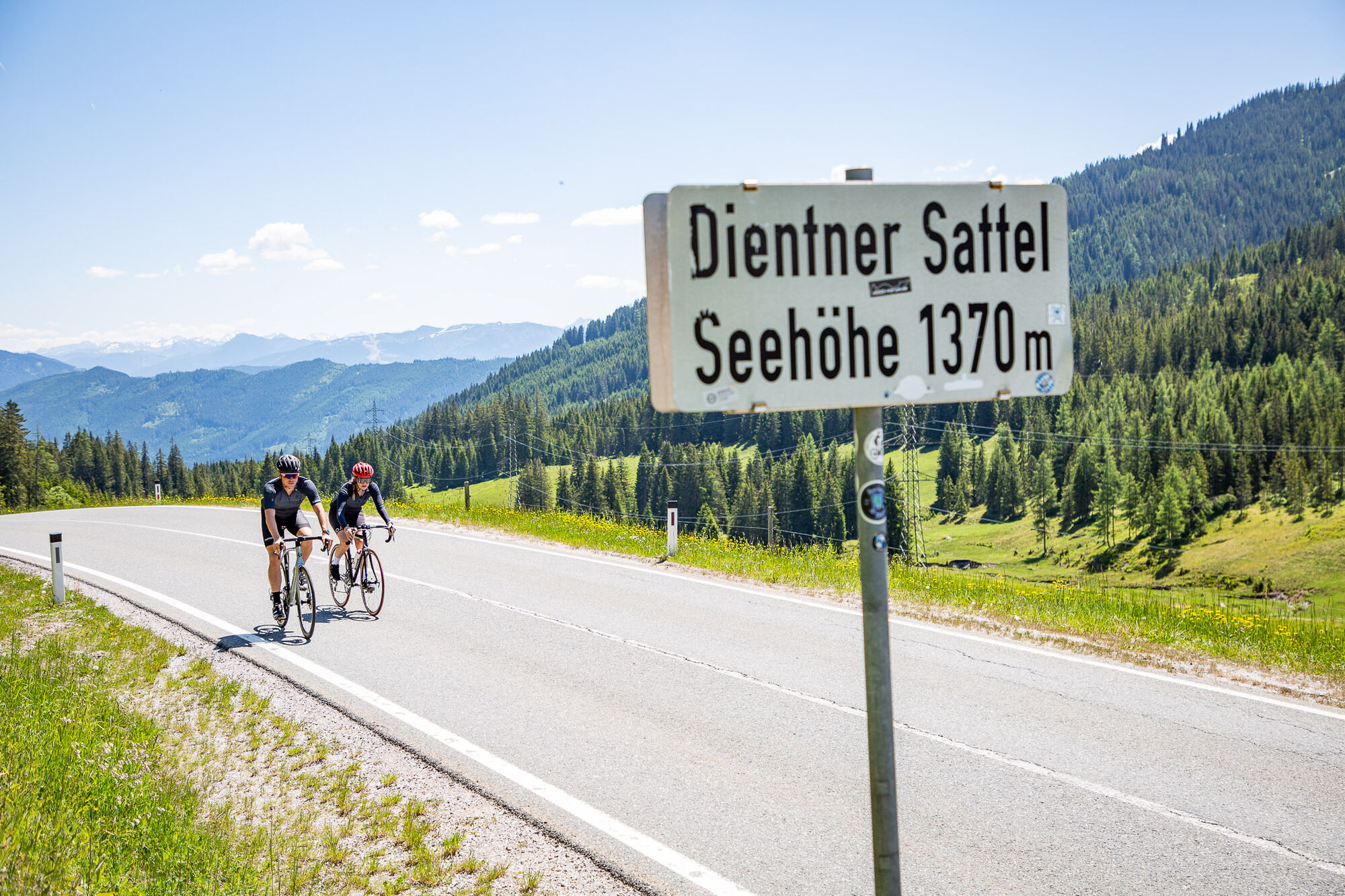
The "Dientener Sattel" is the highlight of this wonderful tour. Along the "Fritztal" it comes to Bischofshofen and Mühlbach am Hochkönig to Dientener Sattel. Return via Lend, Schwarzach, St. Johann and Wagrain to Flachau this tour will be unforgettable with the variety of slopes, great runs and an enchanting natural scenery.
- Directions
-
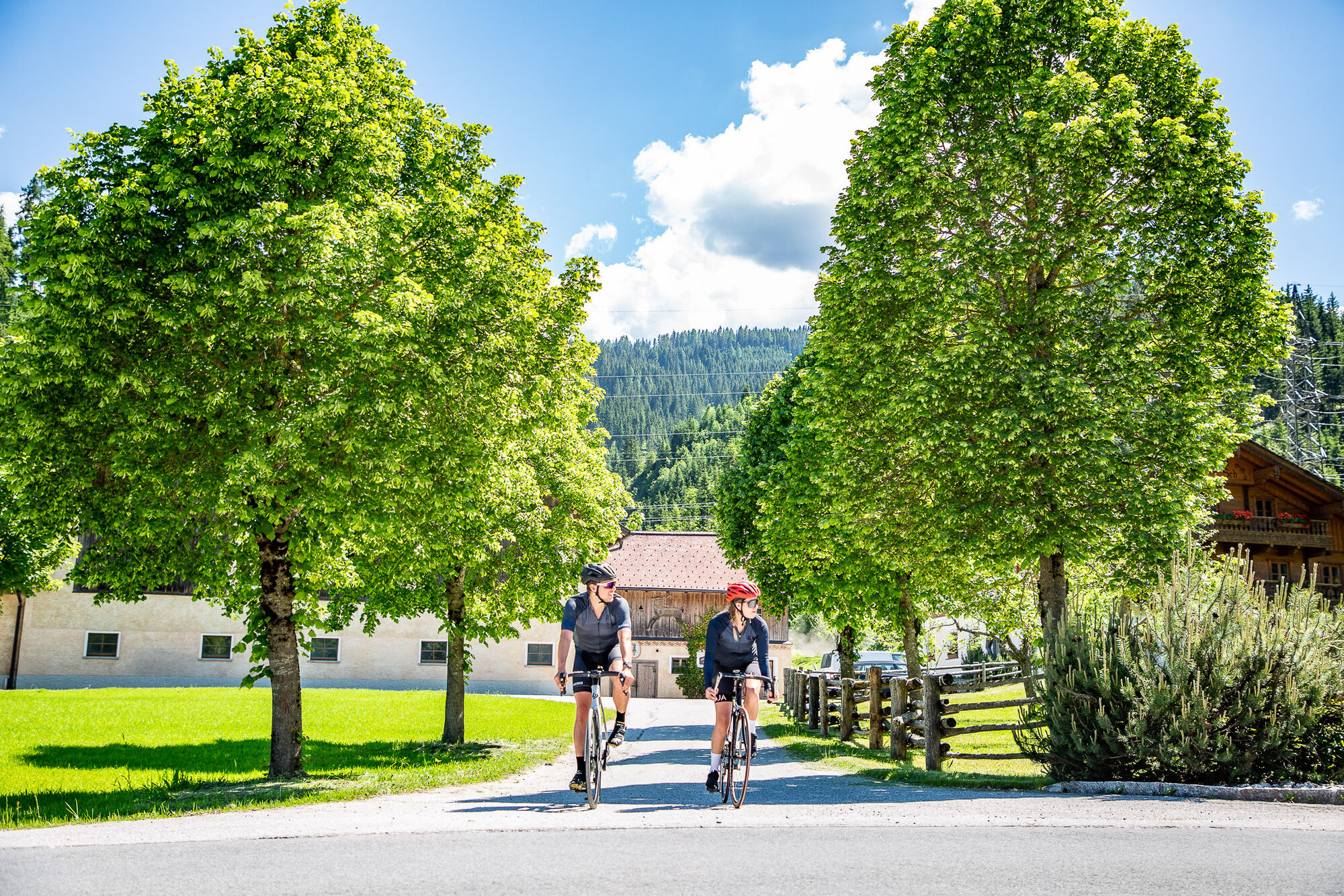
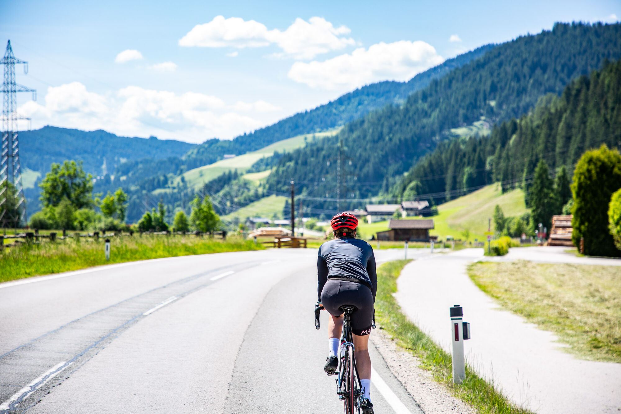
Start at the tourist office Flachau – follow the mainstreet in direction to the roundabout at the beginning of Flachau – straight on (2nd exit) into the Gemeindestraße to Reitdorf – after the municipal office turn right in direction to Altenmarkt – after the highway underground at km 5 turn left – pass the ski company Atomic and at the hotel Kesselgrub turn left – after the crossing turn left in direction to Eben – after you passed the center in Eben you follow the way through Niedernfritz and Hüttau (Fritztal) up to Bischofshofen – after you passed the center at the second roundabout you turn right in direction to Mühlbach am Hochkönig – follow the Hochkönigstraße to Mühlbach and on to the Dientner Sattel in direction to Dienten – before the town Dienten turn left in direction to Lend – in Lend turn left in direction to Schwarzach – go on to St. Johann and follow the federal road to Wagrain – constant rise up to Wagrain – in the center (next to the church) turn left in direction to Flachau – last short ascent on the way back to Flachau
- Highest point
- 1,368 m
- Endpoint
-
Mühlbach - Dienten - Schwarzach
- Height profile
-

- Equipment
-
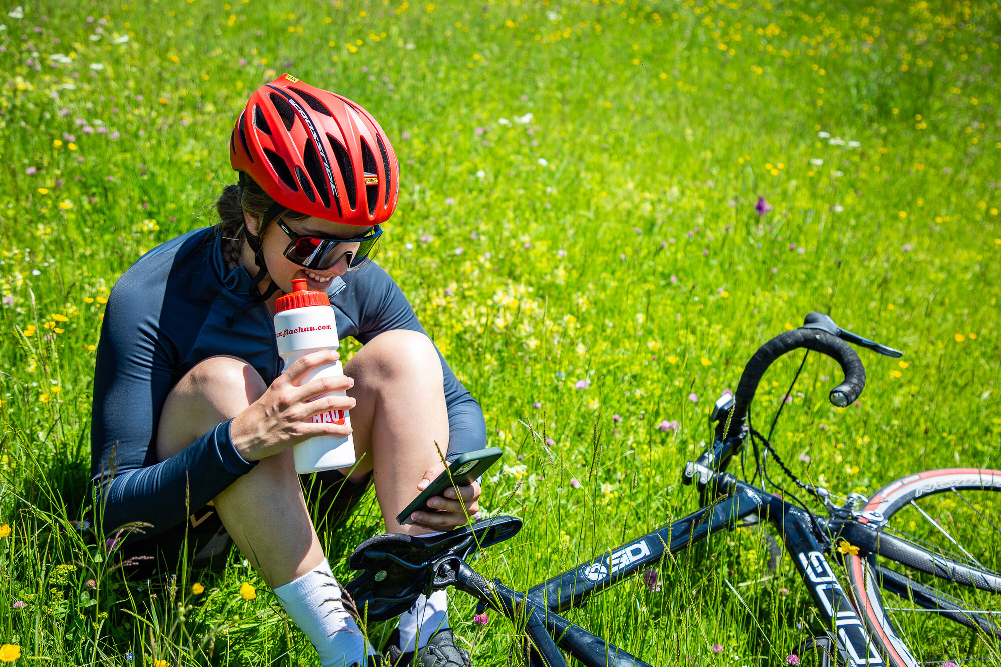
A basic equipment:
protective gear enough to drink and eat for inbetween sunglasses, optionally sun cream or rain cover mobile phone - Directions
-
to Flachau Center / Flachau Tourist Office
- Parking
-
Parking space near the starting point.


-

-
AuthorThe tour Mühlbach - Dienten - Schwarzach road bike tour is used by outdooractive.com provided.