

- Brief description
-
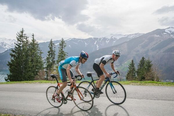
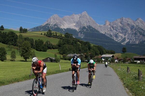
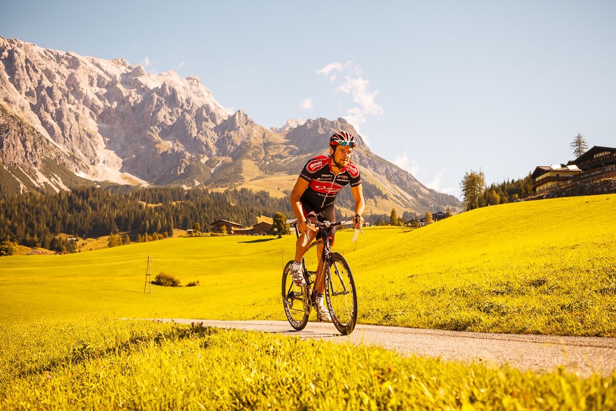
Beautiful round trip around the Leoganger and Loferer Steinberge. Watery with some lakes.
- Difficulty
-
difficult
- Rating
-
- Starting point
-
tourist information Maria Alm
- Route
-
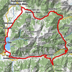
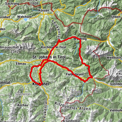
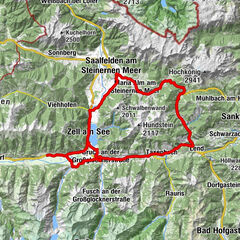
Wallfahrtskirche Maria AlmMaria Alm am Steinernen Meer0.2 kmRain3.2 kmFeichtenkapelle4.9 kmRamseiden4.9 kmSaalfelden am Steinernen Meer (748 m)6.4 kmSerbisch-orthodoxe Kirche6.9 kmObsmarkt7.0 kmPabing7.7 kmBachwinkl8.6 kmSchörhof10.4 kmMarzon10.5 kmHochseilgarten (707 m)13.6 kmHohlwegen13.7 kmKlettergarten "Bundesheer" (688 m)18.4 kmKlettergarten "Ami" (685 m)19.0 kmKlettergarten "Platte Unterm Dach" (683 m)19.3 kmFrohnwies21.4 kmOberweißbach21.8 kmUnterweißbach22.1 kmWeißbach bei Lofer22.2 kmGasthaus Lamprechtshöhle23.0 kmDürnberger25.8 kmObsthurn27.2 kmGasthaus zum Steinerwirt29.1 kmSankt Martin bei Lofer29.3 kmRestaurant Cafe Martinerhof29.4 kmGumping31.0 kmLofer31.8 kmPension Strub37.4 kmStrub37.4 kmUnterwasser40.5 kmWaidring42.2 kmGasthof zur Post42.3 kmHeiliger Vitus und Nikolaus42.3 kmSchneidermann42.3 kmSankt Adolari45.7 kmAdolariwirt45.7 kmSeerestaurant Blattl47.6 kmBrunneraukapelle48.4 kmSt. Ulrich am Pillersee49.0 kmAltwieben49.3 kmRestaurant Cafe Seewirt49.3 kmStrass50.4 kmStrasserwirt51.0 kmSchwendt52.6 kmGasthof Wiesenseehof56.0 kmHerz-Jesu-Kapelle56.0 kmTour Rast57.1 kmHochfilzen60.6 kmSeealm66.2 kmGrießen68.1 kmGrießner Sonnseite68.2 kmBerg70.5 kmGasthof Hüttwirt72.1 kmHütten72.1 kmMiners' Chapel of St. Anne72.2 kmAsitzbahn I72.8 kmLeogang76.3 kmRosental77.0 kmSinning78.3 kmOtting78.6 kmEcking79.9 kmWiesersberg80.8 kmLenzing81.3 kmEuring81.6 kmBachwinkl85.0 kmPabing86.2 kmObsmarkt87.1 kmSerbisch-orthodoxe Kirche87.7 kmSaalfelden am Steinernen Meer (748 m)88.0 kmRamseiden89.4 kmFeichtenkapelle89.6 kmRain91.2 kmMaria Alm am Steinernen Meer94.2 kmWallfahrtskirche Maria Alm94.5 km
- Best season
-
JanFebMarAprMayJunJulAugSepOctNovDec
- Description
-
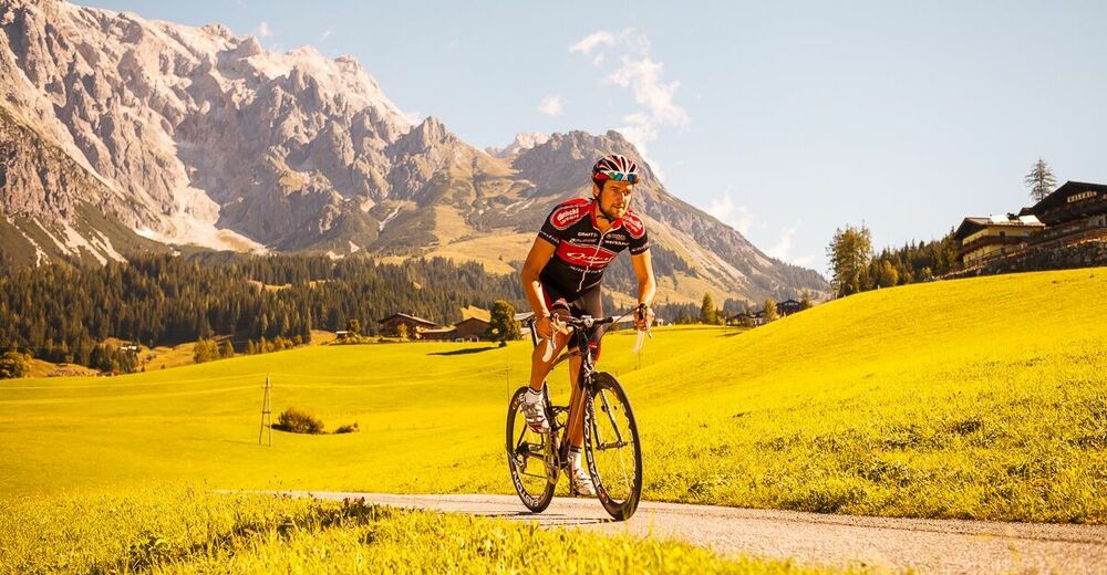
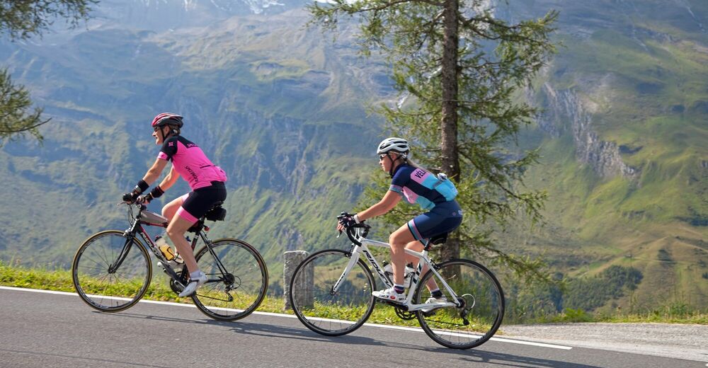
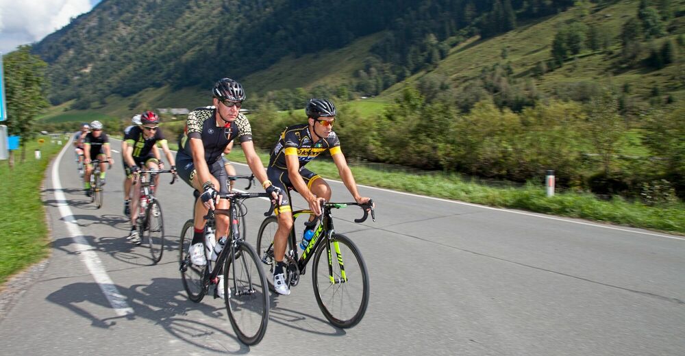
Circular tour with some highlights and swimming opportunities around the Leoganger and Loferer Steinberge. Full of variations with speed routes, but also winding approaches and descents. Rustic and traditional alpine huts and Austrian hospitality in cosy inns accompany the enduring cyclists.
- Directions
-
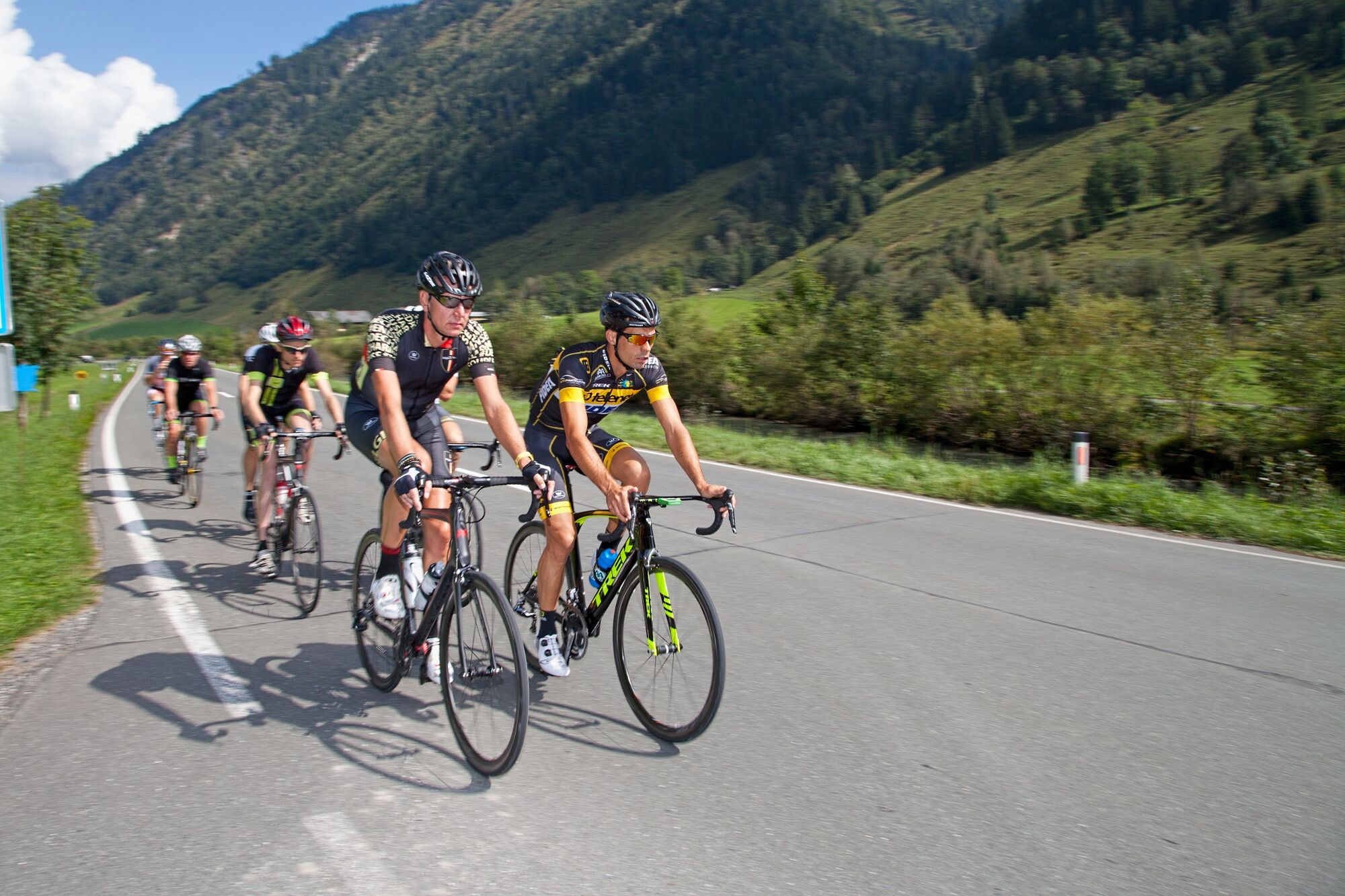
Start at the Maria Alm tourist office, head towards the fire station and along the cycle path to Almdorf, in Almdorf turn right and cross the Bunderstraße to Rain. Continue to Ramseiden to the barracks and follow the Tauern cycle path to Weissbach - good, asphalted cycle path - and Lofer. In Lofer, go through the town centre in the direction of Pass Strub (partly gravel). Alternatively, you can take the main road (attention: tunnel). Here we take the traffic-calmed road to the left of the main road to Waidring and left again towards Pillersee. Shortly after St. Ulrich keep in the direction of Schwendt. Then follow a beautiful road to the Wiesensee lake. From here we follow the cycle path to Hochfilzen. We pass the Grießensee lake and cycle down to Leogang and Saalfelden. Continue along the cycle path you have already ridden back to Maria Alm.
- Highest point
- 985 m
- Endpoint
-
tourist information Maria Alm
- Height profile
-

- Equipment
-
Controlled bike equipment with helmet
Sunglasses
Sun protection
Rain protection
Drinks and a snack
Necessary medication
First aid kit
Bike map - Safety instructions
- Tips
-
Refreshment tips: St. Adolarie (inn) and Seealm (coffee and cake)
Important spare material: tools, spare tube - Additional information
- Directions
-
Coming from Salzburg: Take the A10 motorway to the Bischofshofen exit, then take the B311 towards Bischofshofen. Follow the Hochkönig Bundesstraße/B164 to Maria Alm.
Coming from Innsbruck/ Kufstein: Take the Loferer Straße/B178 in the direction of St. Johann i.T., then follow the Hochkönig Bundesstraße/B164 via Saalfelden to Maria Alm.
A valid vignette is required to use the Austrian motorway and motorway network. It is also compulsory to carry a first-aid kit, warning triangle and high-visibility waistcoat. Further information can be found under Asfinag. - Public transportation
- Parking
-
Free parking at the beginning of the village and in the center of Maria Alm


- Author
-
The tour Steinberground is used by outdooractive.com provided.