Flachau - Freizeit- & Wildpark Untertauern - E-Trekkingbike (14)


- Difficulty
-
medium
- Rating
-
- Starting point
-
Flachau Tourist Info
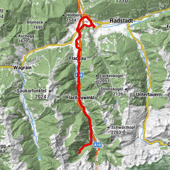
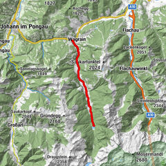
- Route
-
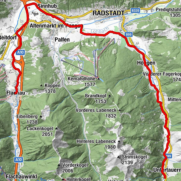
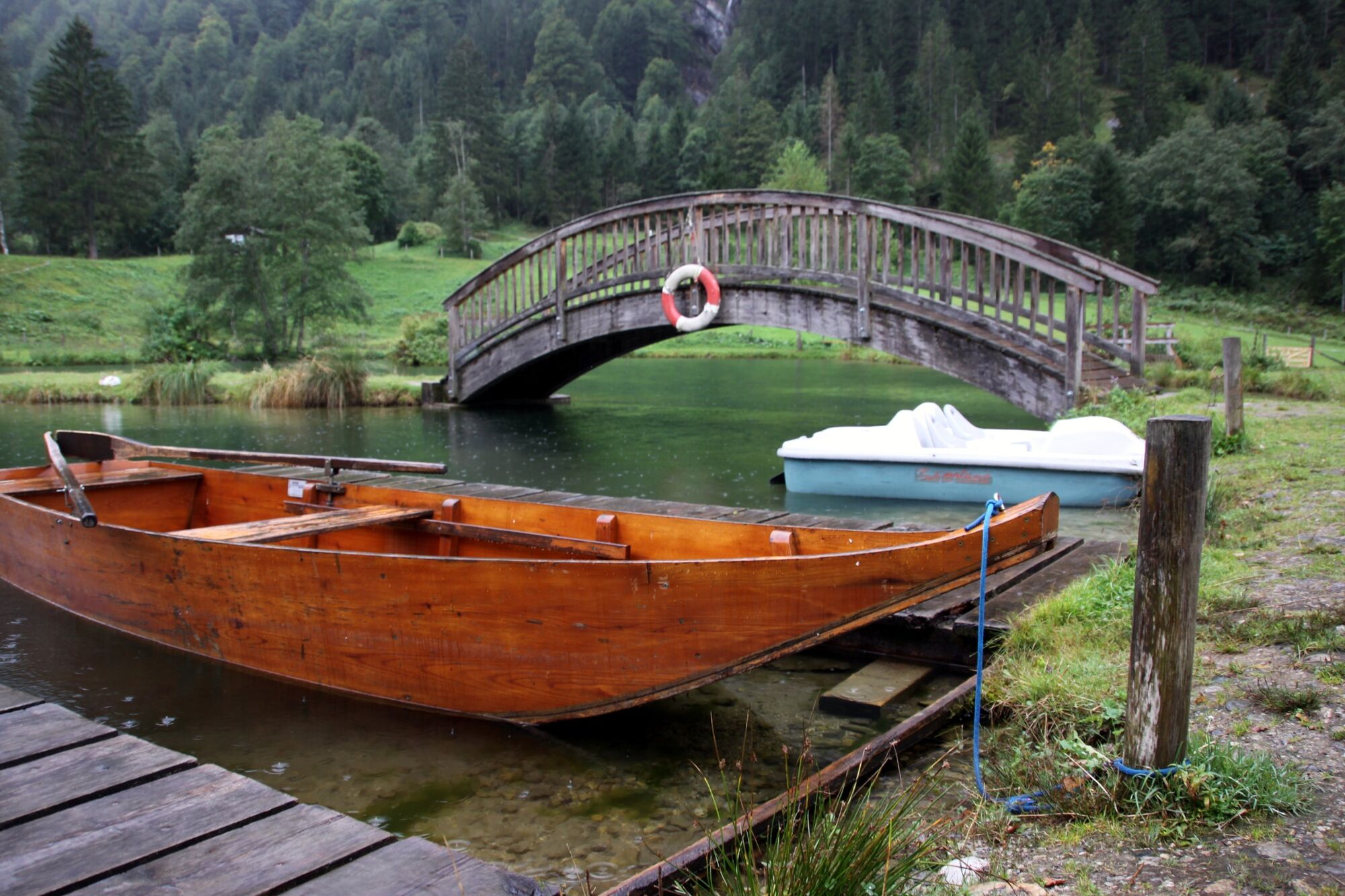
FlachauSinnhub7.3 kmAltenmarkt im Pongau8.8 kmKrallinger8.9 kmRadstadt (858 m)12.0 kmJOSEF's Das Restaurant12.1 kmHöggen15.1 kmUntertauern22.7 kmFischerhütte22.7 km
- Best season
-
JanFebMarAprMayJunJulAugSepOctNovDec
- Description
-
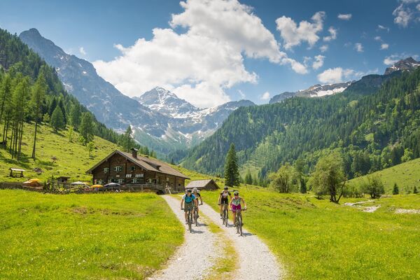
With an area of about 11 hectares, the game reserve is home to around 40 animals. Children will be in their element at the advendture land with a fishing pond, swings, slide and various animals such as rabbits, goats and lamas, as well as a bathing lake to enjoy.
E-Bike charging station direct at the Tourist Info Flachau, Restaurant Alter Jagdhof, Restaurant Paularei and City square Radstadt.
- Directions
-
Flachau Tourism - cross the bridge - after the bridge left side along the bike path to the sport center - at the crossing straight ahead along the bike path to the street "Gemeindestraße" and gallery "Vogelmühle" - turn right and go on along the river Enns in direction Altenmarkt/Radstadt - leave at the castle "Tandalier" the Ennsradweg and go on along the "Römerstraße" in direction to Radstadt - before the hotel "Zum jungen Römer" turn right at the crossing "Weißenhof" to the way Taxerweg - after the hotel "Taxerhof" you come back to the main road Tauernstraße - from here follow the River Taurach to Wildpark Untertauern - same way back to Flachau
- Highest point
- 999 m
- Endpoint
-
Freizeit- & Wildpark Untertauern
- Height profile
-

- Equipment
-
For your own safety, wearing a helmet is recommended.
- Tips
-
At the tourist info Flachau you get a bike map with information to this tour.
- Directions
-
to Flachau Center / Flachau Tourist Office
- Parking
-
Parking space near the starting point
-

-
AuthorThe tour Flachau - Freizeit- & Wildpark Untertauern - E-Trekkingbike (14) is used by outdooractive.com provided.


General info
-
Schladming - Dachstein
205
-
Salzburger Sportwelt
228
-
Radstadt
143