


- Brief description
-
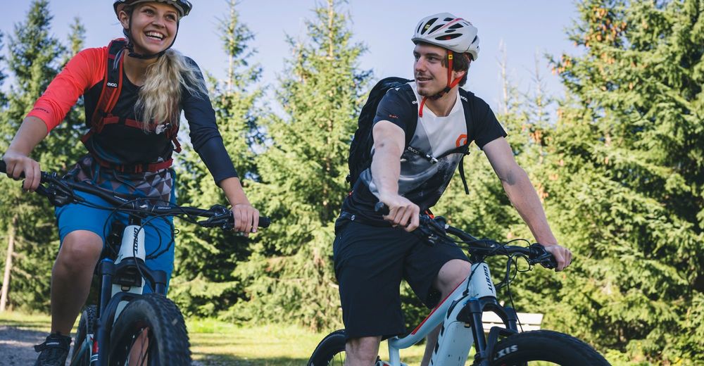
Mountain bike, eMTB or road bike?
The main thing is on two wheels.
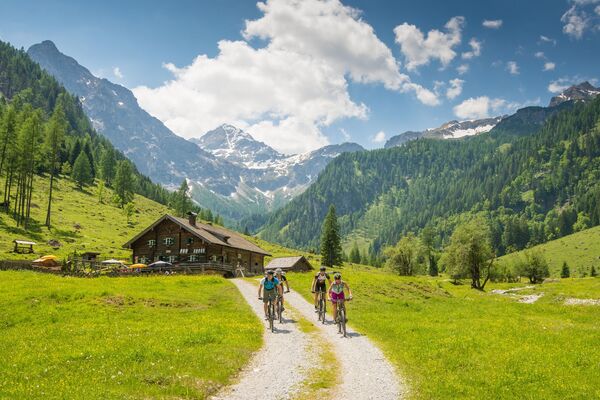
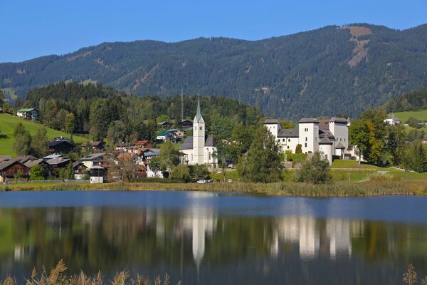
Demanding, challenging and therefore a true El Dorado for mountain bikers, road bikers and eBikers. This is the mountain landscape of the Hochkönig!
- Difficulty
-
difficult
- Rating
-
- Starting point
-
center of Mühlbach
- Route
-
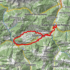
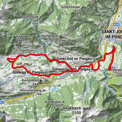
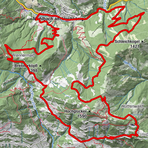
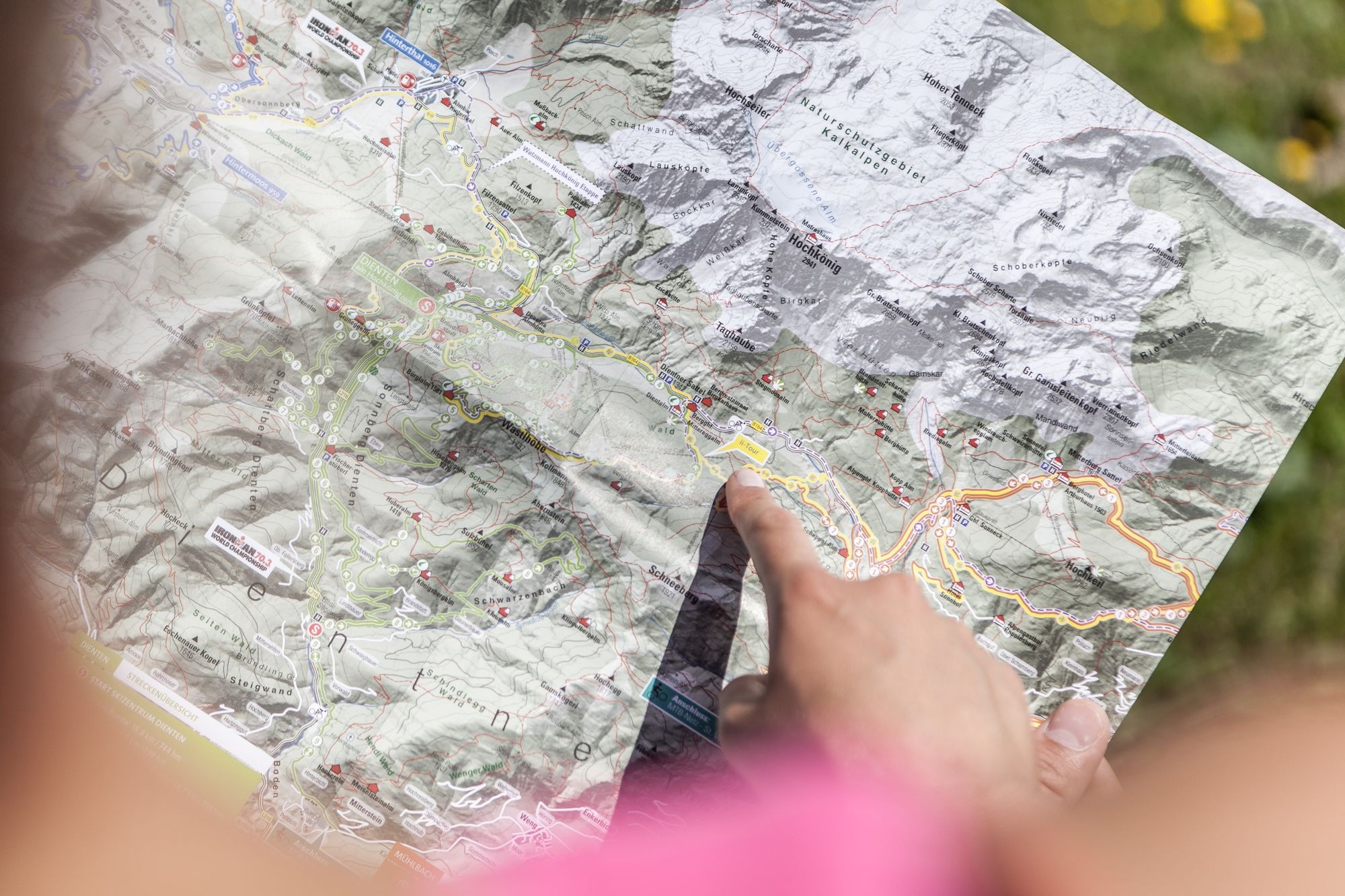
Mühlbach am HochkönigPfarrkirche zum hl. SebastianMesnerhaus, Café, Bar & RestaurantAnderlwirt0.0 kmHöring0.0 kmSchlöglberg1.4 kmAlthausalm8.7 kmAlthaussattel9.0 kmKreisten9.6 kmHubertuskapelle9.6 kmFadlsteinkapelle10.3 kmOberlehen10.5 kmPronebenalm21.0 kmMühlbach am Hochkönig29.8 km
- Best season
-
JanFebMarAprMayJunJulAugSepOctNovDec
- Description
-
Level of difficulty: DIFFICULT
length over 40km / ascent over 1000hm / duration over 4h
An extreme incline must be expected, good to very good conditional abilities and regular training is successful.
- Directions
-
From the center of Mühlbach (eMTB gas station at the Bäckerei - Konditorei - Cafe Bauer) you cycle along the main road (B164) in the direction of Dienten. After about 900 m turn left to the Schlögelberg. You are now - in the opposite direction of travel - on the "Proneben-Runde". Drive over the Althaus Sattel to the Hubertuskabelle in the direction of St.Veit. After approx. 2.5 km turn left along the "Pichl" road in the direction of Hochglocker. Keep left at the fork (path no. 79), follow the "Proneben-Runde" (round trip) in the opposite direction directly to the Pronebenalm and continue to the "Bliem" road. Turn left at the main road (B164) back to the center of Mühlbach.
- Highest point
- 1,519 m
- Endpoint
-
center of Mühlbach
- Height profile
-

- Equipment
-
Bike & eMTB rental, sale, service & repair:
Mühlbach BK Bike +43 664 13 19 005
- Safety instructions
-
Bike-Fairplay:
Fahre nur auf gekennzeichneten Wegen! halte die Straßenverkehrsordung ein! Überhole nur im Schritttempo! Verhalte dich respektvoll gegenüber anderen NaturnutzerInnen! und dem Forst- und Jagdpersonal! Nimm Rücksicht auf Tiere! Hinterlasse keine Abfälle in der Natur! Handle verantwortungsvoll! Benütze die Strecken nur innerhalb des erlaubten Zeitraums!März bzw. Oktober von 9:00 - 17:00Uhr
April bzw. September von 8:00 - 18:00Uhr
Mai bis August von 7:00 - 19:00Uhr
- Tips
-
Nice and challenging bike tour, with a detour to our neighboring village St. Veit!
- Additional information
- Directions
-
Coming from Salzburg: Take the A10 freeway to the Bischofshofen exit, then take the B311 in the direction of Bischofshofen. Follow the Hochkönig federal road/B164 to Mühlbach.
Coming from Innsbruck/ Kufstein: On the Loferer Straße/B178 towards St. Johann i.T., then on the Hochkönig Bundesstraße/B164 via Saalfelden and Maria Alm to Mühlbach.
- Public transportation
- Parking
-
Parking opposite the fire department.


- Author
-
The tour e-Bike Tour - Great St. Veit round (Tour 2) is used by outdooractive.com provided.