© Verbund - MAXUM

© VERBUND
- Brief description
-
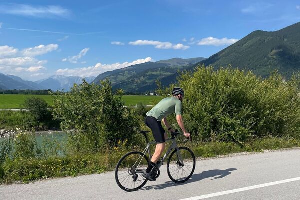
A popular adventure bike tour for pleasure bikers!
- Difficulty
-
easy
- Rating
-
- Starting point
-
MK Maiskogelbahn
- Route
-
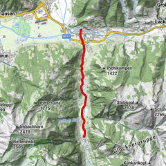
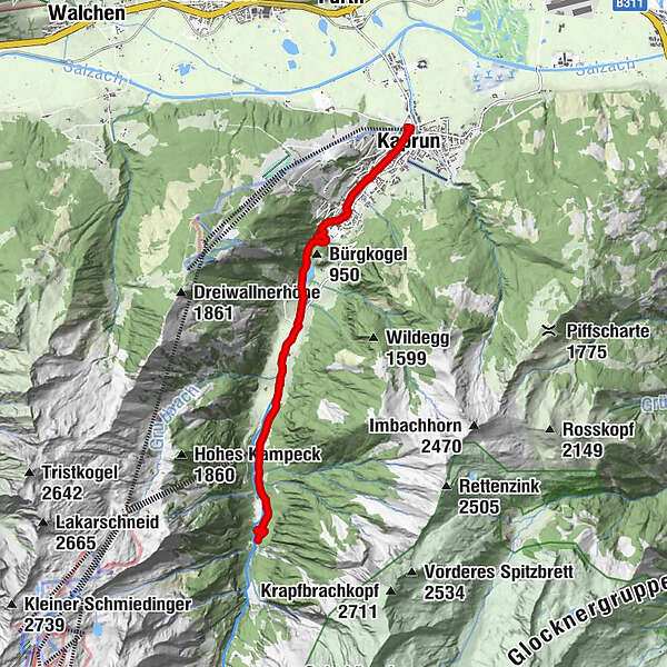
Kaprun0.3 kmWerkssiedlung2.1 kmkitz900m6.2 kmKesselfall Alpenhaus8.0 km
- Best season
-
JanFebMarAprMayJunJulAugSepOctNovDec
- Description
-
The perfect bike tour for an eventful family day. Past the Sigmund-Thun gorge, which invites you to visit and along the mystic situated gorge lake to the Alpenhaus Kesselfall. Here you can change from bike to bus and explore the world of the high mountain reservoirs Kaprun.
- Directions
-
From the valley station of the MK Maiskogelbahn cable car follow the cycle path through the tunnel, along the Wiesenweg to the Pichelbrücke bridge and further to the Nindlbrücke bridge. Turn left into Nikolaus Gassner Straße road and cycle past Gasthof Zur Mühle and Hotel Falkenstein. From the crossroads, follow Kesselfallstraße road to Villa Burg and turn into Klammweg. Now cycle uphill, over the Belinsky bridge and past the Sigmund Thun gorge to the Klammsee lake and along the Uferstraße to the Aubrücke bridge. Cross the bridge and follow the cycle path leading into the valley on the right, past the glacier cable car, to Alpenhaus Kesselfall at 1,034 m above sea level.
The way back is via the same route.
- Highest point
- 1,029 m
- Endpoint
-
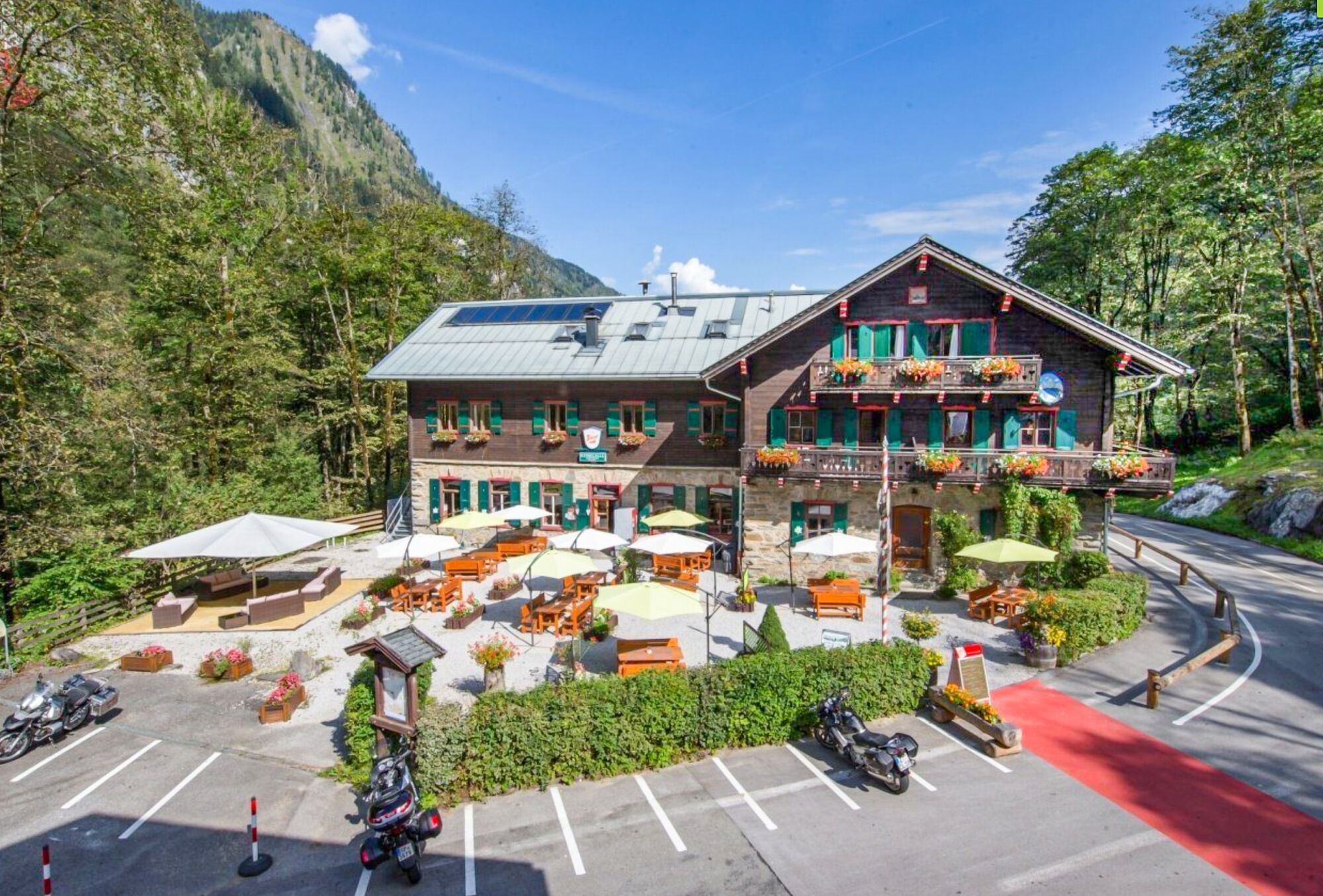
Alpengasthaus Kesselfall
- Height profile
-

- Safety instructions
- Tips
-
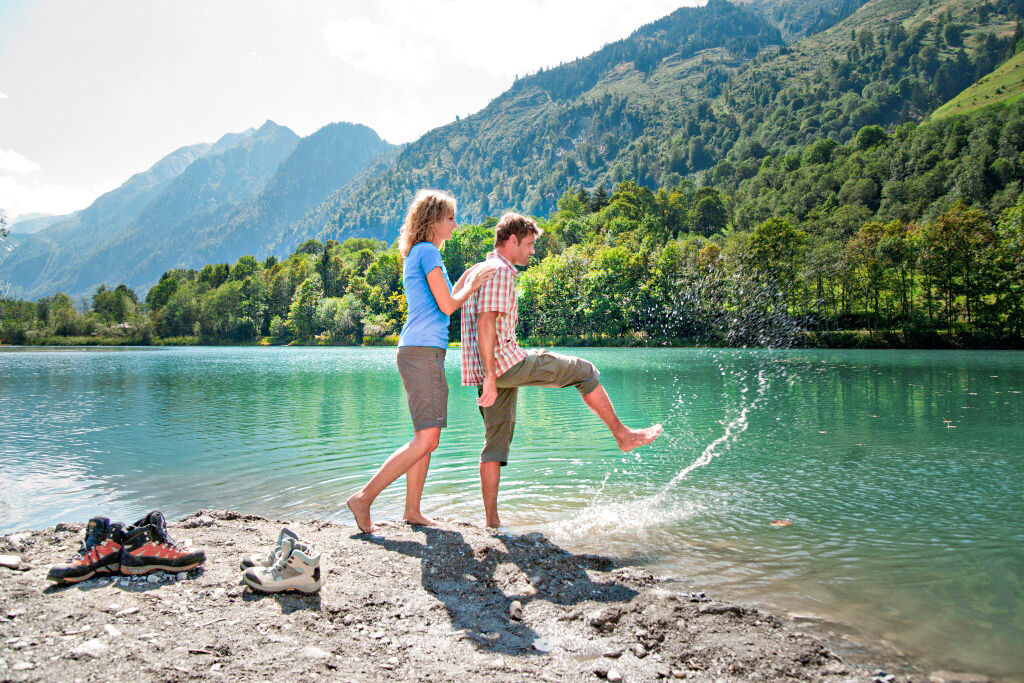
Treat yourself to a refreshing and stimulating the circulation stop at the Kneipp area of the green-turquoise Klammsee lake.
- Additional information
- Directions
-
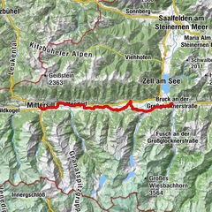
By bike: From Piesendorf Niedernsill follow the good marked Tauern Cycle Path to the valley station of the MK Maiskogelbahn in Kaprun.
- Public transportation
- Parking
-
Sufficient parking available at the valley station of the MK Maiskogel cable car.
-

-
AuthorThe tour KA3 Kesselfall is used by outdooractive.com provided.
GPS Downloads


General info
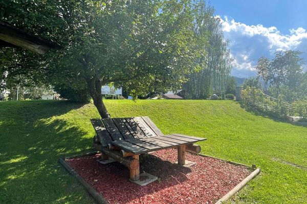
Refreshment stop
A lot of view
Other tours in the regions