
- Brief description
-
A cycling tour in one of the most beautiful Tauern valley of the Hohe Tauern National Park with a medium level of difficulty for mountain and road bikers.
- Difficulty
-
medium
- Rating
-
- Starting point
-
Village square Uttendorf
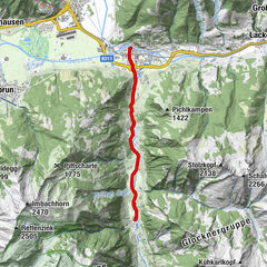
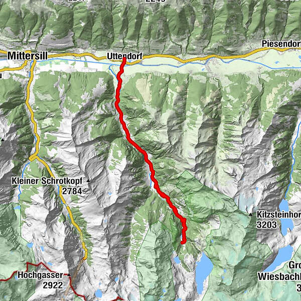
- Route
-
Uttendorf0.0 kmStubach2.7 kmScheitern2.8 kmWiedrechtshausen4.9 kmInnerwiesen6.4 kmSchneiderau10.0 kmVorhofalm11.4 kmSchrabachfall11.9 kmEnzingerboden17.2 kmPaletti17.3 km
- Best season
-
JanFebMarAprMayJunJulAugSepOctNovDec
- Description
-
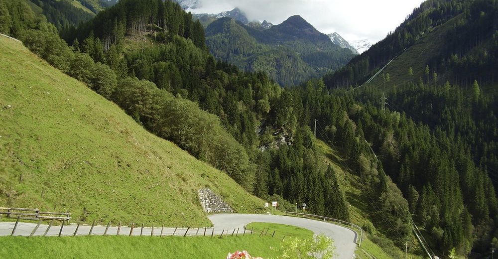
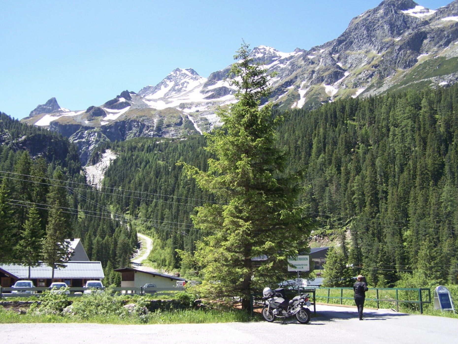
The valley must have been filled with ice many thousands of years ago, as at the panoramic road to the Enzingerboden, there are repeatedly rock walls visible that were once worn by the glacier. Numerous interesting cultural assets and sights, such as the remarkable farm "Wiedrechtshausen" with a sundial from the 18th century, many small waterfalls, wonderful views into the region of the glaciers, a beautiful mixed deciduous forest, the landscape conservation area "Dorfer Öd" and much more form a journey of discovery through the Stubachtal valley.
- Directions
-
From the starting point follow the Stubachstraße into the Stubachtal until you reach the Schneiderau. From here the more demanding part of the tour begins. Bend after bend you follow the panorama road to the Enzingerboden (1,468 m).
The way back is via the same route.
- Highest point
- 1,475 m
- Endpoint
-
Enzingerboden - Valley station Weißsee Gletscherbahn
- Height profile
-

- Safety instructions
- Tips
-
A following hike through the mysterious high moor of Wiegenwald - the jungle in the middle of Europe will enrich your bike tour.
- Additional information
- Directions
-
By bike: From Piesendorf Niedernsill follow the well-marked Tauern Cycle Path to the village square of Uttendorf.
- Public transportation
- Parking
-
Sufficient parking available at the train station and in the village square in Uttendorf.

-

-
AuthorThe tour 8D Panoramastraße Stubachtal is used by outdooractive.com provided.