
- Brief description
-
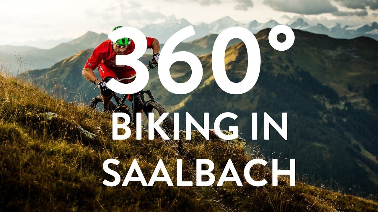
A tour including the legendary Hacklberg Trail and an ascent with the Westgipfel lift.
- Difficulty
-
medium
- Rating
-
- Starting point
-
Centre of Hinterglemm
- Route
-
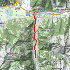
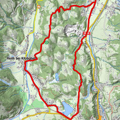
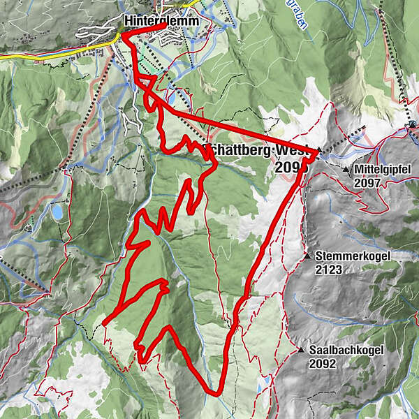
Hinterglemm0.1 kmWestgipfelbahn Talstation1.1 kmWestgipfelbahn Mittelstation2.4 kmSchattberg West (2,096 m)2.6 kmWestgipfelbahn Bergstation2.6 kmHacklbergalm6.3 kmOberschwarzachlifte19.8 kmHinterglemm21.2 km
- Best season
-
JanFebMarAprMayJunJulAugSepOctNovDec
- Description
-
An e-bike tour with smooth trails in the district Hinterglemm!
- Directions
-
After the start in Hinterglemm you ride to the yellow Westgipfel lift. This gondola takes you directly to the start of the legendary Hacklberg Trail.
When you arrive at the Hacklbergeralm, you don't enter the second section of the trail as usual, but turn into a forest path in the first curve after the hut and follow the trail towards the Huberhochalm. Then the trail goes via the Huberalm Trail directly to the rustic Huberalm. The perfect place for a rest and a short breather. After refreshment you continue down the forest road in the direction of Hinterglemm. Only a few metres later you turn into the forest path to the Hacklbergeralm. After several metres of elevation you are at the end of the Hacklberg Trail 2 and orientate yourself along the short road towards the middle station. Shortly before the station the Buchegg Trail starts. The trail meanders down to the Buchegg Resort. Continue to the Gerstreitalm for Kasnock'n and drinks. Directly at the Gerstreitalm, a path leads back to the valley station of the Westgipfel lift and then back to the centre of Hinterglemm.
- Highest point
- 2,079 m
- Endpoint
-
Centre of Hinterglemm
- Height profile
-


-

-
AuthorThe tour E-BIKE HACKLBERG TRAIL & HUBERHOCHALM is used by outdooractive.com provided.