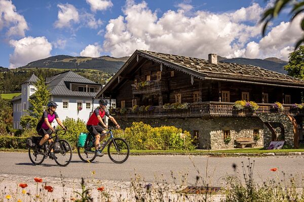
© BRUCK FUSCH | GROSSGLOCKNER - Ana Schischka

- Brief description
-
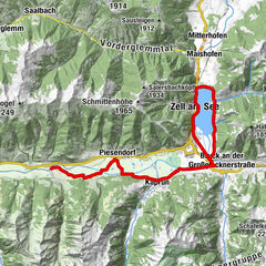
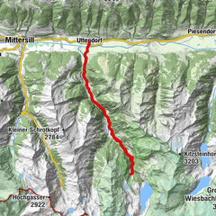
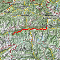
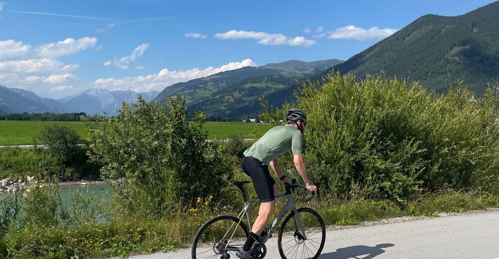
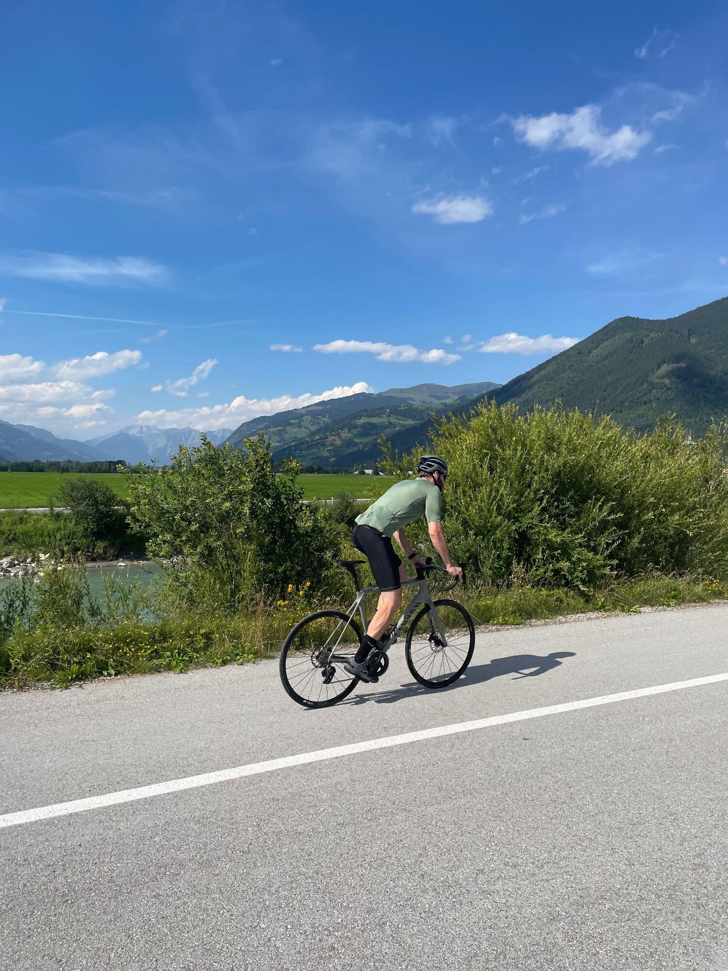
Tauernradweg | Mittersill – Bruck
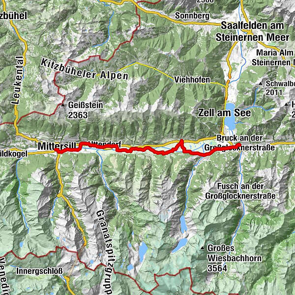
- Route
-
Mittersill0.2 kmFelben0.8 kmFelberkirche1.0 kmWilhelmsdorf3.4 kmStuhlfelden4.6 kmPirtendorf5.9 kmUttendorf8.0 kmGasthof Tischlerwirt8.3 kmTobersbach9.3 kmUggl9.9 kmLengdorf13.2 kmPfarrkirche hl. Luzia15.2 kmNiedernsill15.2 kmJesdorf15.7 kmHummersdorf19.3 kmIl Capriccio21.9 kmPiesendorf21.9 kmGasthof Neuwirt21.9 kmEinödhof24.6 kmKaprun26.5 kmBruck an der Großglocknerstraße31.9 kmHl. Maria32.3 km
- Highest point
- 807 m
- Height profile
-

- Author
-
The tour Tauernradweg | Mittersill – Bruck is used by outdooractive.com provided.
GPS Downloads


Other tours in the regions