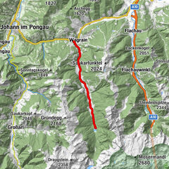
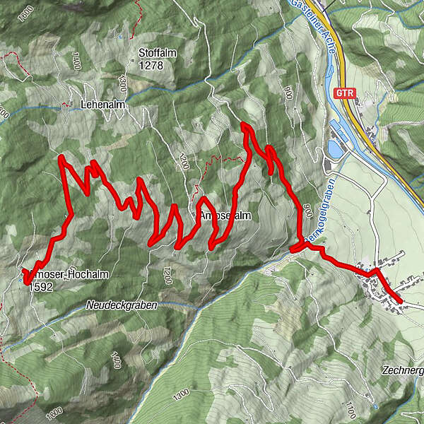
Tour data
7.27km
845 - 1,593m
Distance
788hm
33hm
Ascent
02:33h
 
Duration
Rating
Technique
Fitness
Landscape
Experience
Route
Unterbergerwirt
0.0 km
Unterberg
0.2 km
Amoseralm
3.4 km

Highest point
1,593 m
Height profile

Author
The tour Amoserhochalm is used by outdooractive.com provided.

Overall rating

5

0

%

4

0

%

3

0

%

2

0

%

1

0

%

Error
An error has occurred. Please try again.
Thank you for your review

Rating has been deleted

GPS Downloads
  • GPX GPS Exchange Format (XML)
  • KML Google Earth, Google Maps
QR Download Codes for Mobile Phones

Popular tours in the area

E-Bike Wagrain-Jägersee (9)

easy Cycling
23.01km | 253hm | 01:45h

Alpe Adria Radweg - Etappe Gastein

Cycling
27.7km | 326hm | 02:22h

Zellersee-Radweg

Cycling
11.1km | 24hm | 01:00h

Bike Tour Tour around Lake Zell

easy Cycling
11.2km | 58hm | 00:45h