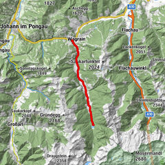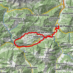
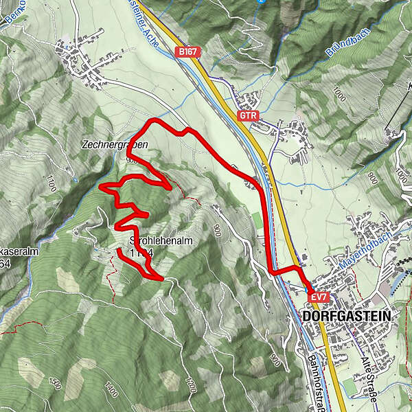
© Pongau-Almenweg
Tour data
4.38km
836
- 1,119m
328hm
50hm
01:10h
- Rating
-
- Route
-
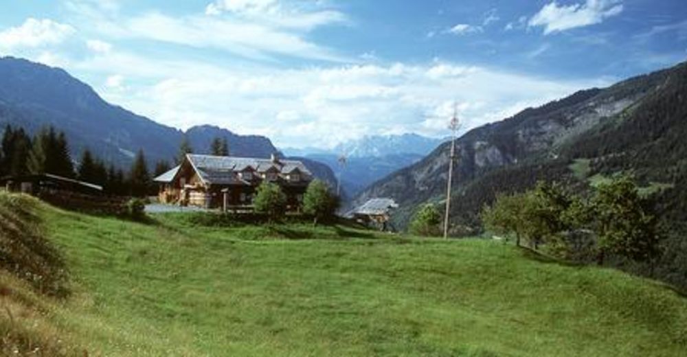
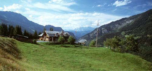
Dorfgastein0.0 kmStrohlehenalm4.3 km
- Highest point
- 1,119 m
- Height profile
-

- Author
-
Pongau-AlmenwegThe tour Strohlehenalm is used by outdooractive.com provided.
GPS Downloads


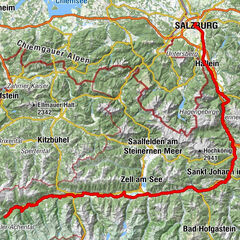
Other tours in the regions