© Salzburger Saalachtal Tourismus - Reini Schellevis
© Salzburger Saalachtal Tourismus - A. Meurer


- Brief description
-
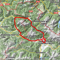
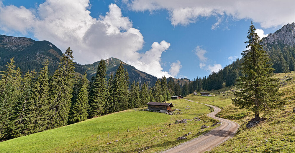
E-mountain bike tour from Unken over the Sonnberg into the Heutal and on to the Hochalm.
- Difficulty
-
medium
- Rating
-
- Starting point
-
Unken - Town Hall
- Route
-
Unken0.0 kmUnkenboden1.0 kmSonnberg3.5 kmTrostberger Hütte9.2 kmHochalm9.3 kmSonnberg15.2 kmUnkenboden17.3 kmUnken18.3 km
- Best season
-
JanFebMarAprMayJunJulAugSepOctNovDec
- Description
-
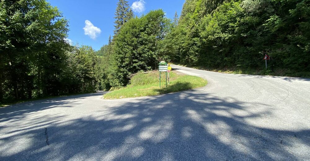
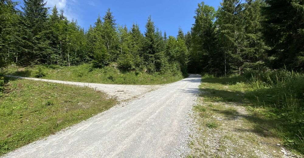
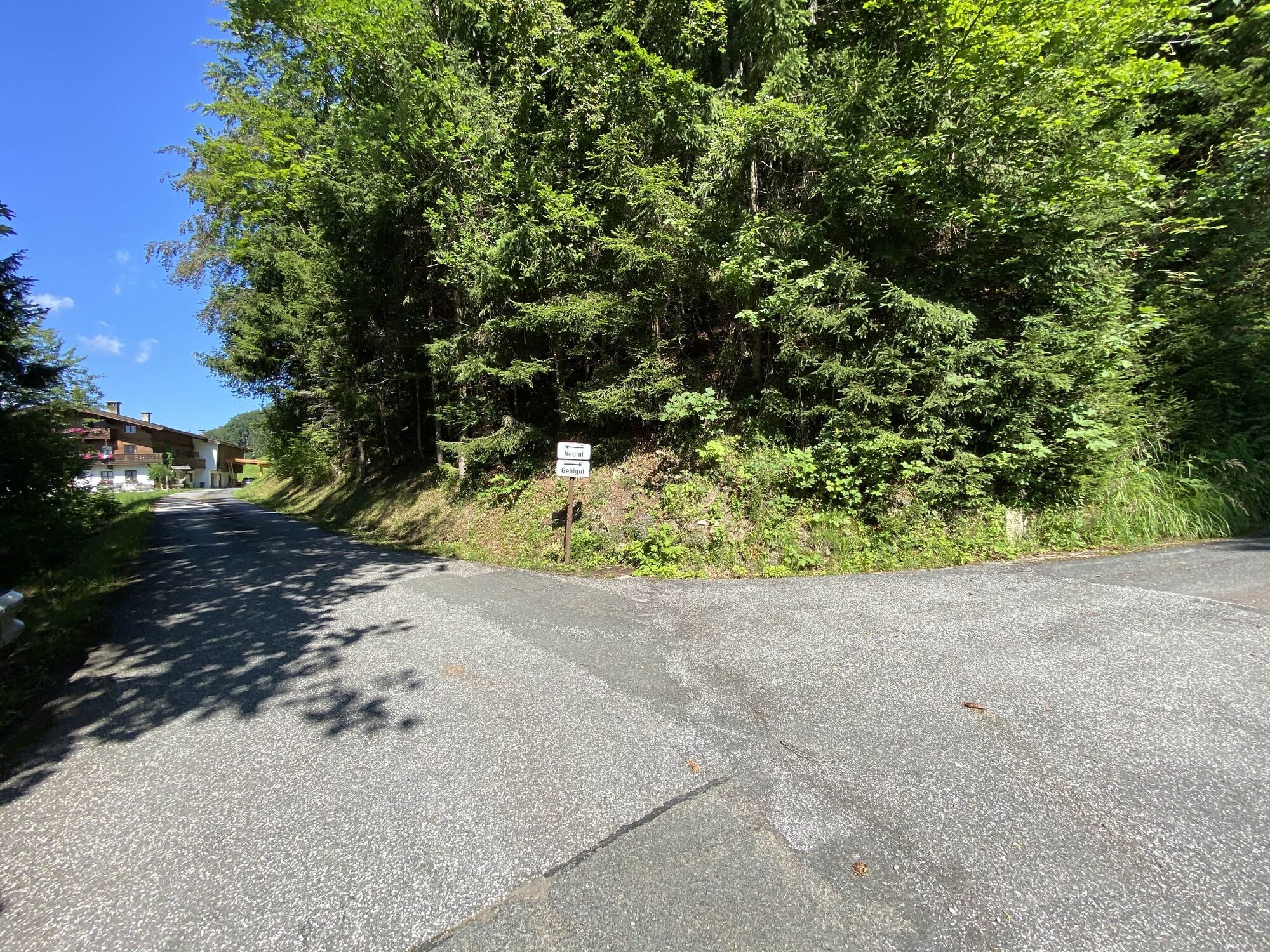
The e-mountain bike tour starts in Unken and first goes slightly uphill via the Heutal Landesstraße. The route continues uphill via the Sonnberg to the Hochalm junction. From here it is about 3 kilometres along the gravel road to the Hochalm, where a snack station awaits you. Return via the same path or the asphalted Heutal Landesstraße to Unken.
Tour SASA 14 in the bike map Salzburger Saalachtal.
- Directions
-
Unken - Sonnberg - Parkplatz Talbrücke - Hochalm und retour.
- Highest point
- 1,395 m
- Endpoint
-
Unken - Town Hall
- Height profile
-

- Equipment
-
In addition to a water bottle, we recommend that you bring sturdy shoes, warm clothing and rain protection, a repair kit, first aid kit, mobile phone, light, gloves, sunglasses and something to eat. And of course, don't forget your helmet.
- Tips
-
Enjoy the "Hüttenschmankler" at the Jausenstation Hochalm.
- Additional information
- Directions
-
Coming from Salzburg, turn right to Unken after the Steinpass border crossing.
Coming from Lofer/Zell am See, turn right to Unken before the Achberg tunnel.
The start of the tour is at the hiking start point in Unken.
- Public transportation
- Parking
-
Parking facilities in the centre of Unken


-

-
AuthorThe tour Hochalm Tour is used by outdooractive.com provided.
GPS Downloads


General info
Refreshment stop
A lot of view
Other tours in the regions