


- Brief description
-
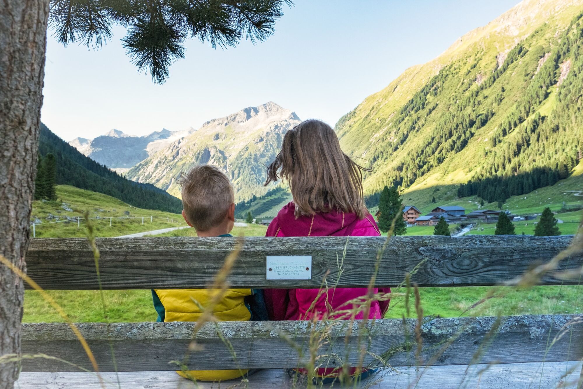
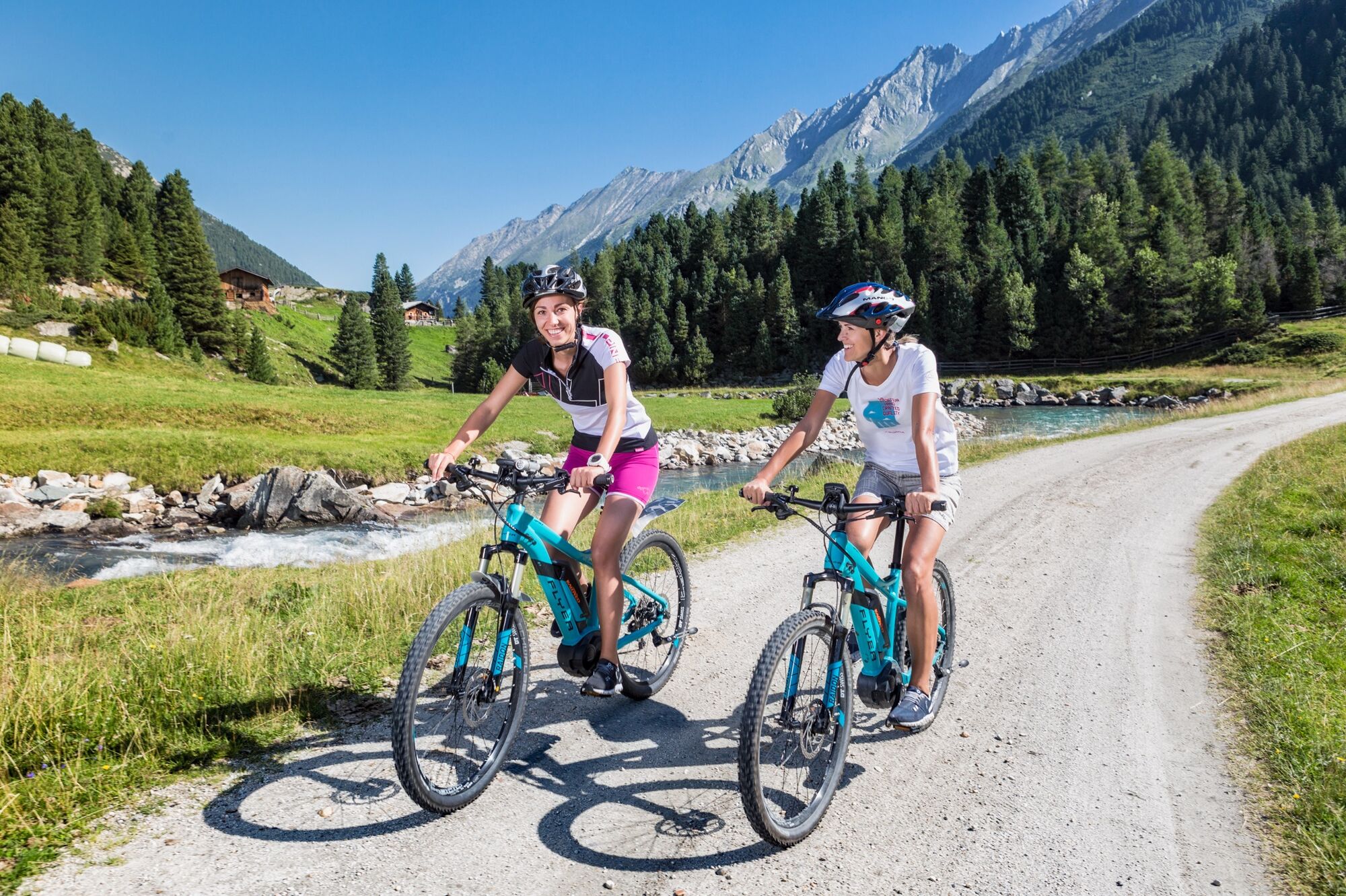
Through fascinating Achental to the rustic Windbachalm.
- Difficulty
-
medium
- Rating
-
- Route
-
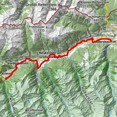
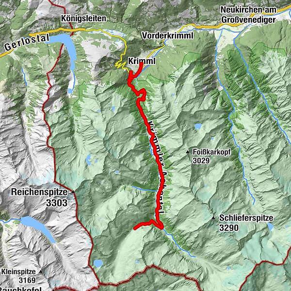
Krimml (1,067 m)Pfarrkirche Krimml0.0 kmKehre 1 / Burgwald (1,135 m)1.6 kmKehre 2 / Trattenköpfl (1,167 m)2.2 kmOberer Krimmler Wasserfall6.5 kmVeitenalm8.7 kmHölzlahneralm8.9 kmSöllnalm9.7 kmSchöpplalm10.2 kmMühleggalm11.4 kmHumbachalm11.9 kmAusserschachenalm12.4 kmInnerschachenalm13.1 kmBlitzebbichlalm13.8 kmKrimmler Tauernhaus13.9 kmSommerlehenalm14.2 kmFoißgemäueralm14.8 kmHintereggalm14.9 kmKesserlalm15.1 kmAlbl15.4 kmAußerunlaßalm15.6 kmInnerunlaßalm16.6 km
- Best season
-
JanFebMarAprMayJunJulAugSepOctNovDec
- Description
-
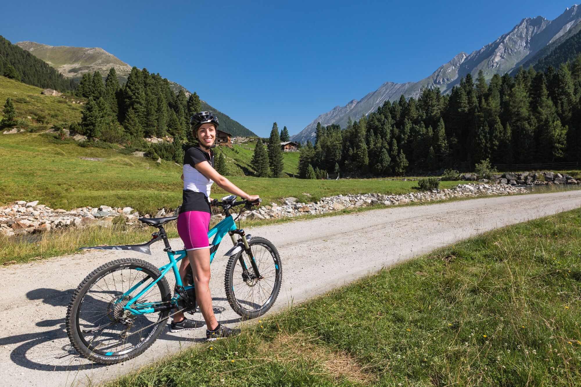
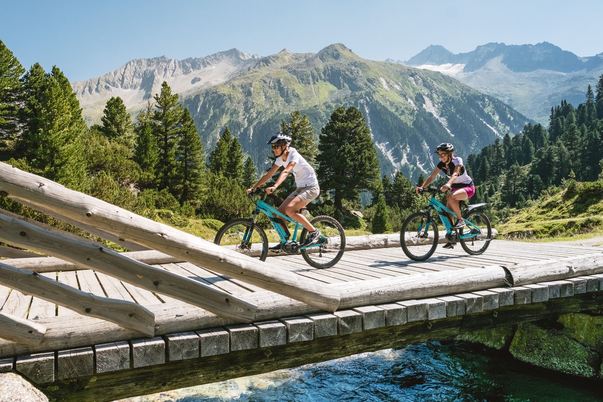
From the town of Krimml, this stage takes you along the Gerlos Alpenstrasse. After approximately 2 km, you will make a left on a lane leading to Krimmler Achental. Passing by Krimml Waterfalls, you will ride through the Anna Tunnel (length 300 m). Then, a hiking and biking path runs parallel to the Krimmler Ache, taking you past a series of rustic huts, some of which serve refreshments to passersby. After the Innerunlassalm, you will continue into Windbachtal as far as the Windbachalm.
- Highest point
- 1,878 m
- Endpoint
-
Windbachalm
- Height profile
-

- Equipment
-
Helmet, drinks bottle, light, weatherproof clothing
- Safety instructions
-
Please only ride these paths if you are wearing a helmet as well as appropriate safety gear.
Important - Please watch out for traffic on the Gerlos Alpenstrasse.
You will need to have a light on your bike, since you will have to ride through a short unlit tunnel.
- Tips
-
The Windbachalm does not serve refreshments.
- Directions
-
If you are coming from Tyrol, use the Gerlos Alpenstrasse. Coming from the east, travel in on the B165 via Mittersill.
- Public transportation
-
When traveling with the Pinzgauer Lokalbahn, a rail replacement service was set up between the stops "Niedernsill" and "Krimml Station".
Reservation is required for taking bicycles.
- Parking
-
Clearly signposted car parks are located right next to the road. Parking fees are charged.


- Author
-
The tour Krimmler Achental – Windbachtal is used by outdooractive.com provided.