


- Brief description
-
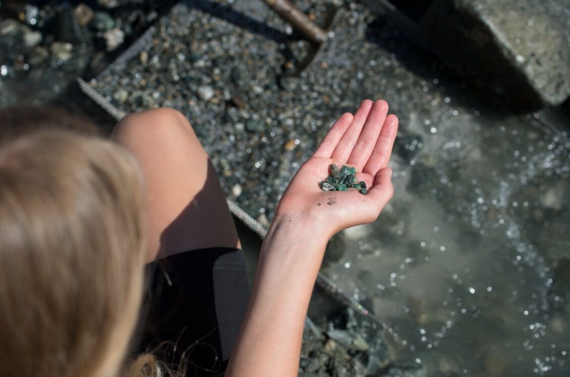
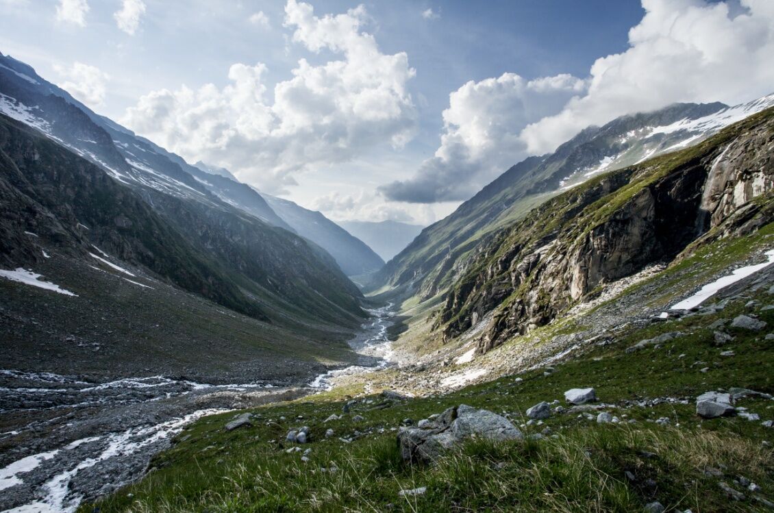
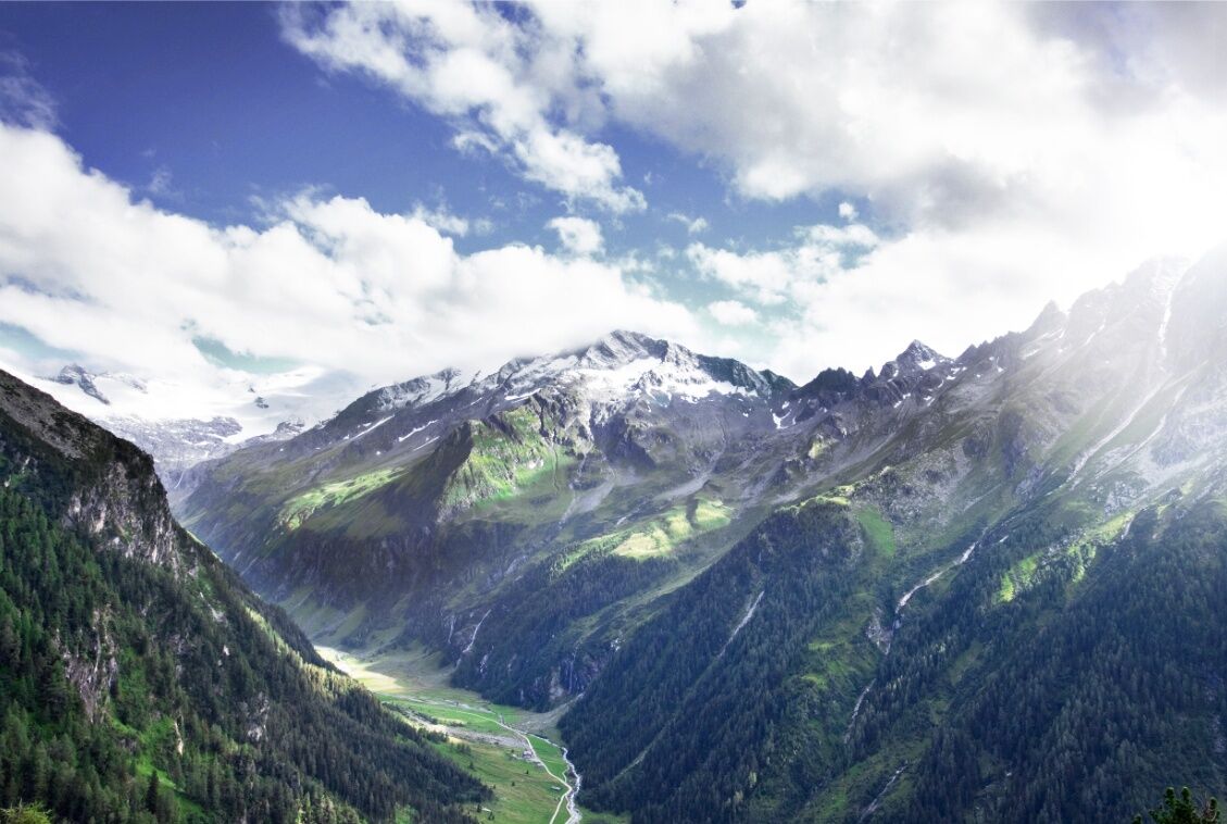
Auspicious e-bike tour with a moderate degree of difficulty. Invigorating: Activity & Nature: Drive into the scenic Habach Valley, renowned valley for its unique emerald deposits.
- Difficulty
-
medium
- Rating
-
- Starting point
-
town centre Bramberg
- Route
-
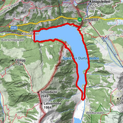
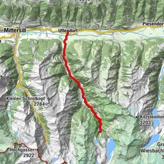
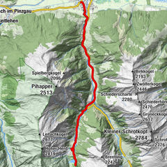
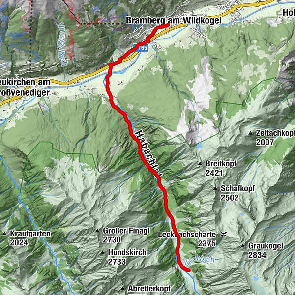
Bramberg am WildkogelWeichseldorf0.4 kmWeyer1.9 kmHabach3.7 kmEnzianhütte9.3 kmMahdlalm10.4 kmAlpenrose10.5 kmMoaalm11.1 kmMohaalm (1,410 m)11.1 km
- Best season
-
JanFebMarAprMayJunJulAugSepOctNovDec
- Description
-
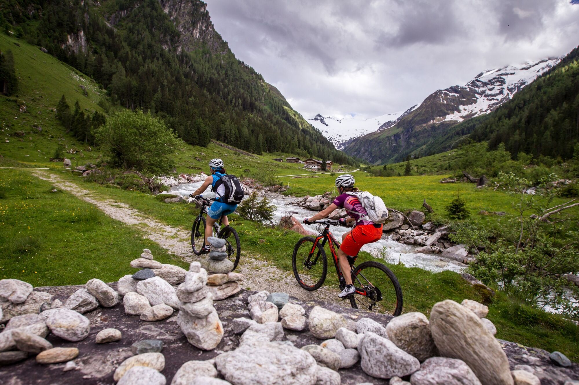
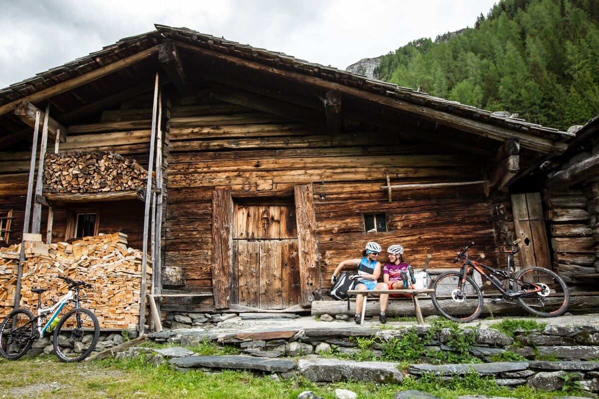
Your starting point is the town centre of Bramberg from there you follow the family-friendly cycle path `Tauernradweg` in the direction of Neukirchen am Großvenediger. When you arrived at the entrance to the Habach Valley continue on a a slightly uphill supply road, partly on asphalt, on gravel path into the impressive Habachtal.
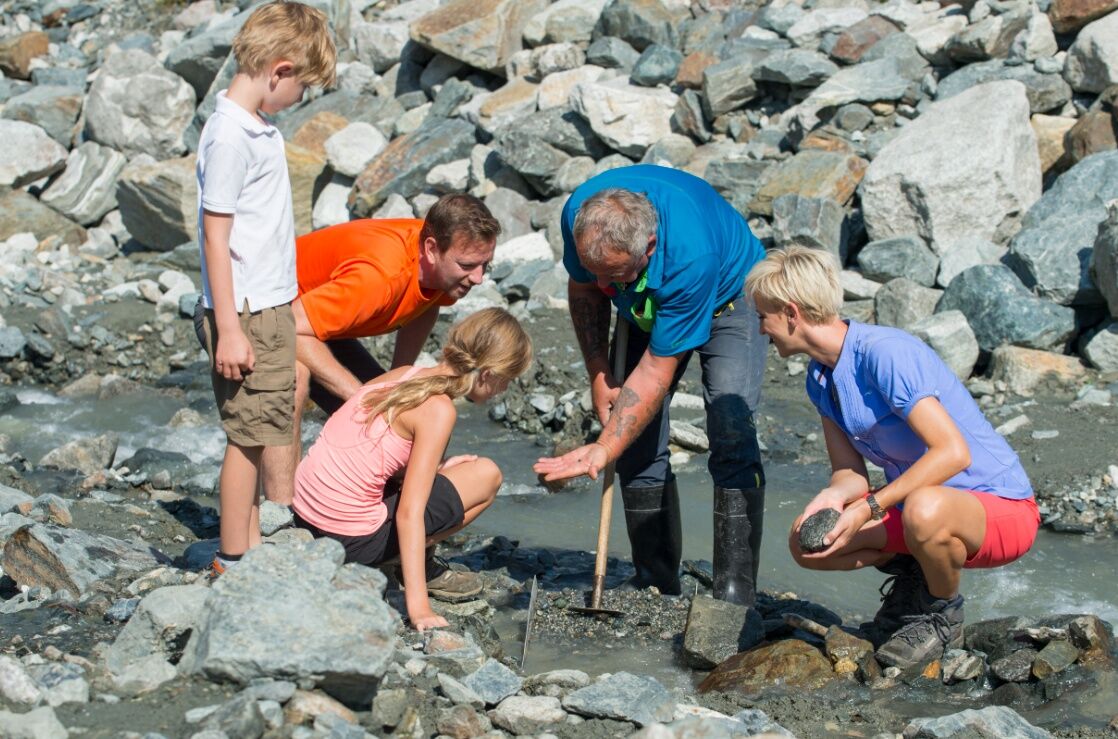
The Habach Valley is also well-known for its beautiful Emerald Path. This path branches off the alpine trail for mountain bikers to the left and as an adventure trail for hikers, it offers numerous informative stations. Legends, important information about the geology and mineralogy of the Habach Valley, wonderful views and much more accompany you on the way and will definitely move you into the amazement.
- Directions
-
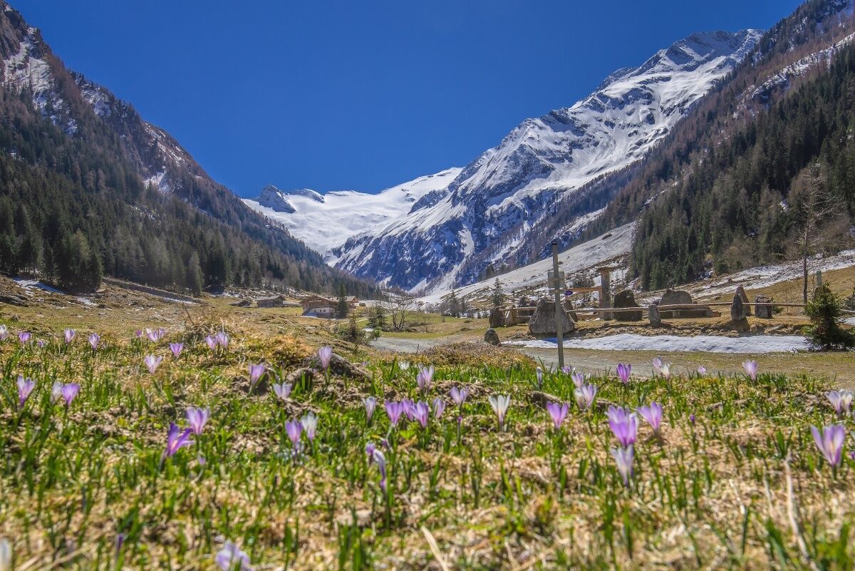
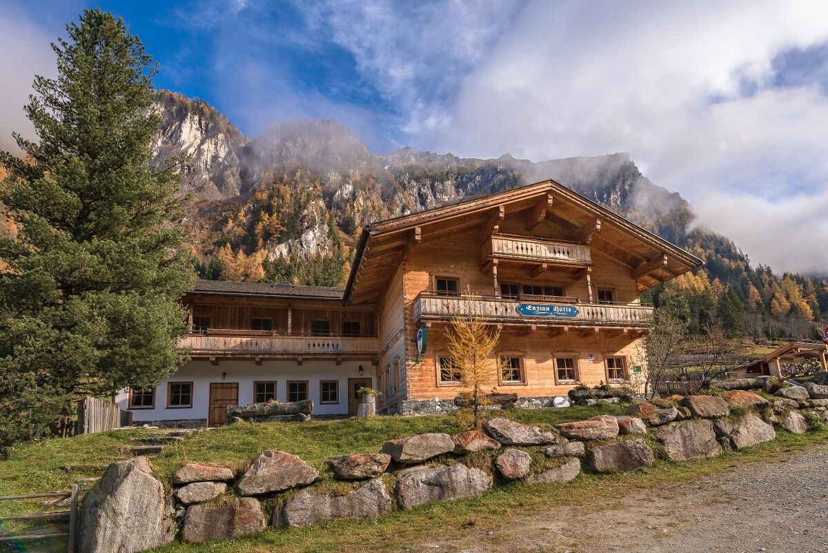
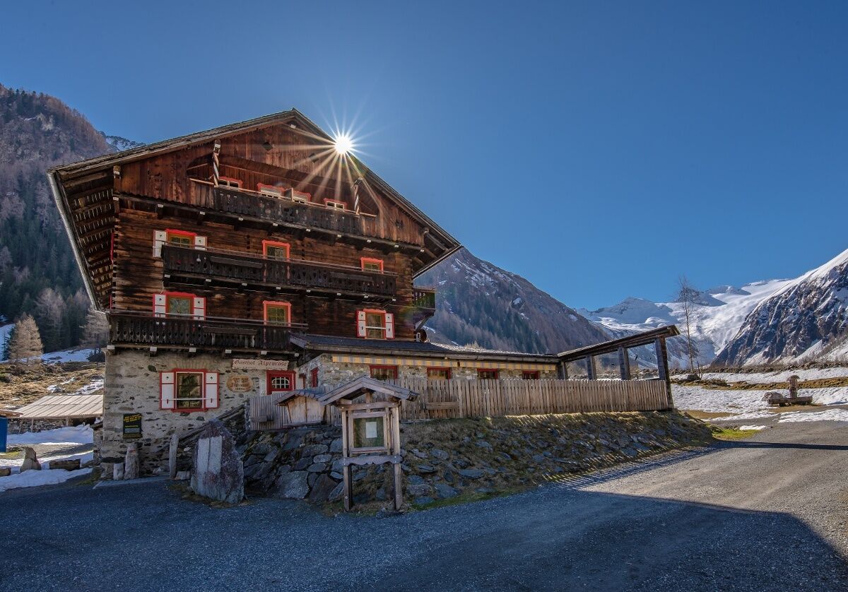
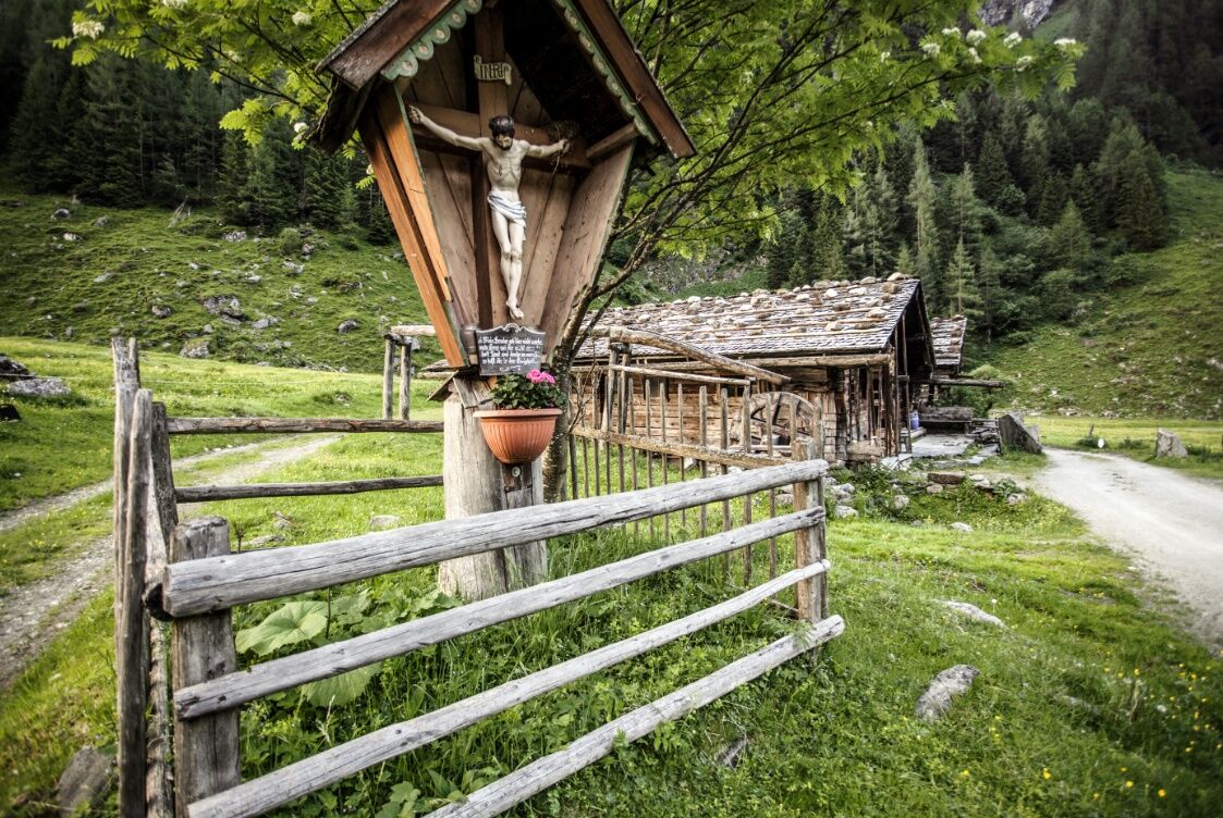
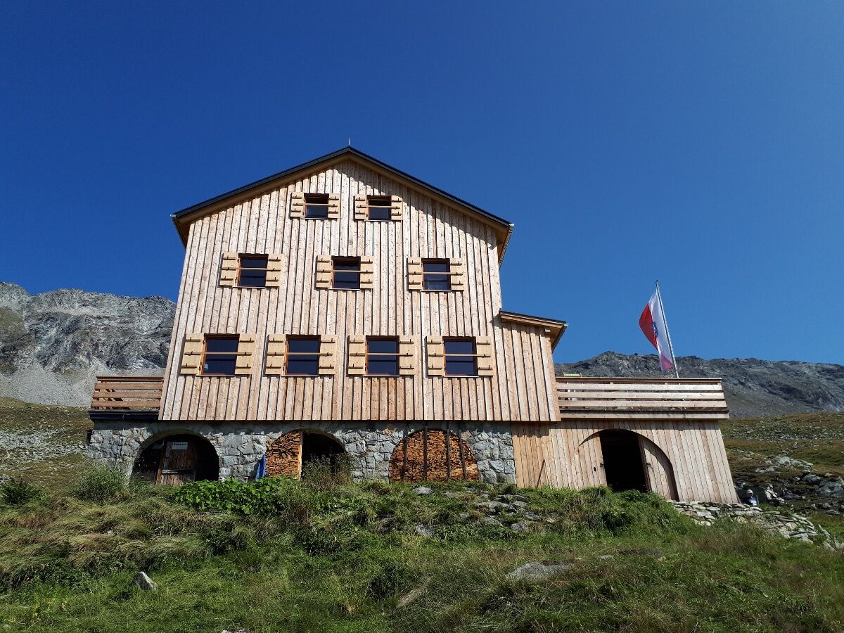
The starting point is the center of Bramberg, from where you follow the well-developed Tauern Cycle Path in the direction of Neukirchen to the entrance to the Habach Valley - at the National Park Information Center, the moderately rising alpine trail begins on the right, partly paved and partly on a gravel path. At the medium part you overcome a steep ascent of around 500 m, also known as the "Kramer Bichl". 'First of all you pass the Wennser Alm, the Enzianhütte, the Almgasthof Alpenrose until you reach the idyllically situated Alte Moa-Alm hut. From there it is only a few meters towards the end of the valley until you have to turn back. Take the same route back.
- Highest point
- 1,407 m
- Endpoint
-
Alte Moa-Alm
- Height profile
-

- Equipment
-
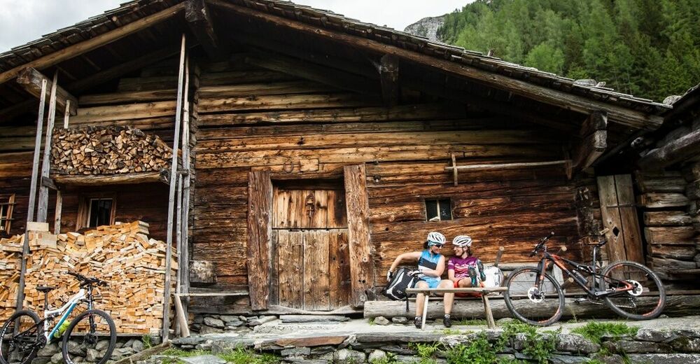
e-bike, helmet, cycling clothing & drinks for on the go
- Safety instructions
-
Moderate resident and hiking taxi traffic is to be expected along the route, please always watch out for oncoming cars. Remain on the marked routes / stretches.
- Tips
-
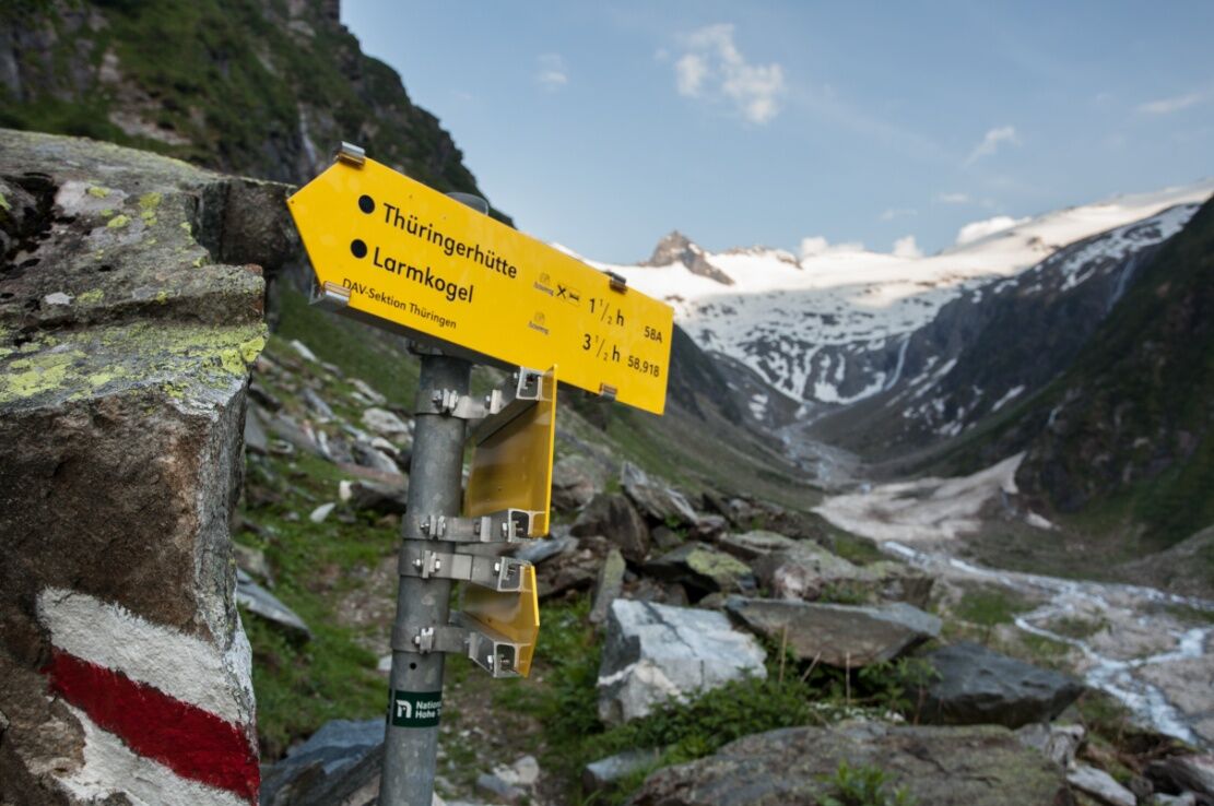
Especially for thoroughbred athletes a day trip is ideal: combination of bike & hike: ascent from the Alte Moa-Alm to the Neue Thüringer Hütte (2,240 m), total mountain biking time there and back approx. 2,5 hours and total hiking time approx. 4,5 hours.
Combination of biking and emerald prospecting: You can borrow a sieve, bucket, etc. from the Enzianhütte and the Almgasthof Alpenrose.
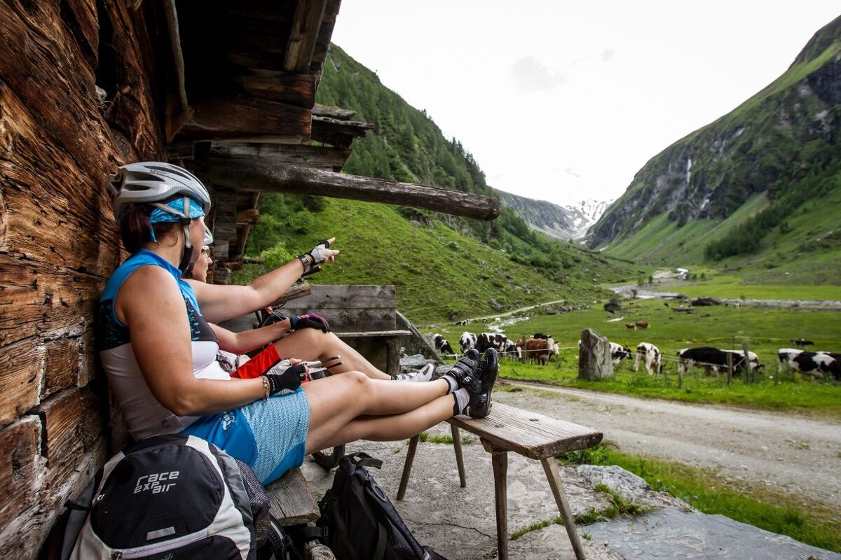
Enjoy tasty, regional delicacies in the cultivated alpine huts (Enzianhütte, Alpenrose and Alte Moa-Alm). - Additional information
- Directions
-
Coming from the north (D, NL, ...) Munich - Exit Kufstein süd (vignette required) - St. Johann i. T. - Kitzbühel - Pass Thurn - Mittersill - Bramberg-Habach
Coming from the west(CH) Inntal motorway (A12: Vignette required) - Wörgl Ost exit - St. Johann i.T. - Kitzbühel - Thurn Pass - Mittersill - Bramberg-Habach
Coming from the east Vienna - Salzburg (A1: Vignette required) - Bischofshofen - Zell am See - Mittersill - Bramberg-Habach
Coming from the south(I, SLO) Tauern Autobahn (A10: Vignette required) - St. Michael exit or Bischofshofen - Zell am See - Mittersill - Bramberg-Habach exit
Gerlos Alpine Road: owners of a multi-day ski pass, a season ticket for the Wildkogel-Arena & Zillertal Arena combined ticket or the Salzburg Super Ski Card can use the automatic lane of the Gerlos Alpine Road free of charge. - Public transportation
-
Take the Pinzgauer local train or the ÖBB buses to Bramberg - Habach.It is essential to make a reservation in advance to take bicycles with you.
Further information on public transportation you will find on here. From there it is another 1.5 km to the Habachtal parking lot, the starting point of this mountain bike tour.
- Parking
-
Parking lot Habachtal (address Habach 35, 5733 Bramberg) is chargeable.
- Author
-
The tour Bramberg: 4B Habachtal is used by outdooractive.com provided.