Z18V Ramingstein - Dr.-Josef-Mehrl-Hütte | Weg des Buches Zentral

Pilgrimage
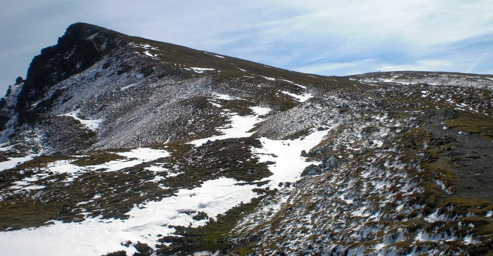
© Weg des Buches - Gerhard Moser
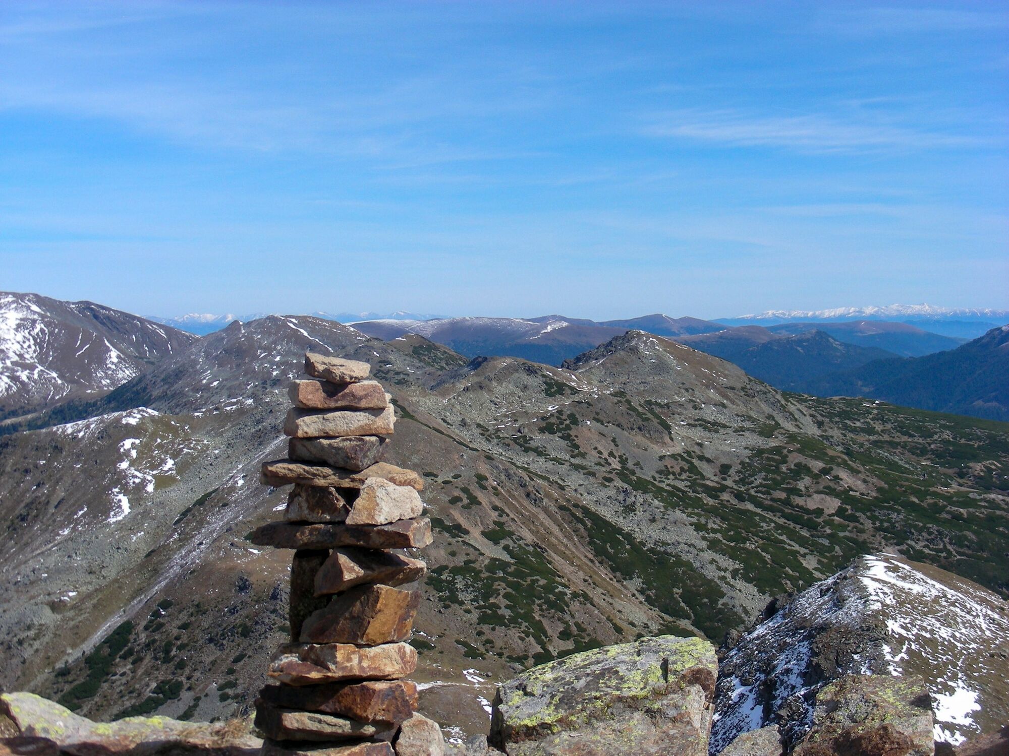
© Weg des Buches - Gerhard Moser

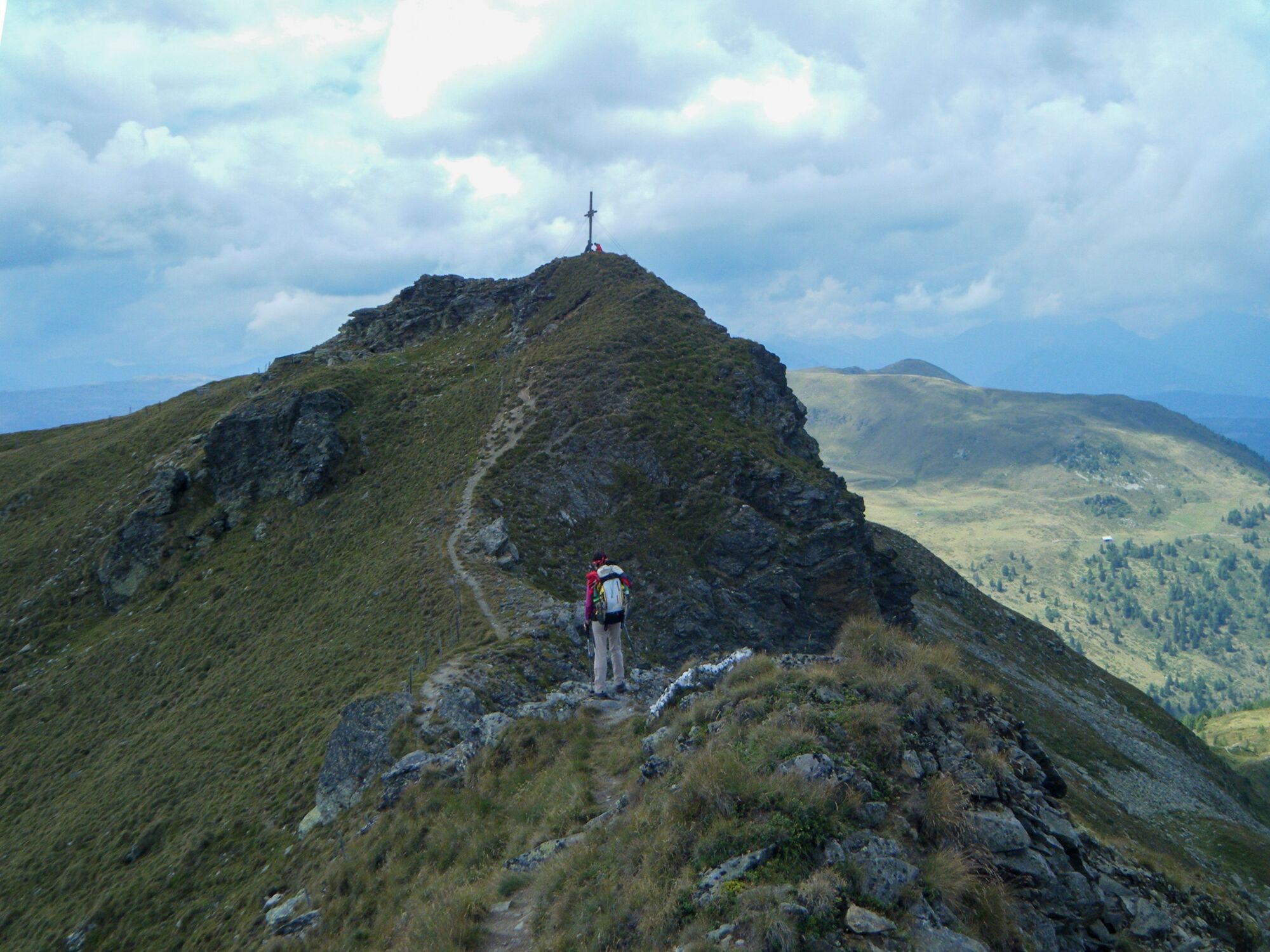
© Weg des Buches - Andrea Greinecker
© Weg des Buches - Gerhard Moser

- Brief description
-
Über Waldwege zu den sanft gerundeten Kuppen, den „Nocken“ - von Ramingstein über viele Gipfel, z.B. den kleinen Königstuhl, zur Mehrlhütte.
- Difficulty
-
difficult
- Rating
-
- Route
-
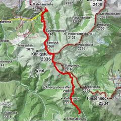
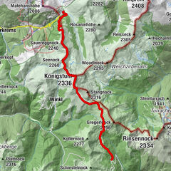
Ramingstein0.4 kmGstoßhöhe (1,891 m)6.2 kmWindriegel (2,017 m)9.2 kmFeldernock (2,257 m)11.7 kmKleiner Königstuhl (2,254 m)13.0 kmBärennock (2,234 m)15.4 kmKlöllingscharte (2,116 m)16.8 kmSchönfeldsattel (1,741 m)21.1 kmDr.Josef-Mehrl-Hütte21.6 km
- Best season
-
JanFebMarAprMayJunJulAugSepOctNovDec
- Highest point
- 2,251 m
- Endpoint
-
Dr.-Josef-Mehrl-Hütte
- Height profile
-


- Author
-
The tour Z18V Ramingstein - Dr.-Josef-Mehrl-Hütte | Weg des Buches Zentral is used by outdooractive.com provided.
GPS Downloads


General info
Cultural/Historical
A lot of view
Other tours in the regions