- Brief description
-
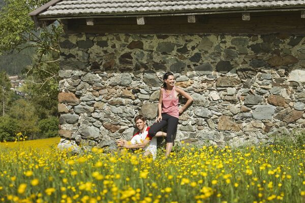
Berglauf mit dem gewissen Extra
- Difficulty
-
difficult
- Rating
-
- Starting point
-
HIB Saalfelden
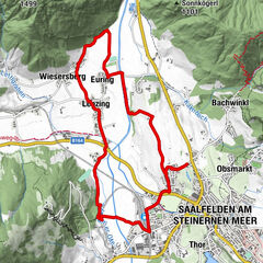
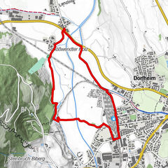
- Route
-
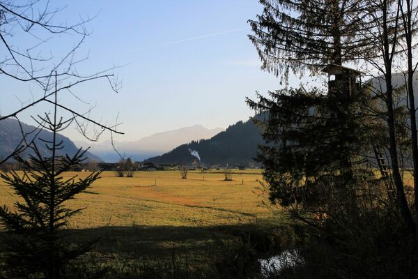
Saalfelden am Steinernen Meer (748 m)ObsmarktPalfenkapelle hl. Georg1.0 kmGeorgskapelle1.0 km
- Best season
-
JanFebMarAprMayJunJulAugSepOctNovDec
- Description
-
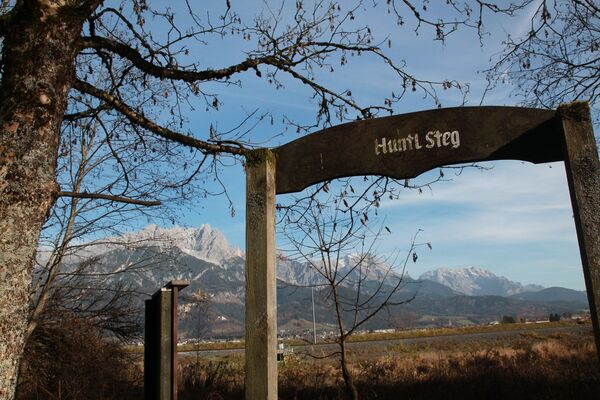
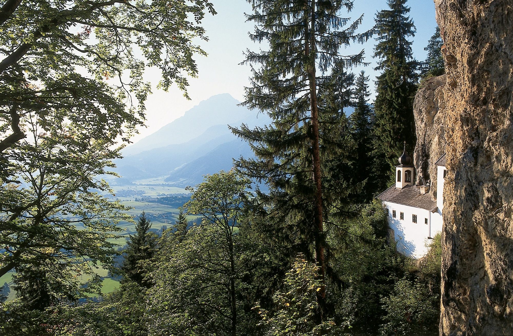
Short mountain running route (especially good for training) to a beautiful and spiritually inspiring destination.
- Highest point
- 993 m
- Endpoint
-
Einsiedelei Saalfelden
- Height profile
-

- Safety instructions
-
Surface: Gravel, forest floor
- Tips
-
In dry weather, with sturdy shoes and sure- footedness, you can make this route into a loop trail leading down to Bachwinkel.
- Directions
-
BY CAR
Drive on the Pinzgauer federal highway B311 from Saalfelden in the direction of Lofer. About 500 m after the roundabout at the Interspar supermarket, take a right into 'Anton-Wallner-Straße'. Follow the road for 350 m, then take a left into the Lichtenbergstraße. Follow the road for about 1.5 km until reaching the school grounds and your right. The run starts here.
- Public transportation
-
BY TRAIN
Take the train and start to enjoy your vacation as soon as you leave home. Relax and enjoy the view as you travel to Saalfelden Leogang with no traffic to slow you down. Visit the website of the Austrian railway (ÖBB) for schedules and tickets. www.oebb.at
BY BUS
The starting point at the parking lot Bürgerau can be reached by bus from the city center of Saalfelden. The bus stop "Saalfelden Höhere Internatsschule" is located at the starting point.
- Parking
-
Parking area above the school


-

-
AuthorThe tour Einsiedelei- Grallerei is used by outdooractive.com provided.