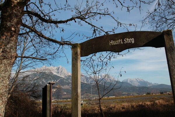
© (c) Lolin - Saalfelden Leogang

- Difficulty
-
medium
- Rating
-
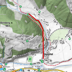
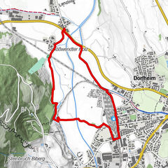
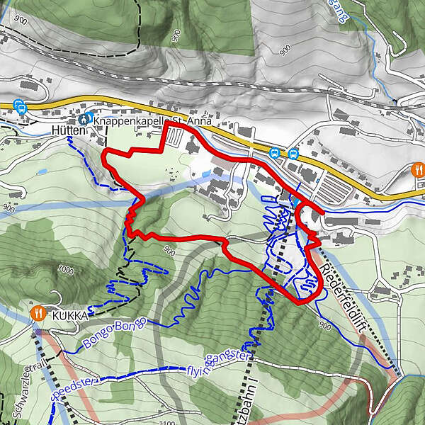
- Route
-
Asitzbahn I0.1 kmHütten0.8 km
- Best season
-
JanFebMarAprMayJunJulAugSepOctNovDec
- Directions
-
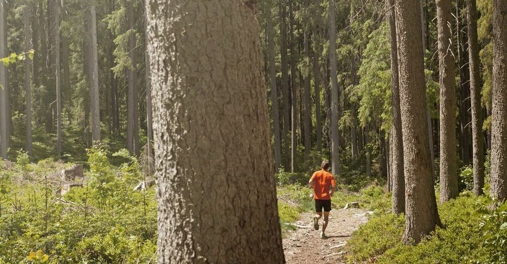
Short, but challanging training loop lined with artworks and circling around Bikepark Leogang.
- Highest point
- 899 m
- Height profile
-

- Safety instructions
-
Surface Gravel, asphalt
- Directions
-
From Saalfelden direction Hochfilzen, at Leoganger mountain railways
- Parking
-
directly at Leoganger mountain railwas

-

-
AuthorThe tour Leos Run is used by outdooractive.com provided.
GPS Downloads


Other tours in the regions
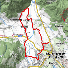
-
Saalfelden - Leogang
25
-
Leogang
23