© (c) Lolin

- Rating
-
- Starting point
-
Saliter Hof
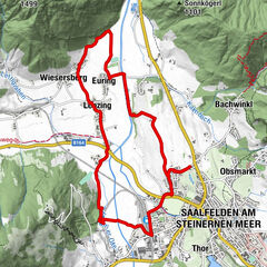
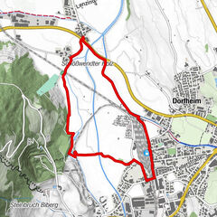
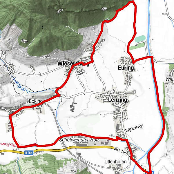
- Route
-
Euring2.3 kmFriedlbrunnquelle3.8 kmBiebing4.4 kmWiesersberg5.0 kmEcking5.9 km
- Best season
-
JanFebMarAprMayJunJulAugSepOctNovDec
- Description
-
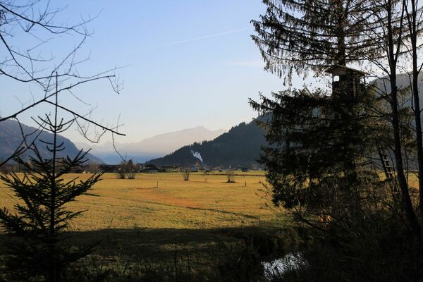
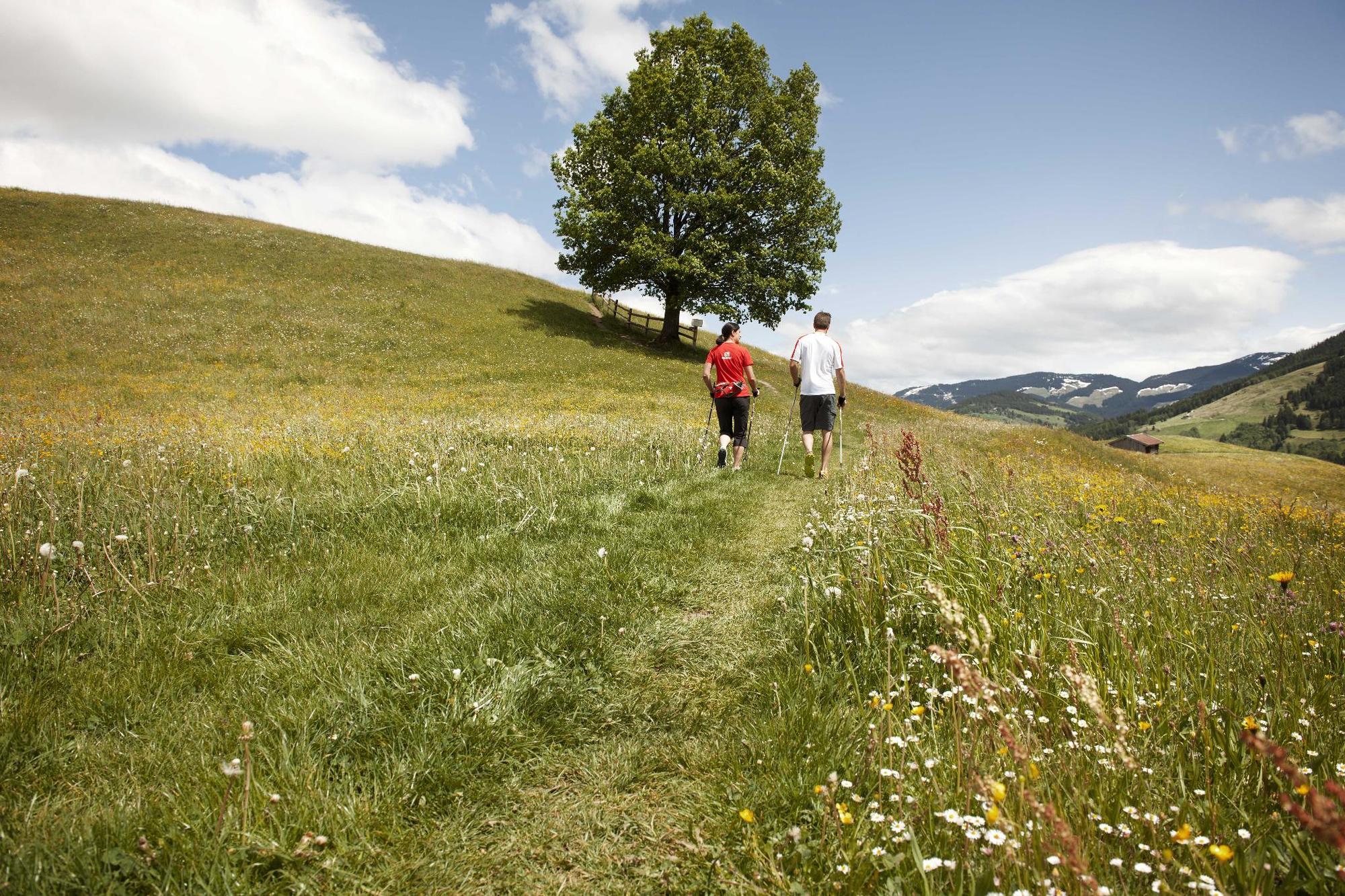
Flat, medium length loop trail along numer of streams and through fragrant meadows. Pure nature in the Saalfelden basin.
- Highest point
- 748 m
- Height profile
-

- Tips
-
FOr a beautiful variation, take a right from Wiesersberg up to the Pernerkapelle chapel, then come back following the Weissbach stream (not marked- add approx. 2 kilometer)
- Directions
-
Comming from Saalfelden: after local exit about 1 kilometer and than turn right.
- Parking
-
At Saliter Hof
-

-
AuthorThe tour Wiesen - Bach- Erlebnis is used by outdooractive.com provided.
GPS Downloads


General info
Refreshment stop
Other tours in the regions