
- Brief description
-
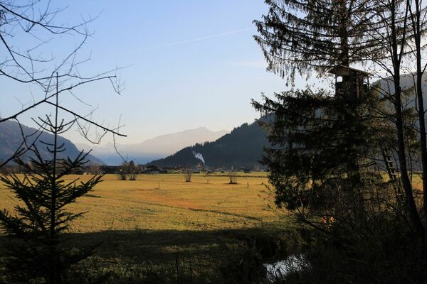
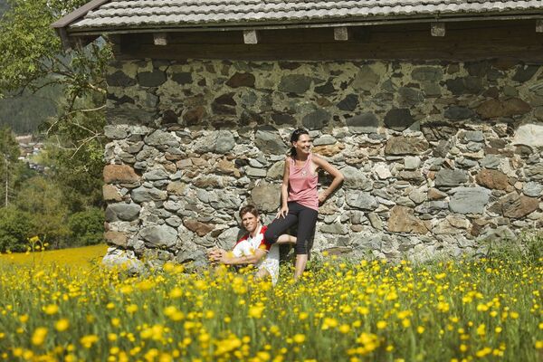
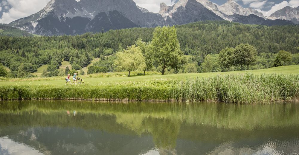
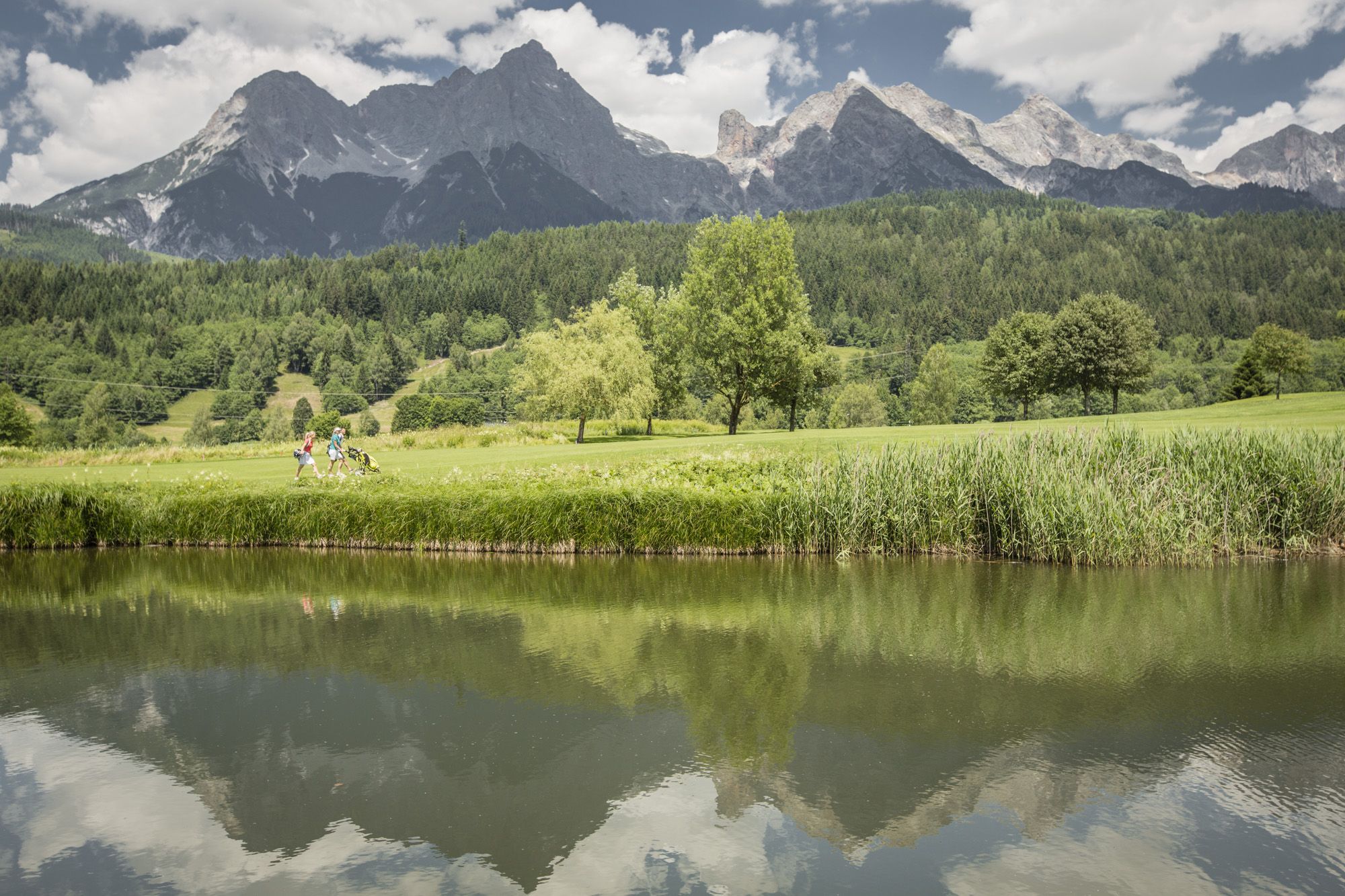
Easy loop trail around the golf course on beautiful trails. Moderate rises and descents. Ideal for beginners and leisurely walkers and runners.
- Difficulty
-
easy
- Rating
-
- Starting point
-
Construction yard Saalfelden (Ramseiden 211, 5760 Saalfelden)
- Route
-
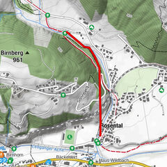
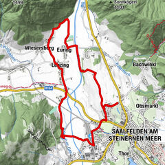
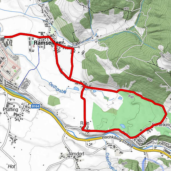
Saalfelden am Steinernen Meer (748 m)Feichtenkapelle0.6 kmRamseiden0.6 kmRain2.3 kmSchinking3.5 kmTheurerhof5.0 kmRamseiden6.2 kmFeichtenkapelle6.3 kmSaalfelden am Steinernen Meer (748 m)6.9 km
- Best season
-
JanFebMarAprMayJunJulAugSepOctNovDec
- Directions
-
This route starts at the contruction yard in Saalfelden. Follow the signage through Ramseiden and Oedt. Before passing the Theurerhof inn, take a righthand turn. Follow the road until the next intersection, take a left. You will now run on a gravel path witht he golf course on your lefthand side. Take the next turn left, follow the orad past the golf course, then take a left again onto another gravel path. Continue past the Theurerhof inn and back to the starting point.
- Highest point
- 823 m
- Endpoint
-
Construction yard Saalfelden (Ramseiden 211, 5760 Saalfelden)
- Height profile
-

- Safety instructions
-
Surface: Gravel, asphalt
- Tips
-
Route has relatively little shade. Best to run in the morning or evening in midsummer.
- Directions
-
BY CAR
Drive on the Pinzgauer federal highway B311 from Saalfelden in the direction of Lofer. About 500 m after the roundabout at the Interspar supermarket, take a right into 'Anton-Wallner-Straße'. Follow the road until the intersection at the "Anton-Wallner-Kaserne" military base. Take a left into the Ramseiderstraße. Follow the road for about 200m until you reach the starting point at the construction yard Saalfelden (Ramseiderstraße 211, 5760 Saalfelden) on the righthand side.
- Public transportation
-
BY TRAIN
Take the train and start to enjoy your vacation as soon as you leave home. Relax and enjoy the view as you travel to Saalfelden Leogang with no traffic to slow you down. Visit the website of the Austrian railway (ÖBB) for schedules and tickets. www.oebb.at
BY BUS
The starting point at the construction yard Saalfelden can be reached by bus from the city center of Saalfelden. The bus stop "Saalfelden Wallnerkaserne" is located in walking distance to the starting point.
- Parking
-
Parking spaces are available at the construction yard Saalfelden (Ramseiderstraße 211, 5760 Saalfelden).
-

-
AuthorThe tour Golfplatz- Runde is used by outdooractive.com provided.