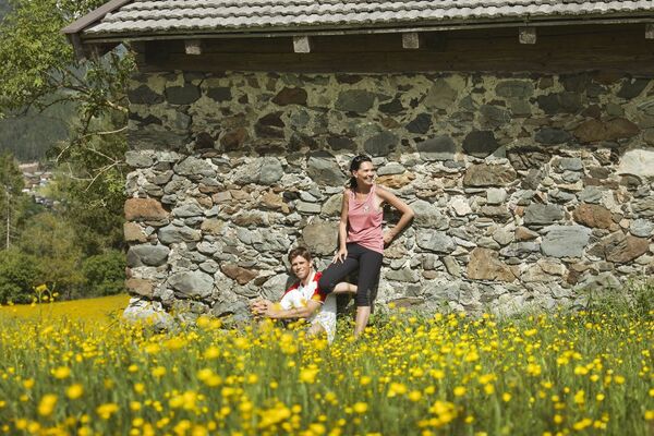
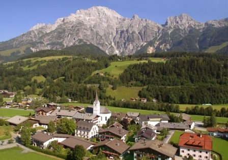
© Saalfelden Leogang Touristik GmbH - Saalfelden Leogang

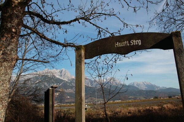
© (c) Lolin - Saalfelden Leogang

- Rating
-
- Starting point
-
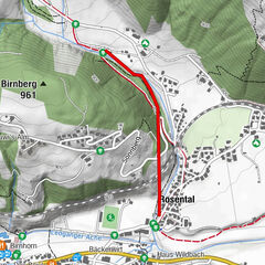
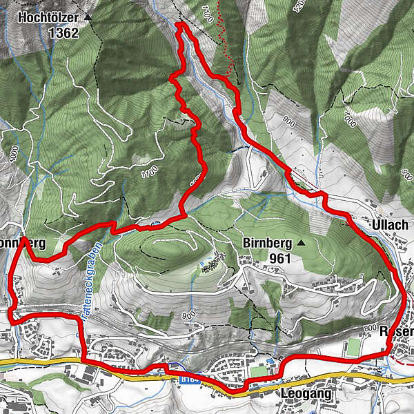
Stadium Rosental
- Route
-
LeogangBadhaussiedlung2.2 kmSonnberg2.5 kmUllach7.6 kmRosental8.1 kmLeogang9.1 km
- Best season
-
JanFebMarAprMayJunJulAugSepOctNovDec
- Description
-
Very challanging loop with some steep sections, but a pleasure for well- trained runners
- Highest point
- 1,032 m
- Height profile
-

- Safety instructions
-
Surface: Forest floor, gravel, asphalt
- Tips
-
Sturdy shoes and sure- footedness a must. Take care in wet conditions
- Directions
-
Comming from Saalfelden: according to local entry Leogang about 100 meters straight ahead, then at Bäckerei Ritter turn right, follow the road about 50 meters, on the left side at stadium Rosental
- Parking
-
directly at soccer stadium Rosental
-

-
AuthorThe tour Birnbach Trail is used by outdooractive.com provided.
GPS Downloads


General info
Refreshment stop
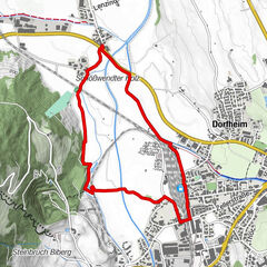
Other tours in the regions
-
Saalfelden - Leogang
25
-
Leogang
23