© Intersoc Belgium - Ferdy Lindelauf

© Intersoc Belgium - Ferdy Lindelauf

© Intersoc Belgium - Ferdy Lindelauf

© Intersoc Belgium - Ferdy Lindelauf

© Intersoc Belgium - Ferdy Lindelauf


- Brief description
-
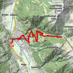
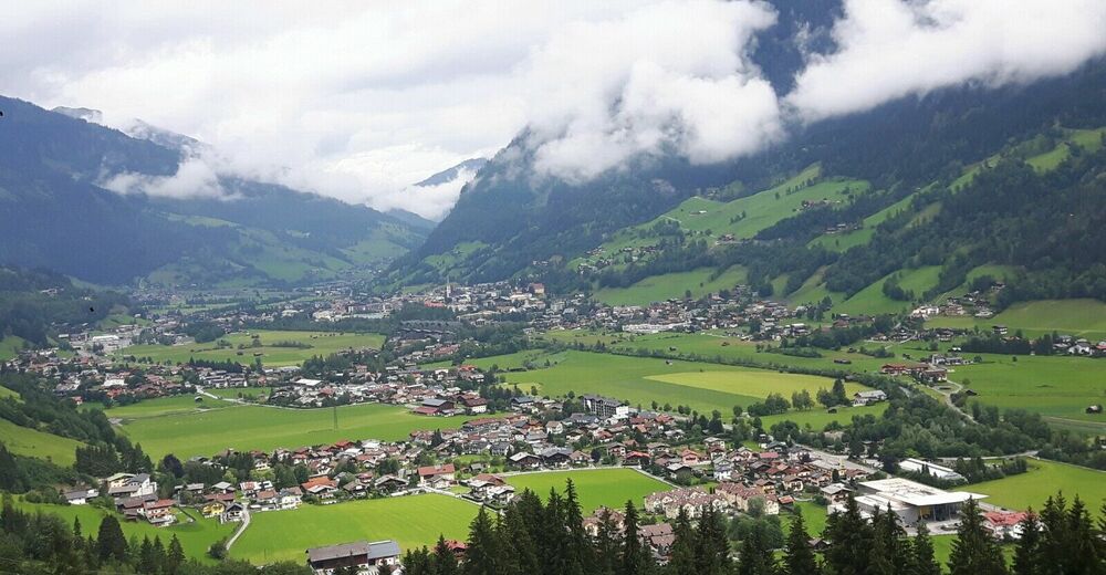
Bad Gastein
- Route
-
Bad Hofgastein0.5 kmHeißingfelding1.9 kmKapelle Heißing2.1 kmGadaunern3.1 kmLandgasthaus Ortenstein3.1 kmRemsach4.4 kmKötschachdorf5.7 kmGasthaus Bäckerwirtsgut6.3 kmBadbruck6.4 kmBadberg7.0 kmNikolauskirche7.4 kmPreimskirche7.9 kmGasteiner Wasserfall8.1 kmBad Gastein8.1 kmWasserfall8.1 kmBadbruck9.9 kmGasthaus Bäckerwirtsgut10.0 kmKötschachdorf10.5 kmAnger13.1 kmBad Hofgastein16.0 km
- Highest point
- 1,011 m
- Endpoint
-
hotel
- Height profile
-


- Author
-
The tour BHG-MTB - Bad Gastein is used by outdooractive.com provided.
GPS Downloads


Other tours in the regions