


- Brief description
-
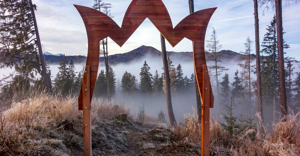
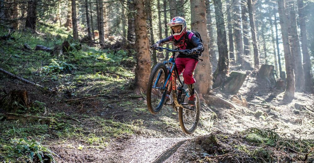
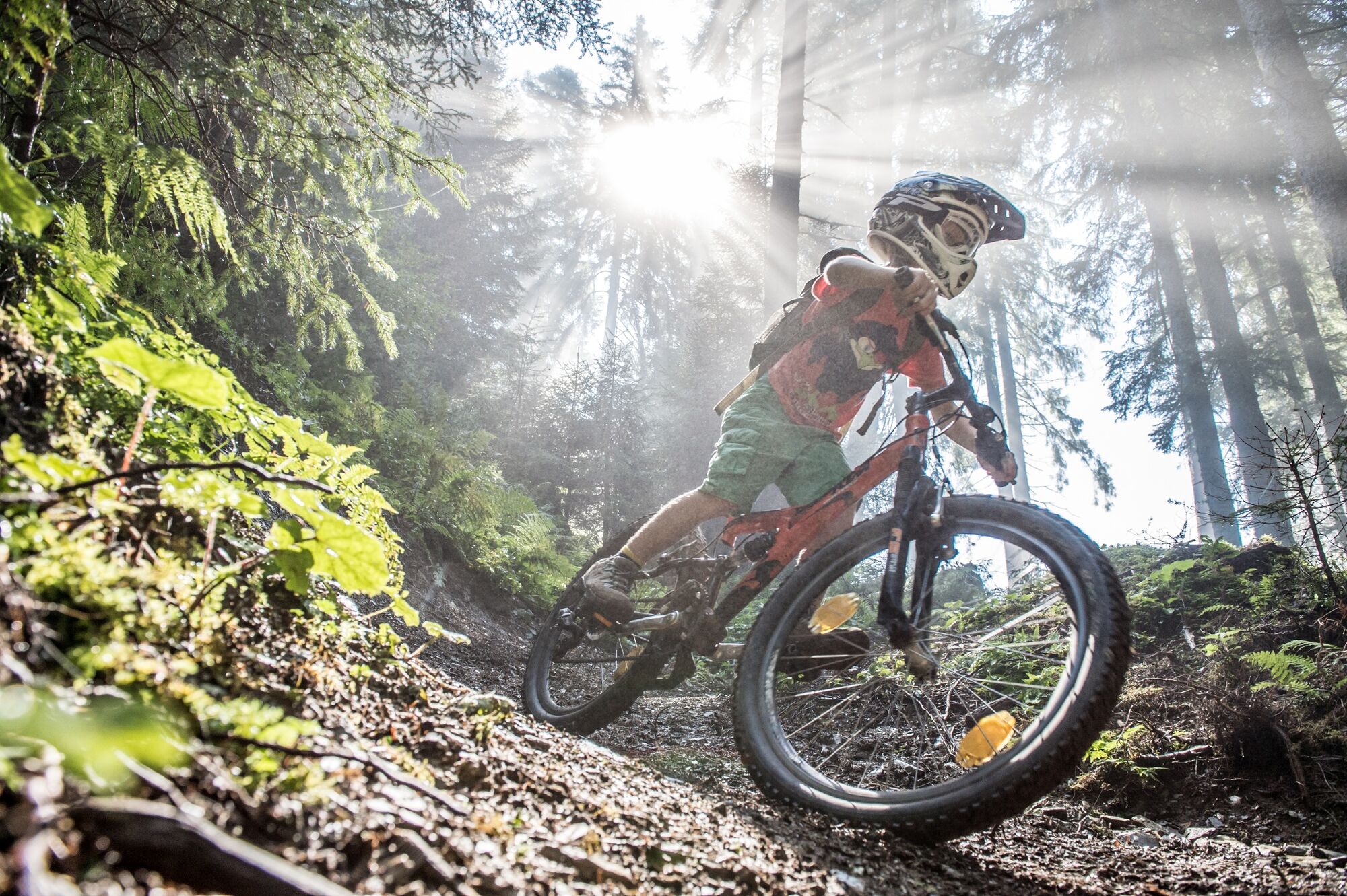
Through the idyllic landscape with a view of the Hochkönig, you feel pure adrenaline! The flow trail is kept very easy at the beginning, but becomes a little more difficult towards the end.
- Difficulty
-
medium
- Rating
-
- Starting point
-
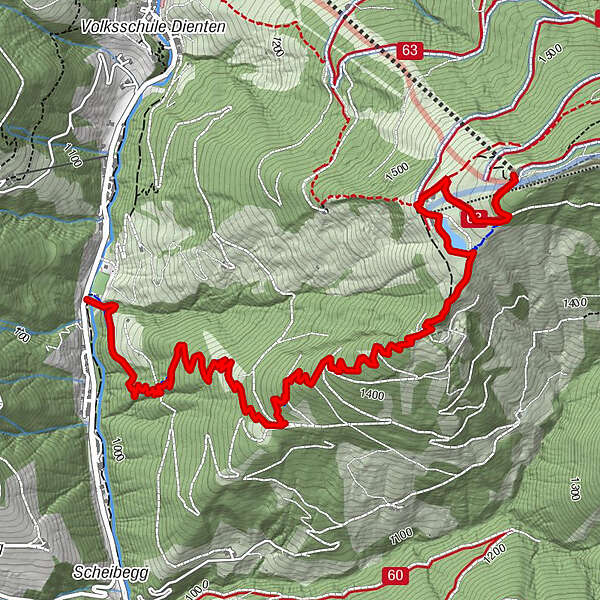
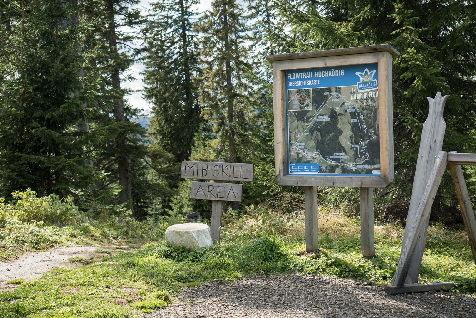
Bürglalm cable car mountain station
- Route
-
Bürglalm0.7 kmWastlhöhelift0.9 km
- Best season
-
JanFebMarAprMayJunJulAugSepOctNovDec
- Description
-
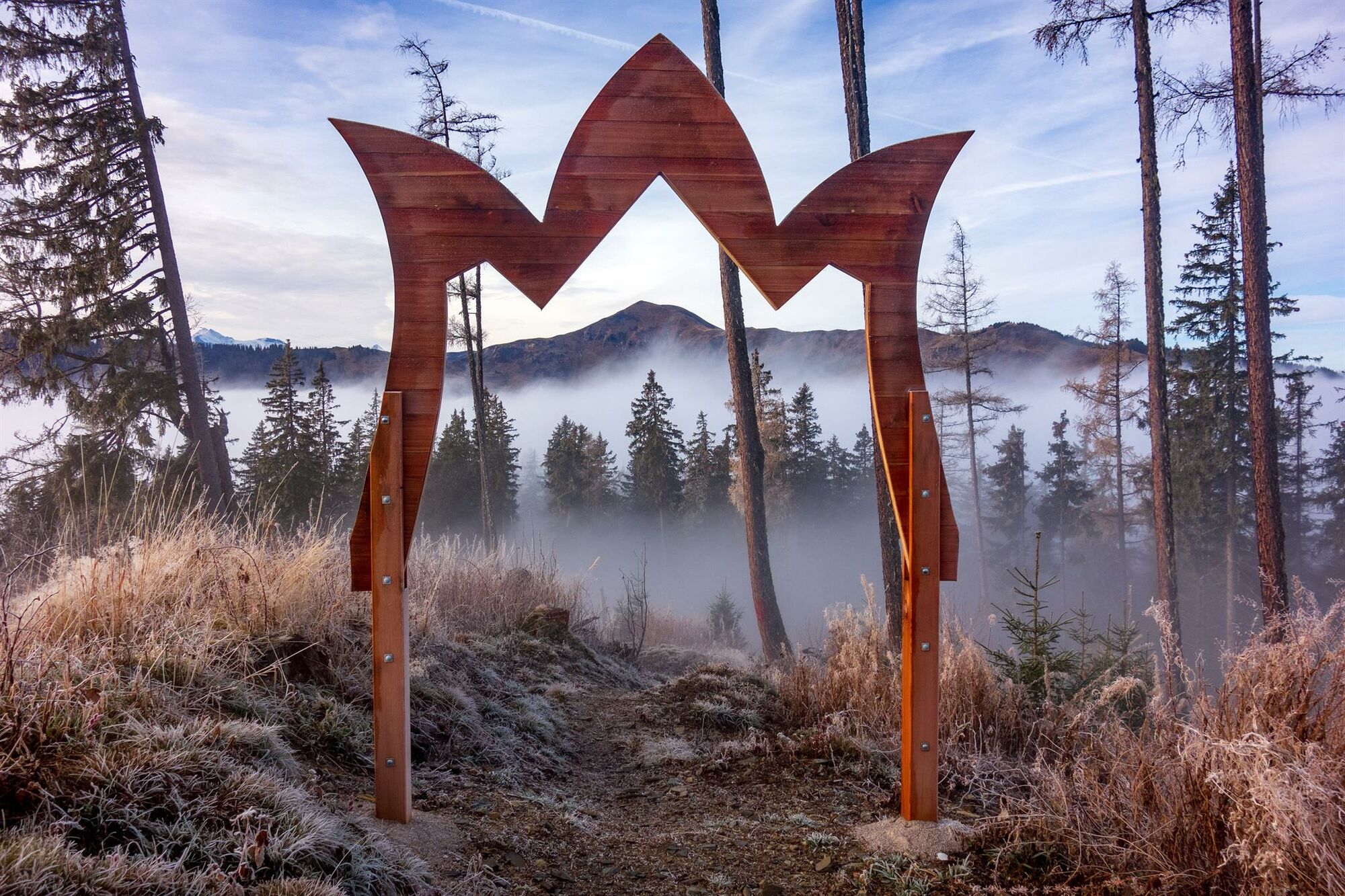
FLOWTRAIL HOCHKÖNIG - DIENTEN
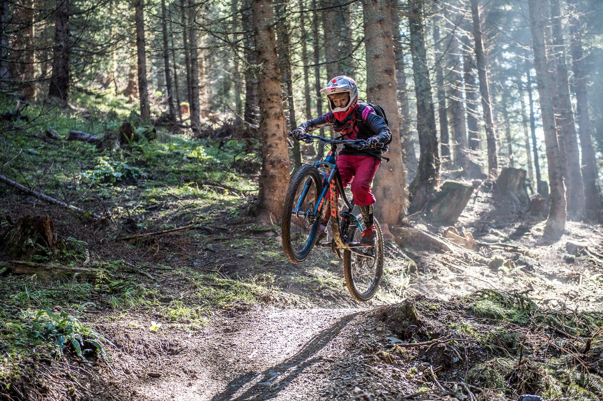
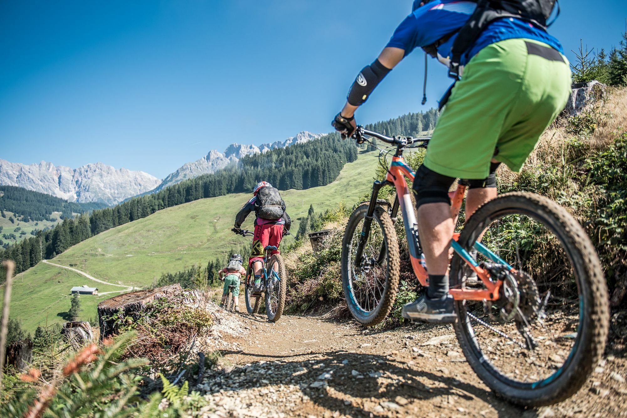
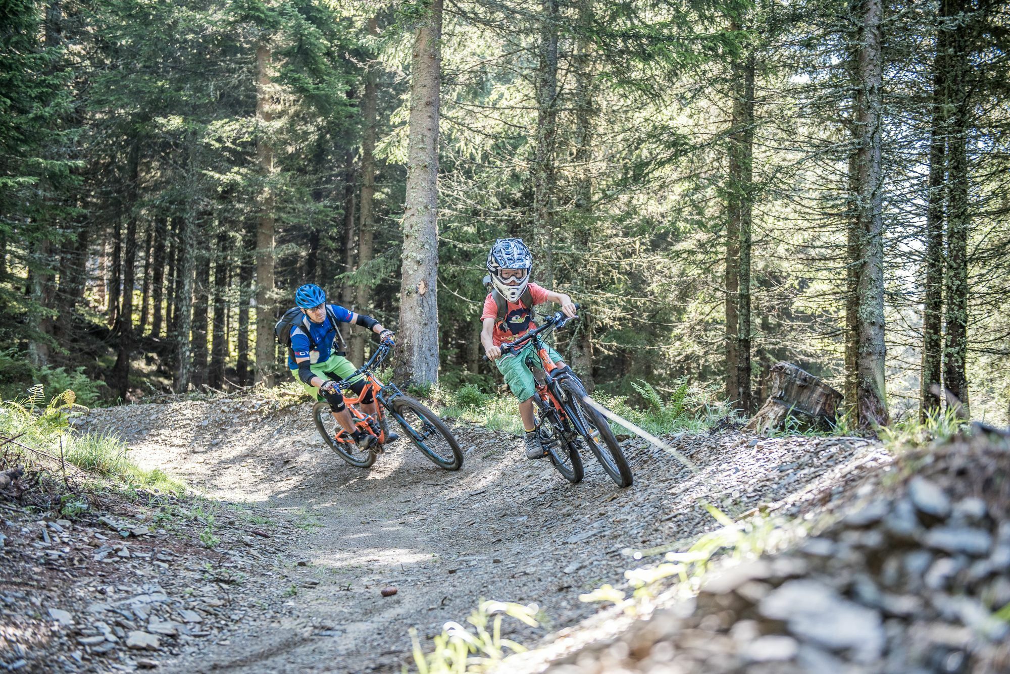
This starts at an altitude of 550 metres and winds a full 4.2 km downhill through meadows and forests. The Bürglalm 6-seater chairlift in Dienten takes you comfortably uphill and a spectacular view of the Salzburg mountains already awaits you on the ascent.An action-packed trail for the whole family starts from there. On the way to the day there are numerous obstacles and challenges to overcome, such as steep curves, waves and jumps.
Difficulty level 1-2 from 5
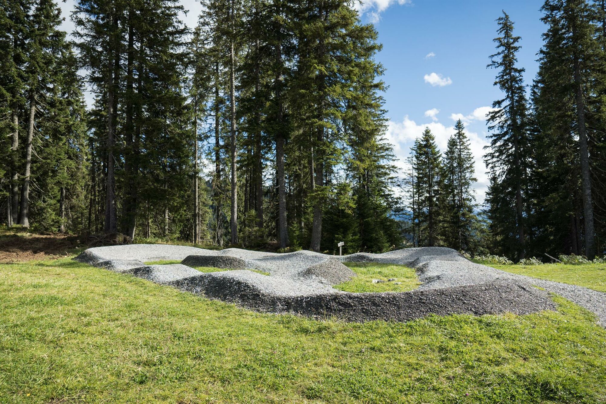
North Shore Line: 80m (38m bridges) Uphill: 178 mConnecting path: 58 m Rockgarden: 26m / 9m stone (1,6m wide) Flowline: 270 mPumptrack: 54 m
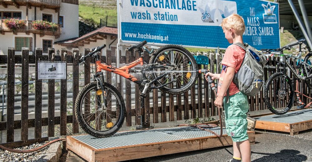
Right next to the Bürglalm cable car mountain station there is an MBT Skill Area, i.e. a practice area, with a pump track. Here all bikers can improve their skills and learn a lot of new things.This is what you can experience in the Hochkönig Skill Area: - Directions
-
The Hochkönig Flowtrail starts at the mountain station of the Bürglalm cable car - from there you first follow the hiking trail to the Bürglalm and continue towards the Hirscheggalm. Shortly after the storage pond at the Bürglalm, the flow trail starts downhill through the forest. Exciting trail for the whole family. The trail ends at the football pitch in Dienten, from where we cycle a leisurely 1.5 km back to the village.
- Highest point
- 1,644 m
- Endpoint
-
Football ground Dienten
- Height profile
-

- Equipment
-
Controlled bike equipment with helmet
Sunglasses
Sun protection
Rain protection
Drinks and a snack
Necessary medication
First aid kit
Bike map - Safety instructions
-
Fair play!
Drive only on marked paths! Close all gates, barriers and pasture gates! Observe the road traffic regulations! Overtake only at walking pace! Behave respectfully towards other nature users! and the forestry and hunting staff! Be considerate of animals! Do not leave waste in nature! Act responsibly! Check the weather forecast. Fog and bad weather can come surprisingly quickly.Emergency numbers: Alpine emergency call: 140
International emergency call: 122 - Tips
-
With the connecting path to the start, the Hochkönig Flow Trail is now a proud 5.5 km long and offers a truly flowing adventure in natural surroundings!
- Additional information
- Directions
-
Coming from Salzburg: Take the A10 freeway to the Bischofshofen exit, then take the B311 in the direction of Bischofshofen. Follow the Hochkönig Bundesstraße/B164 to Mühlbach and further to Dienten.
Coming from Innsbruck/ Kufstein: On the Loferer Straße/B178 in the direction of St. Johann i.T., then on the Hochkönig Bundesstraße/B164 via Saalfelden and Maria Alm to Dienten or to the Filzensattel.
A valid vignette is required to use the Austrian motorway and motorway network. It is also compulsory to carry a first-aid kit, warning triangle and high-visibility waistcoat. Further information can be found under Asfinag. - Public transportation
- Parking
-
Free parking at the Dienten Ski Centre
- Author
-
The tour Flow Trail Hochkönig - Skill Area/Pump Track (Tour 9) is used by outdooractive.com provided.


Surfaces
General info
-
Hochkönig
350
-
Dienten am Hochkönig
88