© Tourismusverband Wald-Königsleiten - Ferienregion Nationalpark Hohe Tauern - Tourismusverband Wald/Königsleiten

© Tourismusverband Wald-Königsleiten - Ferienregion Nationalpark Hohe Tauern - Tourismusverband Wald/Königsleiten

© Tourismusverband Wald-Königsleiten - Ferienregion Nationalpark Hohe Tauern - Tourismusverband Wald/Königsleiten

© Tourismusverband Wald-Königsleiten - Ferienregion Nationalpark Hohe Tauern - Tourismusverband Wald/Königsleiten

© Tourismusverband Wald-Königsleiten - Ferienregion Nationalpark Hohe Tauern - Tourismusverband Wald/Königsleiten

© Tourismusverband Wald-Königsleiten - Ferienregion Nationalpark Hohe Tauern - Tourismusverband Wald/Königsleiten
Tour data
16.4km
870
- 1,795m
901hm
152hm
03:00h
- Brief description
-
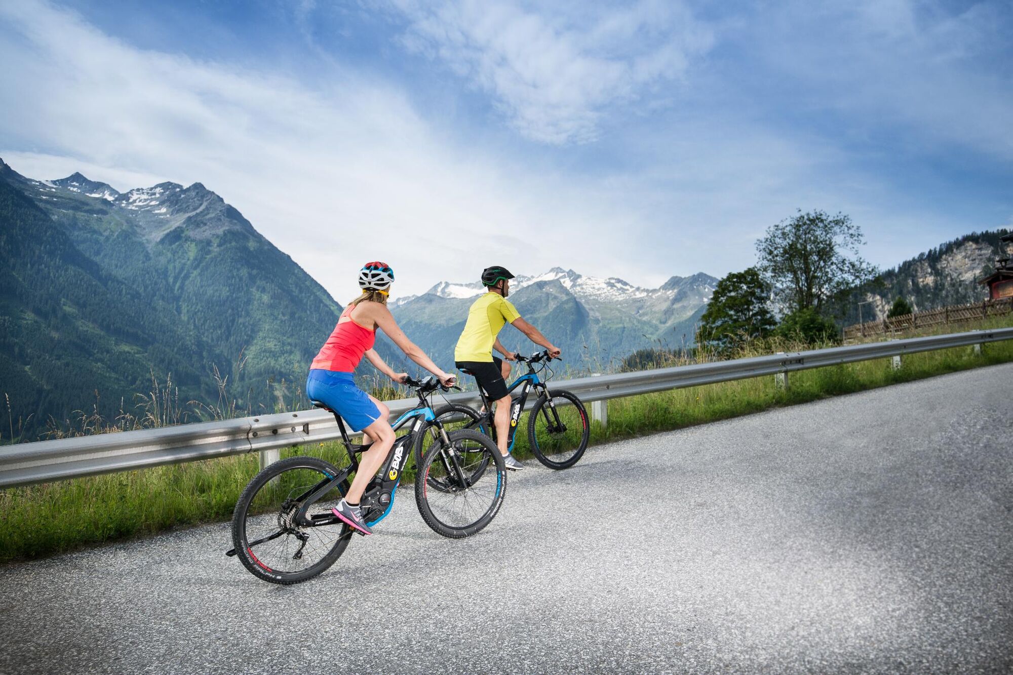
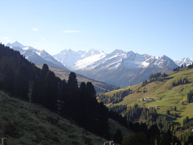
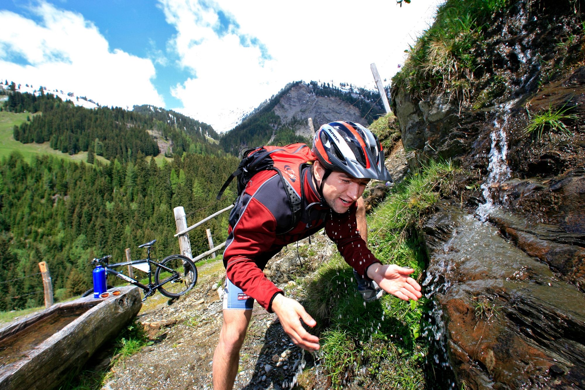
Tolle Mountainbiketour ins Salzachtal entlang des Quellenweges
- Difficulty
-
difficult
- Rating
-
- Route
-
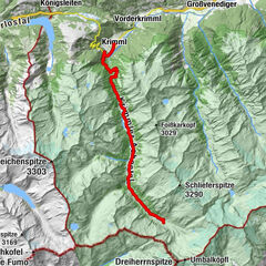
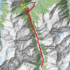
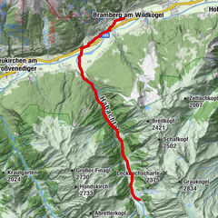
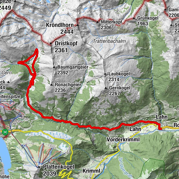
TrattenbachLahn0.3 kmWald im Pinzgau (855 m)0.3 kmRestaurant Walderwirt0.3 kmPfarrkirche St. Nikolaus0.5 kmRestaurant Kirchplatzl0.5 kmSixtuskapelle0.9 kmVorderwaldberg1.8 kmLahn1.9 kmFurtlehen3.2 kmSeiten3.8 kmUnterrankental5.8 kmOberrankental6.0 kmHinterwaldberg7.1 kmSalzachhütte10.7 kmSalzachhütte16.3 km
- Best season
-
JanFebMarAprMayJunJulAugSepOctNovDec
- Highest point
- 1,795 m
- Endpoint
-
Salzachalm
- Height profile
-

-

-
AuthorThe tour 2C Salzachalm is used by outdooractive.com provided.
GPS Downloads


General info
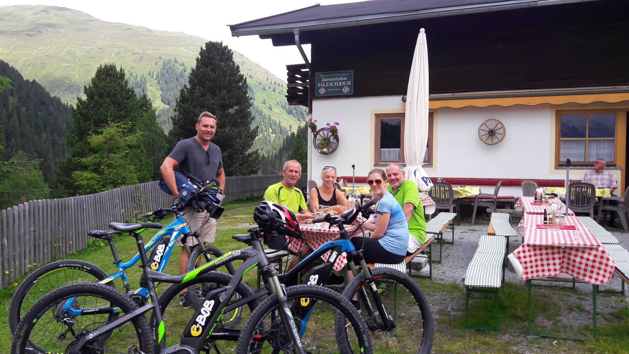
Refreshment stop
Other tours in the regions