


- Brief description
-
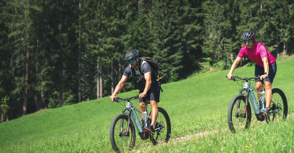
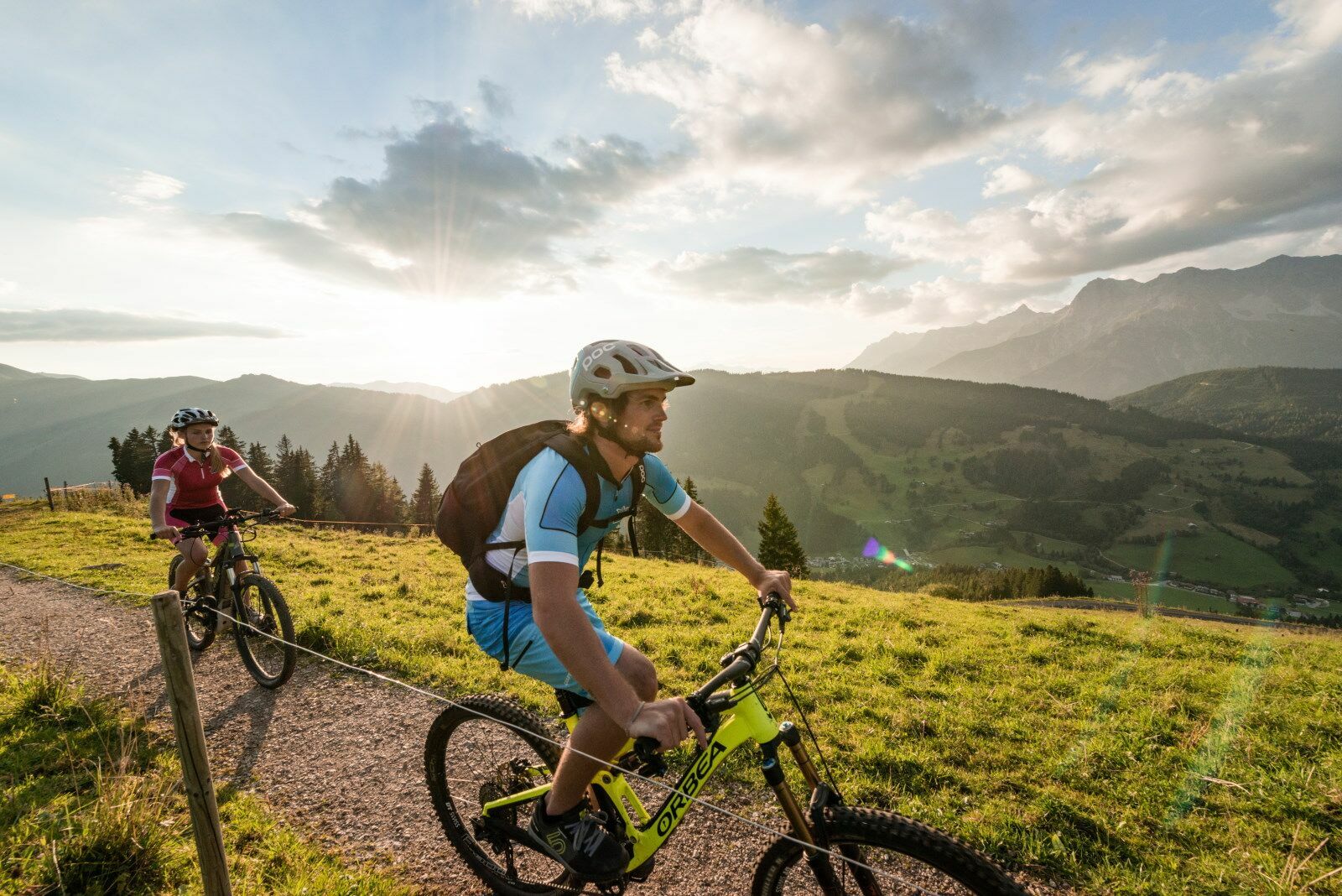
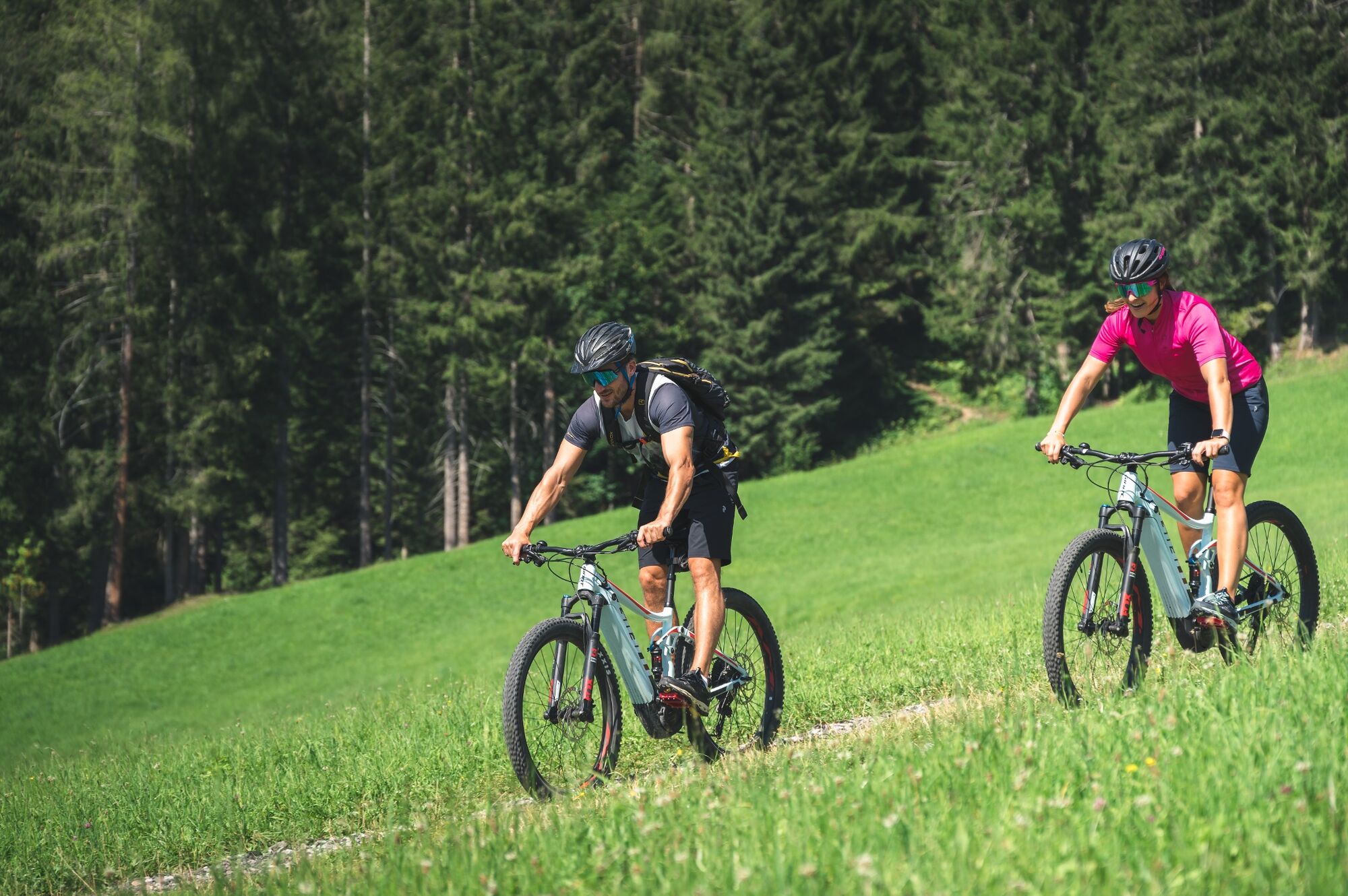
Medium difficulty bike tour over the Filzensattel to Gabühel in Dienten
- Difficulty
-
medium
- Rating
-
- Starting point
-
Ski centre Dienten
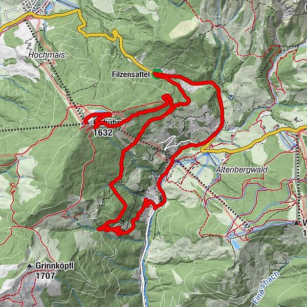
- Route
-
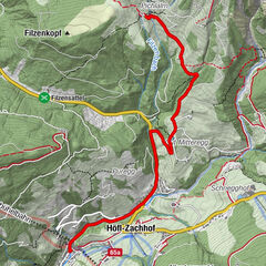
Dienten am HochkönigHöfl-Zachhof0.6 kmGabühel (1,632 m)6.9 kmSteinbockalm7.0 kmHochmais7.0 kmGrünegg Alm13.4 kmDienten am Hochkönig15.5 km
- Best season
-
JanFebMarAprMayJunJulAugSepOctNovDec
- Description
-
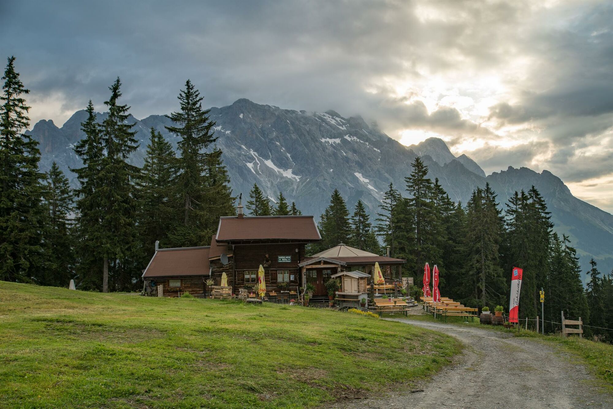
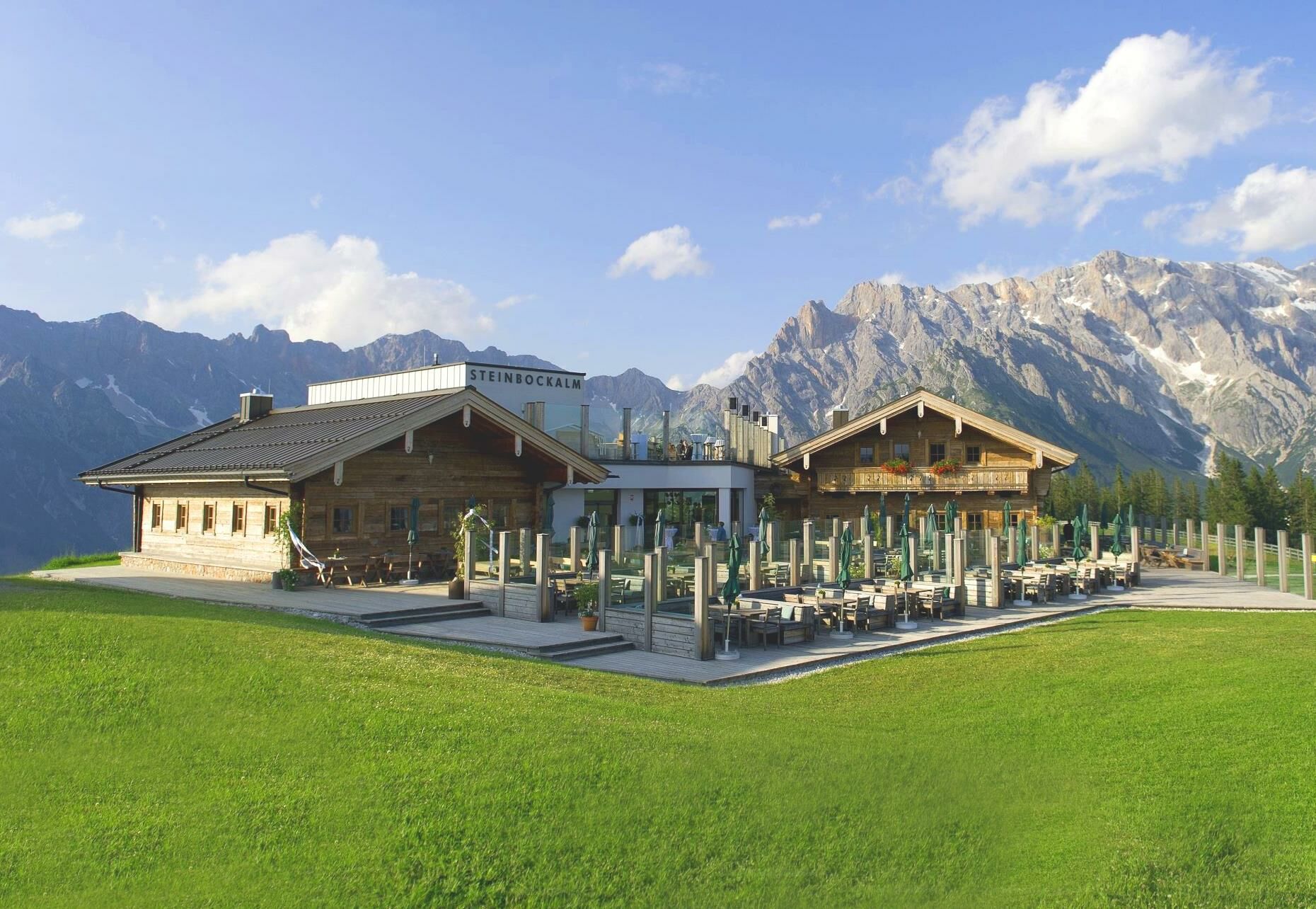
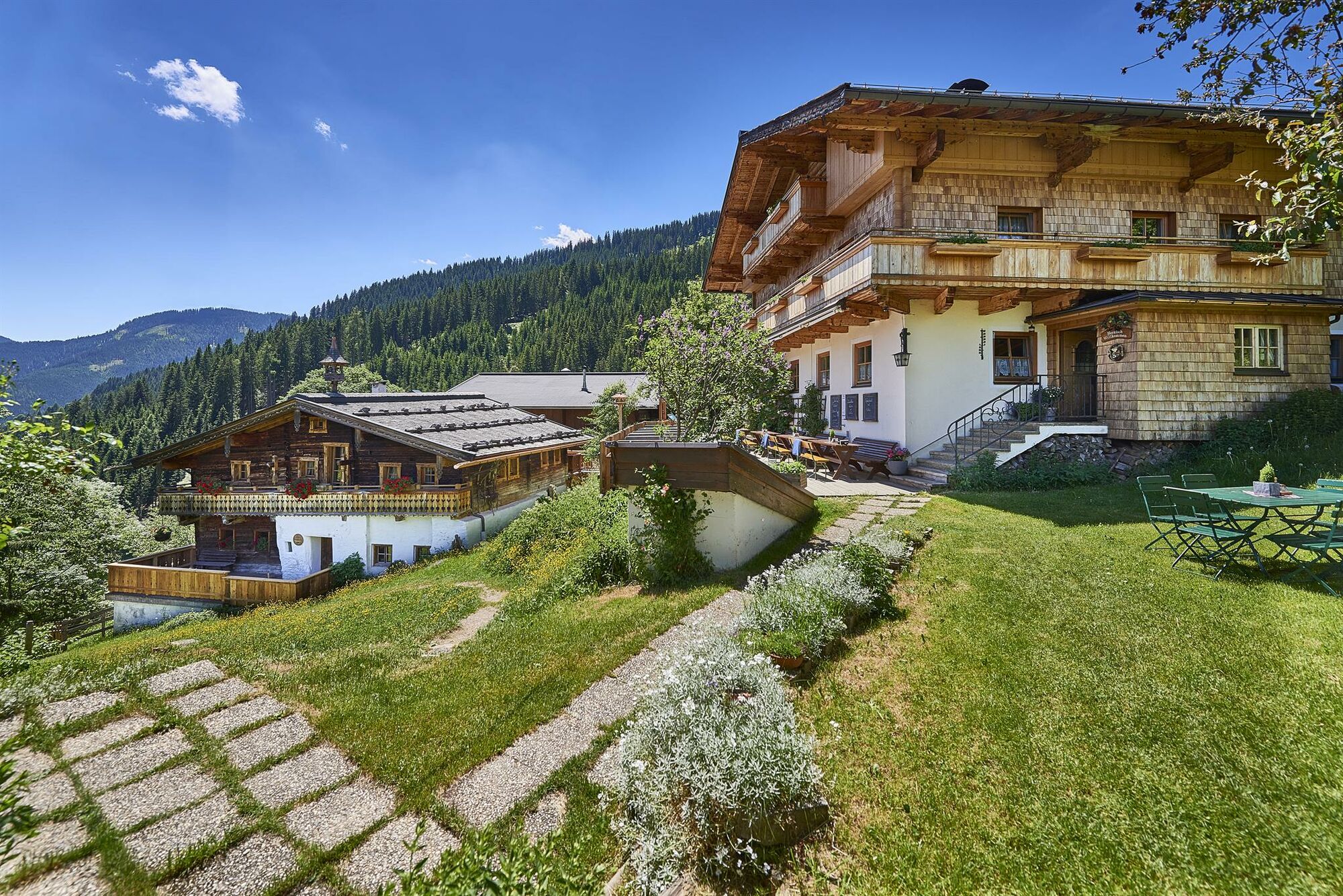
The Gabühelrunde takes us from the village centre of Dienten via the main road to the Filzensattel. We take the forest path to the Steinbock and the Gabühel hut. After a break, we continue along a forest path to the Grünegg Alm and back to the valley along the goods road.
- Directions
-
Simply follow the signs "DI 01 Gabühel-Runde"
From the village of Dienten/Ski Centre (MTB, eBike hire and eBike filling station), follow the Dientner Landesstraße (L216) and the main road (B164) in the direction of Maria Alm / Saalfelden up to the Filzensattel. Here, at the highest point, we turn left onto the Neuberg forest road in the direction of Gabühel/Grünegg and follow this until the Gabühel junction, where we turn right and follow the path to the rustic Gabühelhütte and the Steinbockalm (eBike petrol station) 300 m away. From there, we take the same route back to the junction. There we turn right to get to the Grünegg Alm (eBike petrol station). From this mountain pasture, we take the tarmac road down into the valley to the Dientner Landesstraße. At the road we turn left and after a few minutes we reach our starting point again. - Highest point
- 1,625 m
- Endpoint
-
Ski centre Dienten
- Height profile
-

- Equipment
-
Controlled bike equipment with helmet
Sunglasses
Sun protection
Rain protection
Drinks and a snack
Necessary medication
First aid kit
Bike map - Safety instructions
-
Fair play!
Drive only on marked paths! Close all gates, barriers and pasture gates! Observe the road traffic regulations! Overtake only at walking pace! Behave respectfully towards other nature users! and the forestry and hunting staff! Be considerate of animals! Do not leave waste in nature! Act responsibly! Check the weather forecast. Fog and bad weather can come surprisingly quickly.Emergency numbers: Alpine emergency call: 140
International emergency call: 122 - Tips
-
The panorama with view of the Hochkönig between the Gabühel and the Steinbockalm
- Additional information
- Directions
-
Coming from Salzburg: Take the A10 freeway to the Bischofshofen exit, then take the B311 in the direction of Bischofshofen. Follow the Hochkönig Bundesstraße/B164 to Mühlbach and further to Dienten.
Coming from Innsbruck/ Kufstein: On the Loferer Straße/B178 in the direction of St. Johann i.T., then on the Hochkönig Bundesstraße/B164 via Saalfelden and Maria Alm to Dienten or to the Filzensattel.
A valid vignette is required to use the Austrian motorway and motorway network. It is also compulsory to carry a first-aid kit, warning triangle and high-visibility waistcoat. Further information can be found under Asfinag. - Public transportation
- Parking
-
Free parking at the Dienten Ski Centre
- Author
-
The tour MTB Tour - Gabühel round (Tour 1) is used by outdooractive.com provided.


General info
-
Hochkönig
357
-
Dienten am Hochkönig
88