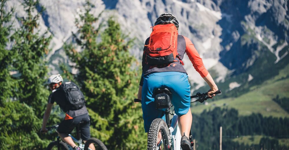


- Brief description
-
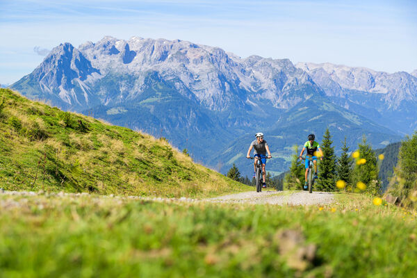
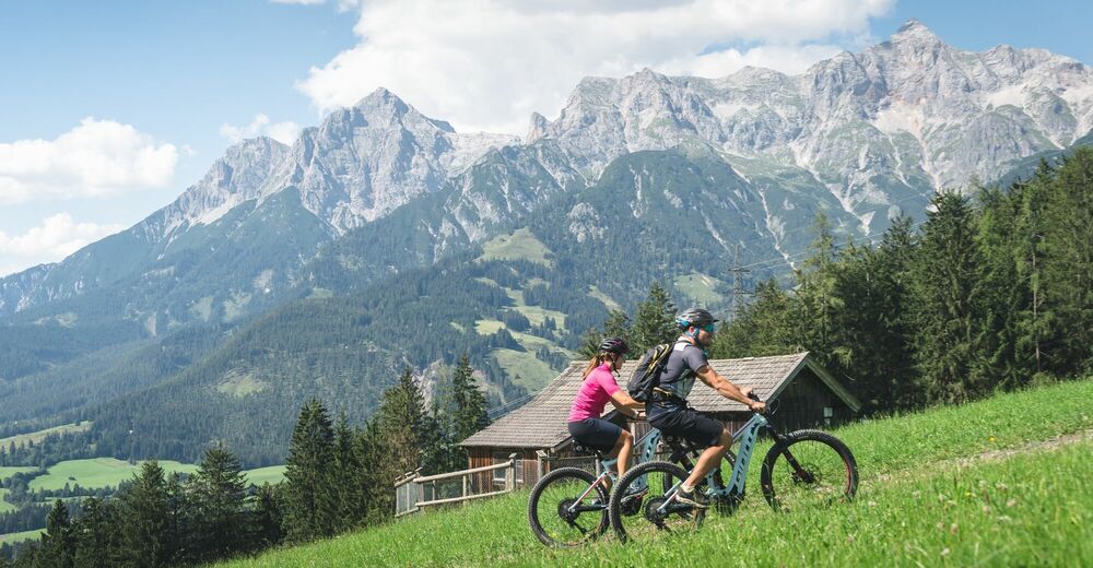
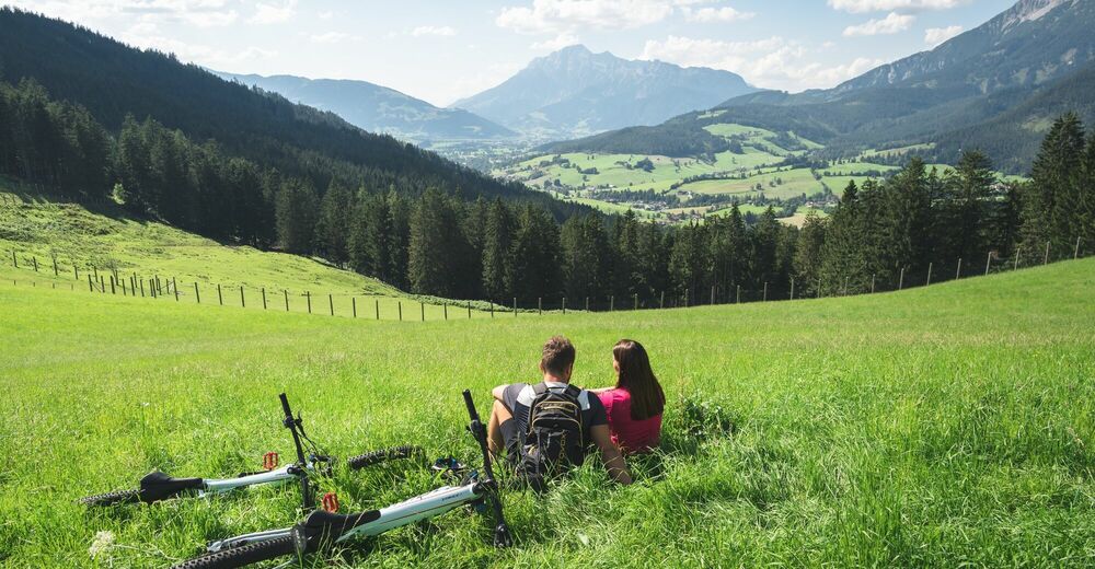
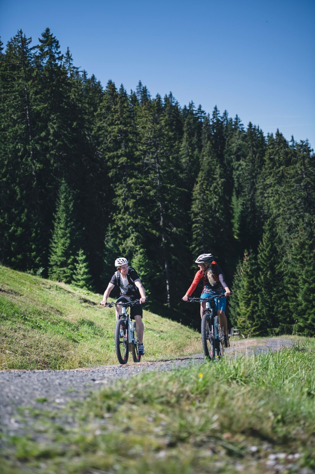
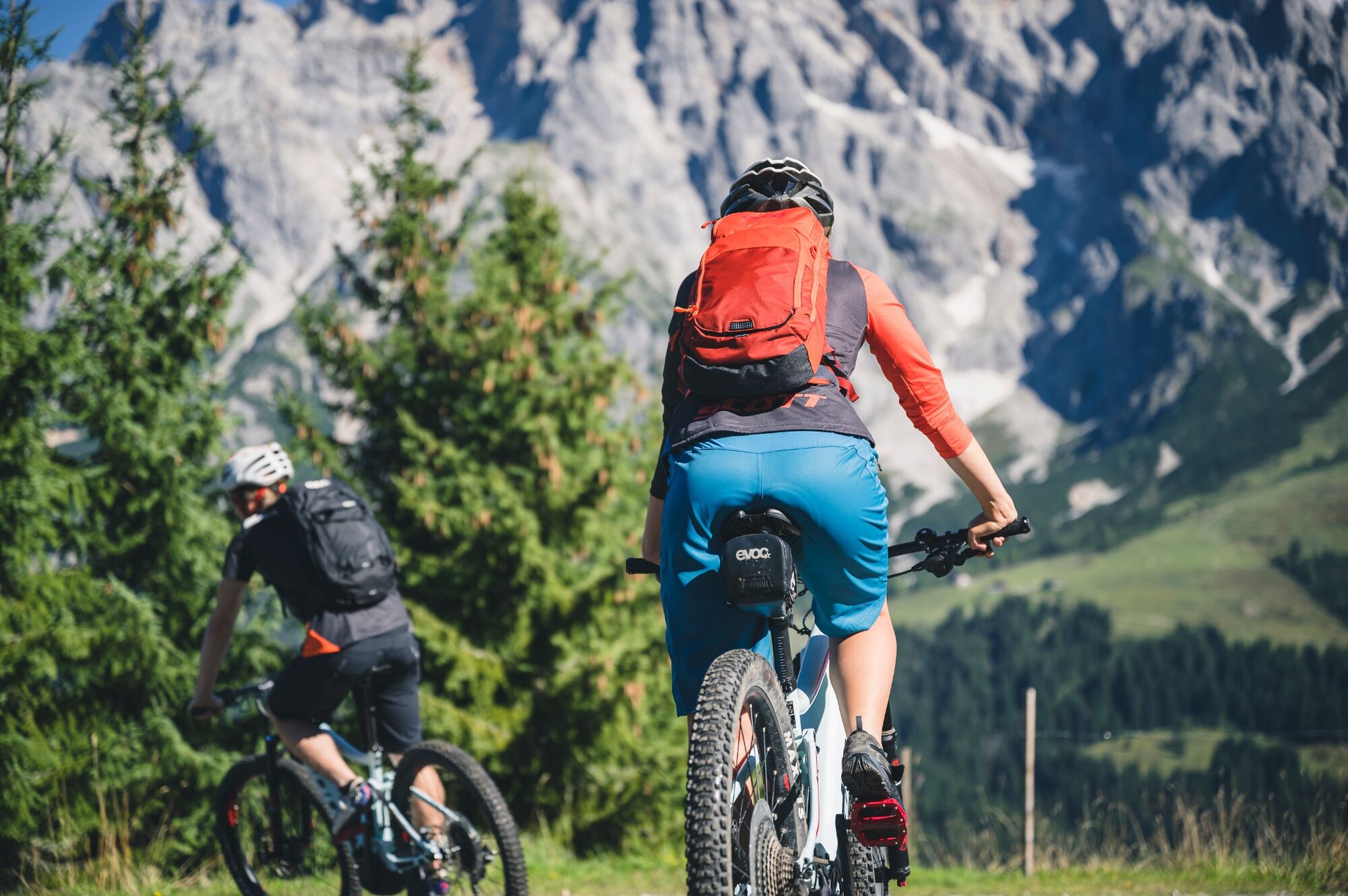
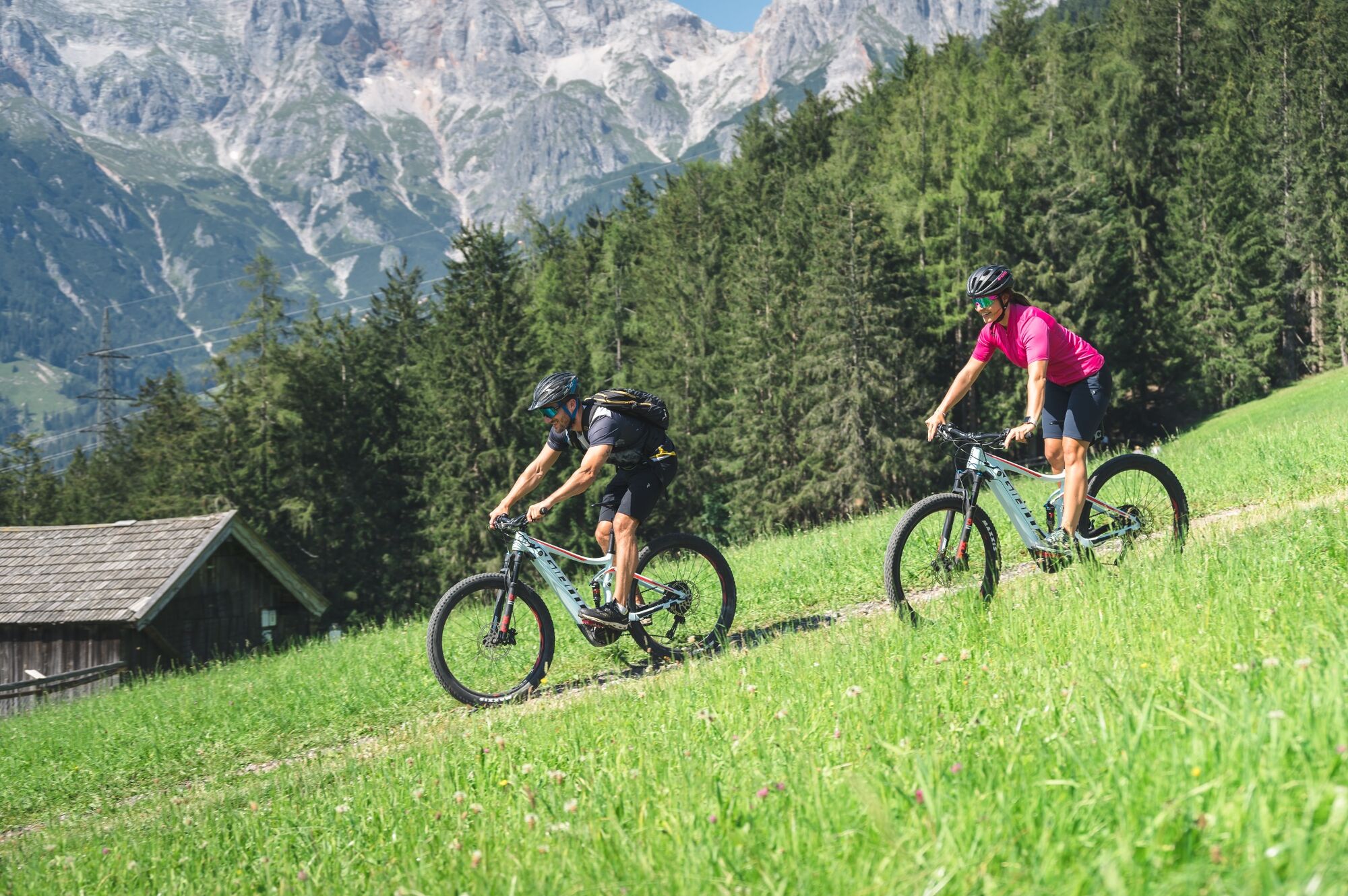
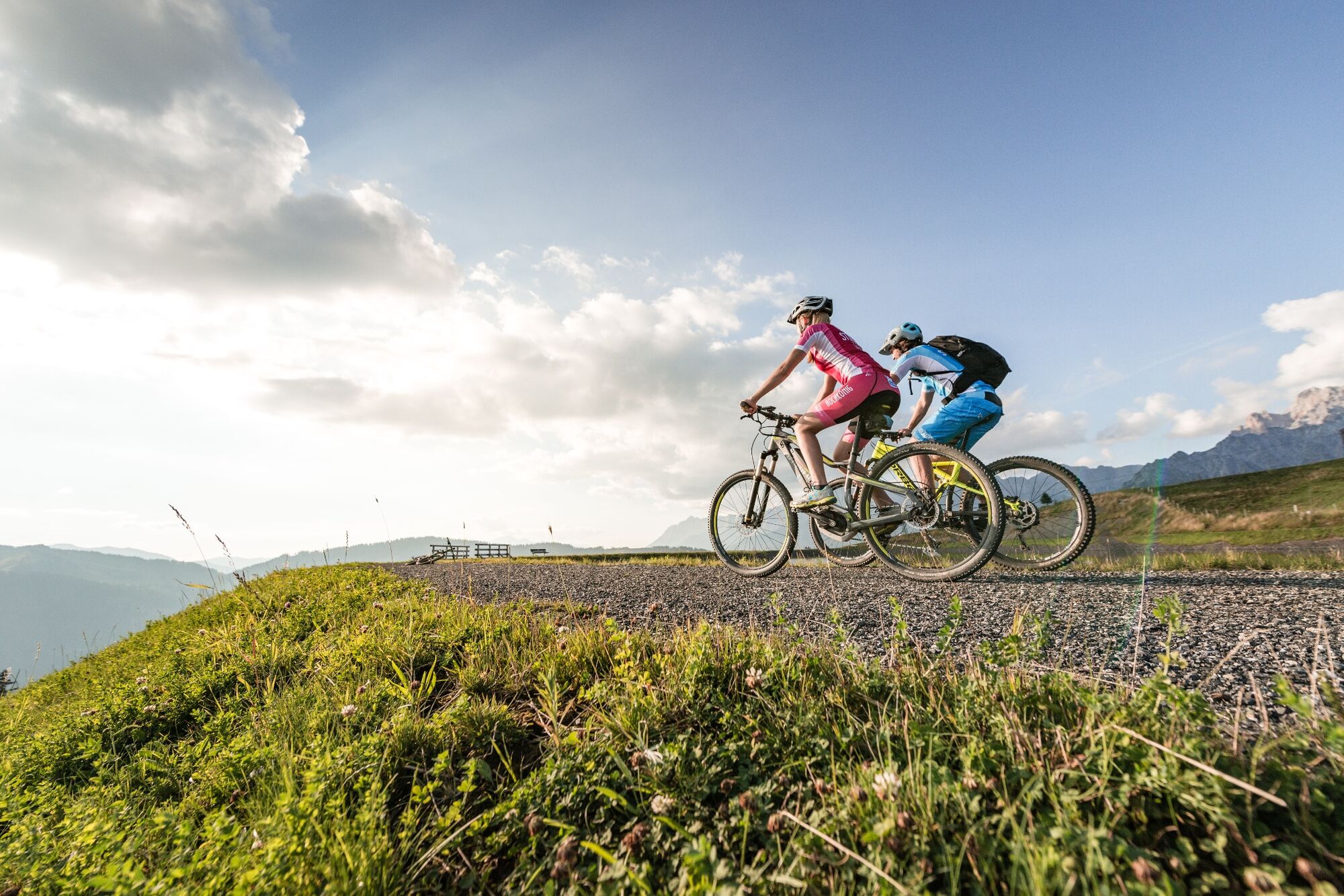
This unique and demanding tour leads around the mountain ranges Watzmann and Hochkönig.
- Difficulty
-
difficult
- Rating
-
- Starting point
-
Saalfelden
- Route
-
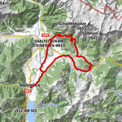
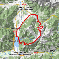
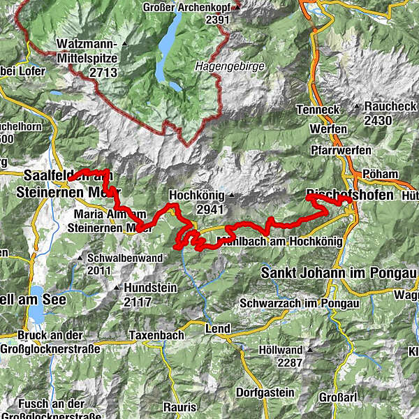
Saalfelden am Steinernen Meer (748 m)Obsmarkt0.2 kmRiemannshöhe4.2 kmHochreitshöhe7.9 kmKronreithhof8.9 kmGriesbachwinkl10.9 kmGasthaus Waldhaus12.7 kmEnterwinkl12.8 kmJufenalm15.0 kmBirnbach19.8 kmHinterthal21.2 kmKath. Pfarrkirche hl. Dreifaltigkeit21.3 kmGrünegg Alm29.3 kmDienten am Hochkönig31.5 kmHöfl-Zachhof33.1 kmBürglalm37.6 kmWastlhöhe (1,737 m)39.0 kmZachhofalm39.2 kmTiergartenalm42.0 kmDientalm43.6 kmMittereggalm43.8 kmBirgkarhaus43.8 kmHaidberg57.3 kmGainfeld62.7 kmRupertuskapelle64.1 kmLaideregg65.6 kmBischofshofen66.7 kmLiebfrauenkirche67.0 kmGeorgikirchlein67.0 km
- Best season
-
JanFebMarAprMayJunJulAugSepOctNovDec
- Description
-
This unique and challenging circuit, brought to life in 2009, leads around the Watzmann and Hochkönig mountain ranges. On the five stages of the southern route, which also leads through the Hochkönig region, 7,975 meters of altitude difference have to be overcome.
- Directions
-
Coming from Saalfelden, drive along Lichtenbergstraße (district of Obsmarkt) up towards the Gymnasium. Continue along the Kalmbach stream for a while - towards Hochreith / Kronreith (e-bike filling station) and the Grießbachwinkel to Maria Alm. At the Grießbach bridge, keep left towards Krallerwinkel until you reach the Waldhaus. There, keep right at the fork and head up to Gasthof Jufen (e-bike filling station). At the top, go downhill for a bit to Hintermoos - here continue left along the main road. After about 2.5 km, keep to the right and cross the Urslau. Now you ride along parallel to the Urlsau until you reach the Hochmaisbahn. From there, continue into the village of Hinterthal (e-bike filling station at Landhotel Schafhuber) towards the church. Just before the church, turn right uphill to Gasthof Obermussbach. Then take the path on the right up to the Filzensattel. From there, turn right onto the forest path towards Grünegg (refreshment stop, e-bike filling station, mountain farm museum). From the Grünegg, take the goods road downhill to the village of Dienten (e-bike filling station at the Skizentrum Dienten). Continue along the main road to the turn-off for the main road in the direction of Mühlbach/Bischofshofen. After approx. 0.5 km turn right onto the forest road "Altenberg" and follow this for approx. 4 km to the Bürglalm (refreshment stop). From Bürglalm continue to Wastlhöhe and slightly downhill to Sunnhüttl (not managed). From Sunnhüttl, the trail continues steeply downhill via the Tiergartenalm (refreshments available) to the Dientalm (refreshments available). At the Mittereggalm (refreshments available) turn right onto the Hochkönig Bundesstrasse, which you follow for approx. 3 km to the Elmaugut adventure farm. After Elmaugut, turn left into Viererwasch and follow the mountain bike signs to Schrammbach, up the stream to the power station. Follow the path on the other side of the stream uphill for about 350 m, then turn left uphill, after about 800 m you reach an asphalt road via wooden steps. Turn right here and pass the Hochkönig sports hall until you reach Mandlwandstrasse, follow this road for about 300 m in the direction of Arthurhaus, then turn right under Sonneck into the forest road. Now continue downhill for the next 10 km to Bischofshofen.
- Highest point
- 1,745 m
- Endpoint
-
Bischofshofen
- Height profile
-

- Equipment
-
Controlled bike equipment with helmet
Sunglasses
Sun protection
Rain protection
Drinks and a snack
Necessary medication
First aid kit
Bike map - Safety instructions
-
Fair play!
Drive only on marked paths! Close all gates, barriers and pasture gates! Observe the road traffic regulations! Overtake only at walking pace! Behave respectfully towards other nature users! and the forestry and hunting staff! Be considerate of animals! Do not leave waste in nature! Act responsibly! Check the weather forecast. Fog and bad weather can come surprisingly quickly.Emergency numbers: Alpine emergency call: 140
International emergency call: 122 - Tips
-
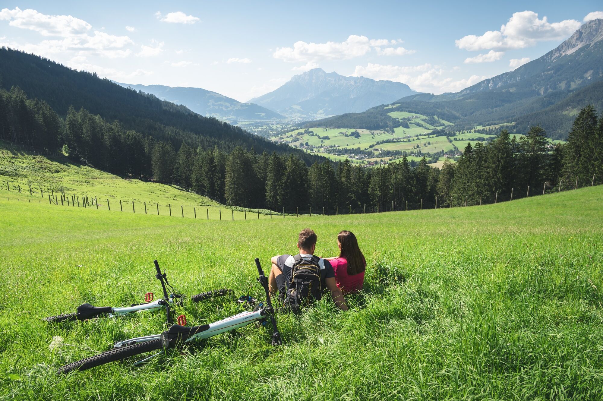
The "Flow-Trail Hochkönig" in Dienten and the Flow Trail "Flow One" in Maria Alm can be easily integrated into the Watzmann-Hochkönig-Round.
- Additional information
- Directions
-
Coming from Salzburg: Take the A10 motorway to the Bischofshofen exit, then take the B311 towards Bischofshofen. Follow the Hochkönig Bundesstraße/B164 to Maria Alm and continue to Saalfelden.
Coming from Innsbruck/ Kufstein: Take the Loferer Straße/B178 towards St. Johann i.T., then follow the Hochkönig Bundesstraße/B164 to Saalfelden.
A valid vignette is required to use the Austrian motorway and motorway network. It is also compulsory to carry a first-aid kit, warning triangle and warning waistcoat. Further information can be found under Asfinag. - Public transportation
- Parking
-
You will find free parking in each of the villages


- Author
-
The tour MTB Tour - Watzmann Hochkönig Round is used by outdooractive.com provided.


General info
-
Hochkönig
350
-
Dienten am Hochkönig
88