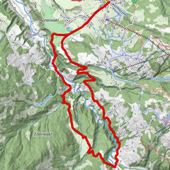
Bramberg: 4D Baumgartenalm

Logo Bramberg: 4D Baumgartenalm
Tour data
10.17km
815 - 1,400m
Distance
594hm
67hm
Ascent
02:00h
 
Duration
Brief description

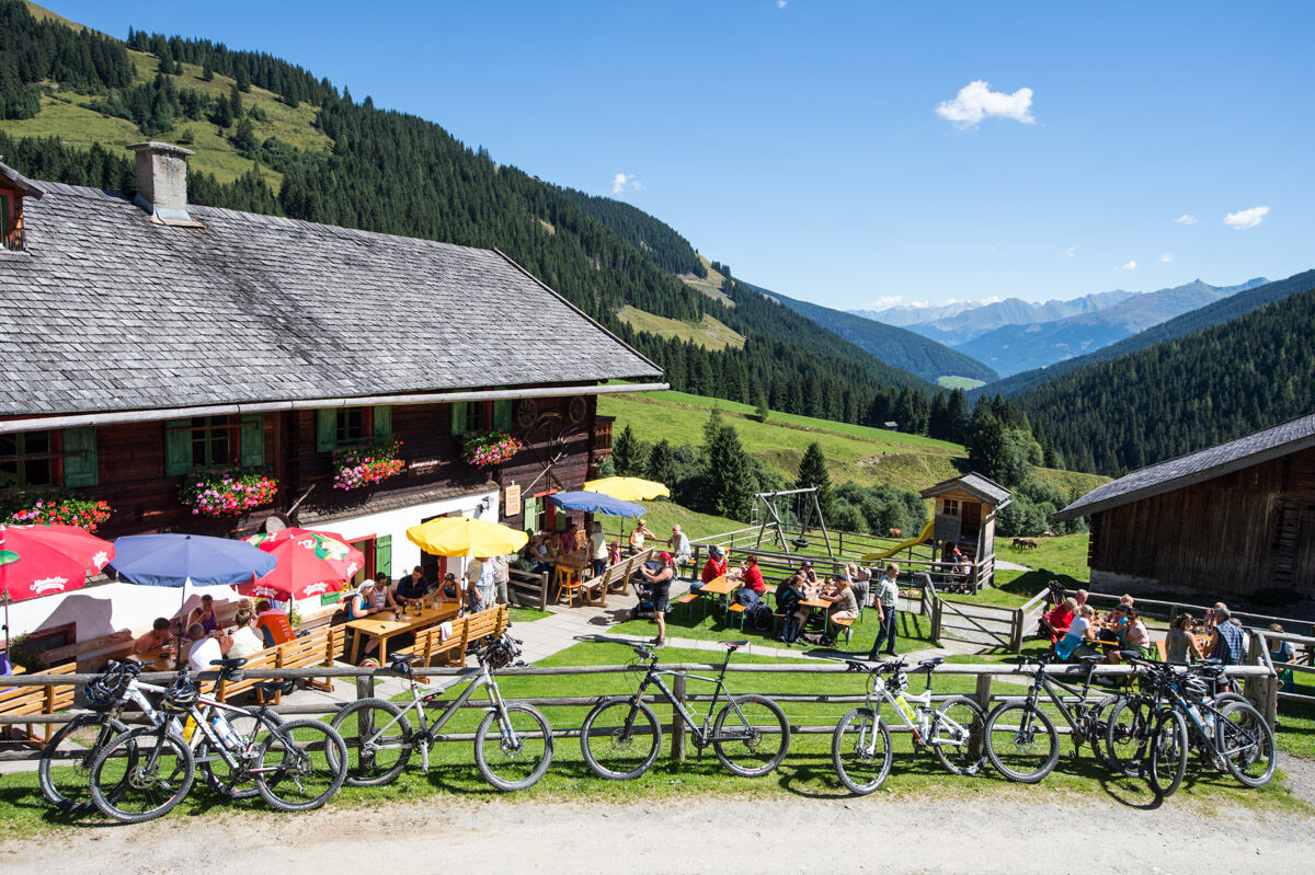
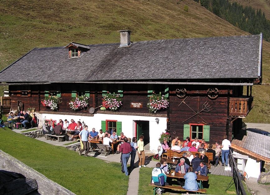
Bramberg - Güterweg Entscharrn - Oberaugut - Mühlbachtal/Baumgartenalm

Difficulty
medium
Rating
Technique
Fitness
Landscape
Experience
Route
Bramberg am Wildkogel
Sonnberg
2.5 km
Geislhof
2.7 km
Bergkristall
3.1 km
Baumgartenalm
10.1 km


Best season
Jan
Feb
Mar
Apr
May
Jun
Jul
Aug
Sep
Oct
Nov
Dec
Highest point
1,400 m
Endpoint

Baumgartenalm / Mühlbachtal

Height profile

Directions


Author
The tour Bramberg: 4D Baumgartenalm is used by outdooractive.com provided.

Overall rating

5

0

%

4

0

%

3

0

%

2

0

%

1

0

%

Error
An error has occurred. Please try again.
Thank you for your review

Rating has been deleted

GPS Downloads
  • GPX GPS Exchange Format (XML)
  • KML Google Earth, Google Maps
QR Download Codes for Mobile Phones

General info

Refreshment stop
A lot of view
Other tours in the regions

Popular tours in the area

Krimmler Achental

medium Mountainbike
20.31km | 669hm | 03:00h

Route 208: Windautal - Rotwandalm/Filzenscharte

difficult Mountainbike
22.78km | 1052hm | 02:30h

Route 207: Jägerhäusl - Straubing - Westendorf

easy Mountainbike
14.45km | 220hm | 01:30h

Paß Thurn: Auf den 2000er

Mountainbike
9.42km | 731hm | 03:00h