© Tourismusverband Piesendorf Niedernsill - Ferienregion Nationalpark Hohe Tauern - Tourismusverband Piesendorf Niedernsill

© Tourismusverband Piesendorf Niedernsill - Ferienregion Nationalpark Hohe Tauern - Tourismusverband Piesendorf Niedernsill

© Tourismusverband Piesendorf Niedernsill - Ferienregion Nationalpark Hohe Tauern - Tourismusverband Piesendorf Niedernsill

© Tourismusverband Piesendorf Niedernsill - Ferienregion Nationalpark Hohe Tauern - Tourismusverband Piesendorf Niedernsill
- Brief description
-
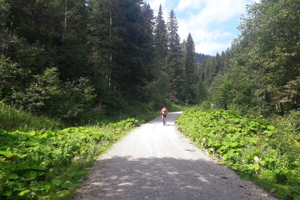
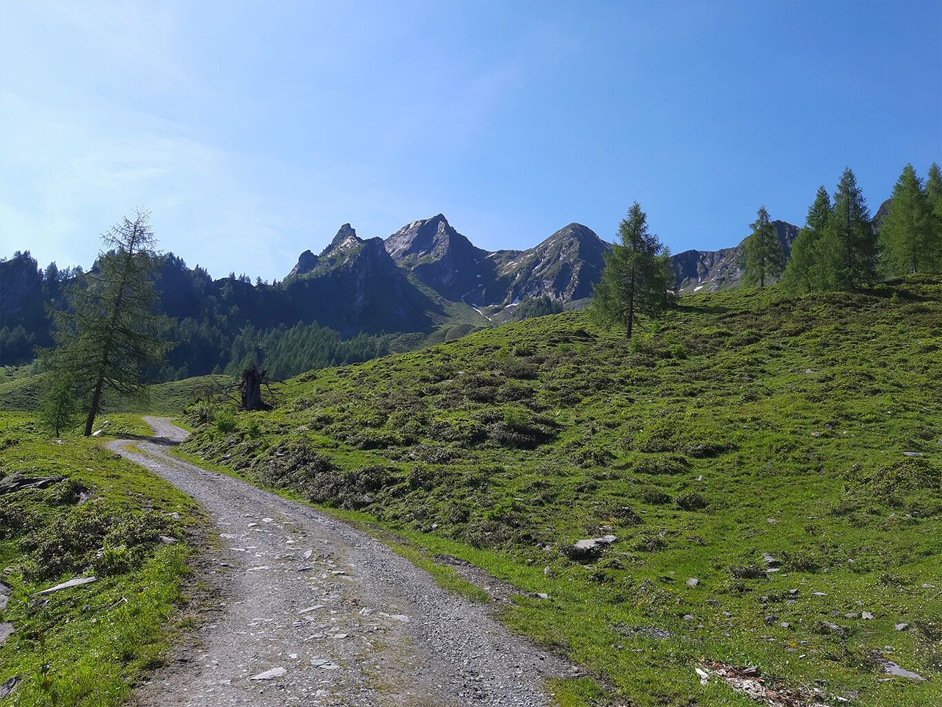
A tour with experience factor: by mountain bike or e-bike from Bruck an der Glocknerstraße to the Erlhofalm at the foot of the Drei Brüder.
- Difficulty
-
medium
- Rating
-
- Starting point
-
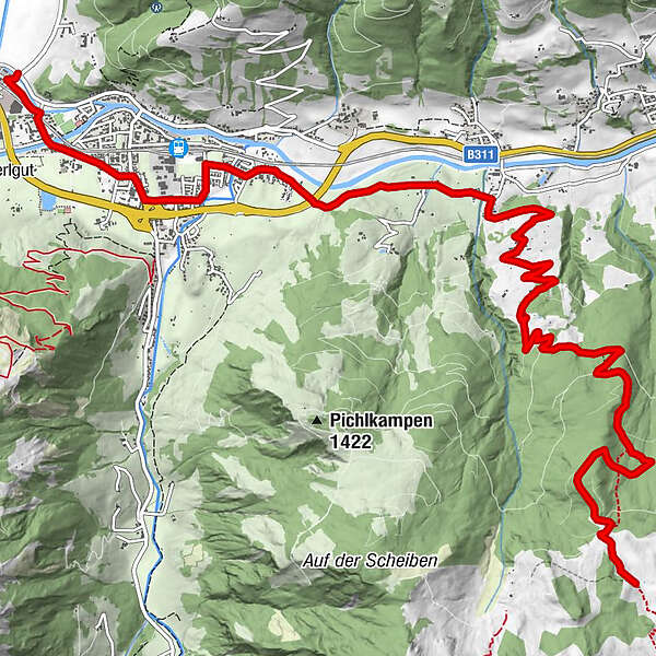
Bruck
- Route
-
Krössenbach1.4 kmBruck an der Großglocknerstraße1.5 kmErlhofalm12.6 km
- Best season
-
JanFebMarAprMayJunJulAugSepOctNovDec
- Description
-
A wonderful alpine pasture landscape with beautiful alpine roses and larches awaits you. After almost 900 metres of altitude difference you can enjoy the view of the Erlhofalm and the peaks of the Drei Brüder. But trust us - it's worth it!
- Directions
-
From Bruck follow the well-signposted Tauern Cycle Path in the direction of Taxenbach. After about 3 kilometres turn right at Niederhof. From here, the path climbs up through a series of bends, following the signs to the Erlhofalm.
The way back is via the same route.
- Highest point
- 1,653 m
- Endpoint
-
Erlhofalm (not managed)
- Height profile
-

- Safety instructions
-
Stay on the marked routes!
The common rules of conduct provide that the forest and pastures will continue to offer a unique recreational living and working area for all in the future.
Your behaviour influences public opinion and tolerance.
ATTENTION! For the hike to the summits, surefootedness and a head for heights are required!
- Tips
-
A hike to the summits of the Drei Brüder with the Breitkopf 2,251 m, Schafelkopf 2,266 m & Stolzkopf 2,158 m will enrich your tour!
- Additional information
- Directions
-
By mountain bike: From Piesendorf Niedernsill follow the well-marked Tauern Cycle Path to Bruck.
- Public transportation
-

-
AuthorThe tour 12E Erlhofalm is used by outdooractive.com provided.
GPS Downloads


General info
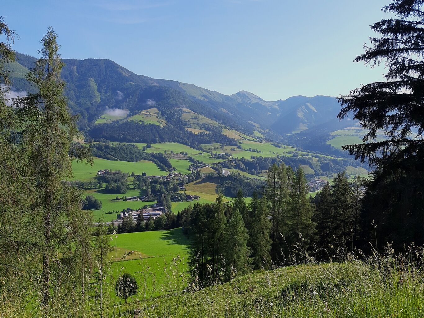
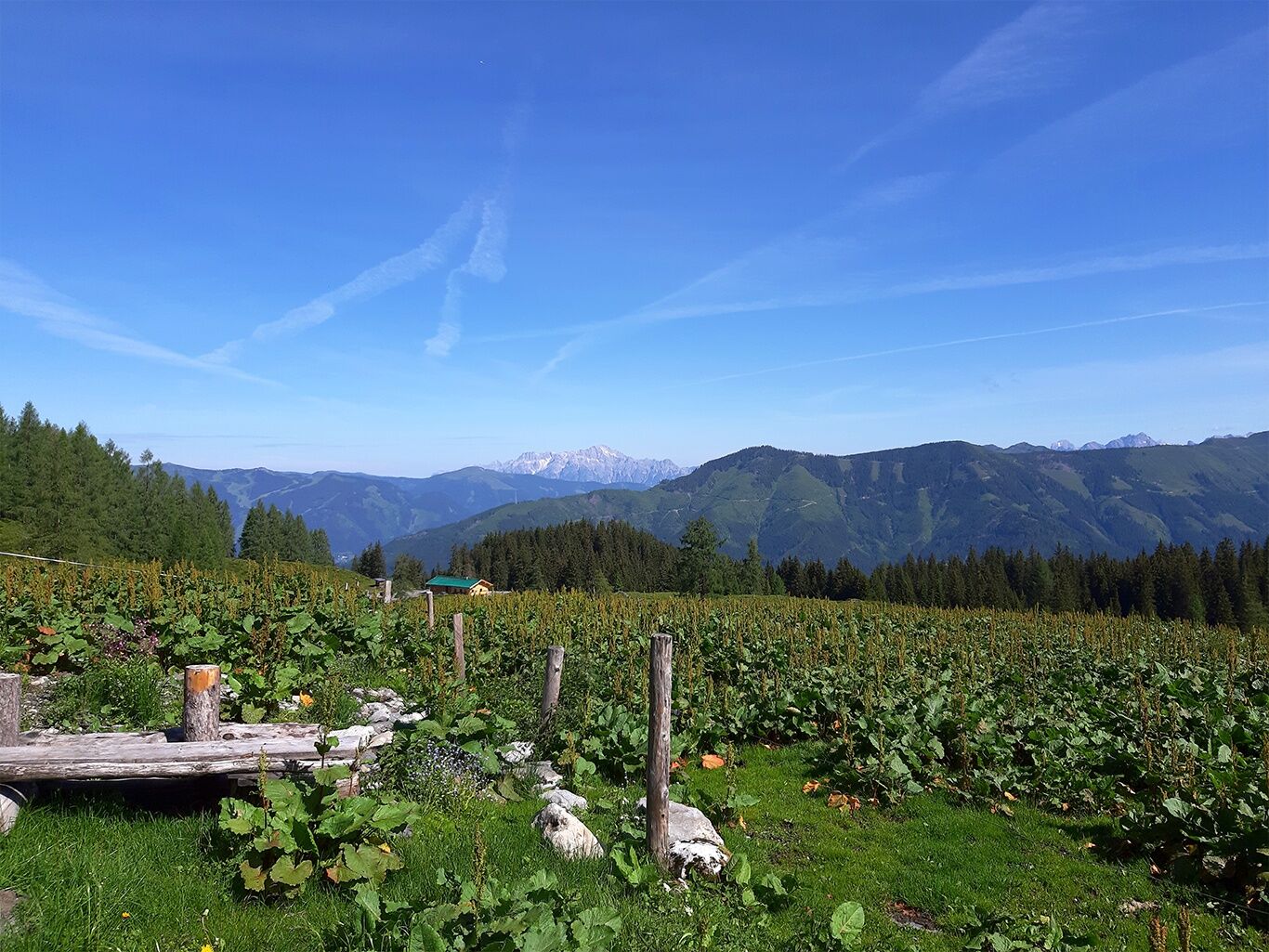
A lot of view
Other tours in the regions