© Tourismusverband Piesendorf Niedernsill - Ferienregion Nationalpark Hohe Tauern
- Brief description
-
Intermediate mountain bike tour with great panoramic views of Lake Zell and the surrounding mountains!
- Difficulty
-
medium
- Rating
-
- Starting point
-
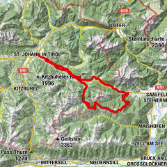
Bruck
- Route
-
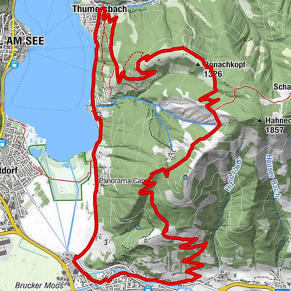
Bruck an der Großglocknerstraße1.3 kmHl. Maria1.5 kmErlhofplatte8.3 kmEnzianhütte12.2 kmThumersbach17.0 kmLohninghof17.0 kmBellevue17.6 kmSonnhof18.0 kmErlberg18.6 km
- Best season
-
JanFebMarAprMayJunJulAugSepOctNovDec
- Description
-
The tour of the Erlhofplatte is another classic and a great tour that not only rewards you with beautiful lake panoramas, but also offers great swimming and refreshment stops.
- Directions
-
From the starting point, cycle towards Gasthof Lukashansl and turn right immediately after the bridge. Shortly after, turn left uphill towards Taxhof and Erlhofplatte. Follow the signs for 12A to the Hundstein junction. From the highest point of the tour, descend past the „Ronachbauer“ to the Enzianhütte and on to Thumersbach. Finally the tour heads south along the Lake Zell back to the starting point in Bruck.
The tour can also be cycled in the opposite direction.
- Highest point
- 1,493 m
- Endpoint
-
Bruck
- Height profile
-

- Safety instructions
- Tips
-
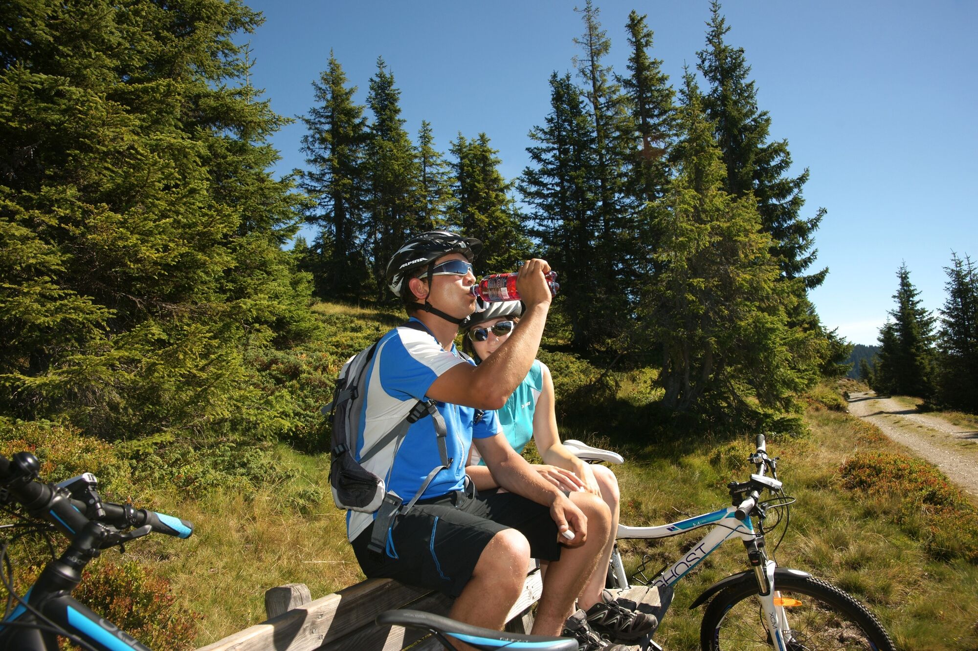
Pack your swimsuit and take a dip in the cool waters.
- Additional information
- Directions
-
By mountain bike: From Piesendorf Niedernsill follow the well-marked Tauern Cycle Path to Bruck.
- Public transportation
-

-
AuthorThe tour ZE6 Erlhofplatten-Tour is used by outdooractive.com provided.
GPS Downloads


General info
Refreshment stop
A lot of view
Other tours in the regions