© Tourismusverband Piesendorf Niedernsill - Ferienregion Nationalpark Hohe Tauern - Tourismusverband Piesendorf Niedernsill

© (c)lamplhäusl.at
© (c)lamplhäusl.at
- Brief description
-
The mountain bike tour to the Kammerer Grundalm is an ideal introduction to the variety of tours in the Bruck and Fusch region.
- Difficulty
-
medium
- Rating
-
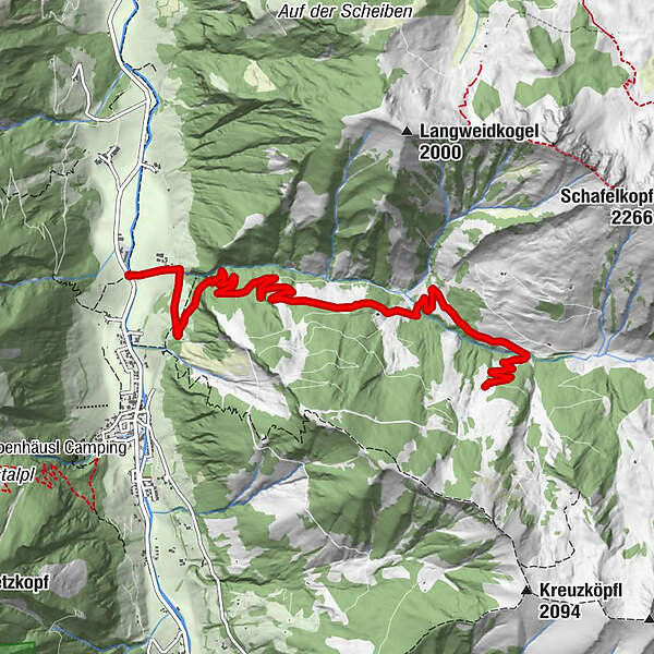
- Starting point
-
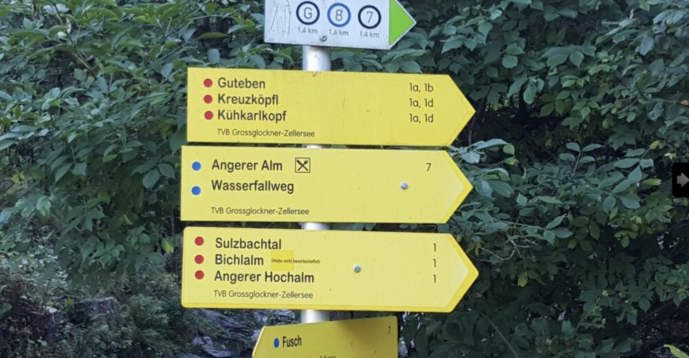
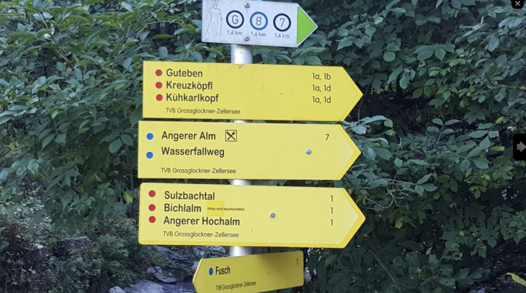
Junction Tauern Cycle Path Fusch/Sulzbachtal
- Route
-
Bichlalm (Badhausalm)7.0 km
- Best season
-
JanFebMarAprMayJunJulAugSepOctNovDec
- Description
-
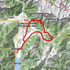
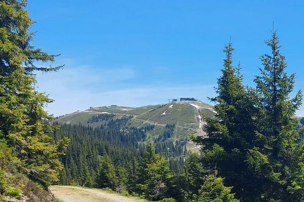
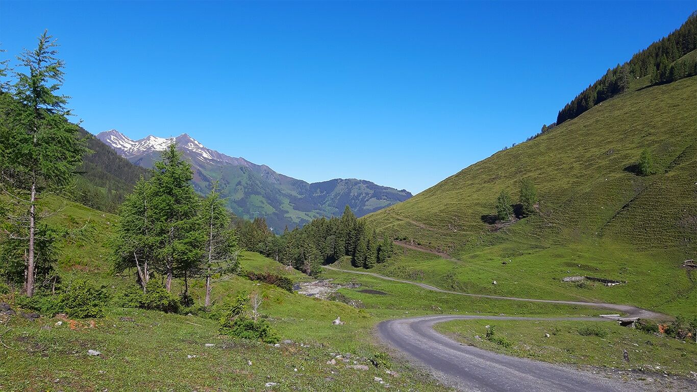
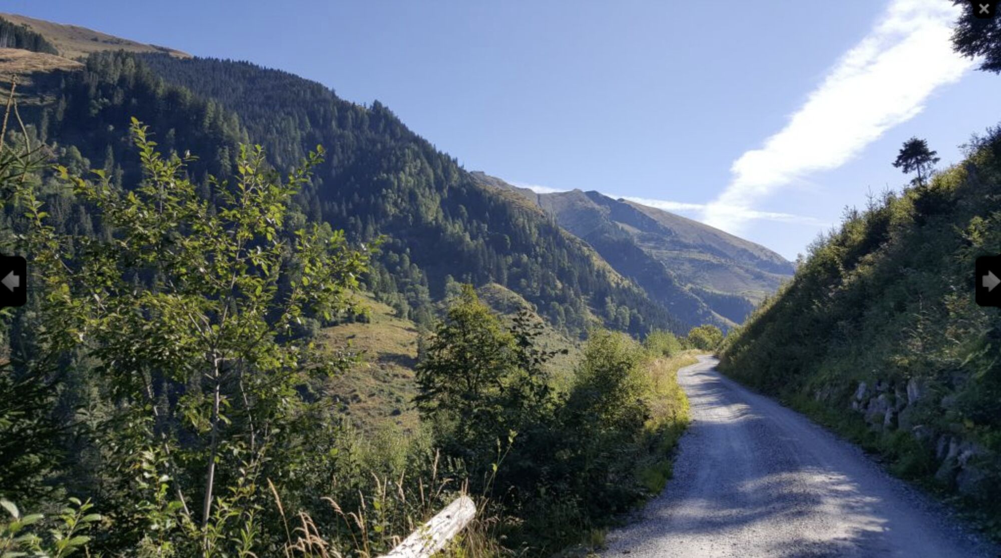
This tour, without technical difficulties, with nice climbs, not too steep and full of scenic beauty, leads to the high valley of the Sulzbach and clearly shows the beauty of the high valleys of the Pinzgau.
- Directions
-
From the car park by the bridge, cycle cross the Fuscher Ache stream to the "Sulzbachbauer" farm. From here follow the asphalt road uphill. After a few hundred metres, turn right onto the gravel road towards Sulzbachtal valley. Up to "Schneeweide" it is an easy ride without much effort or technical difficulties. The path is wide and you can really enjoy the ride. From Kühmais the tour becomes more challenging but not technically difficult. After a few nice bends and about 7 km you reach the Bichlalm (not managed).
The way back is via the same route.
- Highest point
- 1,459 m
- Endpoint
-
Bichlalm (Badhausalm) (closed!)
- Height profile
-

- Safety instructions
- Additional information
- Directions
-
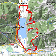
By mountain bike: From Piesendorf Niedernsill follow the well-marked Tauern Cycle Path to Bruck and from there into the Fusch valley to Fusch.
- Public transportation
-

-
AuthorThe tour 13B Sulzbachtal is used by outdooractive.com provided.
GPS Downloads


Other tours in the regions