© Xxlstier

© Xxlstier

© Xxlstier

© Xxlstier

© Xxlstier

© Xxlstier

© Xxlstier

© Xxlstier

© Xxlstier
Tour data
22.56km
423
- 709m
739hm
739hm
06:30h
- Brief description
-
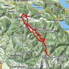
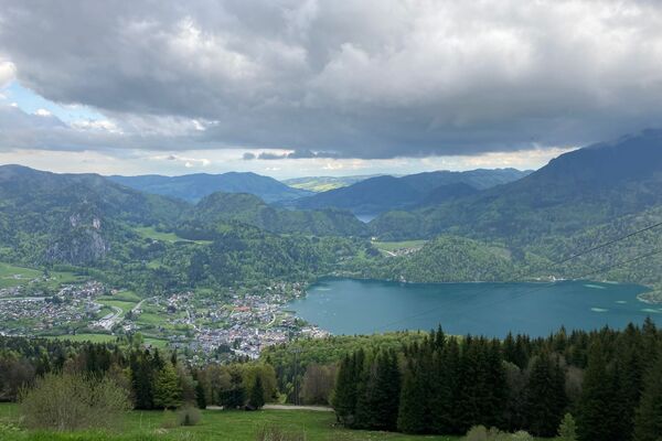
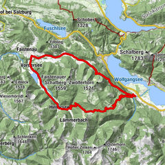
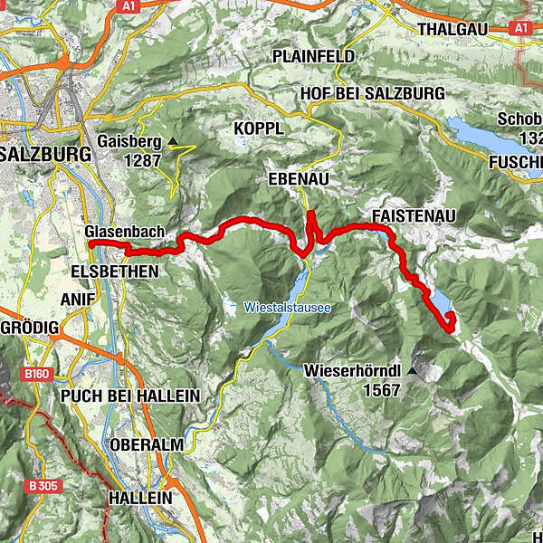
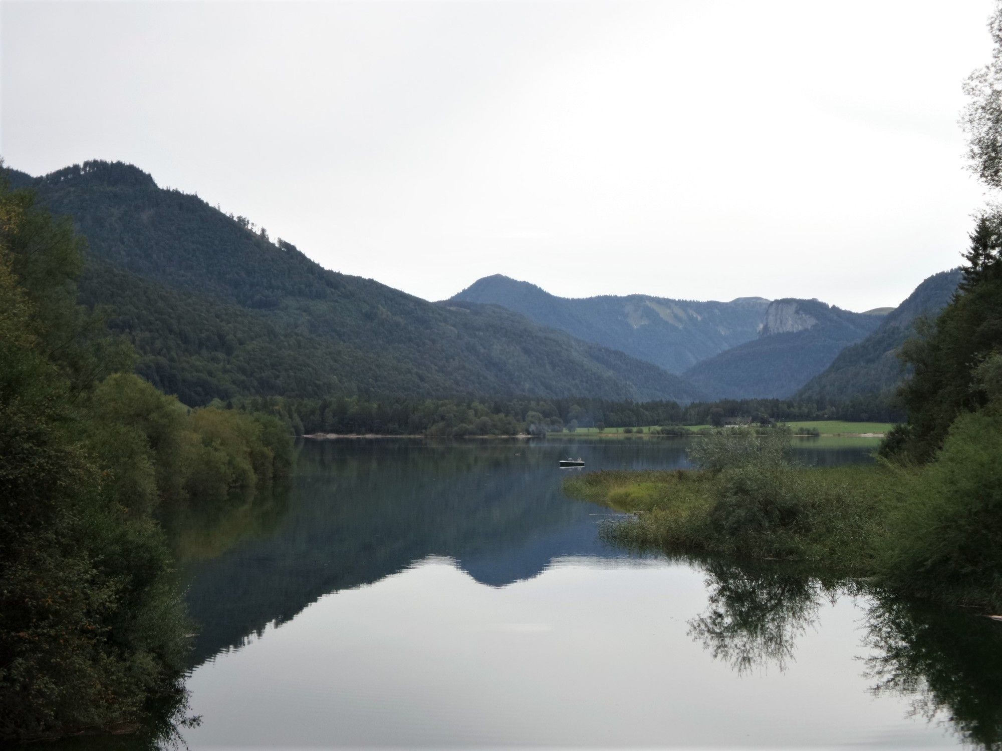
Hintersee (See) von Salzburg
- Difficulty
-
medium
- Rating
-
- Starting point
-
Salzburg Süd
- Route
-
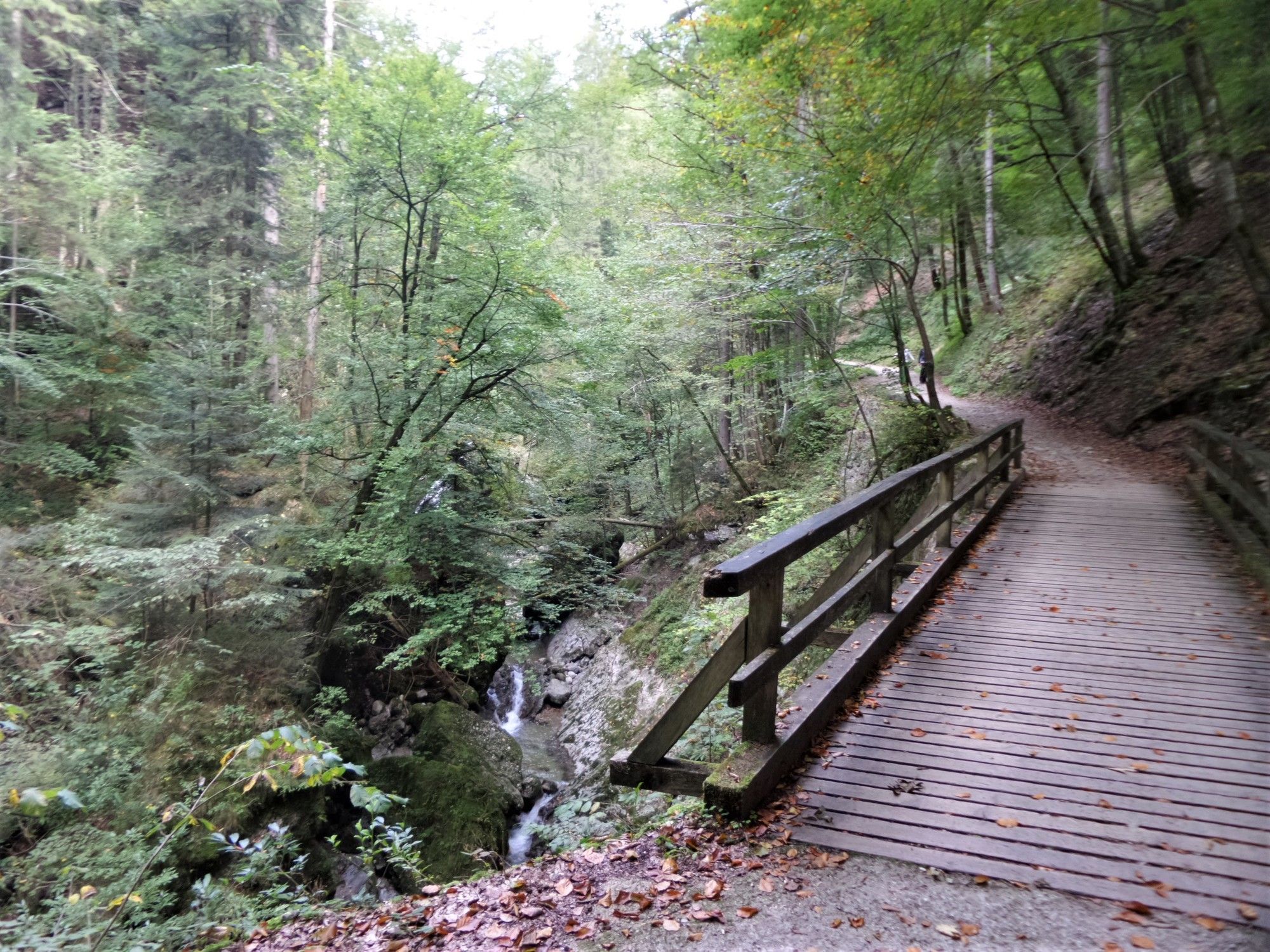
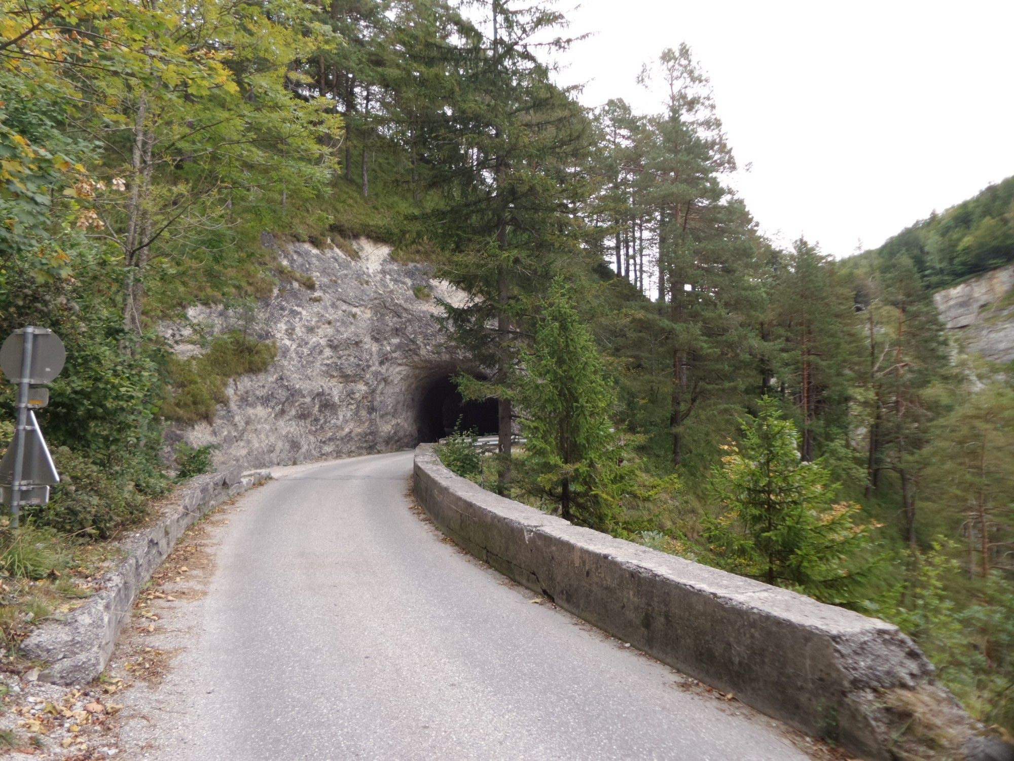
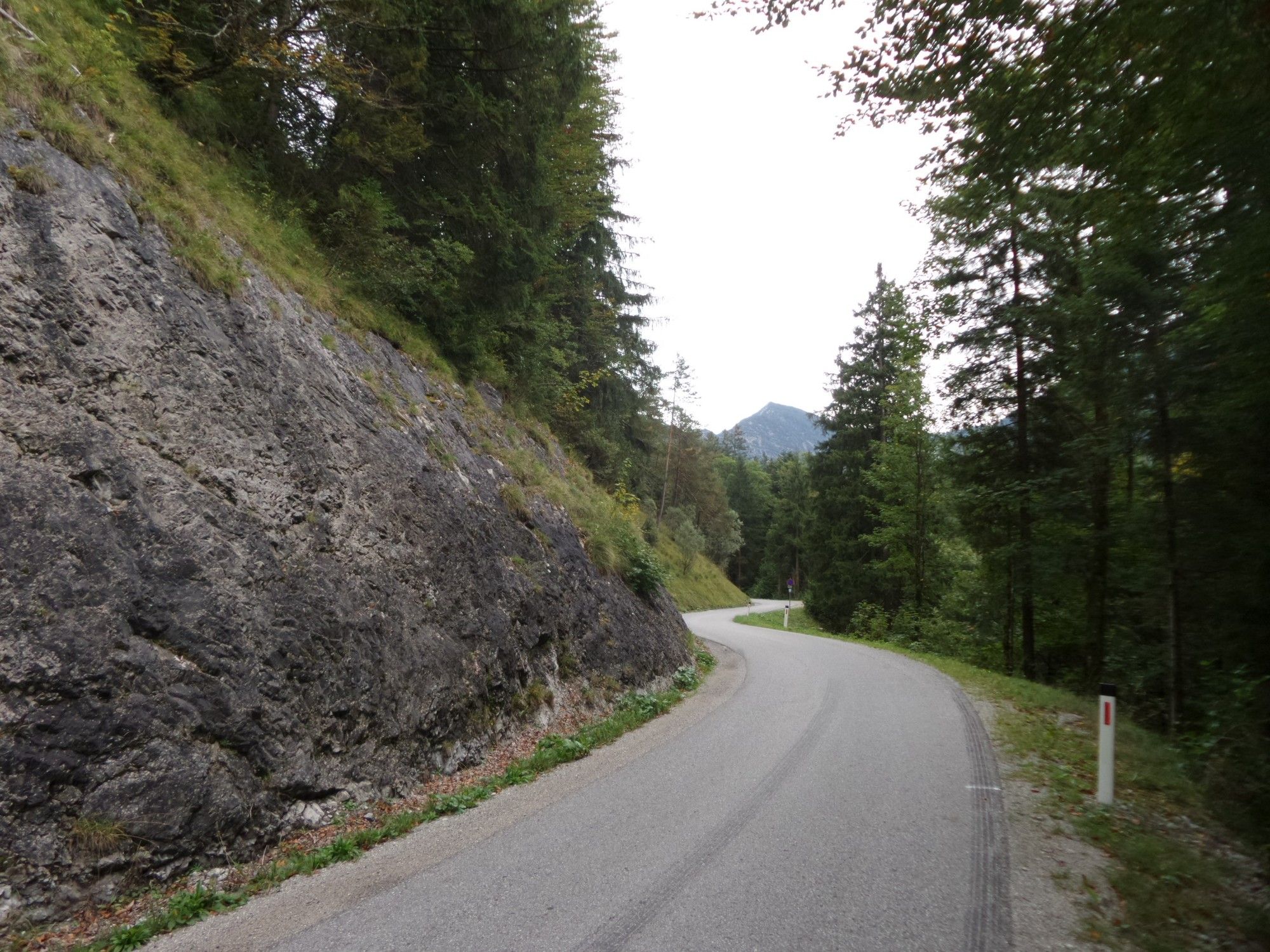
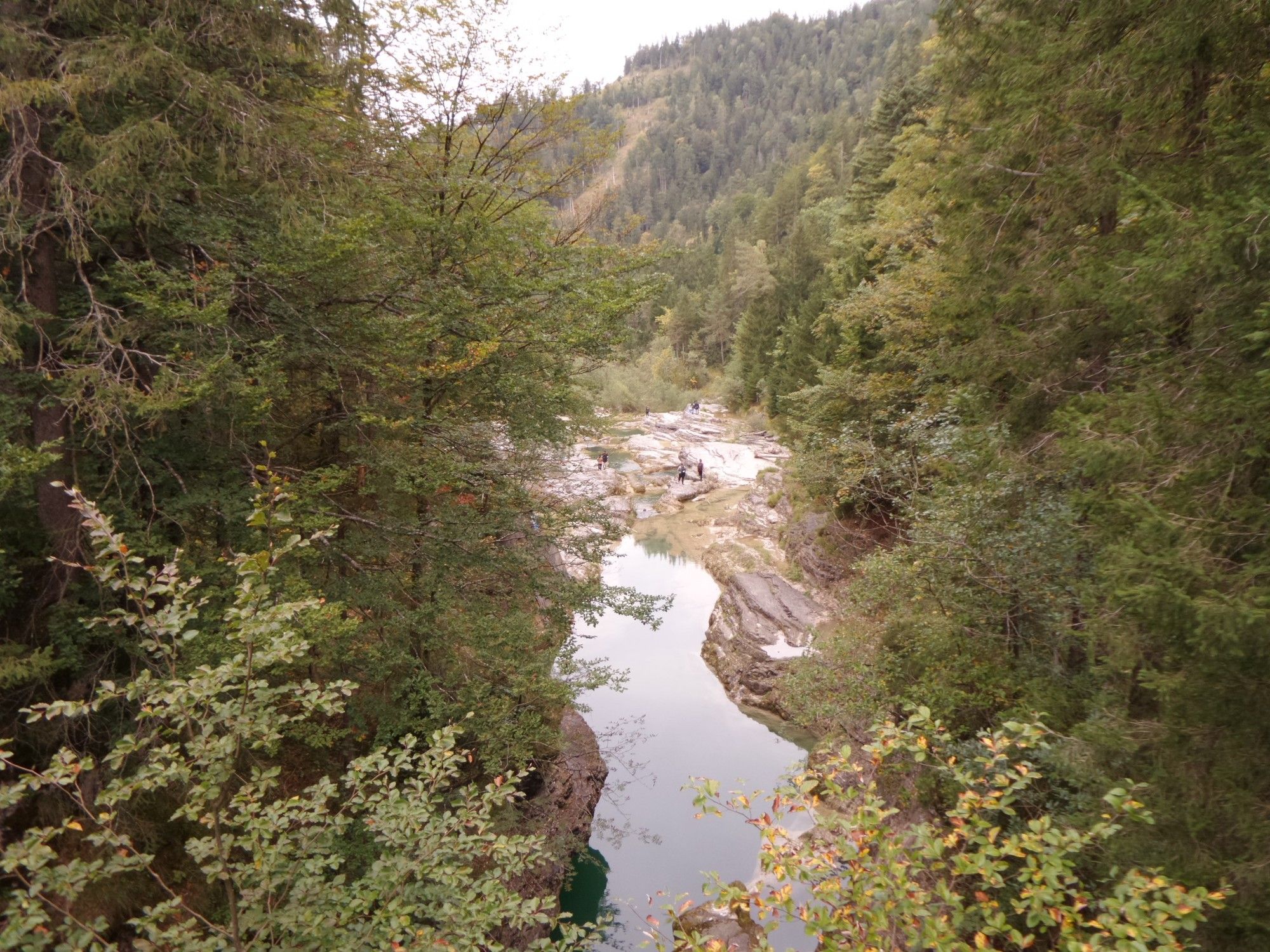
Salzburg (424 m)0.1 kmAnlegestelle Hellbrunn0.2 kmGlasenbach1.2 kmPizzaservice Rassanti1.3 kmLettenbachquelle3.1 kmVorderfager4.4 kmPerweinkapelle7.1 kmSchwarzenbergkapelle7.1 kmHinterwinkl7.6 kmHinterwinkl7.7 kmGasthof Neuhäusl10.4 kmHinterebenau11.7 kmQuelle Familie Ziller13.2 kmGasthof Strubklamm "Seewirt"15.6 kmVordersee19.4 kmTauglzipf22.4 km
- Best season
-
JanFebMarAprMayJunJulAugSepOctNovDec
- Highest point
- 709 m
- Endpoint
-
Hintersee (See)


- Source
- Xxlstier
GPS Downloads


Surfaces
Asphalt
(70)
Gravel
(30)
Forest
Mountain paths
Single trails
Trial
Traffic
Other tours in the regions
-
Fuschlsee - Ferienregion
180
-
Ebenau
65