
- Brief description
-
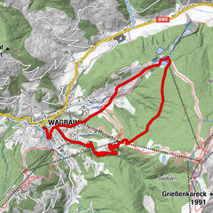
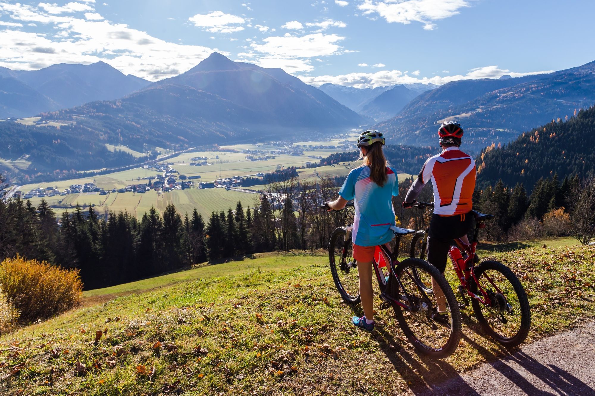
Medium mountain bike tour with great views of the Flachau valley and the Enns valley.
- Difficulty
-
medium
- Rating
-
- Starting point
-
Tourist office Flachau
- Route
-
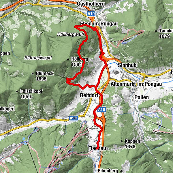
FlachauAigenstadl5.6 kmEben im Pongau13.6 kmFlachau22.9 km
- Best season
-
JanFebMarAprMayJunJulAugSepOctNovDec
- Description
-
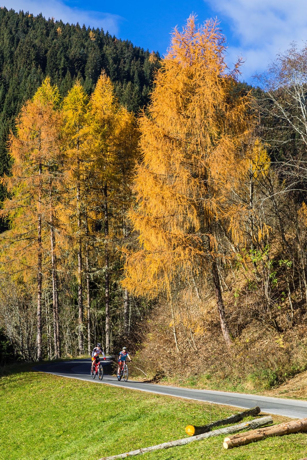
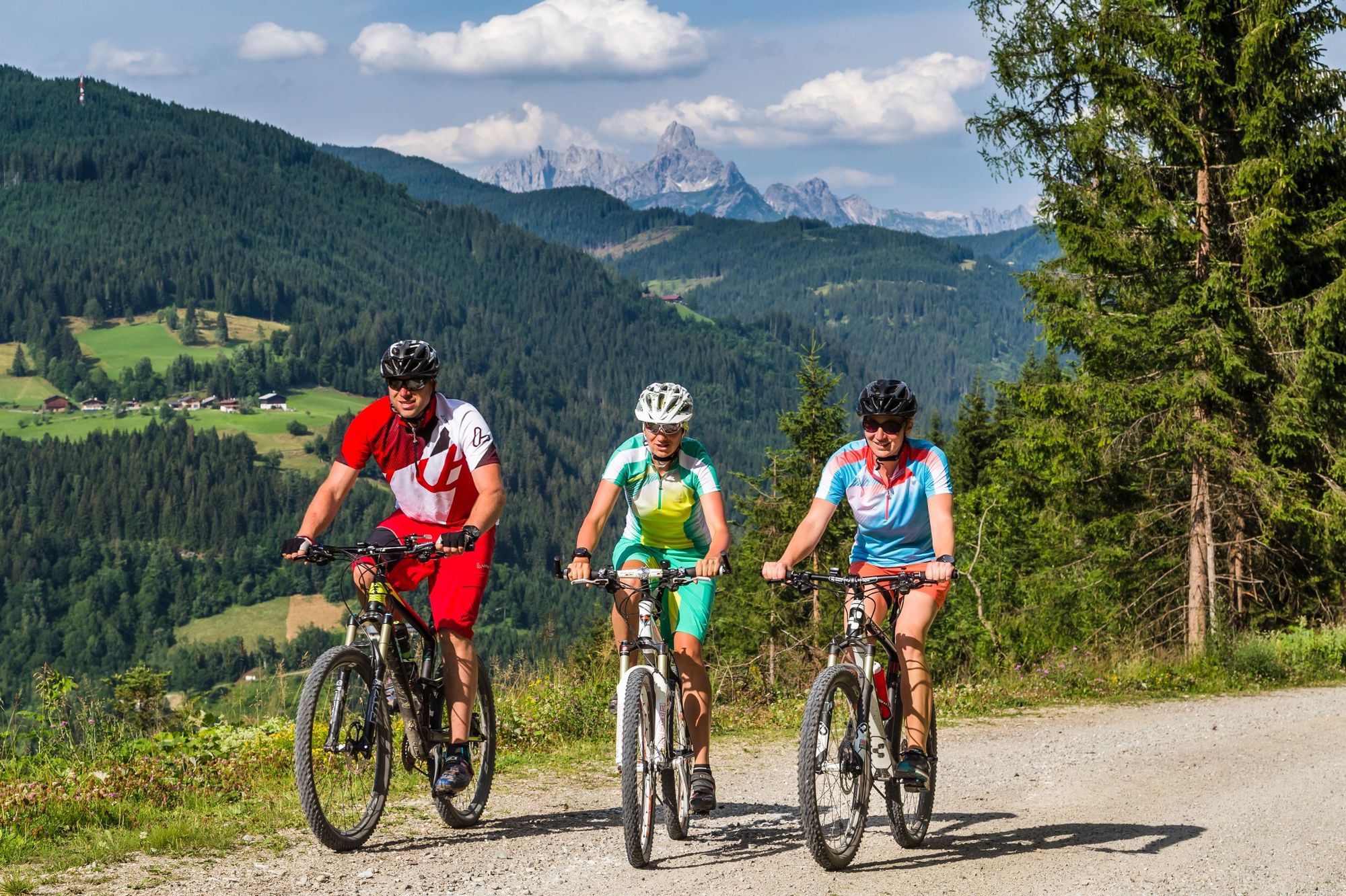
From Flachau, the Enns cycle path leads to Reitdorf. Along the Klemmgraben, however, we now ride uphill to the Aigenberg, a rural scattered settlement. After the first ascent the surface changes from asphalt to gravel and we dive into the Aigenberg forest, which again and again offers beautiful views of the surrounding mountain world. After about 10km you reach the highest point of the tour, from where it goes rapidly down to Eben, where you arrive at the sports centre and return to Flachau. Refreshment stops are also available: Gasthof Horner (Burnstein), Aignstadl, lake buffet at the Reitdorf bathing lake.
- Directions
-
Start at Flachau Tourism - out of the valley to the roundabout at the beginning of the village - straight ahead (2nd exit) in the direction of Reitdorf - follow the road to the municipal office - turn left at the following crossing - after approx. 50 m turn right in the direction of Reitecksee - at Reiteck Badesee straight ahead and continue to follow the road to the right - at the next crossing "Aignstadl" (refreshment stop - note opening hours! ) turn left onto the Aigenbergweg (connection to MTB-Route 23) - steady ascent on asphalt road - at km 7.3 end of asphalt road - follow the gravel road to the left - after approx. 100 m a barrier is passed - forest road towards Eben (beautiful viewpoints along the route - view of the Ennstal valley) - after the underpass turn right towards the adventure bathing lake Eben - past the sawmill Brandstätter - right over the motorway bridge - then turn left and return via the Ennsradweg to the starting point in Flachau.eg.
- Highest point
- 1,301 m
- Endpoint
-
Tourist office Flachau
- Height profile
-

- Equipment
-
A mountainbiker's basic equipment:
protective gear enough to drink and eat for inbetween sunglasses, optionally sun cream or rain cover mobile phone - Safety instructions
-
Check the functionality of your mountain bike before each ride and inform yourself in about the current weather on site. For your own safety, we recommend to wear a helmet.
- Tips
-
At the tourist info Flachau you get a bike map with information to this tour.
- Additional information
-
The mountain bike tour is also suitable for e-bikes! Charging stations are available in the village center at Flachau Tourismus and at the two mountain inns Winterbauer and Sattelbauer.
Here you'll find more about mountainbiking in Flachau: https://www.flachau.com/en/sport/hiking-biking/mountain-bike.html
Info on the current weather on site: https://www.flachau.com/en
- Arrival
-
to Flachau Center / Flachau Tourist Office
- Public transportation
-
From June to September, the Sportweltbus is the ideal shuttle service for your bike tours in the entire region (Flachau, Wagrain-Kleinarl, St. Johann-Alpendorf, Radstadt, Altenmarkt-Zauchensee, Eben, Filzmoos, Obertauern, Großarl & Hüttschlag).
With the Flachau Summer Card you can use the Sportweltbus for only Euro 1,00 per person and route. Children under 6 years travel free!
More information at: https://www.flachau.com/en/more/information/sportweltbus.html
- Parking
-
Parking space near the starting point.
-

-
AuthorThe tour Aigenberg-Runde (SW 62) is used by outdooractive.com provided.


General info
-
Schladming - Dachstein
405
-
Salzburger Sportwelt
338
-
Eben im Pongau
144