
- Brief description
-
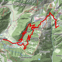
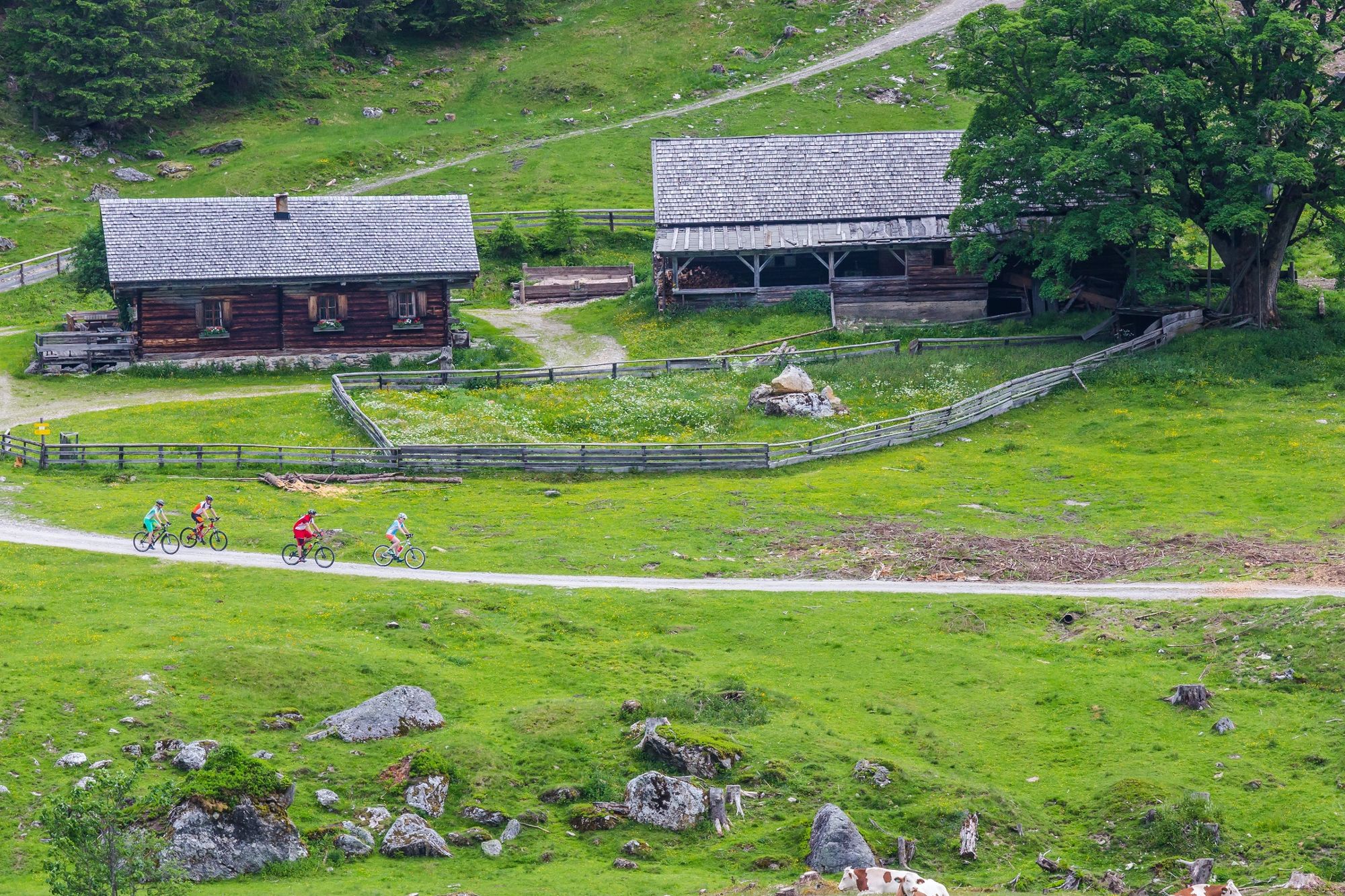
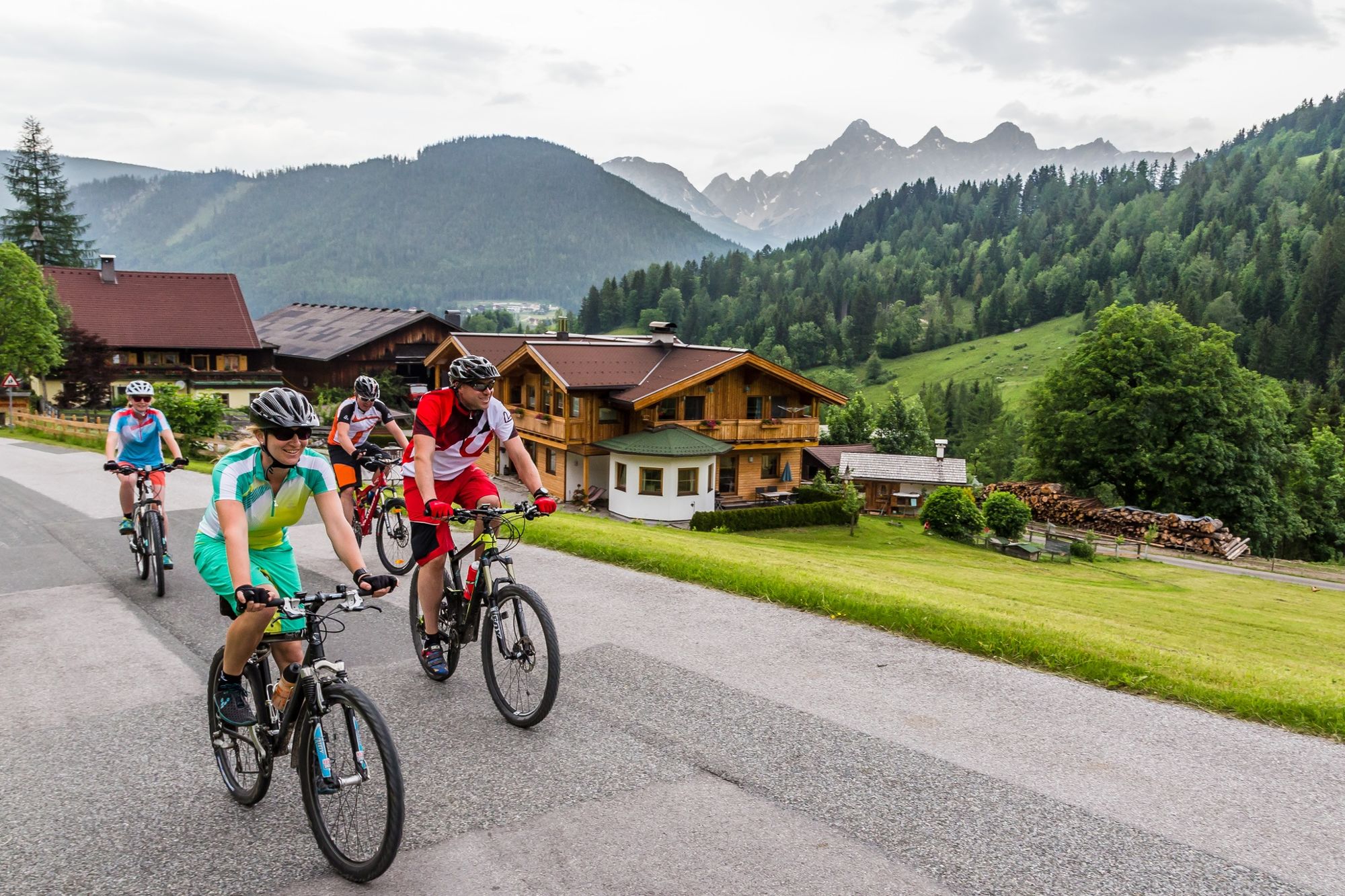
Expedition into the almost untouched Forstau valley
- Difficulty
-
medium
- Rating
-
- Starting point
-
City square Radstadt
- Route
-
Radstadt (858 m)Kapuzinerkirche0.1 kmUnterreith7.6 kmForstau7.9 kmForstauer Wirt8.1 kmSt. Leonhard8.3 kmWinklhütte11.8 kmErblehenalm14.7 kmEllmaualm14.7 kmHintereggalm17.7 kmVögeialm19.0 kmVögeialmkapelle19.1 kmFallhausalm19.5 kmHintereggalm20.4 kmEllmaualm23.2 kmErblehenalm23.4 kmWinklhütte26.1 kmSt. Leonhard29.6 kmForstauer Wirt29.8 kmForstau30.1 kmUnterreith30.3 kmKapuzinerkirche37.8 kmStadtpfarrkirche38.0 kmRadstadt (858 m)38.1 km
- Best season
-
JanFebMarAprMayJunJulAugSepOctNovDec
- Description
-
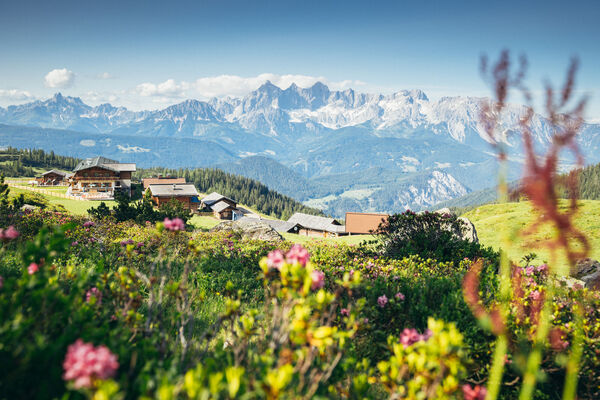
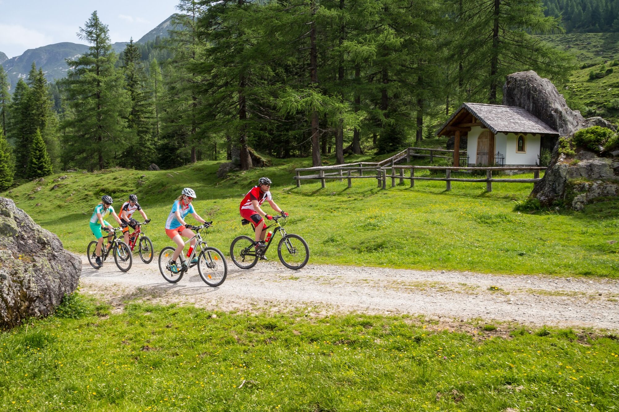
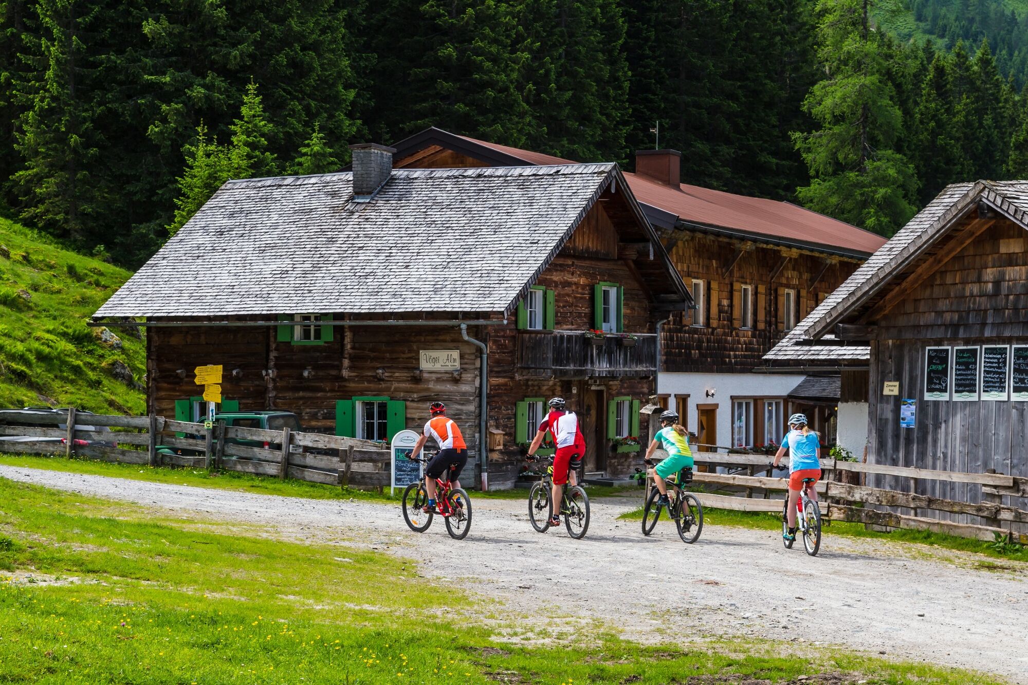
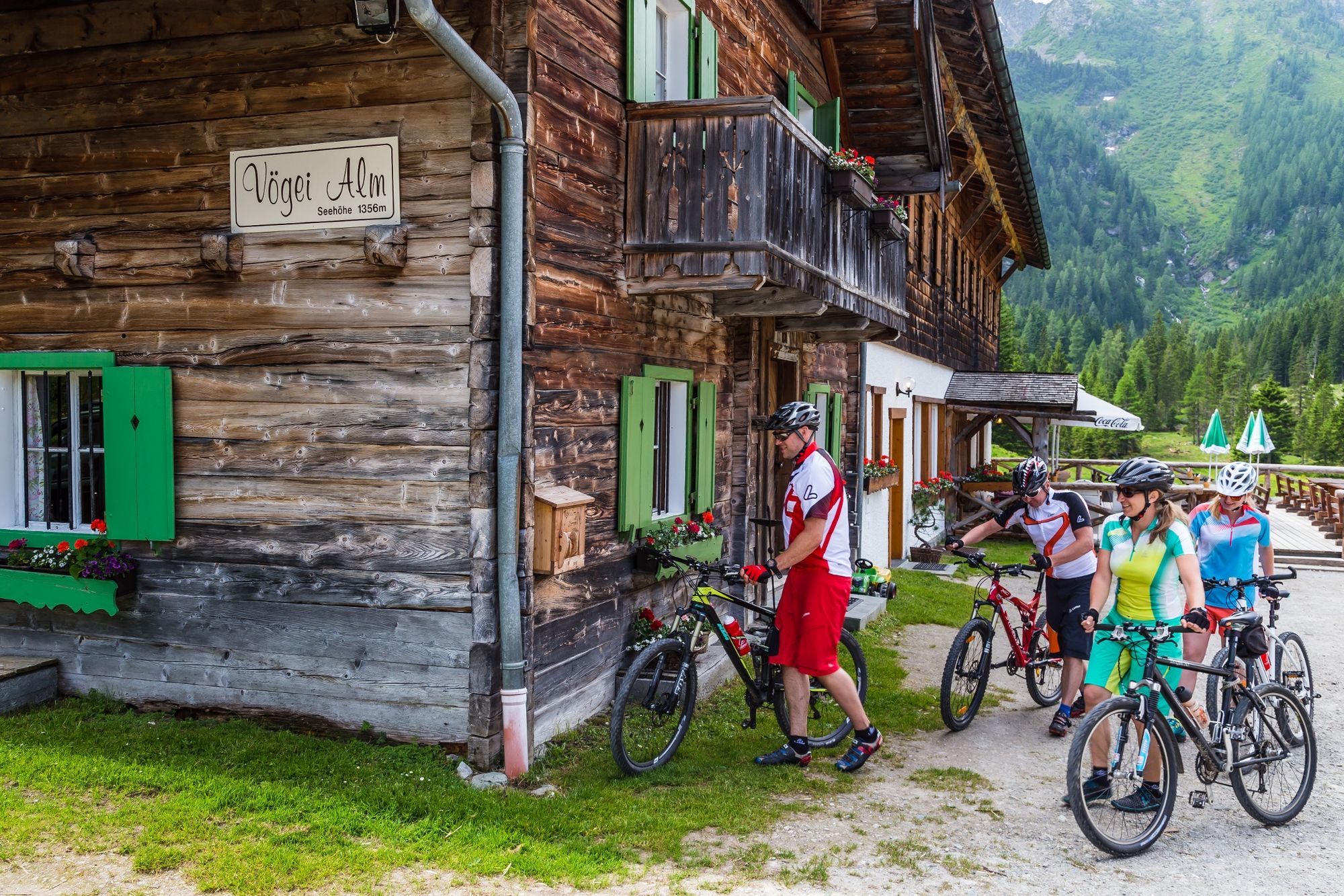
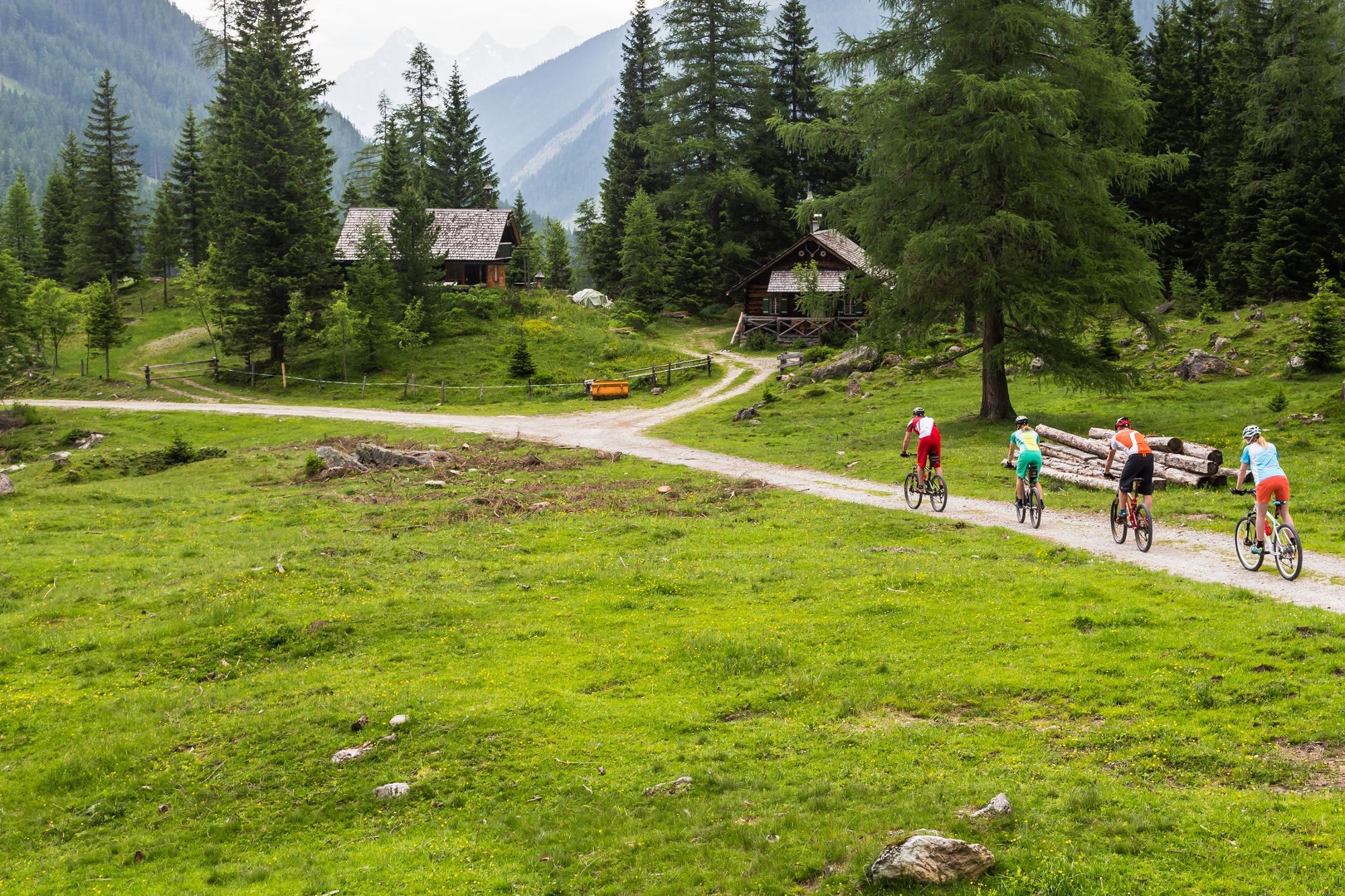
From Radstadt to Forstau and further towards the end of the valley in Forstauwinkl. The Vögeialm and the Fallhausalm are charming picturesque alpine huts. There you can enjoy home-made cheese, buttermilk, bacon and doughnuts.
- Directions
-
You start at the city square Radstadt and go down the Judenbühel (Hill). Then take the Tauernstraße, at the roundabout take the 3rd exit in direction of Forstau. There are many bends up the street and at the tourism office Forstau you go southwards. You will pass a small church, cycle along this road till you reach the Gasthof Farmau- from here the gravelled road (a moderate rise, with a few shallows). You will pass Ellmaualm, Bergalm and Hintereggalm. At 10,0 km there is a bifurcation- you take the left. You reach the highest point before you reach the Vögeialm.
- Highest point
- 1,393 m
- Endpoint
-
City square Radstadt
- Height profile
-

-

-
AuthorThe tour Forstauwinkl route (SW 12) is used by outdooractive.com provided.


General info
-
Schladming - Dachstein
405
-
Obertauern
227
-
Fageralm / Forstau
128