© Salzburger Sportwelt/Coen Weesjes - Coen Weesjes

© Salzburger Sportwelt/Coen Weesjes - Coen Weesjes

© Salzburger Sportwelt/Coen Weesjes - Coen Weesjes

© Salzburger Sportwelt/Coen Weesjes - Coen Weesjes

© Salzburger Sportwelt/Coen Weesjes - Coen Weesjes

© Salzburger Sportwelt/Coen Weesjes - Coen Weesjes

- Brief description
-
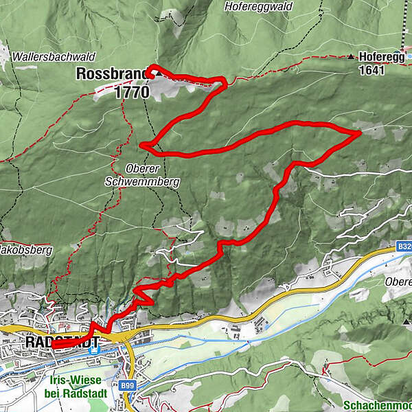
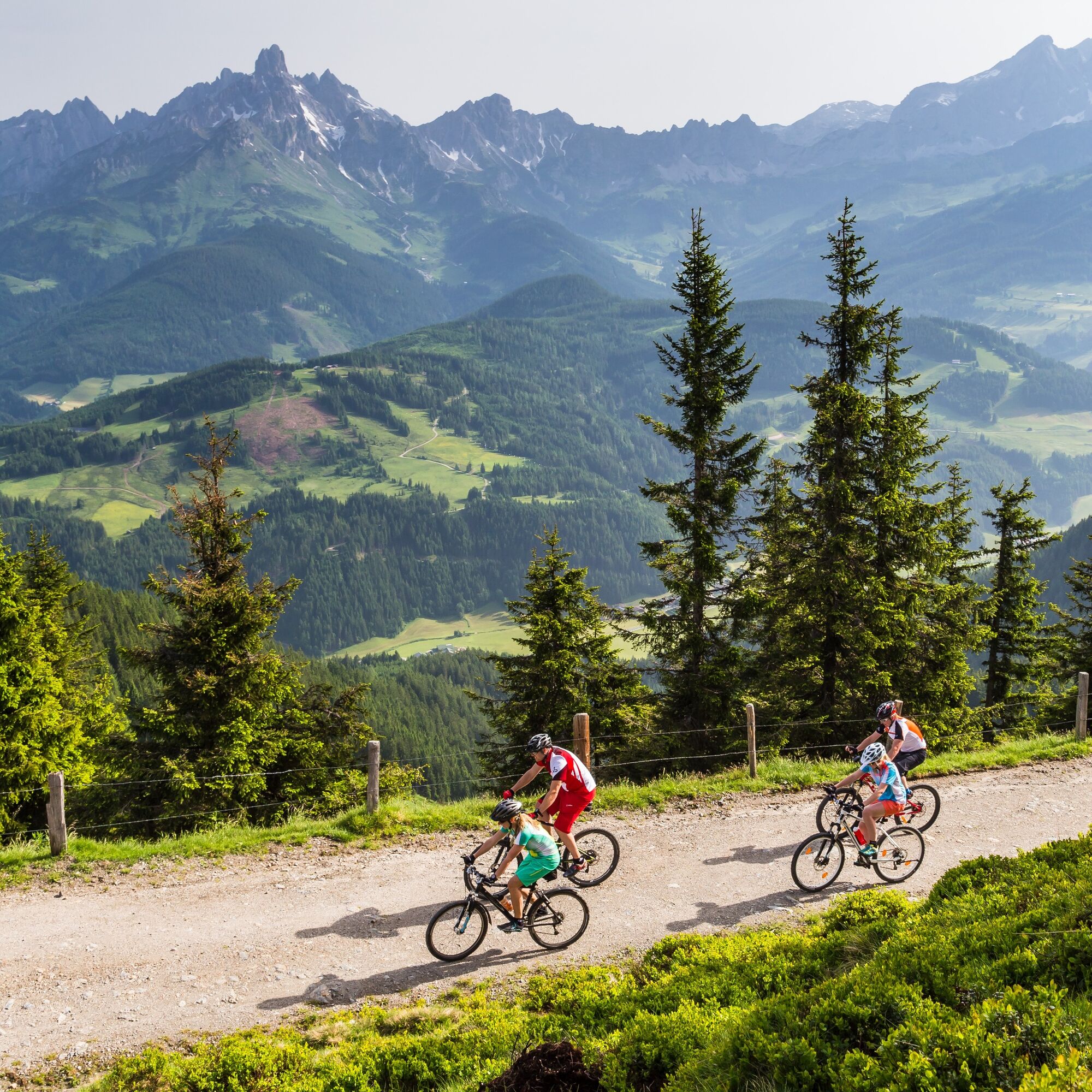
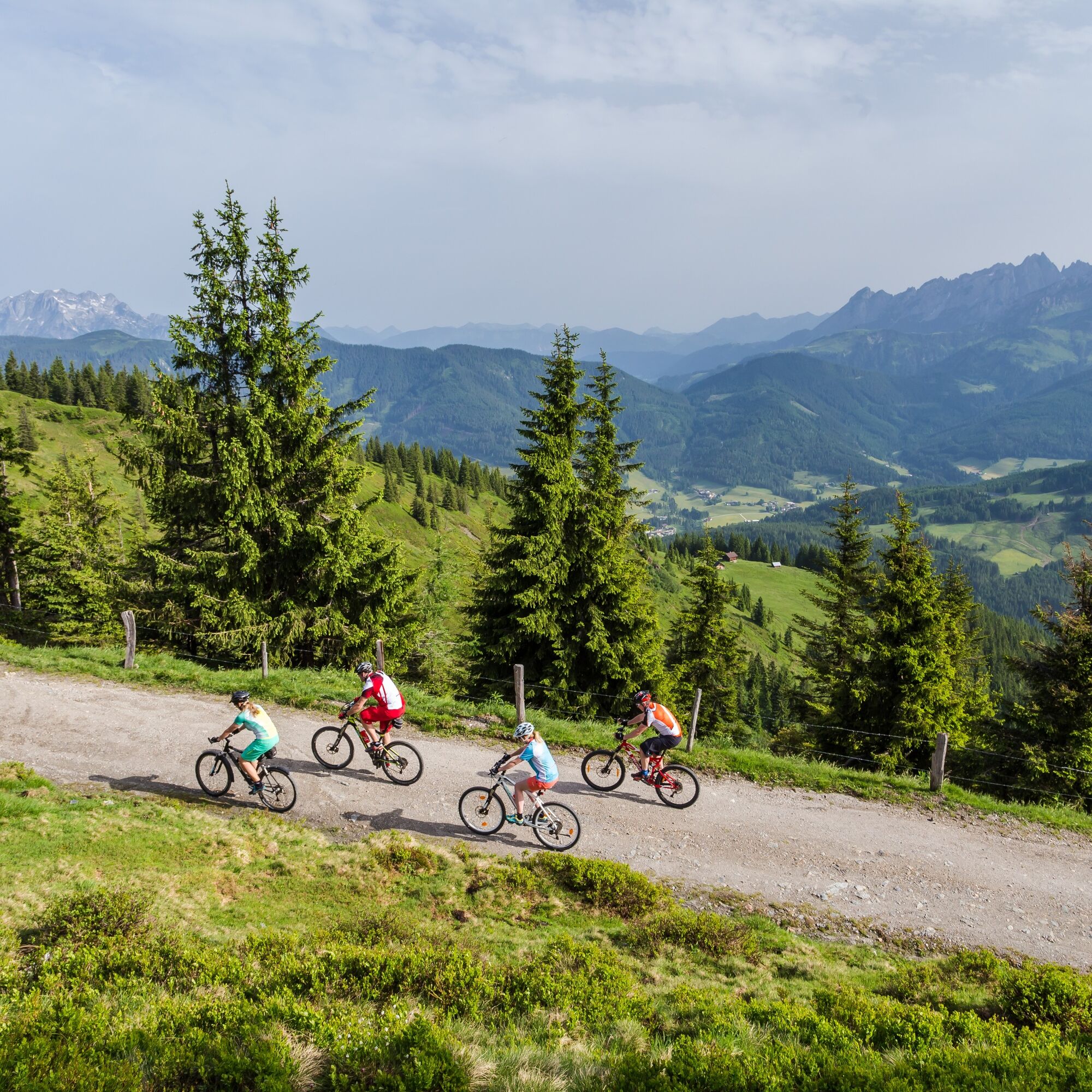
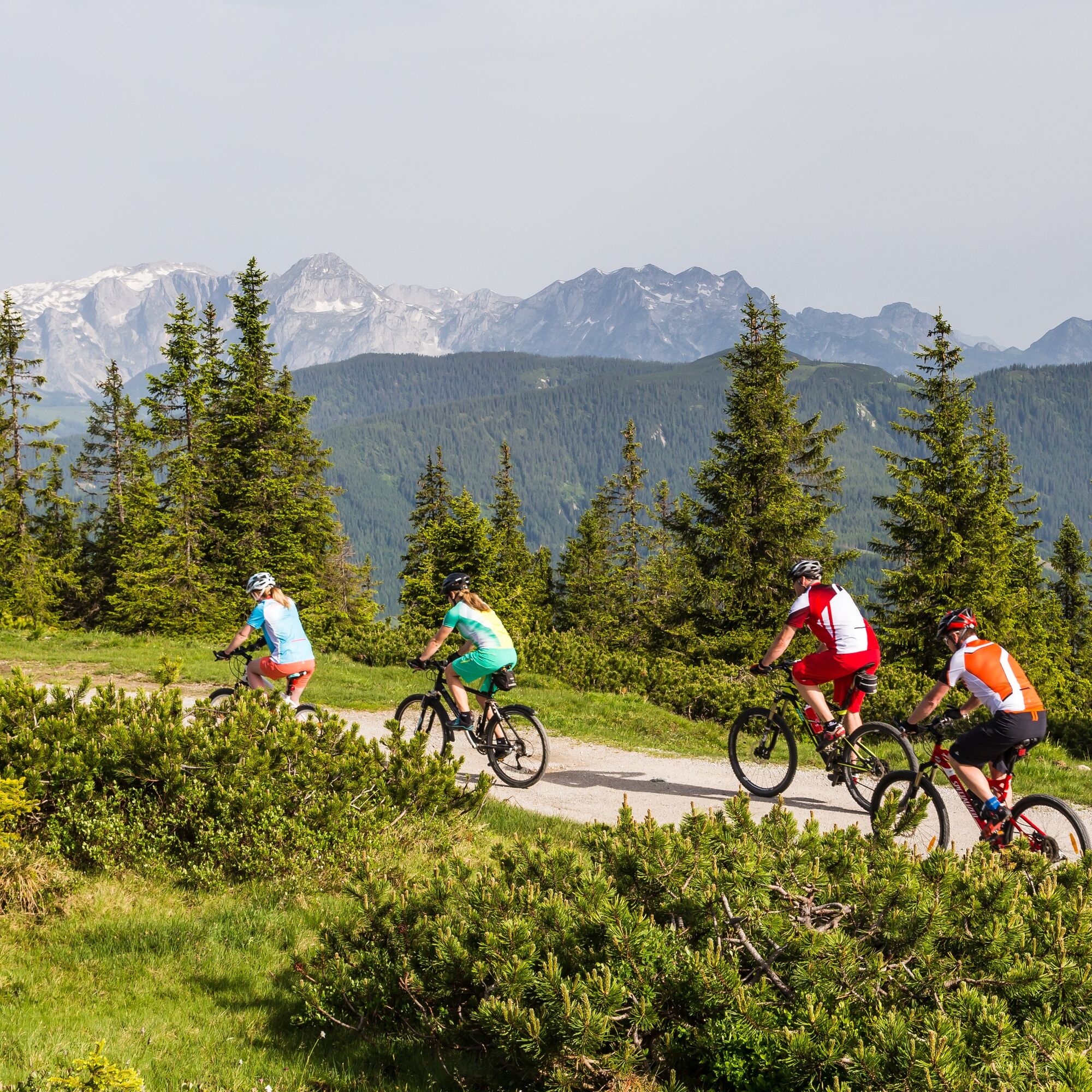
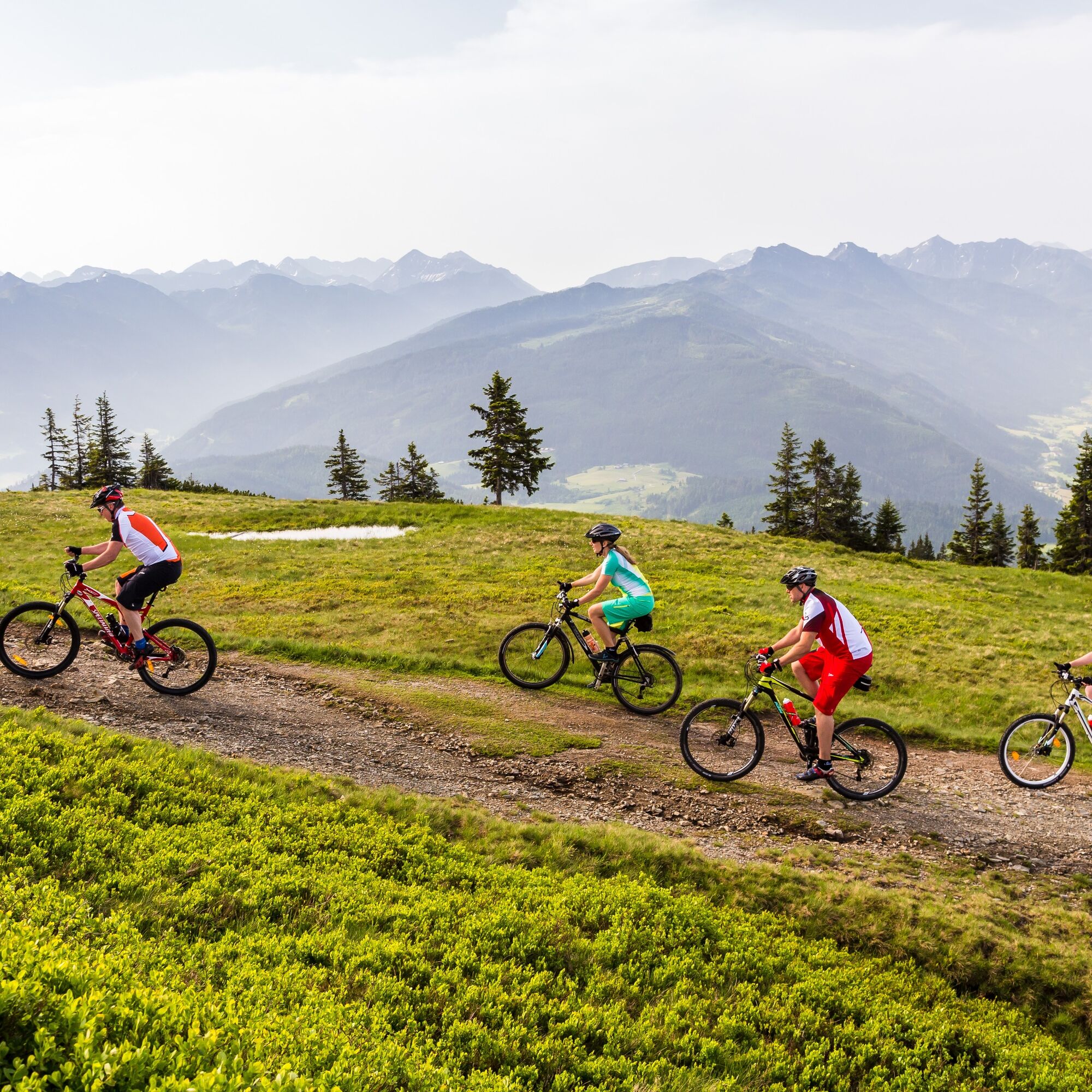
Radstadt - Rossbrandroad - Rossbrand
- Difficulty
-
difficult
- Rating
-
- Starting point
-
Town square Radstadt
- Route
-
Radstadt (858 m)0.0 kmKapuzinerkirche0.1 kmJausenstation Mühlbach4.7 kmRadstädterhütte11.6 kmRossbrand (1,770 m)11.9 kmJausenstation Mühlbach18.4 kmKapuzinerkirche22.9 kmStadtpfarrkirche23.0 kmRadstadt (858 m)23.4 km
- Best season
-
JanFebMarAprMayJunJulAugSepOctNovDec
- Description
-
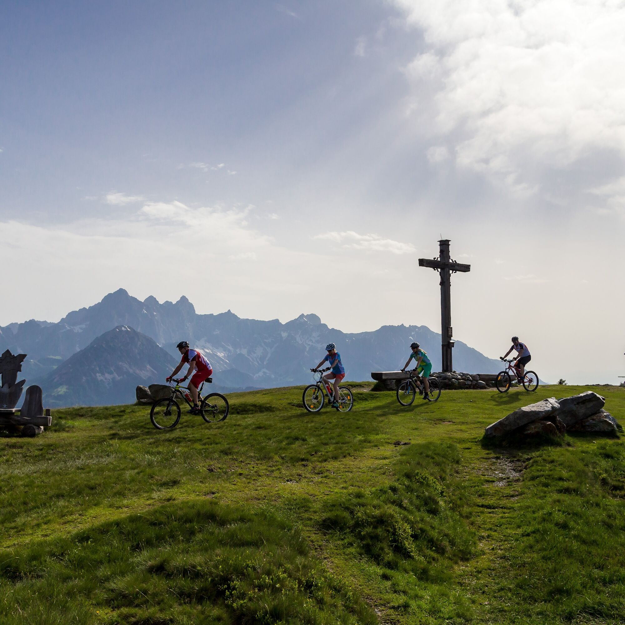
Bike along the road up to the peak of the Rossbrand with its spectacular view of 150 peaks.
- Directions
-
Start in Radstadt at the town square - steady gradient on asphalt, follow the street till you reach the parking lot at an altitude of 1720 m above sea level (beautiful panoramic view in direction Tennengebirge) - pass the barriers on gravel road till you reach the Radstädter Hütte at the Rossbrand with its beautiful view.
- Highest point
- 1,761 m
- Endpoint
-
Rossbrand/Radstädter Hütte
- Height profile
-

-

-
AuthorThe tour Radstadt- Rossbrand route is used by outdooractive.com provided.
GPS Downloads


General info
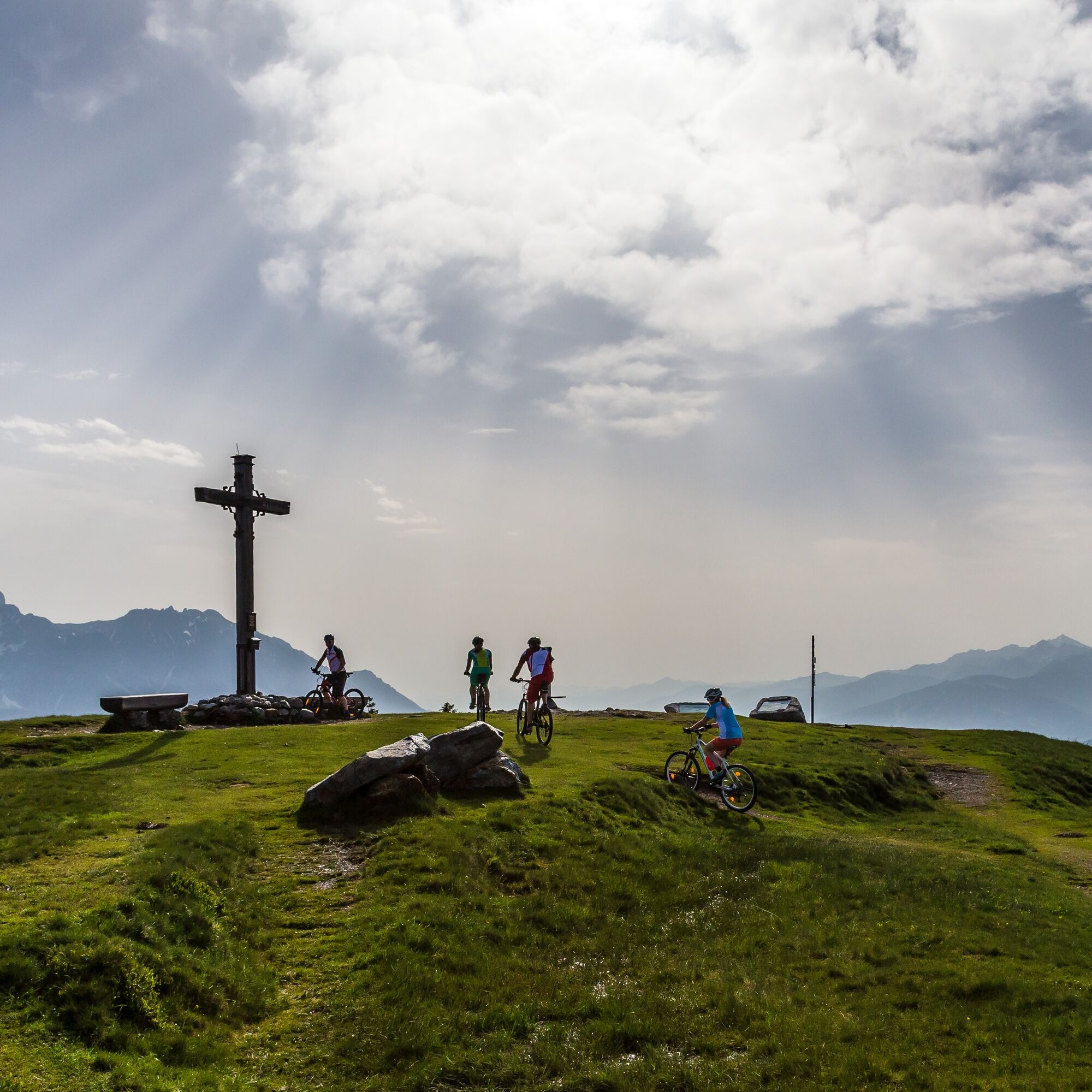
Refreshment stop
A lot of view
Other tours in the regions
-
Schladming - Dachstein
405
-
Salzburger Sportwelt
338
-
Radstadt
134