
- Brief description
-
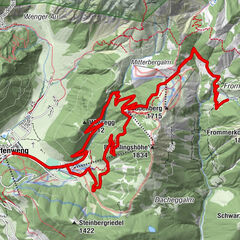
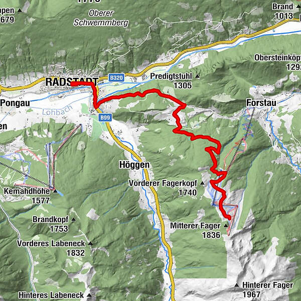
Radstadt - Forstau - Trinkeralm - Forstau - Radstadt
- Difficulty
-
difficult
- Rating
-
- Starting point
-
Town square Radstadt
- Route
-
Radstadt (858 m)Kapuzinerkirche0.1 kmUnterbergalm10.5 kmLechneralm10.7 kmPremhütte10.9 kmTrinkeralm12.9 kmZeffereralm13.0 kmPremhütte15.0 kmLechneralm15.2 kmUnterbergalm15.5 kmKapuzinerkirche25.7 kmStadtpfarrkirche25.9 kmRadstadt (858 m)26.1 km
- Best season
-
JanFebMarAprMayJunJulAugSepOctNovDec
- Description
-
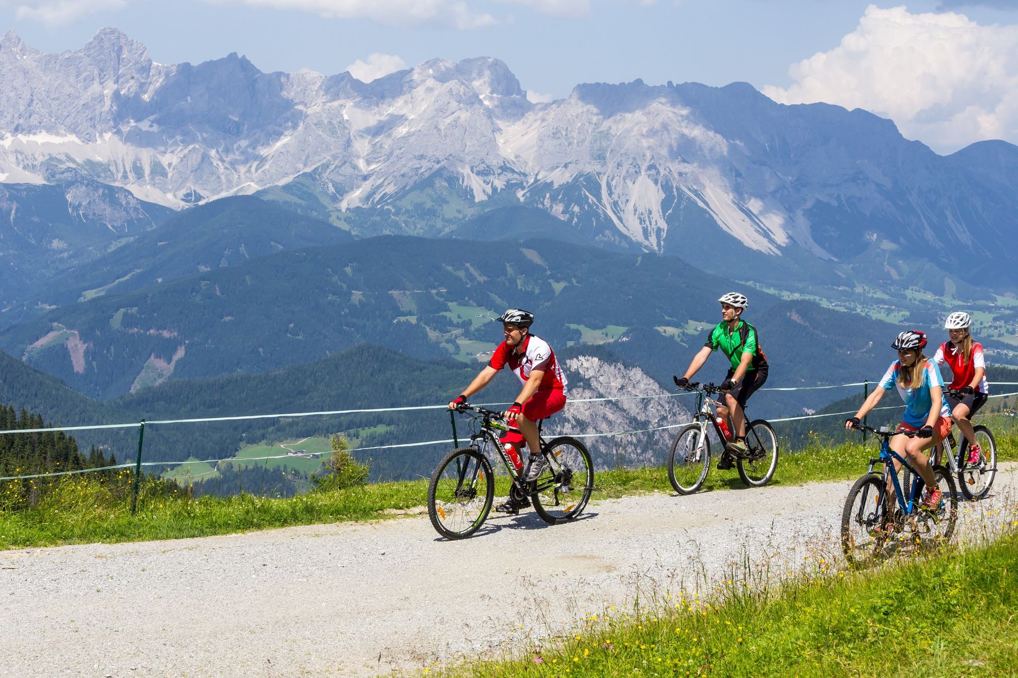
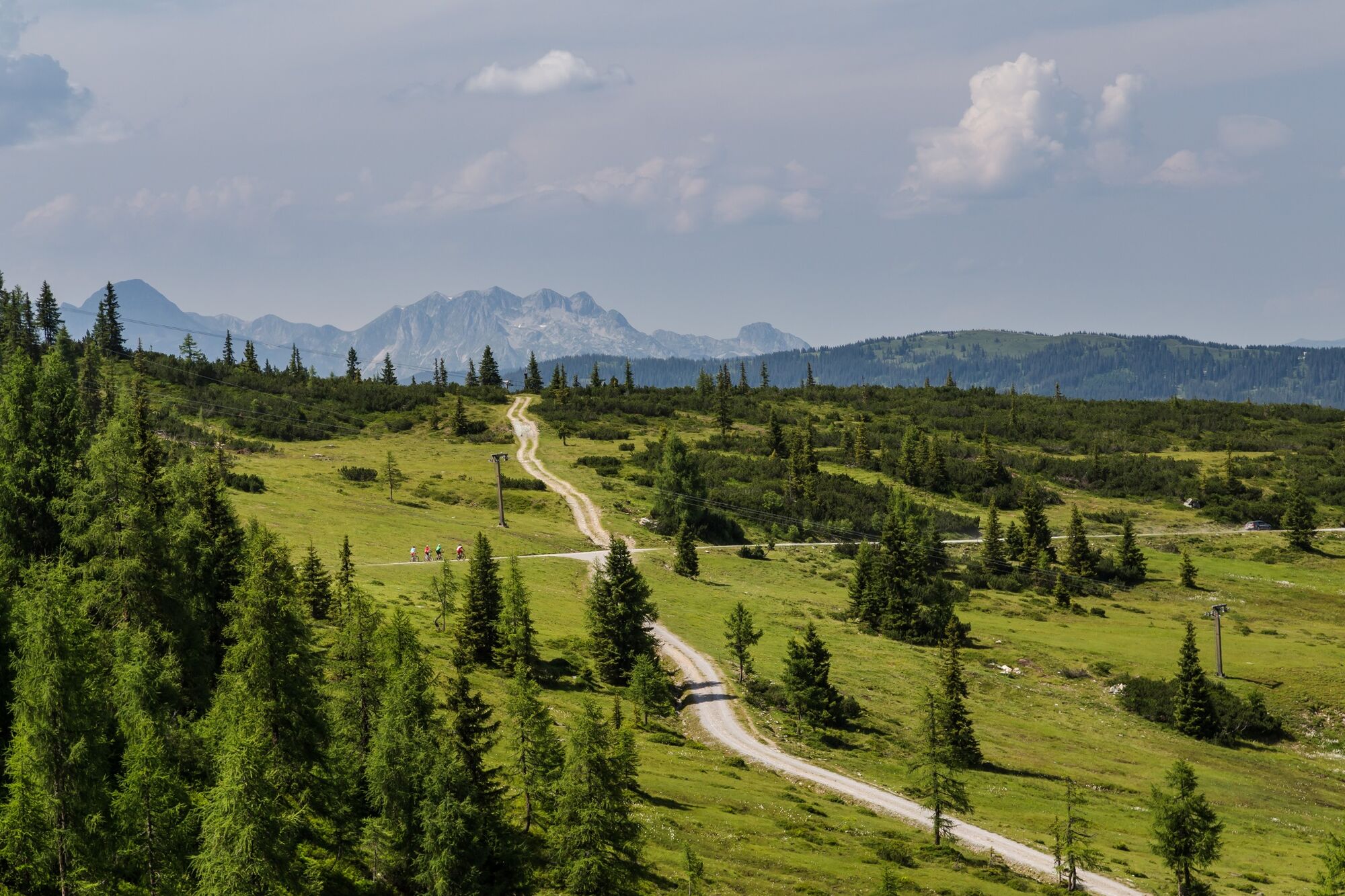
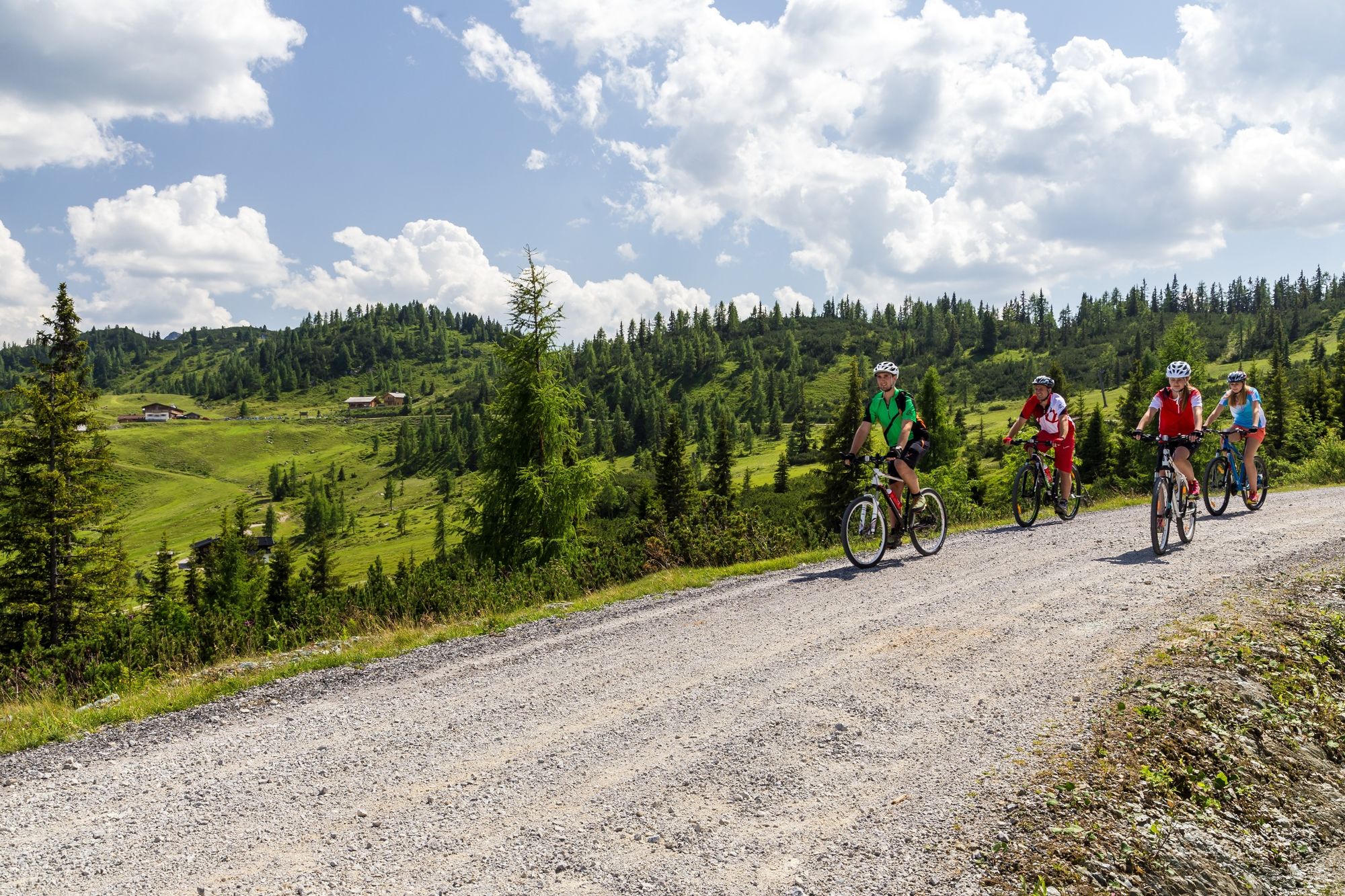
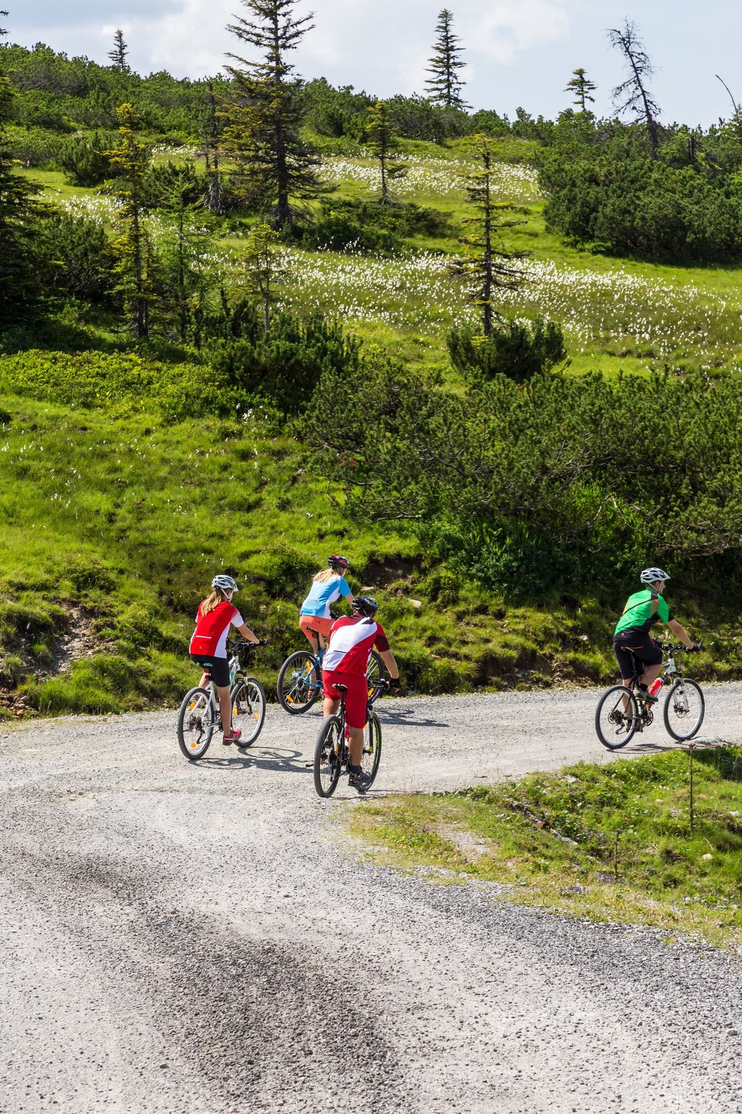
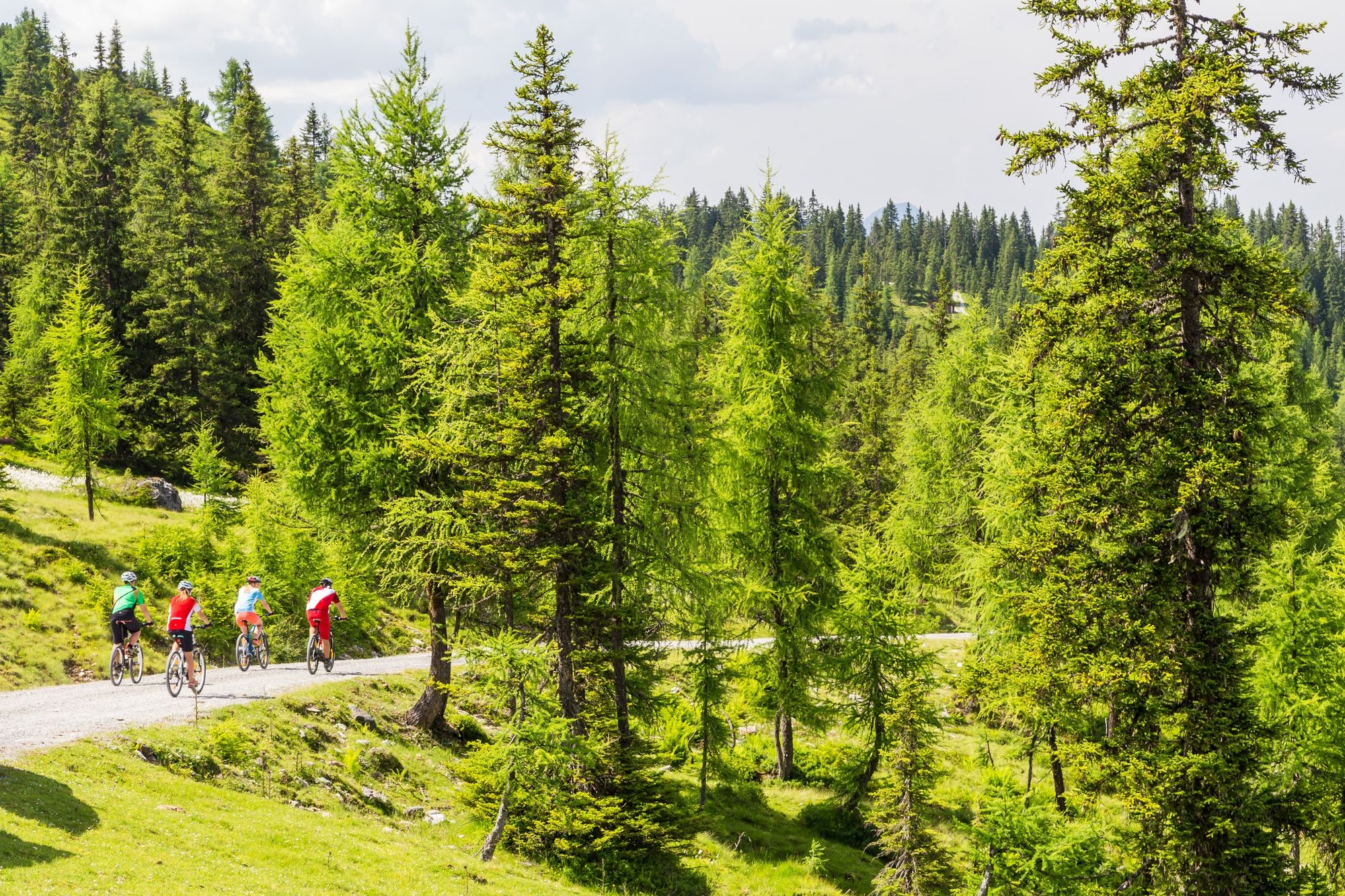
Demanding tour to the Trinkeralm in the “Fageralm“ hiking paradise. Refreshment along the way at Innviertler Bergggasthof or Lechneralm. At the Trinkeralm on top a homemade curd strudel and a fantastic view of the Dachstein awaits you.
- Directions
-
Start in Radstadt at the town square via Judenbühel, then right over the tracks - at km 1.7 you go on to the Bundesstraße to the right - at the roundabout to the left to the direction Forstau - on the road uphill, pass the Seitenalm - at km 5.3 crossing to the right in the direction Trinkeralm - at the courtyard turn left - in the two turns on 1500 m - at km 11.2 turns with bifurcations, turn right - lift underpass - after the turn underpass the lift - the last 500 m with easy terrain till the Trinkeralm. Go back on the same way to Radstadt
- Highest point
- 1,747 m
- Endpoint
-
Town square Radstadt
- Height profile
-

- Parking
-
There is a parking space directly at the sportscentre in Radstadt. (free of charge)
-

-
AuthorThe tour Fageralm Route (SW 15) is used by outdooractive.com provided.


General info
-
Schladming - Dachstein
403
-
Obertauern
227
-
Fageralm / Forstau
128