- Brief description
-
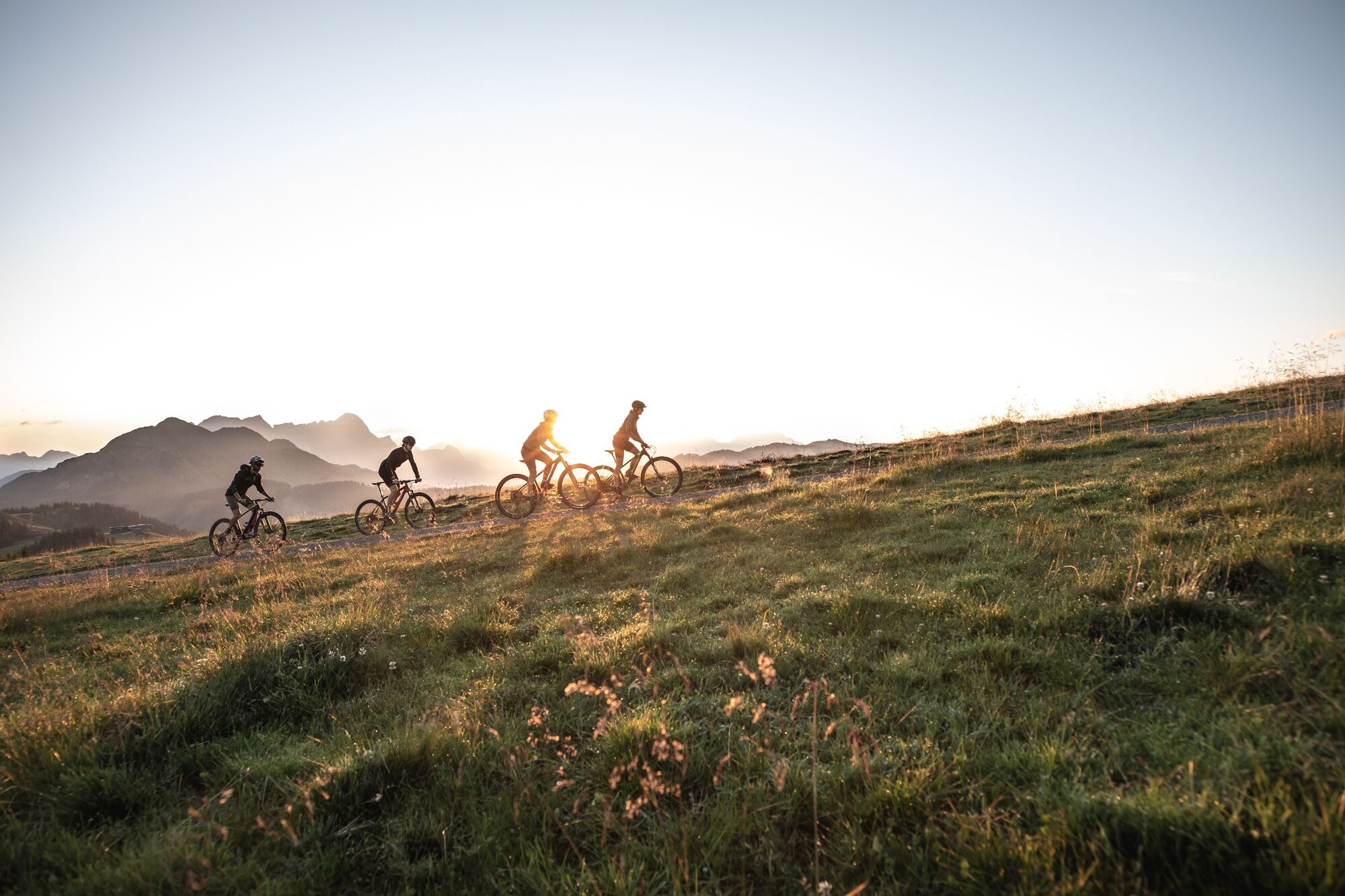
Sunny round high above Hinterglemm with summit experience.
- Difficulty
-
medium
- Rating
-
- Starting point
-
Hinterglemm centre
- Route
-
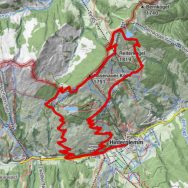
HinterglemmRoßwaldhütte5.4 kmHasenauerköpfl7.3 kmHasenauer Köpfl (1,791 m)7.3 kmReiter-Ost 6er8.2 kmReiterkogel (1,819 m)8.2 kmReiteralm11.5 kmReiterkogelbahn12.7 kmWieseralm12.9 kmEdelweiss Alpenkino13.7 kmHinterglemm17.4 km
- Best season
-
JanFebMarAprMayJunJulAugSepOctNovDec
- Description
-
From Hinterglemm you start along the Glemmtal cycle path in a westerly direction, where you leave the cycle path after just under 1.8 km and cycle up several hairpin bends to the Rosswaldhütte. On the border between the provinces of Salzburg and Tyrol, you cycle mainly across open alpine pastures up to the Reiterkogel and enjoy a fantastic panoramic view of the surrounding mountains and down into the Glemmtal valley. The descent down to the Wetterkreuz begins a little steeper, where you can decide whether you prefer to take forest paths back down to the valley or roll down the comfortable Wetterkreuz trail. At the top station of the Reiterkogel cable car, you can again decide whether you prefer the forest road or the single trail (Blue Line or Pro Line). In both cases, the loop ends at the starting point in Hinterglemm.
- Highest point
- 1,810 m
- Endpoint
-
Hinterglemm centre
- Height profile
-

- Tips
-
Download the track sheet.

- Author
-
The tour SH 39 - Reiterkogel Loop is used by outdooractive.com provided.


General info
-
Saalbach Hinterglemm
434
-
Hochfilzen
141