


Am Parkplatz der Therme Vigaun geht es rechts bis zum Dorfbrunnen von Sankt Margarethen. Dort rechts hinauf durch einen kleinen Wald und bald quert man die Radstrecke " links nach Waidach" (grünes Schild...
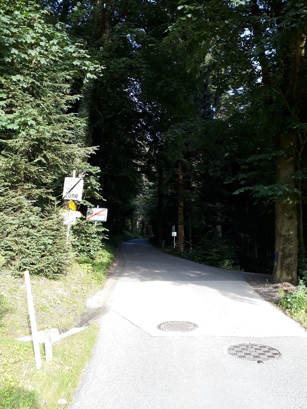
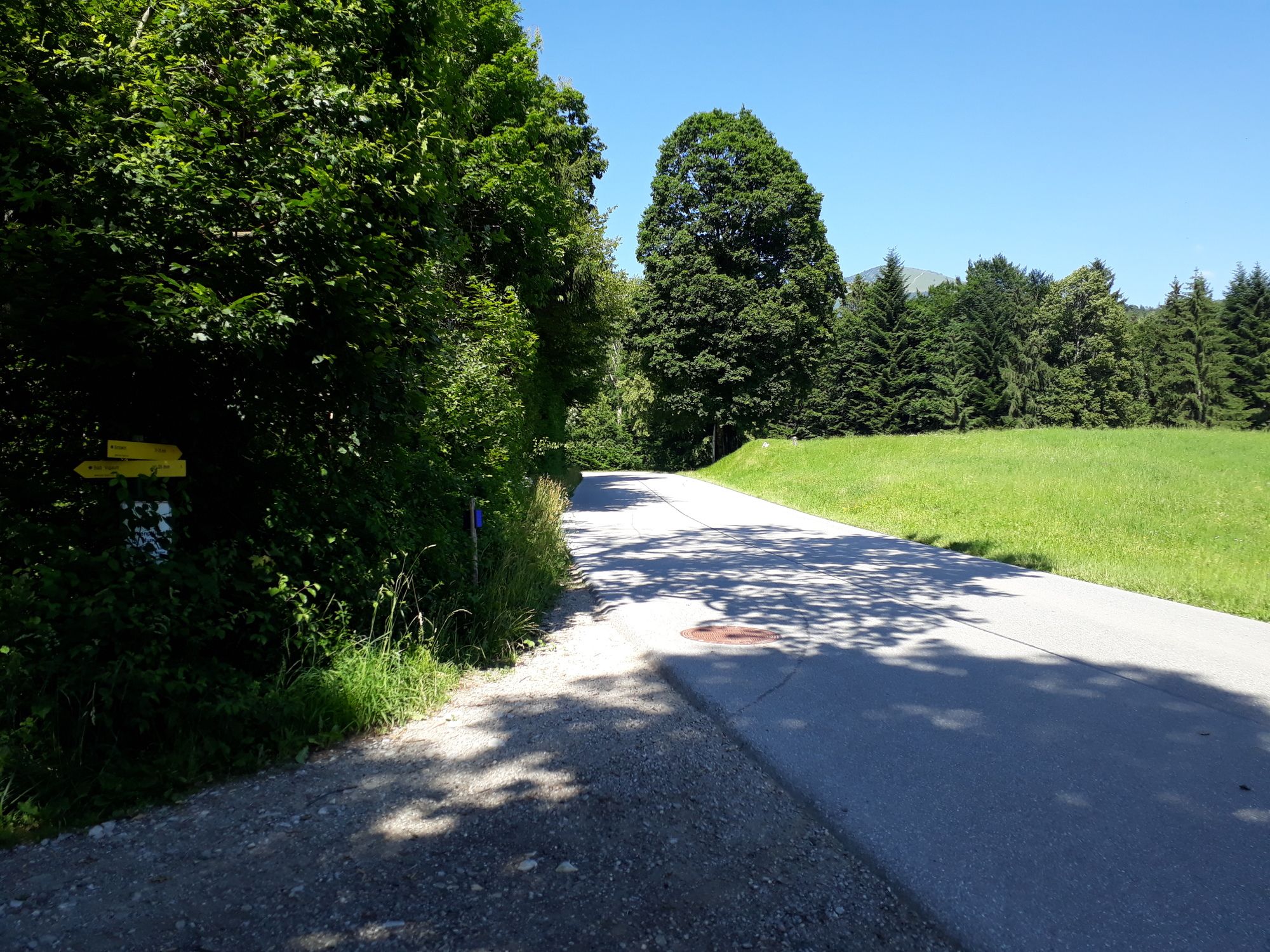
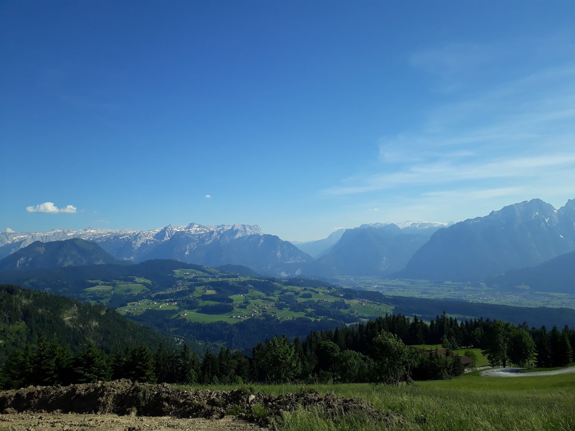
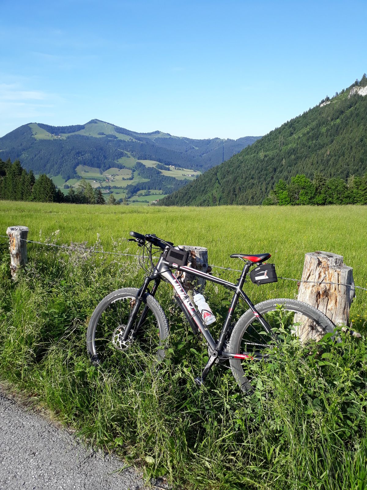
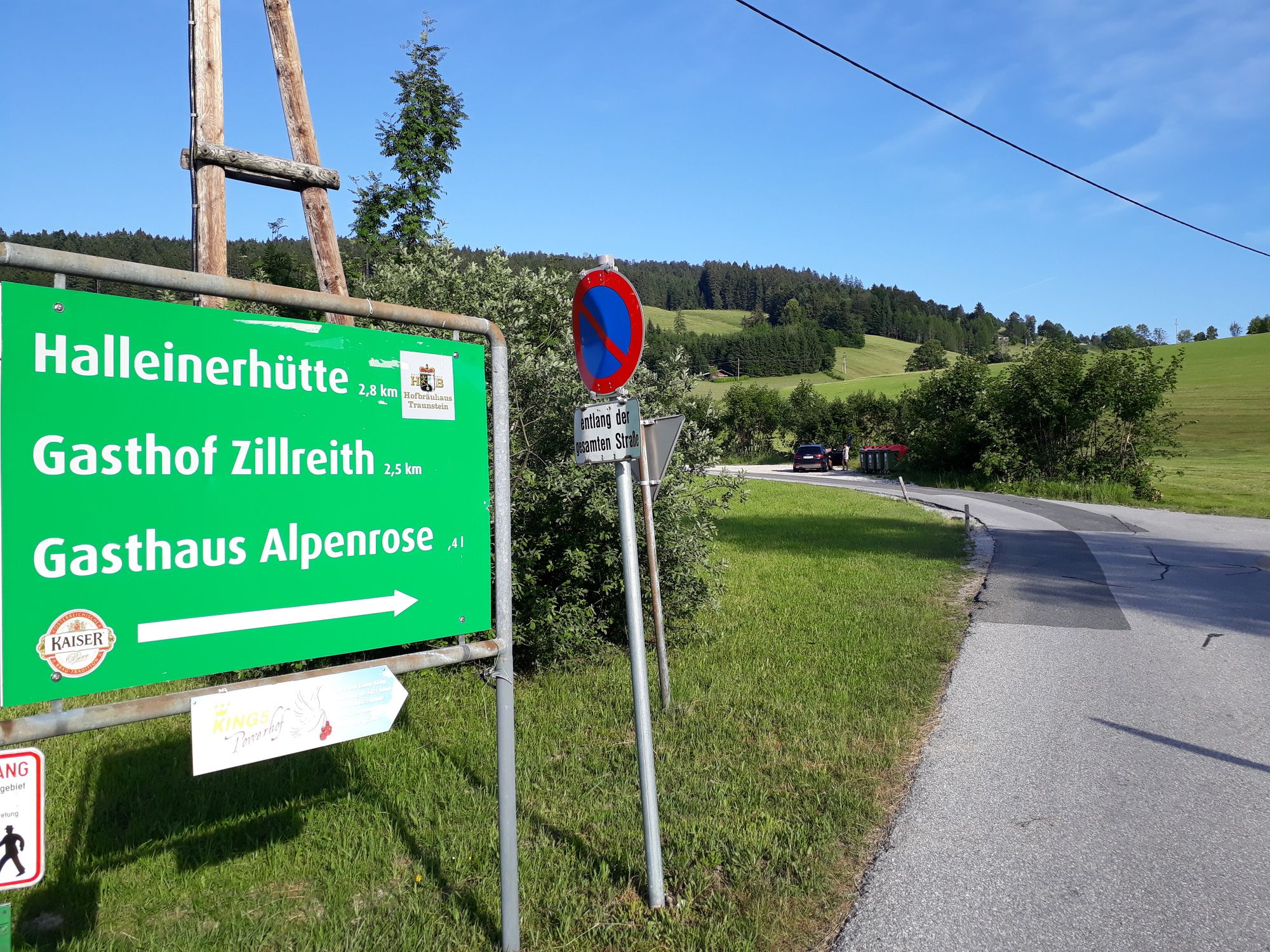
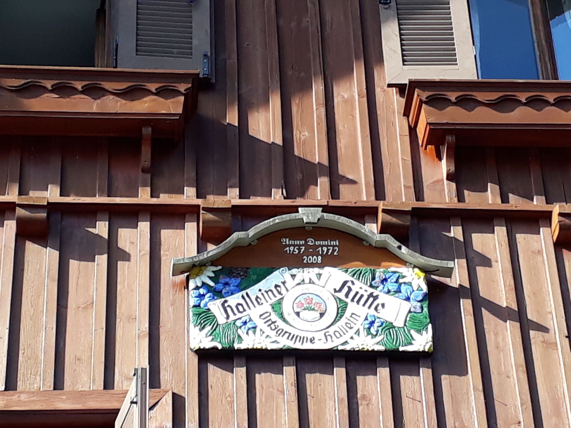
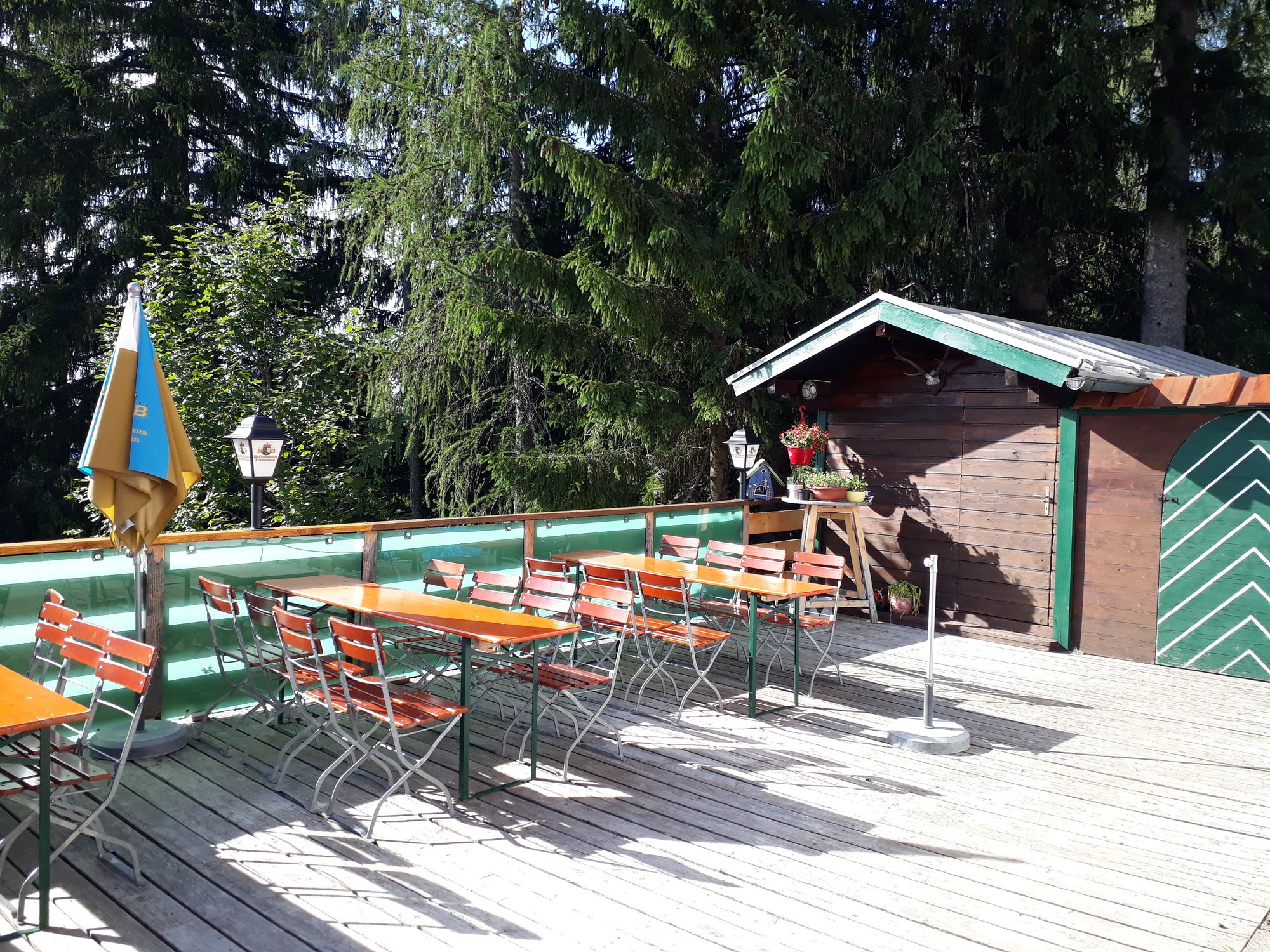
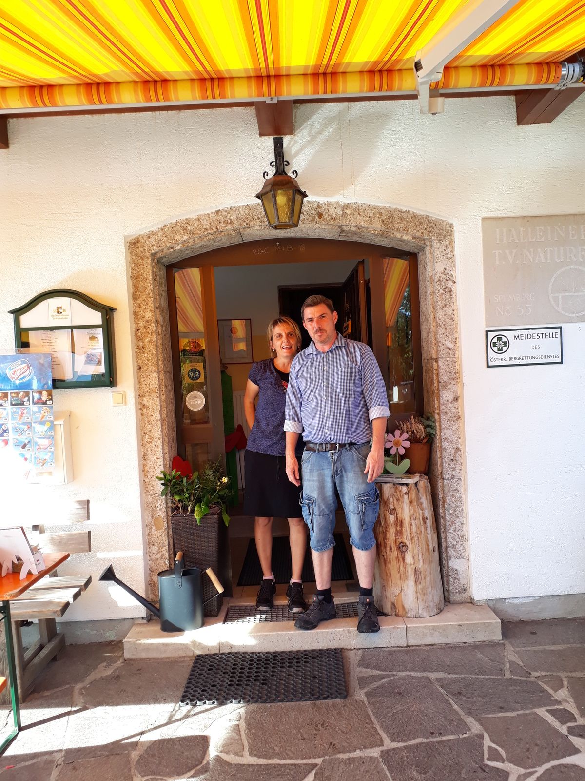
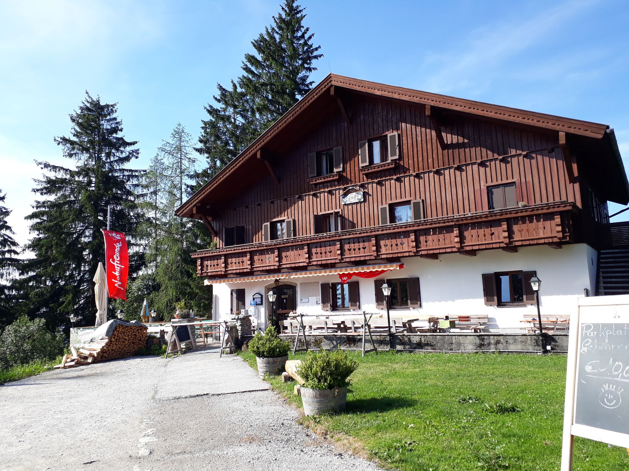
Am Parkplatz der Therme Vigaun geht es rechts bis zum Dorfbrunnen von Sankt Margarethen. Dort rechts hinauf durch einen kleinen Wald und bald quert man die Radstrecke " links nach Waidach" (grünes Schild beim Haus). Entweder man entscheidet sich für den direkten Weg, dann links fahren, ansonsten als Rundkurs geradeaus weiter auf Asphalt bis man nach der Kuppe in einen Waldweg einbiegt und immer der Beschilderung "Broswirt" folgt. Bald ist die Landesstrasse zum Schlenken erreicht und nach einigen Kehren auch linker Hand der Broswirt mit griechischen Spezialitäten und Gastgarten. Wir fahren weiter bis zur Straßengabelung und fahren links auf der Äußeren Rengenbergstraße Richtung Schlenken weiter, vorbei am kleinen Parkplatz mit Beschilderung zur Schmittensteinalm auf dem Schindlauweg mit Sackgasse. Immer weiter bis zu einem Bauernhof wo ein Jagdhund aufpasst. Mein #VIVAX e bike hat Ihm gefallen und er schnupperte nur.Wir überqueren die eingezäunte Weidefläche bis zum Gatter, wo ein Fahrverbot zum Schieben empfiehlt. Kurz in den Wald hinein und bald ist man wieder auf freier Almfläche mit einer kleinen Almhütte vor sich. Nach 2 Kurven und einem kurzen Anstieg ist die Asphaltstraße von Adnet/Spumberg kommend erreicht. Rechts hinauf etwa 100 Hm ginge es nach Formerau mit schönen Ausblick. Wir halten uns links abwärts wo wir schnell die Abzweigung zur Halleinerhütte www.Halleinerhütte.at erreichen. Zur Hütte sind es noch 5 Minuten mit ca. 40 Hm. Birgit und Gerhard werden Euch mit Hausmannskost auf einer sonnigen Terrasse bestens bewirten. Die Hütte ist auch im Winter ein beliebtes Ziel für Tourengeher und ein guter Ausgangspunkt, zumal auch mit Auto erreichbar.


Broswirt
www.halleinerhaus.at
Freytag&Berndt WK392
Yes
Yes
normale Bergausrüstung
keine besonderen Hinweise
mit S3 nach Bad Vigaun
Schnellbahn,Bus
bei der Therme Bad Vigaun
Yes
Yes
4/6
2/6
Popular tours in the neighbourhood
-
4.2
Idyllic Hintersee Rund
lightHiking 5.10 km -
4.1
Illinger Alm-Runde
mediumHiking 9.89 km -
4.5
Hoher Göll vom Alpeltal
heavyHiking 15.0 km -
4.7
Reitsteig - Dopplersteig Runde_Untersberg
mediumHigh tour 9.89 km -
4.2
Hike to the Kleiner Barmstein via the Thürndl ruin
mediumHiking 4.20 km -
3.7
Durch die Almbachklamm nach Ettenberg
Hiking 7.54 km -
4.1
TG18 Osterhorn-round
mediumMountainbike 57.0 km -
4.8
Schlenken and Schmittenstein hike
heavyHiking 10.9 km -
5.0
Untersberg (Salzburger Hochthron)
mediumHiking 11.8 km -
3.9
From Kaltenhausen to the Großer Barmstein (10 points)
mediumHiking 4.26 km
Hiking & Tracking


Don't miss out on offers and inspiration for your next holiday
Your e-mail address has been added to the mailing list.