- Brief description
-
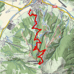
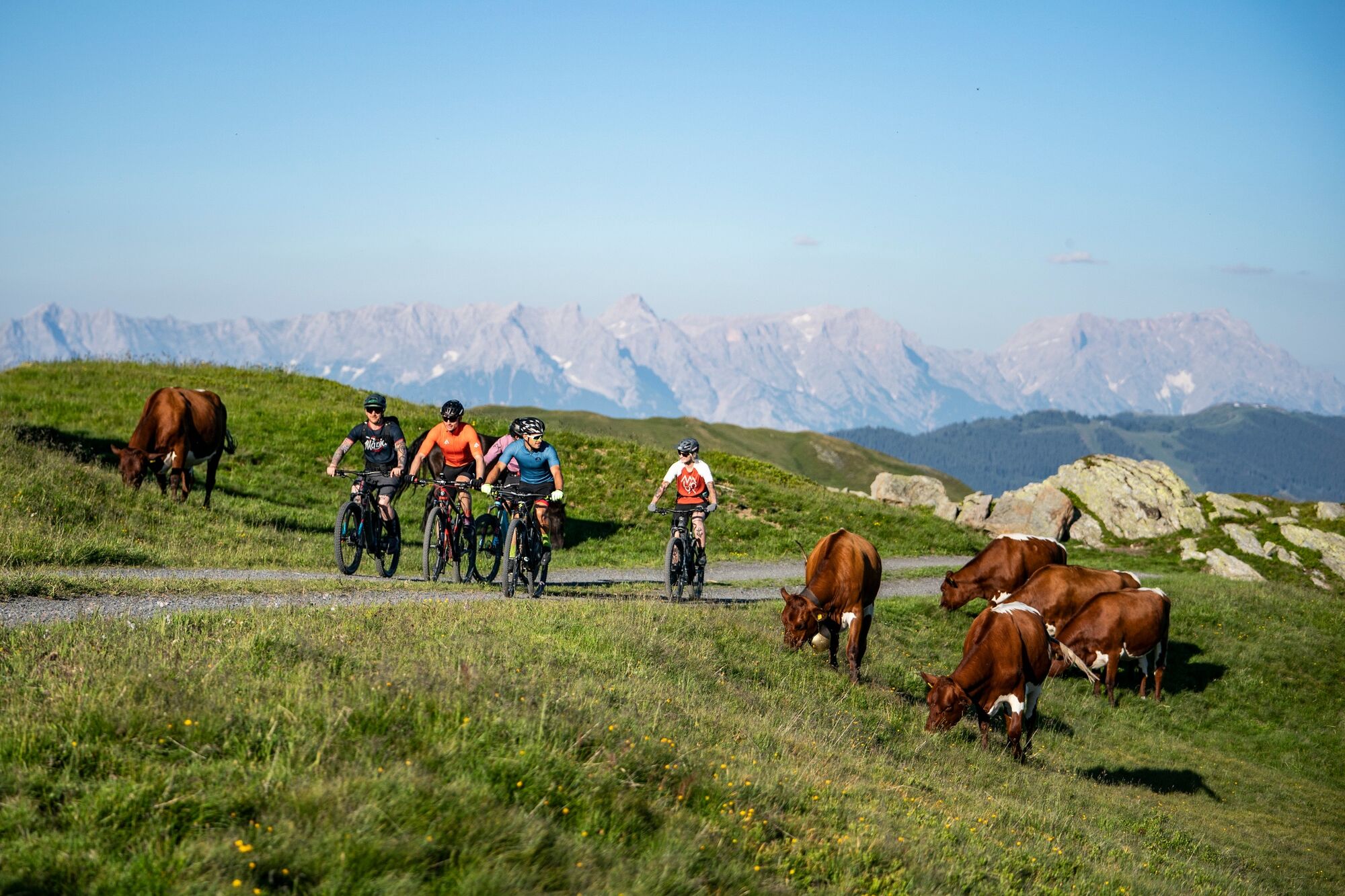
Classic uphill loop into the alpine pasture region east of Saalbach.
- Difficulty
-
medium
- Rating
-
- Starting point
-
Schattberg X-press bottom station
- Route
-
SaalbachAlpine Wasserskiwand1.5 kmReit2.4 kmHochwart Tenne3.6 kmVorderglemm3.8 kmJausern3.9 kmIgelsberg4.2 kmHochwartalm8.8 kmRachkuchl8.9 kmThurneralm12.3 kmSaalbach18.8 km
- Best season
-
JanFebMarAprMayJunJulAugSepOctNovDec
- Description
-
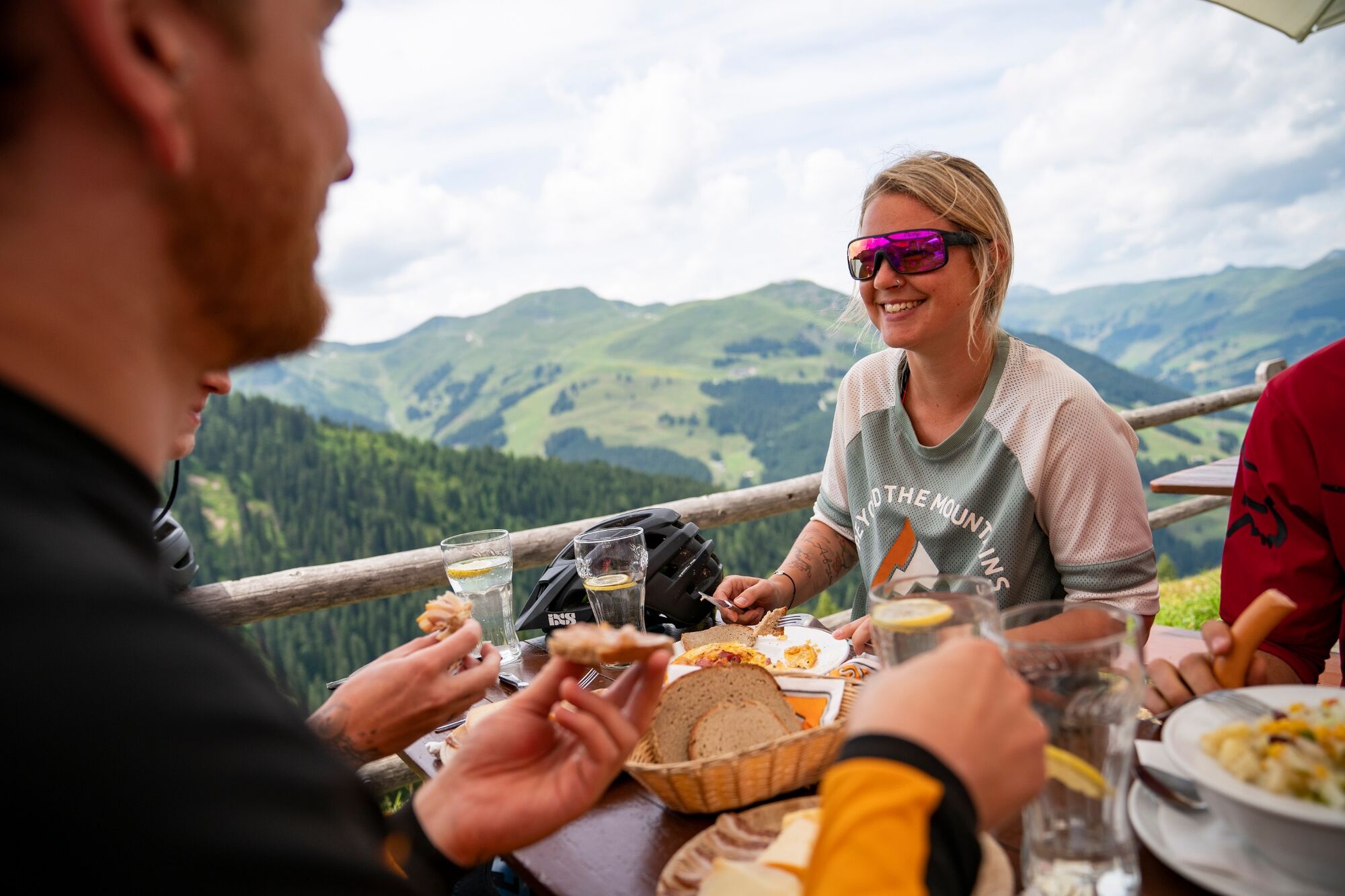
From the starting point at the Schattberg X-Press, you ride comfortably along the Glemmtal cycle path to Jausern, where the actual tour starts. Initially on asphalt, later on gravel, the route climbs up into the alpine pasture region where you can enjoy increasingly impressive views of the front Glemmtal valley. Passing the middle station of the Schönleiten cable car and the rustic Rachkuchl, you can decide just below the highest point of the tour at 1,700 m to make an additional detour up to the Schönleitenhütte (transition to the MTB network of Saalfelden Leogang) or to the Wildenkarkogel. The descent now begins via Thurneralm and Bergeralm, leading in many serpentines down to the valley floor, where you return to the Glemmtal cycle path to the starting point.
- Highest point
- 1,692 m
- Endpoint
-
Schattberg X-press bottom station
- Height profile
-

- Tips
-
Download the track sheet.
- Author
-
The tour SH 32 - Around Vorderglemm's Alpine Pastures is used by outdooractive.com provided.


General info
-
Saalbach Hinterglemm
434
-
Viehhofen
179