© Saalbach Hinterglemm - Hansi Heckmair

© Saalbach Hinterglemm - Hansi Heckmair

- Brief description
-
Just as you like - depending on your mood, you can choose your individual route.
- Difficulty
-
medium
- Rating
-
- Starting point
-
Hinterglemm centre
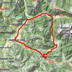
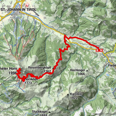
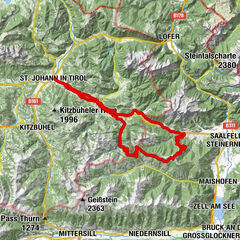
- Route
-
Roßwaldhütte5.4 kmWieseralm6.9 kmEdelweiss Alpenkino7.7 kmHinterglemm9.5 km
- Best season
-
JanFebMarAprMayJunJulAugSepOctNovDec
- Description
-
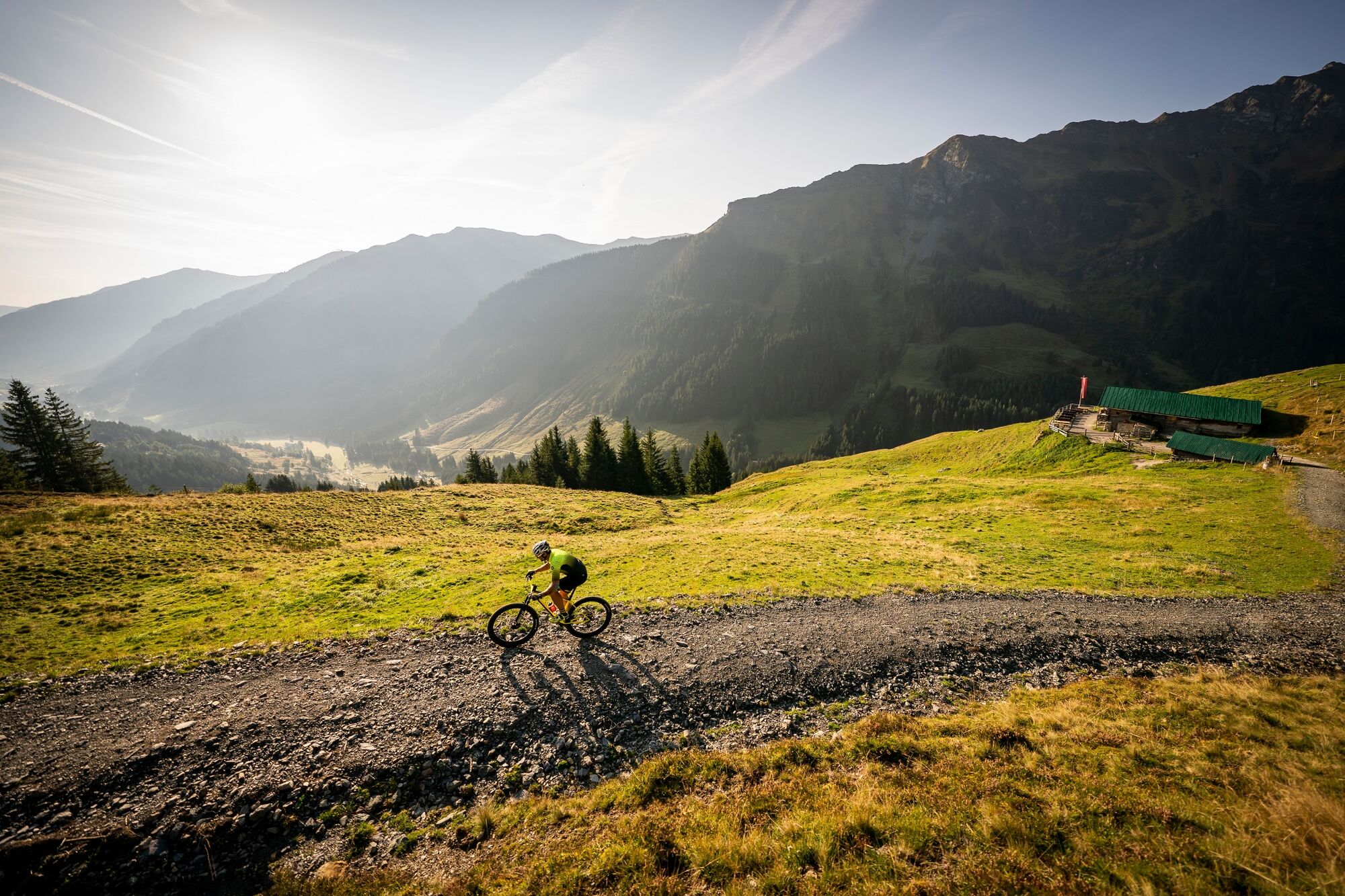
The name says it all here - four different routes connect the valley trail with junctions on the mountain. This allows you to find the right route depending on your condition and time. The trails run partly on forest and partly on asphalt roads and offer perfect training opportunities for uphill-oriented riders.
At a total of six junctions, you will find an overview of the route and details on kilometres and altitude metres to the next decision point.
- Highest point
- 1,574 m
- Endpoint
-
Hinterglemm centre
- Height profile
-

- Tips
-
Download the track sheet.
- Author
-
The tour SH 41 Create your own route is used by outdooractive.com provided.
GPS Downloads


General info
Refreshment stop
Other tours in the regions
-
Saalbach Hinterglemm
434
-
Fieberbrunn
139