- Brief description
-
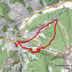
Great mountain bike tour in Grossarl, where you can have a break at the Unterwandalm and Karseggalm.
- Difficulty
-
medium
- Rating
-
- Starting point
-
cycle path Grossarl - Grossarler Genuss
- Route
-
Großarler Genuss-Bistro0.0 kmWimmkapelle0.6 kmUnterwandalm9.0 kmKarsegg-Heimalm9.8 kmWimmkapelle19.0 kmGroßarler Genuss-Bistro19.6 km
- Best season
-
JanFebMarAprMayJunJulAugSepOctNovDec
- Description
-
You start in the village center in Grossarl. Then you cycle along the cycle path. After the Grossarler Genuss, you cycle upwards.
You pass several houses and farms, then you reach the Sonneggbrücke, which is a very popular starting point for many hikes.
You cycle along the forestry where you pass the Hochbruckhütte. At the crossing, you turn left towards Unterwandalm.
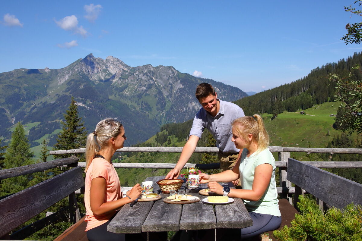
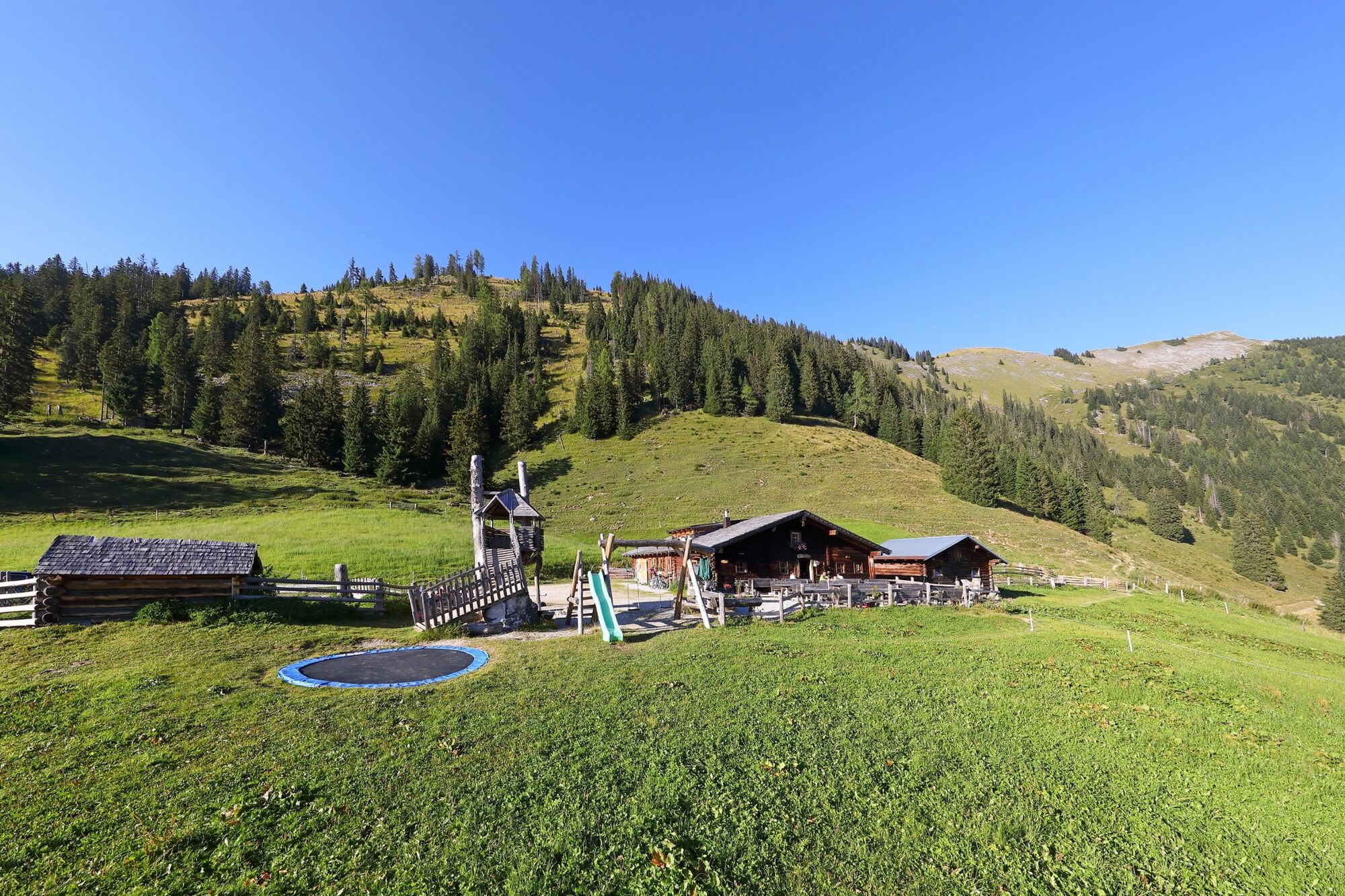
On the Unterwandalm, the people often sing and play music. Of course, you can enjoy self-made delicacies.
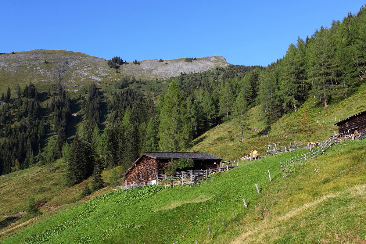
You can already reach the Karseggalm from the Unterwandalm and it is easily accessible via a path. The Karseggalm is the oldest managed alp in Grossarltal. A look inside the alp is definitely worthwhile. There is still an open fireplace and the floor is made of clay. Strengthened and refreshed, you can either return along the same path or take the forest path south.
- Directions
-
The starting point of the tour is at the Großarler Genuss (Wimmbrücke). Follow the Sonneggweg uphill past the Hoamalm until you finally reach the Sonneggbrücke car park. Here you follow the gravel road to the left through the forest. At the fork after approx. 7.6 km, continue on the right-hand path. On the last stretch of the tour the gradient decreases and after a short time the Unterwandalm is already in sight. From here you continue along a 0.8 km path to the Karseggalm. Head south along the gravel path, turn right at the next road junction and follow the forest road into the valley.
- Highest point
- 1,614 m
- Endpoint
-
Karseggalm
- Height profile
-

- Equipment
-
mountain bike, helmet, beverages
- Safety instructions
-
There is some traffic along the street.
- Tips
-
You can elongate this tour towards Maurachalm and Karseggalm.
- Additional information
- Directions
-
You can reach the starting point of this tour by mountain bike via the valley cycle path from the centre of Grossarl in approx. 4 km.
- Author
-
The tour Grossarl: Unterwandalm - Karseggalm is used by outdooractive.com provided.


General info
-
Katschberg Lieser-Maltatal
238
-
Großarltal
306
-
Großarl
116