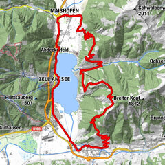


- Brief description
-
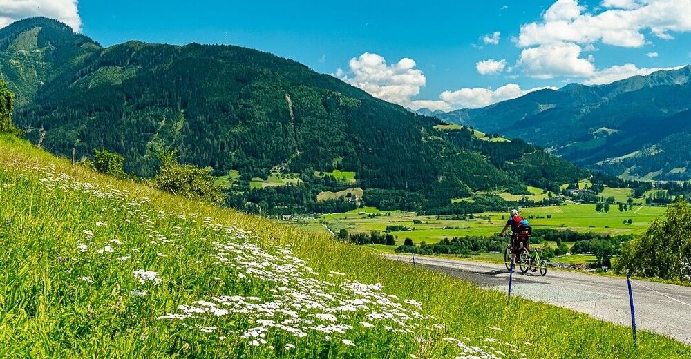
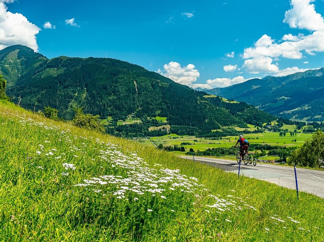
This short tour leads along a continuously paved mountain road.
- Difficulty
-
medium
- Rating
-
- Starting point
-
Zell am See
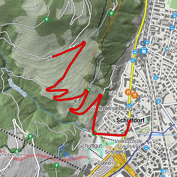
- Route
-
Kirche St. Pius XSchüttdorf0.0 kmSchüttgut0.3 kmSüdtirolersiedlung0.6 km
- Best season
-
JanFebMarAprMayJunJulAugSepOctNovDec
- Directions
-
Depart centre of Zell am See – over bike path to Schüttdorf – passed the church – right turn after the Dorfschenke restaurant and up the asphalt mountain road.
Track sign: 17F
- Highest point
- 997 m
- Endpoint
-
Keilberg - Entwiesbauer
- Height profile
-

- Additional information
-
From here we recommend a 25-minute hike to the reservoir on the Plettsaukopf.

-

-
AuthorThe tour MTB tour ZE1 Keilberg is used by outdooractive.com provided.
GPS Downloads


General info
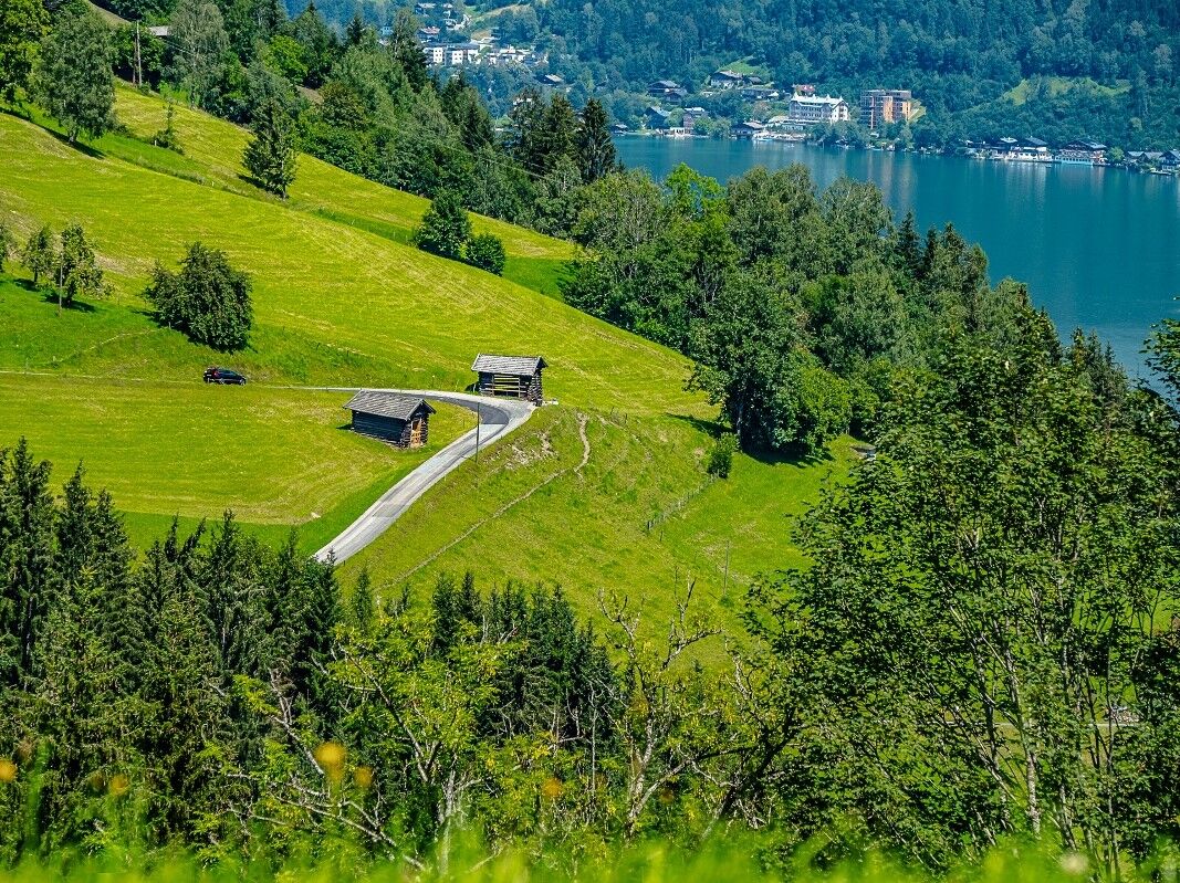
A lot of view
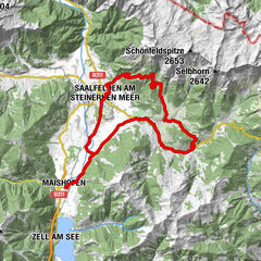
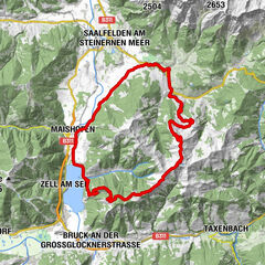
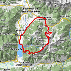
Other tours in the regions
-
Zell am See - Kaprun
309
-
Schmittenhöhe
163